Mapping Highways at High Altitude With the Mavic 3T
Mapping Highways at High Altitude With the Mavic 3T: A Field Report From the Edge of Thin Air
META: Expert field report on using the DJI Mavic 3T for high-altitude highway mapping, covering thermal use, photogrammetry workflow, O3 transmission, GCP strategy, and battery planning.
I’ve mapped roads in places where the wind arrives before the sun does, where every battery cycle feels shorter than it should, and where the difference between a clean mission and a wasted day often comes down to preparation rather than aircraft size.
High-altitude highway work has a way of exposing weak assumptions. A flight plan that feels efficient at lower elevations can become clumsy in thinner air. A visual waypoint on the ground can disappear into a uniform palette of rock, dust, snow edge, and concrete. Even simple corridor mapping gets harder when road surfaces, guardrails, culverts, retaining slopes, and surrounding terrain blend together from one pass to the next.
That is where the Mavic 3T became more useful to me than many people expect.
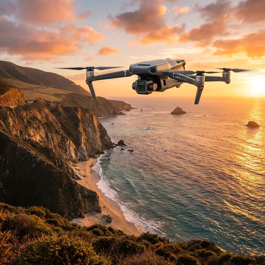
Most teams look at the Mavic 3T and think first about thermal signature work. That’s fair. The aircraft is built around a multi-sensor payload, and the thermal side gets most of the attention. But on highway mapping jobs in high-altitude environments, the real value is not that it replaces a dedicated survey platform in every situation. It doesn’t. The value is that it reduces friction in the field. It helps you identify what matters faster, verify edge conditions earlier, and keep a corridor job moving when the environment is trying to slow you down.
My shift toward the Mavic 3T started after a difficult mountain road assignment where the problem was not raw coverage. We had enough flight time on paper. We had a clean corridor plan. What we lacked was certainty. Snowmelt had changed shoulder conditions. A few drainage paths were behaving differently than expected. Several surface temperature differences across the pavement hinted at moisture retention and patch variability, but they were easy to miss in standard visual passes. We spent too much time re-flying short sections because we were discovering issues after the fact instead of during the mission.
The Mavic 3T changed that workflow.
Why the Mavic 3T Fits High-Altitude Corridor Work
The aircraft’s strength is not brute force. It is flexibility in a compact airframe. For a highway corridor in mountainous or elevated terrain, that matters because setup time expands quickly when access is poor. If your launch point is a narrow turnout, a temporary works area, or a shoulder section with limited safe staging space, a folding platform is easier to deploy repeatedly than larger systems.
The Mavic 3T also benefits from DJI’s O3 transmission system, which in practical terms means more stable situational awareness when you are working long linear routes and managing terrain changes. Highway corridors at altitude are rarely flat, and signal confidence matters when a road bends around ridgelines, climbs over passes, or drops into cut sections. I’m not talking about treating it as a substitute for proper visual line-of-sight discipline or regulatory planning. I’m talking about the operational reality that a more resilient video and telemetry link helps the pilot make better calls sooner.
That matters even more when your observer and pilot are dealing with changing light, cold air, and terrain shadow in the same mission window.
The other detail that deserves more attention is AES-256 encryption. Many highway projects involve sensitive infrastructure data, contractor coordination, or geospatial records that should not be treated casually. Encryption alone does not solve data governance, but it is one piece of a more professional workflow. If you are collecting imagery around bridges, mountain passes, rockfall mitigation structures, or access-controlled road assets, secure transmission and disciplined data handling are not optional habits.
Thermal Is Not a Side Feature Here
On a standard road mapping brief, some crews assume thermal is only relevant for utility checks or search tasks. That misses the point. In high-altitude highway environments, thermal gives you a second reading of the corridor that can save hours.
Road surfaces do not heat and cool evenly. Moisture pockets, drainage failures, recent patch repairs, culvert outlets, seepage zones, and delaminating shoulder sections can all present differently in thermal imagery depending on time of day and weather conditions. You still need engineering judgment. You still need ground truth. But thermal lets you flag anomalies while you are already on site instead of discovering them later in a stitched orthomosaic and wondering whether they justify another trip.
That was one of the biggest changes for me. Instead of flying a clean photogrammetry mission and then scheduling an additional inspection visit for suspect sections, I could use thermal signature clues during the same field window to prioritize rechecks. On one alpine road project, we used early morning thermal passes to isolate cold, persistent moisture zones near a retaining edge where runoff was undercutting the shoulder. The visible imagery alone showed the geometry. Thermal showed where the story was changing under the surface.
That is operationally significant because a highway corridor is long, access can be poor, and weather windows close fast at elevation. If one aircraft helps your crew leave the mountain with fewer unanswered questions, that is real value.
Photogrammetry With the Mavic 3T: Where Discipline Matters
Let’s be direct: if your only objective is highest-end corridor mapping accuracy across a major highway package, there are platforms built specifically for large photogrammetry volumes. The Mavic 3T is not a magic shortcut. But it can absolutely support photogrammetry workflows when used with realistic expectations and a disciplined field method.
The key is to stop thinking of it as a generic “fly and stitch” tool.
At altitude, overlap planning becomes more important because wind drift and terrain relief can quietly degrade your dataset. I tend to be conservative with corridor overlap when the road traverses uneven grades or adjacent embankments. A plan that looks efficient in the office can produce weak reconstruction around slopes, barriers, drainage channels, and cut faces if you trim overlap too aggressively.
Ground control points matter even more. GCP placement on highway work should not be an afterthought thrown onto a few easy shoulder spots. In mountain corridors, vertical variation can distort confidence if your control is clustered in only the most accessible areas. Spread GCPs through changes in grade, curvature, and elevation. Include points near structures, transitions, and sections where the terrain falls away from the road prism. The point is not simply to have GCPs. The point is to have them where they stabilize the model.
That is one reason I still trust a smaller aircraft like the Mavic 3T on jobs where time is tight: it gives me the ability to inspect the control environment visually and thermally before committing to the full capture. Sometimes a control marker that looks ideal from the ground is too close to a reflective barrier, a variable shoulder texture, or a snow edge that will complicate identification in processing. With the Mavic 3T, I can assess those details quickly.
Thin Air Changes Battery Logic
Battery planning in high-altitude work deserves blunt language. You do not have as much margin as you think.
Cold temperatures reduce performance. Wind exposure increases corrections. Terrain often tempts crews into extending legs that look harmless on a map but become expensive in time and reserve once the aircraft is climbing, repositioning, and holding for line checks. If you approach battery cycles with sea-level habits, the mountain will punish you.
This is where hot-swap batteries become less of a convenience and more of a rhythm. On corridor missions, I want the handoff between flights to be boring. Not rushed. Not improvised. Just a smooth sequence: land, change, health check, relaunch, continue. The Mavic 3T fits that tempo well because it is fast to turn around, and that reduces the dead time that often breaks concentration on long highway jobs.
It also changes how you divide the corridor. At lower altitudes, crews sometimes build larger segments to minimize takeoffs. At higher altitudes, I prefer tighter segments with cleaner reserves. That gives the team more flexibility when wind increases or a thermal check reveals a section worth revisiting. The mission ends up more adaptive and, usually, more productive.
O3 Transmission in Mountain Road Environments
A stable link is easy to underappreciate until the terrain starts interfering with your confidence.
On mountain roads, your aircraft may pass through sections where the visual scene changes rapidly: bright open stretches, shaded cuts, snow patches, dark rock, bridge transitions, and roadside infrastructure. O3 transmission helps keep that visual feed usable and reliable, which is not just a comfort feature. It influences decision-making. Corridor mapping often requires quick judgment calls about pausing, adjusting altitude, or adding a verification pass over a feature that was not obvious in pre-planning.
I’ve found this especially helpful when coordinating with a spotter positioned farther down a road section. If we see potential runoff damage, a culvert outlet issue, or a shoulder anomaly in the live feed, we can decide immediately whether to collect additional imagery before moving the launch point. That prevents the classic problem of realizing later that the one section you need most is the one section you captured too narrowly.
If you want to compare field notes or ask how I structure these long corridor missions, you can message me directly here: https://wa.me/85255379740
BVLOS Talk Needs Restraint
A lot of corridor mapping discussions drift into BVLOS because highways are linear and everyone wants efficiency. I understand the temptation. But the practical answer is simple: work within the rules that govern your operation, your airspace, and your approvals.
What the Mavic 3T does offer, even when you are not operating beyond visual line of sight, is a workflow that makes segmented corridor capture less painful. Good transmission quality, quick deployment, and rapid battery changes reduce the penalty of flying legally constrained sections one at a time. That is a better way to think about it. Not as a platform that excuses weak planning, but as one that makes disciplined planning easier to execute.
The Best Use Case: Mapping Plus Verification
If I had to summarize where the Mavic 3T earns its place in high-altitude highway work, it would be this: it narrows the gap between mapping and inspection.
That sounds subtle, but in the field it is huge.
A pure mapping aircraft collects geometry well. A pure inspection workflow identifies defects well. Highway teams often need both, but not always with the budget, access, crew size, or weather window to run separate operations. The Mavic 3T is effective because it lets one field team collect corridor imagery for photogrammetry while also using thermal data to spot conditions that deserve immediate attention.
That might include:
- moisture-related shoulder instability
- drainage irregularities near culverts
- pavement patch temperature contrast
- heat-retaining surfaces around structures
- slope runoff paths crossing toward the carriageway
Those observations do not replace survey control, engineering review, or formal defect analysis. They do improve field awareness. And that is exactly what high-altitude projects need, because remobilization is expensive in time even when no one is talking about cost.
What I’d Do Differently Every Time Now
After using the Mavic 3T on multiple elevated corridor jobs, I no longer treat thermal as a secondary payload. I build the mission around it. I plan a visible-light mapping block, then bracket it with thermal passes timed for useful contrast. I place GCPs for reconstruction quality, but I also think about how they appear against variable mountain road textures. I break the highway into shorter, cleaner flight segments. I assume batteries will feel smaller than they do at lower altitude. And I use the aircraft’s transmission and secure link features as practical tools, not brochure bullet points.
Those choices came from frustration, not theory. From roads where the shoulder looked fine until morning thermal revealed persistent cold seepage. From corridors where a stronger live feed helped us catch a drainage issue before packing up. From jobs where a compact platform made repeat launches possible in places a larger setup would have slowed to a crawl.
The Mavic 3T is not the biggest aircraft I use. It is not always the final answer for large-scale survey deliverables. But for high-altitude highway mapping, especially where the line between survey and inspection starts to blur, it has earned a permanent place in the kit.
That is not because it does everything. It is because it solves enough of the right problems in one airframe.
Ready for your own Mavic 3T? Contact our team for expert consultation.