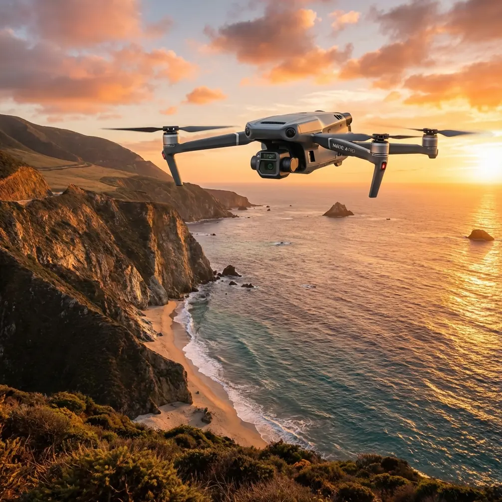
Mavic 3T for Dusty Highway Mapping: A Field Tutorial
Mavic 3T for Dusty Highway Mapping: A Field Tutorial from a Systems Perspective
META: Expert tutorial on using the Mavic 3T for highway mapping in dusty conditions, with practical workflow advice on thermal signature checks, photogrammetry planning, airflow management, and field-ready accessories.
Highway work looks simple from a distance. Long corridors. Repetitive surfaces. Predictable geometry. Then you get on site and reality takes over: dust hanging in the air, heat shimmer over asphalt, traffic-adjacent turbulence, and a survey corridor that refuses to behave like a clean textbook mission.
That is where the Mavic 3T earns its place. Not because it is the biggest aircraft in the kit, and not because thermal alone solves mapping. It earns trust because it lets one compact platform handle several jobs at once: corridor documentation, thermal anomaly screening, fast site verification, and repeatable data capture when conditions are less than polite.
I’m Dr. Lisa Wang, and if I were setting up a Mavic 3T workflow for dusty highway mapping, I would not start with the camera specs. I would start with systems thinking.
The reference material behind this article comes from aircraft design, not drone marketing. One source discusses how inlet geometry changes airflow behavior and even electromagnetic scattering. Another explains why environmental control systems are best understood through mathematical models, gain, lag, and stability analysis rather than isolated parts. Those may sound far removed from a compact UAV. They are not. They offer a useful framework for operating the Mavic 3T in dusty highway corridors, where airflow, sensor response, and mission stability all interact.
Why dusty highway mapping is harder than it sounds
Dust affects more than image clarity.
It changes the thermal scene. It reduces contrast at low altitude. It can influence prop wash recirculation near the takeoff point. It also creates a subtle operational problem: crews often react to dirty conditions by flying lower and slower, hoping to “see through” the haze. In practice, that can reduce efficiency and make data quality less consistent across the corridor.
For the Mavic 3T, the smarter approach is to separate the mission into layers:
- Primary visual mapping run for corridor photogrammetry
- Thermal verification passes for drainage, surface heating irregularities, or utility-adjacent checks
- Spot inspection flights where terrain, structures, or dust pockets need closer review
That structure matters because the Mavic 3T is strongest when used as a multi-sensor field instrument, not as a one-pass miracle tool.
Start with airflow, not just flight lines
One of the reference documents makes a precise design point: an S-shaped intake can reduce radar cross section compared with a straight intake, but if the designer increases offset by stretching the middle straight section too much, average performance in certain conditions can get worse. It even recommends a centerline offset around 1 equivalent diameter as a practical balance.
Forget the stealth context. The operational lesson is still valuable: geometry is always a compromise, and chasing one benefit too aggressively can degrade the whole system.
That same logic applies to Mavic 3T mission design in dusty highway work.
A common mistake is building a corridor plan that prioritizes only overlap and ground sampling distance while ignoring how the aircraft will repeatedly pass through its own disturbed air near embankments, jersey barriers, cut sections, or bridge approaches. In dusty conditions, a route that is theoretically optimal on paper can produce inconsistent imagery if it forces the aircraft into repeated low-altitude transitions over loose roadside material.
So plan your highway corridor like an aircraft designer thinking about flow quality:
- Avoid repeated low turns over active dust sources
- Use smoother run-in and run-out segments at each leg
- Keep launch and recovery zones offset from fine particulate areas when possible
- Resist the urge to “tighten” the route if it increases disturbed air exposure
The reference point about not making the straight mid-section too long is really a caution against over-optimizing one variable. In drone terms, do not let one target metric, such as overlap percentage, dominate the mission at the expense of stable, clean acquisition.
The Mavic 3T’s thermal payload is best used as a decision layer
For highway projects, thermal is often misunderstood.
The Mavic 3T is not replacing a dedicated large-area survey platform for formal topographic production. What it does exceptionally well is add thermal signature awareness to corridor work. That matters in dusty environments because visual ambiguity rises fast while thermal patterns can still reveal useful contrast.
Practical examples:
- identifying areas where water is trapped below or adjacent to surface material
- checking culverts, drainage outfalls, or shoulder saturation differences
- spotting unusual heat retention near repaired sections
- verifying equipment staging areas and stockpile boundaries during project monitoring
Thermal on the Mavic 3T also helps when visual imagery is compromised by low-angle sunlight reflecting off asphalt or when dust softens edge definition in RGB frames.
The key is timing. If your thermal pass happens after the corridor has fully equalized in temperature, your anomaly separation shrinks. Early morning and late afternoon often produce more readable contrast, though the best window depends on pavement composition, prior weather, and site activity.
Sensor behavior: think in gain, lag, and stability
The second reference document is about humidity control systems, but the deeper point is broader: useful system models come from understanding how each part responds over time. It discusses using mathematical models derived from physical processes, and notes that for most real systems, engineers rely on computers because the workload is too large for manual treatment. It also highlights that sensor gain and dynamic response change with operating state.
That is exactly how serious Mavic 3T crews should think about data capture.
A highway mapping mission in dust is not static. The environment changes from cut to fill, from open shoulder to bridge deck, from cool dawn to heated pavement. The aircraft, camera system, operator inputs, and processing workflow all respond to those shifts.
Here is the practical translation:
1. Sensor response is not instant truth
If you swing quickly from shaded concrete to sun-heated asphalt, the thermal readout and scene interpretation need a moment of discipline. The image is valid, but the operator must account for changing context, emissivity variation, and environmental loading.
2. Stable missions beat reactive flying
The reference text points toward stability analysis because complex systems contain lead, lag, and nonlinearity. In field terms, jerky manual corrections in dusty corridor work often create more data inconsistency than the dust itself. Use repeatable speed, repeatable altitude, and clean lane spacing.
3. Environmental states matter
The source notes that component gain and dynamic characteristics vary with flight state. For the Mavic 3T, highway conditions change the practical behavior of your mission: wind channeling along barriers, heat plumes over pavement, and suspended dust near active work zones all affect the quality of what the payload can observe.
This is one reason I prefer to build a short validation segment before committing to the full corridor. Fly a representative 200 to 300 meter sample, inspect both RGB and thermal output, and only then lock the acquisition template.
A practical Mavic 3T workflow for dusty highway corridors
Here is the field method I recommend.
Phase 1: Pre-mission corridor design
Define the mission objective clearly. “Map the highway” is not enough. Are you building an orthomosaic, documenting progress, screening drainage issues, or checking heat-related anomalies in repaired pavement?
For photogrammetry, set your overlap based on the surface texture and the need for reliable tie points. Highways can be visually repetitive, so nearby shoulders, markings, medians, barriers, and adjacent features become important for reconstruction. If you are using GCPs, place them where they remain visible but outside dust-heavy traffic of site operations. In long corridors, control distribution matters more than dropping a few targets near the start.
If the site team expects downstream CAD or GIS integration, verify the coordinate framework before launch. A Mavic 3T can produce highly useful corridor data, but only if the geospatial side is disciplined from the beginning.
Phase 2: Site setup and air management
Do not launch from the most convenient spot. Launch from the cleanest practical spot.
A third-party landing pad with raised edge structure is a small accessory that makes a real difference here. In highway dust, it helps reduce particulate blowback during takeoff and landing, which protects the airframe and cuts down contamination risk on the payload face. This is one of those upgrades people dismiss until they compare a clean aircraft after ten sorties with one launched from bare aggregate all day.
I also like using a compact high-efficiency filter case for transport and field battery handling, especially if crews are swapping packs roadside.
The Mavic 3T benefits from hot-swap batteries in practice even though the real gain is not only speed. Faster turnaround means you preserve lighting consistency across consecutive corridor segments instead of wasting the best environmental window on ground delays.
Phase 3: Visual corridor pass
Run the RGB acquisition first if dust density is rising with site traffic.
Maintain enough altitude to reduce the effect of local particulate disturbance while preserving the ground resolution your deliverable needs. In most highway environments, crews get better consistency by flying slightly higher with cleaner geometry rather than lower with marginally sharper but less stable image sets.
This is where O3 transmission matters operationally. On a highway corridor, especially near vehicles, barriers, sign gantries, and intermittent obstructions, robust video and control link quality improves confidence during long linear passes. It does not remove the need for legal compliance or visual awareness, but it reduces decision friction when monitoring framing, position, and environmental changes.
If your project structure allows extended corridor work, plan segmentation carefully. For regulated operations, any BVLOS concept must follow local rules and authorization requirements. From a workflow perspective, even when you are operating within standard visual constraints, designing the mission as linked corridor segments improves continuity and reduces rushed repositioning.
Phase 4: Thermal verification pass
Now use the Mavic 3T for what many larger mapping drones cannot do as efficiently: immediate thermal context.
Do not simply repeat the RGB grid and hope useful thermal results appear. Instead, target the likely anomaly zones:
- shoulder-to-lane transitions
- drainage paths
- culvert entries and exits
- patched sections
- utility crossings
- areas where dust or moisture behavior looked unusual in visible imagery
Thermal should answer questions, not create vague screenshots.
A good field habit is to compare thermal observations with what the RGB mapping run already suggested. If both line up, confidence rises. If they diverge, that is often the most interesting part of the site.
Phase 5: Secure handling and transfer
Highway projects often involve infrastructure data, contractor records, and location-sensitive materials. That is where AES-256 support enters the conversation as a practical protection measure, not a buzzword. If your team is transporting logs, media, or project files between field units and office systems, documented encryption discipline should be part of the workflow.
Security is not just about privacy. It is also about chain of custody and trust in deliverables.
Where a third-party accessory actually changes capability
You asked for a concrete enhancement, so here is one I have seen make the Mavic 3T more effective in dusty road work: a quality third-party RTK mounting and field-integration kit paired with properly managed control workflow.
The aircraft is already versatile, but when your project needs tighter spatial repeatability for corridor monitoring, an RTK-enabled workflow reduces friction between field acquisition and engineering use. That does not eliminate the role of GCPs; in fact, on critical jobs, I still want both. But it strengthens consistency across repeat missions and supports cleaner change detection over time.
Another modest but genuinely useful add-on is a sun hood or high-visibility monitor rig for the controller. Dusty highway sites are bright. Operator misreads happen when the display is washed out, and one missed framing issue can cost a segment.
If your team wants help selecting field-proven add-ons for this type of work, you can message a Mavic 3T specialist here.
What the aircraft design references actually teach a Mavic 3T operator
At first glance, a discussion of intake lip geometry and a chapter on humidity control math seem unrelated to a compact enterprise drone. In practice, they point to the same professional habit: stop treating the aircraft as a bag of features.
The first source explains that shape affects not only direct interaction at the edge, but also what happens deeper inside the system. It specifically notes that the intake lip shape influences diffraction at the edge and the propagation behavior of energy entering the duct. Operationally, the drone equivalent is this: the first environmental interaction, dust, heat, glare, airflow, launch surface, often determines the quality of everything that follows.
The second source explains that models need component-by-component numerical definition and that computers are used because real systems become too complex to solve casually. For Mavic 3T highway mapping, that means reliable outcomes come from repeatable method: defined overlap, tested altitude, known control, structured battery rotation, and a deliberate split between RGB mapping and thermal interpretation.
That is how professionals extract value from the platform.
Final field advice for Mavic 3T highway teams
If I had to narrow this tutorial to five field rules, they would be these:
- Build separate mission logic for photogrammetry and thermal, even if they happen back to back.
- Treat dust as an airflow and visibility problem, not only a cleanliness problem.
- Validate a short sample segment before committing to the full corridor.
- Use GCPs and repeatable control where deliverables will feed engineering decisions.
- Invest in small accessories that reduce contamination and improve operator consistency.
The Mavic 3T is especially effective on dusty highway work when crews stop asking, “What can this drone do?” and start asking, “How do we make this system stable in this environment?”
That shift changes the output. Cleaner data. Better interpretation. Fewer re-flights.
Ready for your own Mavic 3T? Contact our team for expert consultation.