Expert Mapping with Mavic 3T in Mountain Power-Line Work
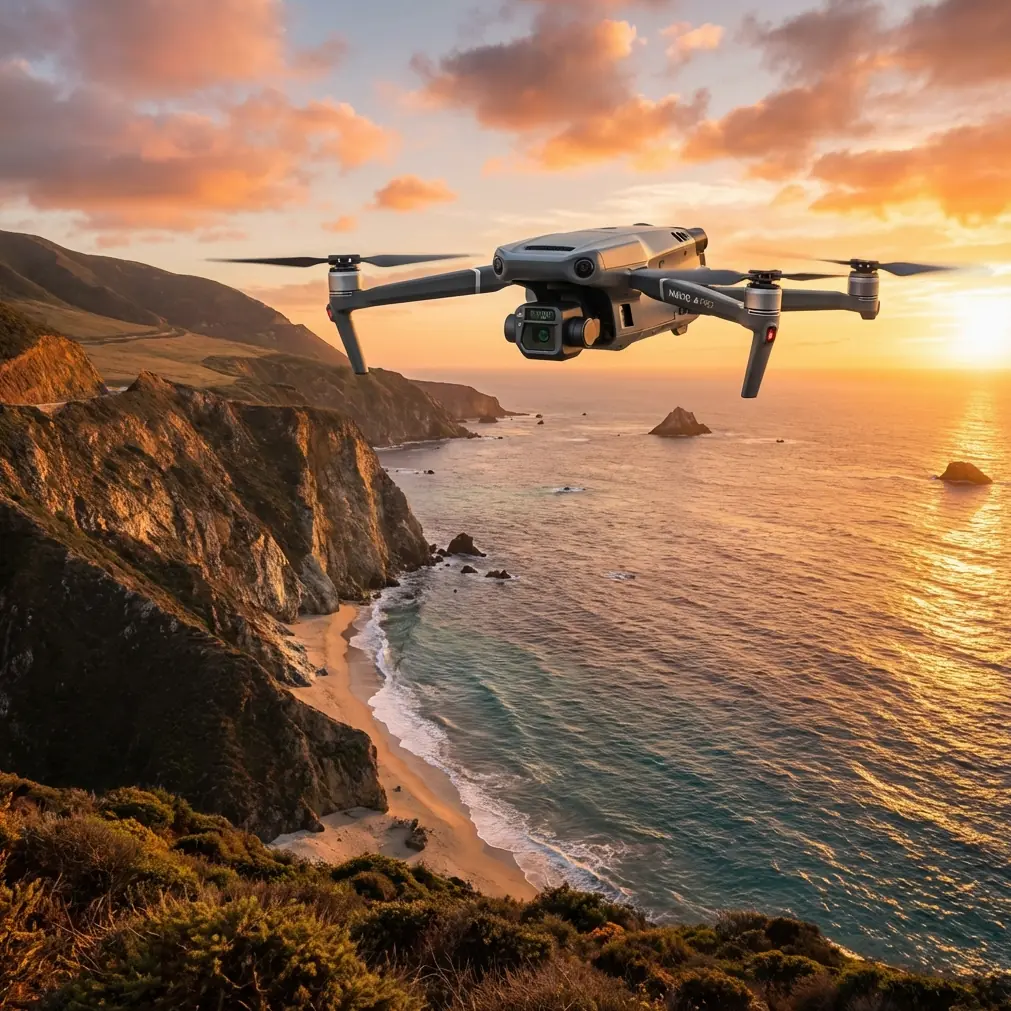
Expert Mapping with Mavic 3T in Mountain Power-Line Work: A Field Report
META: A practical field report on using the Mavic 3T for mountain power-line mapping, with thermal workflow insights, antenna positioning advice, offshore drone-sighting lessons, and why materials discipline matters in harsh environments.
Mountain power-line work exposes every weak assumption in a drone workflow.
On paper, the mission sounds straightforward: fly the corridor, collect imagery, capture thermal anomalies, build a clean model, flag points for follow-up. In the field, that neat sequence collides with terrain masking, changing wind over ridgelines, glare off conductors, broken line-of-sight, and the constant pressure to bring back usable data before weather closes the window. This is where the Mavic 3T earns its place—not because it is magical, but because it combines enough sensing, transmission, and operational efficiency to keep a difficult inspection moving.
I’ve been looking at the Mavic 3T specifically through the lens of mountain power-line mapping, and one recent offshore headline sharpened the point. The BBC reported drone sightings near North Sea drilling rigs, and OEUK called the incidents “concerning,” while also saying they “did not threaten the safety of the offshore installations.” That distinction matters. In industrial airspace-adjacent environments, not every drone event becomes a direct safety incident, but every unidentified aircraft or poorly coordinated operation creates friction, uncertainty, and operational drag. For utility teams working in mountains, the lesson is obvious: disciplined planning and clear aircraft accountability are not paperwork habits. They are part of site continuity.
The Mavic 3T fits best when the job demands two things at once: visual mapping discipline and fast thermal interpretation.
For power lines in mountainous terrain, those are not separate missions. A corridor map without heat context can miss developing issues. A thermal sweep without positional rigor can create a folder full of images that are hard to defend later. The real value is in tying thermal signature findings back to a repeatable geospatial record—whether that is a photogrammetric model, a corridor orthomosaic, or a structured defect log supported by GCPs where terrain and access allow.
Why the Mavic 3T makes sense in mountain corridors
The strongest argument for the Mavic 3T is not headline specification chasing. It is workflow compression.
A mountain inspection day has a narrow margin. Hiking to launch points takes time. Wind windows can be short. Terrain may force multiple takeoff locations to maintain control link quality and visual awareness. If one aircraft can document tower geometry, conductor surroundings, vegetation encroachment indicators, and thermal irregularities in one coordinated pass plan, the team avoids a lot of unnecessary movement. That is especially useful when the corridor crosses steep slopes and access roads are limited.
The thermal camera changes the conversation around prioritization. In practice, thermal results often help determine where to spend close visual attention. On a long route, not every span deserves the same level of scrutiny. Thermal signature review can elevate suspect connection points, load-related heating patterns, or equipment inconsistencies that deserve a tighter secondary pass. The visible payload then provides the visual context needed to confirm whether the thermal finding is likely operationally significant or just environmental noise.
That’s where photogrammetry still matters. Utility teams sometimes think of thermal as the “inspection” layer and mapping as the “documentation” layer. In mountains, they feed each other. A well-structured map gives you terrain relationships, vegetation context, and repeatable revisit geometry. That improves the value of future thermal comparison.
Antenna positioning advice for maximum range
If I had to give only one field tip for Mavic 3T mountain work, it would be this: stop aiming the antenna tips at the aircraft.
With O3 transmission, too many pilots still fly as if the controller should be pointed like a flashlight. For maximum range and stability, the broad face of the antennas should be oriented toward the aircraft’s likely position, not the narrow end. In broken mountain terrain, this becomes even more critical because the signal is already fighting slope shielding, rock faces, tree cover, and frequent angle changes as the aircraft moves along a corridor.
A practical method:
- Stand where the corridor opens in the direction of travel, not tucked behind a vehicle or ridge shoulder.
- Keep your body from blocking the controller.
- Tilt the controller so the flat antenna surfaces present toward the aircraft’s operating zone.
- As the drone moves along the line, adjust your stance gradually rather than making abrupt arm movements.
- If the route drops behind terrain, do not rely on raw transmission power to save the link. Reposition the pilot station.
That last point is where mountain crews either look experienced or not. A lot of “range problems” are really launch-site problems. The best takeoff point is not always the closest road pull-off. It is the point that preserves corridor visibility and radio geometry for the longest useful segment.
When teams ask me how to extend practical range in the mountains, I usually talk less about hardware and more about pilot geography. O3 is capable, but no transmission system likes rock between pilot and aircraft.
Thermal use in mountain power-line work: what the data is really telling you
Thermal imagery is seductive because it appears immediate. Hot spot equals issue. Cold spot equals normal. Real-world interpretation is less forgiving.
Mountain environments alter thermal readings constantly. Sun angle changes faster than many teams expect because ridges create moving shadow lines. Wind strips heat signatures. Bare rock and metallic infrastructure can reflect or reradiate in ways that confuse inexperienced operators. That means the Mavic 3T’s thermal data should be collected with consistency in mind, not just curiosity.
A strong workflow usually includes:
- similar stand-off distances where feasible
- repeatable viewing angles on comparable assets
- environmental notes for wind and sun exposure
- visual image pairing for each suspect thermal observation
- a disciplined naming convention tied to tower or span IDs
This is where the Mavic 3T is especially useful for triage. It helps narrow the list. It should not tempt teams into sloppy interpretation.
If you are building a recurring inspection program, consistency outranks dramatic imagery every time.
Mapping discipline: where GCPs help, and where they do not
For mountain corridor jobs, GCP strategy has to be selective. Nobody wants to drag unnecessary survey gear up a slope just to satisfy a desktop preference.
Still, when the deliverable includes defensible measurements or repeatable change tracking, a few well-placed ground control points can substantially improve confidence. They matter most near critical structures, transition areas, and locations where terrain variation makes pure onboard positioning less trustworthy. You do not need to blanket the entire route. You need GCPs where the data will actually drive maintenance decisions.
The Mavic 3T is often used in mixed-mode projects: broad corridor capture, then detailed investigation at specific poles, towers, junctions, or insulator locations. In that context, GCPs are less about making every meter perfect and more about anchoring the sections that carry the most engineering relevance.
The offshore lesson: accountability is part of operational quality
That North Sea report should resonate with anyone flying around critical infrastructure. Again, the exact wording is useful: the incidents were described as “concerning,” but they “did not threaten the safety of the offshore installations.” Industrial operators notice unknown drones even when there is no direct harm. They notice because uncertainty itself is disruptive.
For mountain utility work, the takeaway is not fear. It is procedure.
Every flight near critical civilian infrastructure should be clearly attributable, documented, and coordinated within the client’s operating framework. If there are maintenance crews on the ground, they should know where the aircraft is working. If multiple teams are on the corridor, deconfliction should happen before takeoff, not after a radio call from someone who just spotted a drone over the next ridge.
The Mavic 3T’s secure workflow discussion belongs here too. Features such as AES-256 matter less as marketing shorthand and more as part of a broader expectation: inspection data, site information, and mission records should be handled with the same seriousness as the infrastructure being surveyed.
Why materials and hardware standards still matter, even if you never see them
One of the more interesting reference threads behind this piece came from aircraft design manuals discussing composite laminates and standardized hardware components. At first glance, that seems far removed from a field report on the Mavic 3T. It isn’t.
The materials reference mentions composite testing around (60 ± 3)°C and cites a laminate with 2% void content, alongside mechanical property data for T300/4211 laminates. For drone operators, the operational significance is not that you need to memorize laminate tables. It is that aircraft reliability in harsh environments is built on engineering margins, thermal behavior, and manufacturing quality that most users never directly inspect.
Mountain power-line work stresses airframes in subtle ways. Cold morning launches can turn into warm midday landings on exposed ridges. Aircraft are packed, unpacked, and carried across uneven terrain. Wind loading is rarely stable. If an aircraft platform repeatedly performs well under those conditions, that performance rests on mundane engineering realities: material behavior, assembly quality, vibration tolerance, and fastening discipline.
The standards document tells a similar story from a different angle. It lists standardized items such as nylon cable clips, quick-release clamps for conduit connections, and even high-temperature conduit quick-release clamp components. Again, not glamorous. Very relevant. Drones that work reliably in industrial settings depend on small retention and routing decisions just as much as on cameras and flight software. Cable management, connector integrity, and environmental tolerance all shape long-term reliability.
In plain English: the field experience you call “trustworthy” usually comes from engineering details no pilot sees.
Hot-swap thinking, even when the battery itself is not the star
Mountain utility missions live or die on turnaround efficiency. Whether you describe your battery workflow as hot-swap style field rotation or just disciplined battery cycling, the principle is the same: the aircraft should spend more time collecting useful data than sitting idle while the team improvises logistics.
That means pre-labeled battery sets, a charging plan tied to vehicle movement, and a mission sequence that groups flights by terrain advantage rather than by arbitrary tower numbering. The Mavic 3T becomes far more effective when battery management is treated as part of mapping design. This is especially true when thermal and photogrammetry objectives are combined, because you do not want to waste the best light or the calmest wind period on preventable resets.
BVLOS discussion: capability is not permission
Mountain corridors always tempt teams toward BVLOS thinking. The route continues, the signal looks clean, the terrain beyond the ridge seems manageable, and the pilot starts believing the aircraft can solve a planning problem by itself.
This is where mature operators separate platform capability from operational authorization. The Mavic 3T, paired with strong transmission and careful mission design, can support long corridor work efficiently. That does not make every extended mountain route appropriate for BVLOS execution. Use the aircraft’s strengths to design safer, smarter flight segments—not to rationalize weak planning.
A field rhythm that works
For a practical Mavic 3T mountain power-line day, I prefer a rhythm like this:
- Confirm corridor segment objectives before launch: mapping, thermal triage, or both.
- Choose pilot position based on radio geometry first, convenience second.
- Fly the visual capture plan with enough overlap for useful reconstruction.
- Use thermal deliberately on assets or segments where comparison has context.
- Reposition early when terrain starts to compromise the link.
- Log anomalies in a structure that maintenance teams can use without reinterpretation.
That sounds simple because it should be. The complexity is in the mountain, not the checklist.
If your team is refining this kind of workflow and wants a second set of eyes on mission setup or aircraft selection, you can message a field specialist here.
The real value of the Mavic 3T on this job
The Mavic 3T is not the biggest aircraft in utility inspection, and that is part of its appeal. In mountain power-line work, portability matters. Fast deployment matters. The ability to shift launch points quickly matters. A drone that can be carried to a better radio position and put back in the air without friction often delivers more usable inspection coverage than a larger system that struggles with setup tempo.
What gives the Mavic 3T an edge here is the combination of thermal signature collection, practical visual documentation, efficient field handling, and transmission performance that rewards good pilot positioning. Add secure data handling expectations and a disciplined corridor workflow, and it becomes a very competent tool for civilian infrastructure work in demanding terrain.
The broader lesson from the references is worth keeping. Critical infrastructure operators notice unknown drone activity. Engineering reliability comes from tiny details, including thermal behavior of materials and standardized retention hardware. And in mountain environments, signal quality is often won or lost by where the pilot stands, not by what the specification sheet promises.
That is the kind of truth you only appreciate after a few long days on a slope, trying to bring home inspection data that someone else can actually act on.
Ready for your own Mavic 3T? Contact our team for expert consultation.