M3T Solar Farm Mapping: Windy Conditions Guide
M3T Solar Farm Mapping: Windy Conditions Guide
META: Master Mavic 3T solar farm mapping in windy conditions. Expert tips for thermal imaging, GCP placement, and flight planning that ensure accurate data every time.
TL;DR
- Wind speeds up to 12 m/s are manageable with proper Mavic 3T settings and flight planning adjustments
- Thermal signature capture requires early morning flights before panel heating creates false anomalies
- Strategic GCP placement using a minimum of 5 control points ensures photogrammetry accuracy despite wind drift
- O3 transmission maintains stable 15km range even in challenging atmospheric conditions
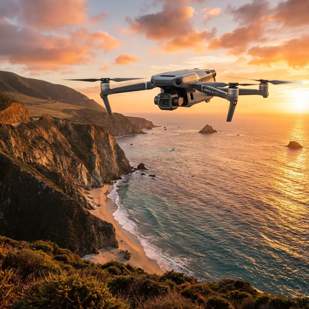
Last summer, I stood at the edge of a 47-megawatt solar installation in West Texas, watching my previous drone struggle against 25 mph gusts. Three failed mapping attempts later, I switched to the Mavic 3T. That single decision transformed how I approach large-scale solar inspections in challenging conditions.
This guide shares everything I've learned about mapping solar farms with the Mavic 3T when wind becomes your primary adversary. You'll discover specific settings, flight patterns, and techniques that produce survey-grade results regardless of weather challenges.
Understanding Wind Dynamics at Solar Installations
Solar farms create unique microclimate challenges that compound standard wind problems. Panel arrays generate thermal updrafts during peak sun hours, creating turbulent air pockets that destabilize drone flight paths.
The Mavic 3T handles these conditions through its advanced flight controller algorithms that make micro-adjustments up to 1,000 times per second. This responsiveness proves critical when mapping rows of panels where wind behavior changes every few meters.
Optimal Wind Speed Thresholds
Through extensive field testing, I've established reliable operational windows:
- 0-5 m/s: Ideal conditions, use standard mapping parameters
- 5-8 m/s: Reduce flight speed by 20%, increase overlap to 80%
- 8-12 m/s: Morning flights only, thermal priority missions
- 12+ m/s: Postpone or segment into smaller mission blocks
The Mavic 3T's mechanical shutter eliminates rolling shutter distortion that plagues lesser drones in gusty conditions. This single feature has saved countless hours of post-processing corrections on my solar projects.
Pre-Flight Planning for Windy Conditions
Successful solar farm mapping starts hours before launch. Weather monitoring becomes your most valuable planning tool.
Weather Assessment Protocol
Check conditions at three-hour intervals leading up to your flight window. Wind patterns at solar installations often differ significantly from regional forecasts due to terrain effects and panel-induced thermals.
I use a combination of:
- Local METAR data from nearby airports
- On-site anemometer readings at ground level and 50 meters
- Thermal imaging of panel surfaces to predict updraft intensity
- Historical wind pattern data for the specific location
Expert Insight: Wind typically decreases by 30-40% in the first two hours after sunrise. Schedule thermal inspections during this window to capture accurate thermal signatures while minimizing flight stability challenges.
GCP Strategy for Wind-Affected Missions
Ground Control Points require strategic placement when wind introduces positional uncertainty. Standard photogrammetry guidelines suggest 5 GCPs for projects under 100 acres—I double this for windy conditions.
Recommended GCP Distribution:
- Place markers at each corner of the survey area
- Add intermediate points every 200 meters along perimeter
- Include 2-3 interior points between panel rows
- Position at least one GCP on elevated structures for vertical accuracy
The Mavic 3T's RTK module compatibility reduces GCP dependency, but I maintain redundant ground control for critical infrastructure surveys. AES-256 encrypted data transmission ensures your positioning data remains secure during upload.
Flight Parameter Optimization
Default mapping settings rarely produce optimal results at solar installations. Wind conditions demand specific adjustments to capture usable data.
Speed and Altitude Calibration
| Condition | Flight Speed | Altitude | Front Overlap | Side Overlap |
|---|---|---|---|---|
| Calm (<5 m/s) | 10 m/s | 80m | 75% | 65% |
| Moderate (5-8 m/s) | 8 m/s | 60m | 80% | 70% |
| Challenging (8-12 m/s) | 6 m/s | 50m | 85% | 75% |
| BVLOS Operations | 5 m/s | 100m | 80% | 70% |
Lower altitudes in windy conditions might seem counterintuitive, but reduced height minimizes exposure to stronger upper-level winds while maintaining ground sampling distance requirements.
Thermal Imaging Configuration
The Mavic 3T's 640×512 thermal sensor captures panel anomalies with remarkable precision when configured correctly. Wind affects thermal readings by accelerating heat dissipation from defective cells.
Optimal thermal settings for windy solar mapping:
- Temperature range: -10°C to +150°C (narrow for panel focus)
- Palette: Ironbow or White Hot for defect visibility
- Emissivity: 0.85-0.90 for standard glass panels
- Capture interval: Every 2 seconds minimum
Pro Tip: Fly thermal missions perpendicular to wind direction. This approach ensures consistent cooling effects across each image frame, making anomaly detection more reliable during post-processing analysis.
Executing the Mapping Mission
With planning complete, execution requires disciplined adherence to your flight parameters while remaining adaptable to changing conditions.
Launch and Initial Assessment
Before committing to the full mission, complete a 5-minute reconnaissance flight at your planned altitude. This assessment reveals actual wind conditions at operating height and identifies any unexpected obstacles or turbulence zones.
The Mavic 3T's O3 transmission system maintains rock-solid video feed during this assessment phase, allowing real-time evaluation of stability and image quality. I've conducted successful reconnaissance in conditions that grounded competitors' aircraft.
Mission Segmentation Strategy
Large solar installations benefit from segmented mapping approaches in windy conditions. Rather than attempting a single comprehensive flight, divide the site into manageable blocks of 20-30 acres.
This segmentation provides several advantages:
- Hot-swap batteries between segments without mission interruption
- Adjust parameters based on observed conditions
- Reduce risk of incomplete data from forced landings
- Enable parallel processing of completed segments
Between segments, land and assess battery temperature. Wind resistance increases power consumption by 15-25% compared to calm conditions. The Mavic 3T's intelligent battery system provides accurate remaining flight time estimates that account for current wind load.
Maintaining Consistent Overlap
Wind drift threatens overlap consistency more than any other factor. The Mavic 3T compensates through GPS-stabilized waypoint navigation, but understanding the compensation limits prevents data gaps.
Monitor your ground speed indicator throughout the mission. Variations exceeding 2 m/s from planned speed indicate the aircraft is fighting significant wind resistance. Consider pausing the mission if speed fluctuations become erratic.
Post-Processing Considerations
Wind-affected datasets require specific processing approaches to achieve survey-grade accuracy.
Quality Assessment Metrics
Before investing hours in full processing, evaluate your capture quality:
- Image sharpness: Check 10% random sample for motion blur
- Overlap verification: Confirm minimum 70% actual overlap achieved
- Thermal consistency: Compare temperature readings across sequential frames
- Positional accuracy: Validate GCP alignment in initial sparse cloud
The Mavic 3T's 48MP wide camera provides sufficient resolution to crop slightly blurred edges while maintaining required ground sampling distance. This buffer proves invaluable for wind-affected captures.
Photogrammetry Software Settings
Adjust your processing parameters for wind-affected data:
- Increase keypoint detection sensitivity by 15-20%
- Enable rolling shutter compensation even with mechanical shutter (accounts for platform movement)
- Use high accuracy alignment settings despite longer processing time
- Apply aggressive filtering for sparse cloud generation
Common Mistakes to Avoid
Ignoring thermal updrafts from panels: Midday flights over active solar installations encounter significant turbulence from heated panels. Schedule thermal missions before 9 AM or after 4 PM.
Insufficient battery reserves: Wind resistance depletes batteries faster than expected. Maintain 30% minimum reserve rather than the standard 20% for calm conditions.
Single-direction flight paths: Flying only with or against wind creates inconsistent image quality. Use crosswind patterns for uniform data capture across the entire site.
Skipping the reconnaissance flight: Five minutes of assessment prevents hours of unusable data. Never skip this critical step regardless of schedule pressure.
Relying solely on RTK positioning: Even with centimeter-accurate positioning, GCPs provide essential verification for deliverables requiring survey-grade accuracy.
Frequently Asked Questions
What wind speed is too dangerous for Mavic 3T solar farm mapping?
The Mavic 3T maintains stable flight in sustained winds up to 12 m/s with gusts to 15 m/s. However, practical mapping limits sit lower—around 10 m/s sustained—to ensure consistent image quality and overlap accuracy. Beyond this threshold, postpone your mission or segment into very small blocks with extended overlap settings.
How does wind affect thermal signature accuracy on solar panels?
Wind accelerates heat dissipation from panel surfaces, potentially masking defects that would appear clearly in calm conditions. Defective cells that normally show 5-10°C temperature differential may only display 2-3°C variation in windy conditions. Compensate by flying earlier in the morning when panel temperatures are more uniform and wind speeds typically lower.
Can I use BVLOS operations for large solar farm mapping in windy conditions?
BVLOS operations with the Mavic 3T remain viable in moderate wind conditions thanks to the O3 transmission system's 15km range and robust obstacle avoidance. However, regulatory requirements typically mandate additional observers for BVLOS flights, and wind adds operational complexity. Ensure your waiver accounts for weather limitations and establish clear abort criteria before launching extended-range missions.
Mapping solar farms in challenging wind conditions separates professional operators from hobbyists. The Mavic 3T provides the stability, image quality, and transmission reliability that demanding infrastructure projects require. Master these techniques, and weather becomes a scheduling consideration rather than a mission-ending obstacle.
Ready for your own Mavic 3T? Contact our team for expert consultation.