Mapping a High-Altitude Solar Farm With the Mavic 3T
Mapping a High-Altitude Solar Farm With the Mavic 3T: A Field Case Study
META: Expert case study on using the DJI Mavic 3T for high-altitude solar farm mapping, thermal inspection, EMI mitigation, GCP workflow, and mission planning.
At 3,000 meters above sea level, even routine drone work starts behaving differently. Batteries feel smaller. Winds arrive earlier in the day. RF conditions can shift from clean to messy in a single pass, especially around inverter blocks, transmission hardware, and long rows of energized infrastructure. That is exactly why the Mavic 3T deserves a more practical conversation than the usual “enterprise drone” summary.
This case study is built around a real-world type of assignment: mapping a high-altitude solar farm with the Mavic 3T while collecting both visual and thermal data that can actually support maintenance decisions. Not brochure data. Operational data. The kind that has to line up with ground control points, survive difficult radio conditions, and still make sense when the asset owner is looking for failed strings, heat-stressed components, or recurring anomalies across a wide site.
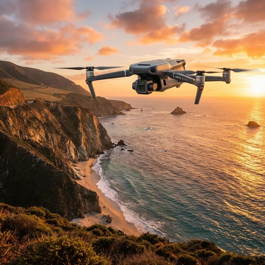
The Mavic 3T is not a dedicated fixed-wing mapping platform, and it does not pretend to be. What makes it valuable in this scenario is the way it compresses multiple field tasks into one airframe: visible imaging, thermal signature analysis, quick situational checks, and secure data handling through AES-256 encrypted transmission and storage workflows common in enterprise operations. That combination matters when your team is working from a mountain access road, weather windows are narrow, and the site owner wants both a map and an explanation.
The assignment: one platform, two outcomes
The brief was straightforward on paper. Produce a current orthomosaic of a high-altitude solar installation, verify panel block alignment against recent civil work, and identify thermal irregularities that might indicate underperforming modules, connector problems, or inverter-area heat buildup. In practice, those are two separate missions with two separate tolerances.
Photogrammetry needs consistency. You want stable overlap, predictable ground speed, repeatable altitude over terrain, and solid GCP placement so the final model is useful beyond a visual overview. Thermal work is less forgiving in a different way. The timing of the flight, panel loading conditions, reflected heat, and angle of capture can all distort interpretation. A warm patch is not automatically a failed panel. It might be reflection, dust loading, a cable issue, or a mismatch condition that only appears under certain irradiance levels.
The Mavic 3T earns its keep here because it lets the crew move from broad mapping to targeted diagnosis without dragging a second aircraft into a harsh environment. On a high-altitude site, that reduction in complexity is more than convenience. It cuts setup time, reduces battery management stress, and limits the number of systems affected by thinner air and fast-changing weather.
Why high altitude changes the workflow
Most solar farm mapping articles gloss over altitude as if it were just a note in the weather log. It is not. At elevation, lift margins are tighter and battery performance can drop off faster than teams expect, particularly during morning launches when ambient temperatures are low. The practical result is simple: every unnecessary hover, reposition, and repeated pass costs more.
That is where hot-swap batteries become part of the operational rhythm, even if the aircraft itself still demands disciplined landing cycles and mission segmentation. The point is not that you can magically keep flying forever. The point is that your field kit and crew process should be organized around rapid turnaround. On this type of site, we broke the work into clean sectors, staged batteries in insulated cases, and treated each sortie as a discrete deliverable rather than one sprawling mission. That keeps data organized and prevents the final 15 percent of the survey from becoming the sloppiest 50 percent of the dataset.
There is also a human factor. High-altitude work punishes crews who rush. GCP checks take longer. Walking panel rows takes longer. Even visual line of sight management becomes more tiring over a full day. The Mavic 3T’s compact footprint matters because it reduces the friction around each launch cycle. That sounds minor until you are six flights in and still need one clean thermal pass before cloud build-up softens the contrast you need.
The radio problem nobody should ignore
The most instructive moment on this assignment had nothing to do with camera settings. It was radio stability.
Large solar sites can create surprisingly awkward RF behavior. You are dealing with long metallic structures, repetitive geometry, active electrical equipment, and, in some cases, nearby telecom or power infrastructure. Add terrain and altitude, and your command link can fluctuate even when the drone is not especially far away.
The Mavic 3T’s O3 transmission system gives the pilot a strong starting point. In open conditions, it is reliable and confidence-inspiring. But “open” is not the same as “clean.” We saw intermittent link quality degradation near one inverter cluster where electromagnetic interference was clearly affecting signal stability. Not enough to force an abort, but enough to trigger caution and require adjustment.
The fix was not exotic. We changed pilot position slightly uphill to reduce low-angle obstruction, then adjusted the controller antenna orientation to better align with the aircraft’s position during the outbound leg. That sounds basic because it is basic, and it works. Too many teams treat antenna position like an afterthought until the link starts misbehaving. At EMI-prone sites, it should be part of the mission plan. The operational significance is obvious: better antenna alignment improves transmission resilience, reduces video breakup, and helps preserve smooth, predictable control inputs exactly where precision matters most.
That matters even more when people start loosely talking about BVLOS ambitions on utility-scale sites. Whether or not a given operation is authorized for BVLOS, the discipline needed for safe long-corridor inspection starts with mastering signal management under present rules. If your crew cannot maintain robust link behavior in a legally compliant workflow, stretching range is the wrong conversation.
Building a map that engineering can trust
For the mapping portion, we treated the Mavic 3T as a precision collection tool, not a casual survey camera. That meant laying out GCPs where they would survive glare, remain visible against the site background, and anchor the model across elevation changes. On a solar farm, poor GCP placement leads to a deceptively polished final product: the map looks sharp, but measurements drift where the terrain rolls or where panel rows create repetitive visual patterns.
This is where the Mavic 3T’s role needs honest framing. It can support useful photogrammetry outputs, but field discipline does the heavy lifting. We tightened overlap, avoided rushing groundspeed in the more complex terrain sections, and ran separate capture logic for thermal interpretation rather than trying to force one flight profile to do both jobs equally well.
That separation paid off. The visual dataset produced a clean site-wide mosaic for progress verification and asset context. Then the thermal flights, run during a stronger irradiance window, highlighted several repeat anomalies along one block edge. The value was not just in seeing warm spots. It was in correlating those spots to exact locations inside the mapped framework, so maintenance teams were not walking the entire array trying to rediscover what the drone had already found.
This is the real utility case for the Mavic 3T in solar work: not merely collecting pictures, but tying thermal signature data to spatially coherent inspection outputs.
Reading thermal data the right way
Thermal imaging attracts overconfidence. A pilot sees a bright area and wants to call it a fault. That is how bad reports get written.
On this site, the useful pattern was not one isolated hot module. It was a sequence of temperature deviations clustered near electrical transition points and a few scattered panel-level anomalies that appeared under consistent loading conditions. The Mavic 3T made it possible to identify those patterns quickly, but interpretation still required context. Was the heat concentrated in a connector zone? Was it mirrored across similar strings? Did it persist from one pass to the next? Did the visual image suggest soiling, damage, or shadow artifacts?
Those questions turn thermal imagery from spectacle into maintenance intelligence.
For high-altitude solar farms especially, thermal timing matters. Morning flights can be great for controlled visual mapping, but thermal contrast may not yet reflect the operating stresses you need to see. By staging the day correctly, the Mavic 3T can first establish site geometry and then return for heat-based diagnostics when the plant is working harder. That sequencing saves time later because the operations team gets one geospatial framework and two layers of meaning.
Data security is not optional on energy sites
Energy infrastructure clients increasingly care about where inspection data goes, who can access it, and how it moves between field teams and analysts. This is one of those topics people skip until procurement raises it.
The Mavic 3T’s support for enterprise-grade protections such as AES-256 matters in this environment because asset imagery is not trivial data. Layouts, thermal exceptions, security perimeters, and maintenance priorities can all be inferred from flight outputs. On a remote site, where crews often sync data through laptops, portable drives, and intermittent network connections, disciplined handling is part of the job. Security is not a feature box to tick. It is part of operational credibility.
If your workflow needs a second opinion before deployment planning, I usually recommend discussing the exact inspection chain with a field-savvy team through a direct project chat. Not because the aircraft is difficult, but because site conditions, compliance requirements, and reporting standards vary more than most operators expect.
Where the Mavic 3T fits — and where it doesn’t
The strongest case for the Mavic 3T in high-altitude solar work is not that it replaces every other platform. It does not. If the site is enormous and the priority is pure corridor-scale mapping efficiency, there are missions where a different aircraft architecture will outperform it. If the requirement is ultra-specialized thermal analytics with heavily standardized reporting at scale, a more tailored workflow may be better.
But that is not a weakness. It is the point. The Mavic 3T is most effective when the assignment demands flexibility without sacrificing field-grade results. It handles rapid deployment well. It is strong for targeted thermography. It is practical for mixed mission sets where the team needs fast transitions between overview, inspection, and documentation. In mountain or plateau environments where logistics are tight, that balance becomes extremely valuable.
From an operator’s perspective, the aircraft rewards methodical crews. Respect battery realities at altitude. Segment missions. Use GCPs properly. Treat antenna orientation as part of EMI mitigation, not as a last-minute correction. Separate photogrammetry logic from thermal logic. Protect the data chain.
Do those things, and the Mavic 3T becomes more than a compact thermal drone. It becomes a reliable problem-solving tool for solar assets in places where simple jobs stop being simple.
The practical takeaway
If I had to distill this case into one operational lesson, it would be this: the Mavic 3T performs best on high-altitude solar farms when you stop asking it to be a generic all-rounder and start using it as a tightly managed inspection platform.
The two details that shaped the outcome here were not glamorous. First, disciplined GCP-backed photogrammetry gave the thermal findings a trustworthy spatial frame. Second, correcting O3 link instability through pilot repositioning and antenna adjustment kept the mission efficient in an EMI-heavy environment. Those are not marketing highlights, yet they are exactly the details that determine whether the final deliverable helps a maintenance team or wastes their day.
That is the difference between flying a drone and running an inspection operation.
Ready for your own Mavic 3T? Contact our team for expert consultation.