Mavic 3T on Solar Farms: A Field Case Study for Extreme
Mavic 3T on Solar Farms: A Field Case Study for Extreme-Temperature Mapping
META: A practical case study on using DJI Mavic 3T for solar farm mapping in extreme temperatures, covering thermal signature capture, photogrammetry, GCP strategy, altitude selection, O3 transmission, AES-256 security, and battery workflow.
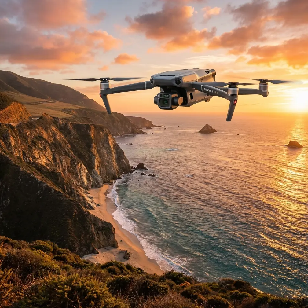
When solar assets stretch across hundreds of rows in punishing heat or brittle winter air, the aircraft matters less than the workflow built around it. That is where the Mavic 3T earns attention. Not because it is a generic “all-in-one” platform, but because it sits in an unusual middle ground: portable enough to redeploy quickly, yet equipped with the thermal and visual payload combination needed for actionable solar farm intelligence.
I’ve seen this matter most in sites where two jobs need to happen at once. The operations team wants thermal anomaly detection on modules, strings, combiner boxes, and inverter surroundings. The asset management side wants map-grade context to document where every issue sits in the field. A drone that forces you to split those missions into separate flights slows the day and complicates correlation. The Mavic 3T changes that equation.
This case study looks at a realistic civilian scenario: mapping a utility-scale solar site in extreme temperatures, with a focus on thermal signature capture, photogrammetry support, and the practical question operators ask first—what flight altitude actually works best?
The mission profile: solar mapping when temperature itself becomes the obstacle
Extreme temperatures alter almost everything about data quality.
In very hot conditions, panel surfaces, metallic supports, gravel service roads, and inverter pads all radiate differently. That can create false contrast if flights are poorly timed or if the thermal scene is interpreted without visual context. In cold conditions, battery management becomes more demanding, and the thermal spread between a healthy panel and a defective hotspot may present differently than crews expect from summer operations.
The Mavic 3T is well suited here because solar diagnostics are rarely just about spotting heat. They are about locating heat precisely, then verifying whether what you found is operationally meaningful. A warm patch on a module may indicate a fault. It may also be a reflection artifact, angle-driven emissivity effect, or transient heating condition. Pairing thermal capture with high-resolution visual context reduces misclassification and saves repeat site visits.
That is why this platform is especially relevant for solar work: it combines a thermal sensor with a mechanical-shutter visual camera and a tele camera in one airframe. For a solar operator, that means one sortie can support anomaly screening, site documentation, and targeted confirmation.
Why the Mavic 3T fits this use case better than a “mapping-only” setup
A lot of drone programs in solar start with a mapping mentality and only later discover that orthomosaics alone are not enough. They show position well. They do not explain heat behavior.
The Mavic 3T’s thermal payload gives teams a direct look at thermal signature distribution across rows and electrical assets. That is the obvious part. The less obvious part is how useful the visual side becomes when conditions are harsh. The wide camera’s 48 MP resolution gives enough ground detail to build strong site context, and the mechanical shutter helps reduce motion blur during structured collection runs. That matters when you are trying to overlay thermal findings with a clean visual base map rather than just flying ad hoc inspection passes.
For solar farm managers, operational significance comes down to reducing ambiguity. If the thermal image suggests a recurring hotspot pattern at one section of an array, the visual map helps tie that finding to exact row layout, access roads, drainage conditions, nearby obstructions, and maintenance history. It turns “there is an issue somewhere in the south block” into “this module cluster in row segment C-14 requires inspection.”
The altitude question: the practical sweet spot for solar mapping
Let’s get to the part pilots care about most.
For Mavic 3T solar farm work, a good starting altitude for broad thermal screening is often around 50 to 70 meters AGL. That range tends to balance three competing needs:
- Thermal clarity at the module level
- Enough coverage per pass to keep the mission efficient
- Stable overlap for downstream photogrammetry and documentation
Why not fly much higher? Because thermal anomalies on panels are only useful if they remain distinguishable enough to classify. As altitude increases, each module occupies fewer pixels, and small but meaningful hotspots can blend into surrounding surfaces.
Why not fly much lower? Because at utility-scale sites, excessive fragmentation destroys throughput. You spend more time turning, more battery on transit, and more time processing numerous flight lines. Lower altitudes can be valuable for follow-up diagnosis, but not always for first-pass mapping over a large farm.
In my own workflow recommendations for extreme-temperature solar sites, I usually separate the mission into two layers:
- Primary screening pass: 60 meters AGL as a baseline
- Targeted diagnostic pass: 25 to 40 meters AGL over flagged zones
That first altitude is high enough to move through acreage efficiently while preserving useful thermal pattern recognition. The second tightens the lens on suspect rows, connectors, edge modules, or inverter-adjacent areas where detail matters more than speed.
This is where the Mavic 3T’s hybrid role becomes practical. You do not need to bring in a second aircraft just because the mission shifts from broad mapping to focused thermal confirmation.
Extreme heat: what changes in the field
Heat is not just a comfort issue for the pilot. It changes collection strategy.
On hot solar sites, especially where irradiance is intense, thermal contrast can either become more visible or more misleading depending on angle, timing, and material surfaces. Midday flights can produce strong thermal signatures, but they also increase the chance of broad background heating that masks subtle defects or creates interpretation noise around metal frames and mounting hardware.
With the Mavic 3T, I prefer to structure flights so thermal data is captured when the site is under stable load but before ambient heating flattens too much of the scene. Exact timing varies by region and season, but the principle remains the same: collect when defects stand out from healthy modules without turning every surface into a thermal distraction.
Battery handling also becomes a real operational variable. Solar farms are expansive, so battery cadence dictates whether the crew spends the day collecting data or waiting on logistics. This is where hot-swap batteries become strategically useful in practice, even if the phrase is often thrown around too loosely. In field terms, it means planning your power rotation so the aircraft is never grounded longer than necessary between blocks. On a large site, minutes matter. The Mavic 3T’s deployment speed helps teams maintain continuity between sections before sunlight conditions shift.
Cold-weather mapping: the hidden discipline
Cold weather introduces a different kind of friction. Flights may feel smoother because the aircraft and environment are not battling radiant heat, but battery performance becomes less forgiving. Mission plans that look comfortable on paper can tighten quickly in the air.
For winter solar inspections, the Mavic 3T’s compact form is an advantage because crews can keep batteries conditioned more easily than they could with larger enterprise platforms requiring bulkier support. In practical terms, that supports more reliable sortie timing, especially on sites where launch points shift repeatedly.
Thermally, cold conditions can actually sharpen certain fault signatures because healthy panels and defective cells may separate more clearly under load. But interpretation still needs discipline. Not every warm region is a defect, and not every cool region is benign. Snow residue, frost history, debris patterns, and shading all leave signatures that can confuse rushed analysis.
This is why I never treat thermal capture as a stand-alone answer. It should be paired with visual documentation and site geometry.
Photogrammetry and GCP strategy: where precision enters the picture
The Mavic 3T is not just an inspection aircraft. In a solar environment, it can support photogrammetry workflows when the team needs positional context around anomalies, drainage, perimeter access, vegetation encroachment, or expansion planning.
For that to work at a professional level, GCPs still matter.
Yes, RTK-equipped workflows often reduce dependence on heavy ground control. But on complex solar sites, especially where deliverables may feed engineering review, contractor coordination, or warranty documentation, a modest GCP framework improves confidence. Even a limited set of well-distributed points across the farm can tighten geospatial reliability and help align thermal findings with exact asset positions.
Operationally, this matters because field maintenance is expensive when directions are vague. A technician should not have to interpret a rough screenshot and wander through thousands of panels. If your map output ties anomalies to a reliable geospatial framework, remediation becomes faster and safer.
The Mavic 3T’s visual mapping support is especially useful when clients want one data package that shows:
- where the issue is,
- what the issue looks like thermally,
- and how that issue sits within the broader site layout.
That combination turns drone output into a maintenance tool rather than a stack of images.
O3 transmission and real-world solar sites
Large solar farms can challenge link stability in subtle ways. It is not always about sheer distance. Long rows, reflective surfaces, terrain undulation, and scattered electrical infrastructure create an environment where situational awareness matters.
The Mavic 3T’s O3 transmission system is operationally significant because stable live feed quality supports better decision-making during the mission itself, not just after download. If a pilot sees inconsistent thermal behavior in one row group, they can adjust before leaving the area. They can verify angle, revisit the pass, or hand over a precise follow-up task to the visual payload.
That matters even more for teams building toward BVLOS readiness under approved civilian frameworks. Even if the current mission is flown within visual line of sight, disciplined link management, route planning, and telemetry awareness are part of scaling operations responsibly. The aircraft’s transmission performance supports that progression, especially on sites where maintaining clean situational control across broad acreage is non-negotiable.
AES-256: overlooked, but relevant
Solar operators tend to focus on image quality and forget data security until procurement asks hard questions.
The Mavic 3T’s AES-256 data security support is not a marketing footnote in enterprise solar work. It matters because inspection outputs can reveal infrastructure layout, equipment condition, maintenance patterns, and asset performance indicators. For utility operators, EPC firms, and O&M contractors, that information is commercially sensitive.
In operational terms, strong encryption helps organizations fit drone workflows into internal IT and governance requirements without treating aerial data as an unmanaged exception. That can be the difference between a pilot-friendly test program and a scalable company-wide workflow.
A field workflow that works
If I were structuring a Mavic 3T mission for a solar farm under extreme conditions, I would run it like this:
Phase 1: site segmentation Break the farm into manageable blocks tied to battery cycles and sun angle windows.
Phase 2: GCP placement Deploy a practical GCP pattern if the final output requires stronger geospatial confidence for engineering or maintenance teams.
Phase 3: broad thermal screening Fly around 60 meters AGL for efficient detection of panel groups, row irregularities, inverter-area heating anomalies, and recurring thermal outliers.
Phase 4: visual mapping pass Use the wide camera to capture structured imagery for photogrammetric context and asset localization.
Phase 5: low-altitude verification Drop to 25 to 40 meters over suspect sections to improve defect interpretation.
Phase 6: maintenance-ready reporting Package thermal findings with map coordinates, visual references, and row-level site context.
That sequence is what makes the Mavic 3T useful in the real world. It is not just capturing data. It is organizing evidence.
If you are designing a solar-farm workflow and want to compare altitude plans, sensor settings, or battery rotation logic for harsh climates, you can message a field specialist directly.
Where the Mavic 3T stands out on solar work
The Mavic 3T is not the answer to every high-accuracy surveying brief. If the sole mission is dense, engineering-grade topographic mapping across very large acreage, there are specialized platforms better suited to pure survey production. But solar farm operations are rarely that narrow.
They need thermal awareness. They need visual context. They need portability. They need quick redeployment between sections. They need secure data handling. They need enough transmission confidence to work broad commercial sites without adding unnecessary complexity.
That is why this aircraft remains relevant. It matches the actual shape of the job.
On extreme-temperature solar projects, the winning move is not flying the most expensive platform or the most complicated stack. It is flying the one that lets your crew detect thermal issues, place them accurately, verify them visually, and keep moving before conditions change. For many teams, the Mavic 3T hits that mark.
The key insight is simple: for broad solar screening, start near 60 meters AGL, then descend for diagnosis. Use thermal data to find the story, photogrammetry to place the story, and disciplined battery and security procedures to make the whole operation repeatable.
Ready for your own Mavic 3T? Contact our team for expert consultation.