Mavic 3T Vineyard Mapping in Complex Terrain
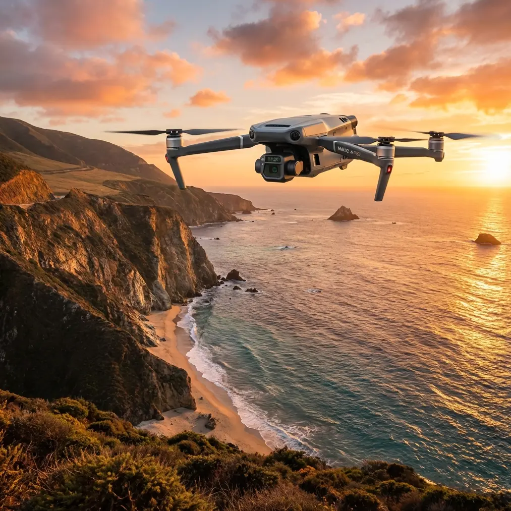
Mavic 3T Vineyard Mapping in Complex Terrain: A Field Method That Reduces Rework
META: Practical Mavic 3T mapping workflow for vineyards in steep, irregular terrain, with pre-flight cleaning, thermal checks, GCP strategy, transmission planning, and support-readiness tips.
Vineyard mapping sounds straightforward until the rows start folding over ridgelines, drainage cuts, terraces, and mixed canopy density. That is where a neat mission plan on a screen can fall apart in the field.
For operators using the Mavic 3T, the real challenge is not simply getting images. It is getting repeatable, decision-grade data without creating avoidable gaps, thermal misreads, or return visits. In steep wine-growing regions, every battery cycle, every takeoff point, and every transmission decision matters. I’ll frame this the way I teach it in field workshops: as a practical operating method, not a brochure summary.
I’m Dr. Lisa Wang, and if your objective is to map vineyards in complex terrain with the Mavic 3T, this is the sequence I would use.
Start with the step many crews skip: clean before you calibrate
The most underrated safety and data-quality step is a pre-flight cleaning pass.
Not a casual wipe. A deliberate one.
Before powering up, inspect and clean the visual sensors, thermal window, wide camera glass, and downward sensing surfaces. In vineyard environments, pollen, dust, spray residue, and fine soil can build up quickly, especially after vehicle transport on unpaved roads. If the aircraft has flown near foliar spraying operations in prior sessions, residues can leave a film that is subtle to the eye but damaging to image clarity and thermal interpretation.
Why this matters operationally:
- Obstacle sensing performance depends on clean optical surfaces.
- Thermal signature interpretation depends on a clean thermal lens window.
- Photogrammetry depends on consistent, sharp imagery across the mission.
The Mavic 3T is often used as a hybrid platform: one flight may support a visual orthomosaic, another may be intended to flag irrigation anomalies through thermal signature patterns. A dirty lens can sabotage both, but the thermal side is where people tend to make costly assumptions. A false hot patch caused by contamination or glare can send a vineyard manager chasing a problem that is not there.
My field habit is simple: microfiber, approved lens-safe cleaner, then a final check in angled light before power-on. Do this before compass checks, before RTK/GNSS setup, before route loading. It is a small routine that protects both safety features and data integrity.
Build the mission around terrain, not around vineyard boundaries
Most first-time operators draw the parcel boundary and let the software do the rest. In flat farmland, you can get away with that. In hillside vineyards, that approach creates inconsistent ground sampling, poor overlap at elevation breaks, and unpredictable link performance.
The better approach is to segment the site according to terrain behavior:
- Ridge sections
- Slope faces
- Terrace bands
- Drainage channels or gullies
- Edge blocks near trees, poles, or utility crossings
Each segment gets its own flight logic. The Mavic 3T is compact enough to reposition quickly, which is an advantage in vineyards where one launch point rarely serves the whole block well. Shorter, terrain-aware missions generally produce cleaner datasets than one oversized mission stitched together through compromise.
This is also where O3 transmission planning becomes practical rather than theoretical. In complex terrain, line-of-sight is fragile. A ridge shoulder can degrade your downlink long before the aircraft is truly distant. That means your launch site should be selected for radio geometry, not just convenience. I often prefer a slightly longer walk to a takeoff spot with better elevation and cleaner line-of-sight over the central rows.
If you are planning a multi-block project and want a second pair of eyes on link strategy in difficult topography, I usually suggest sending the mission sketch through this direct field support channel before deployment.
Use thermal as a diagnostic layer, not as a substitute for mapping discipline
The Mavic 3T’s thermal capability is one reason it is attractive for vineyard operations. But thermal imagery should not tempt you into looser planning.
A thermal flight over vines can reveal water stress patterns, blocked irrigation zones, soil moisture contrasts, drainage issues, or unusual plant vigor distribution. Yet thermal data is highly sensitive to timing, emissivity assumptions, weather conditions, and canopy geometry. On steep vineyards, row orientation and sun angle complicate interpretation even more.
So the right question is not “Can the Mavic 3T see heat differences?” It can. The better question is “Under what conditions will those differences actually mean something agronomically?”
A workable field method is:
- Run your primary visual photogrammetry mission first.
- Capture thermal on a separate pass designed for interpretation, not stitched convenience.
- Keep notes on slope aspect, recent irrigation, cloud transitions, and wind shifts.
That separation matters. When crews try to force one flight profile to do everything, they often end up with mediocre orthomosaics and weak thermal comparability.
GCPs still matter in difficult vineyard sites
Even with strong onboard positioning, vineyards in complex terrain benefit from disciplined GCP placement. Ground control points are not old-fashioned. They are insurance against terrain-induced inconsistency and an anchor for repeat surveys over time.
In terraced or sloped vineyards, a few mistakes happen often:
- Too many GCPs placed only on accessible flat areas
- No control near elevation transitions
- Markers placed where shadows or canopy edges obscure them
- Assuming one end of the block represents the whole site
A better layout distributes GCPs across elevation bands and across the full lateral spread of the parcel. You want control near top, mid-slope, and lower sections, with visibility clear enough for reliable identification in imagery. If the vineyard includes narrow terraces, prioritize control points where geometric distortion is most likely to accumulate.
Operational significance: if your end user is comparing drainage behavior, canopy vigor, or row-to-row changes over time, positional consistency matters more than many operators think. A visually attractive map is not enough if alignment drifts from survey to survey.
Plan for battery rhythm, not just battery duration
The Mavic 3T is efficient, but battery management in vineyards is rarely about maximum published endurance. It is about mission rhythm.
Complex terrain drives more hovering, more repositioning, and more cautious route execution. Wind can also behave differently on opposing slope faces. If you plan every sortie as if conditions are uniform, your return margins shrink faster than expected.
This is where the hot-swap battery mindset helps even when the aircraft itself is not literally being turned around like a large industrial platform. The idea is operational continuity: batteries staged, labeled by cycle health, warmed or cooled appropriately, and rotated in a sequence that keeps the field team moving without rushing pre-flight checks.
I strongly recommend logging battery use by terrain segment rather than by broad site name. Over time, you learn that the north-facing steep block in afternoon wind consistently consumes more than the terrace section near the access road. That turns battery management from guesswork into planning.
Treat transmission security and data handling as part of the workflow
Many vineyard operators focus on image quality and overlook data protection. That is short-sighted, especially when mapping high-value agricultural assets, proprietary irrigation layouts, trial plots, or disease-monitoring programs.
AES-256 encryption and secure handling practices matter here. Not because they are buzzwords, but because agronomic data can carry real commercial sensitivity. A mature workflow should define:
- Where flight logs are stored
- How imagery is transferred from field device to processing environment
- Who has access to thermal datasets
- How client block boundaries and annotation layers are shared
The Mavic 3T fits well into this kind of workflow because it can support fast collection without forcing a casual approach to data custody. In commercial agriculture, clean data management is part of professionalism.
Borrow one lesson from crewed aviation: support readiness beats heroic improvisation
One of the most useful ideas buried in traditional aircraft support literature is that successful operations are not defined only by the machine. They depend on spare parts planning, packaging, delivery timing, technical publications, and user support across the whole service life.
That sounds far removed from a vineyard drone mission. It isn’t.
A classic aircraft support framework breaks these needs into things like initial spare provisioning, parts storage, packaging, shipment, objection handling, delivery timelines, and field technical service. Even from the fragmentary source material, the structure is clear: support is not an afterthought. It is designed.
This has a direct translation to Mavic 3T field work.
For a vineyard mapping team, “product support” becomes:
- spare propellers on hand before deployment
- protected transport cases that keep optics clean
- documented checklists instead of verbal memory
- clear packaging and handling of batteries and chargers
- a process for replacing worn consumables before failure in the field
- technician training for firmware, calibration, and data export
That matters because difficult terrain punishes weak preparation. If a prop is nicked, if a lens cloth is missing, if a charger was packed carelessly, the cost is not abstract. It is a lost weather window, a broken repeatability chain, and a dataset that no longer matches the previous survey.
In the source material, one striking thread is how much attention aviation gives to support functions like spare parts warehousing, packaging, shipping, and user assistance. That mindset is valuable for Mavic 3T operators. The aircraft is only as reliable as the system wrapped around it.
Weather and fuel lessons still apply, even though the Mavic 3T is electric
At first glance, a handbook section on aviation fuel properties seems unrelated to an electric UAV. Look closer, and there is a useful operational lesson.
The fuel reference includes tightly controlled thresholds such as a smoke point not less than 20 mm for some fuel grades, copper strip corrosion limits around 1b, pressure-drop limits not greater than 25 mmHg in thermal stability testing, and preheater tube deposit ratings below 3. These numbers are not trivia. They reflect an engineering culture built around contamination control, thermal stability, and predictable performance.
That culture is exactly what good Mavic 3T field teams should borrow.
You are not checking jet fuel before a vineyard mission. But you are dealing with the electric-era equivalents:
- battery health and storage condition
- connector cleanliness
- cooling behavior during repeated flights
- contamination on sensor surfaces
- consistency of environmental conditions across capture sessions
The number itself matters less than the discipline behind it. Aviation systems perform reliably because operators respect thresholds, contamination limits, and inspection routines. The Mavic 3T rewards the same mindset.
A simple flight sequence that works well in vineyards
If I had to reduce this to one practical sequence for a complex site, it would look like this:
1. Site walk and launch-point selection
Check row direction, elevation breaks, wind exposure, and line-of-sight. Do not default to the nearest road edge.
2. Pre-flight cleaning
Clean the thermal window, visual optics, and sensing surfaces. Confirm there is no spray residue or dust haze.
3. Control setup
Place GCPs across elevation zones, not only in the easiest accessible areas.
4. Segment the mission
Split ridges, terraces, and gullies into separate flights if needed.
5. Run the visual mapping pass
Prioritize overlap consistency and terrain-aware altitude planning for photogrammetry.
6. Run the thermal pass separately
Capture thermal signature data under conditions suited to interpretation, and annotate weather context.
7. Review before leaving the site
Check for soft image sets, missing rows, shadow-heavy control points, and transmission-related anomalies.
8. Post-flight data hygiene
Export, back up, label by block and time, and preserve chain-of-custody if client confidentiality matters.
What separates good Mavic 3T vineyard maps from expensive rework
Usually, it is not pilot stick skill.
It is preparation quality.
The teams that get dependable results from the Mavic 3T in vineyards are the ones that treat it as a professional survey instrument with a support ecosystem around it. They clean sensors before flight. They place GCPs where terrain actually changes. They respect line-of-sight limits in valleys and behind ridges. They separate thermal interpretation from visual mapping objectives. They organize batteries, spares, packaging, and field documentation like an aviation team, not like hobbyists with a task list.
That is how you reduce rework.
And in vineyards, reducing rework matters. Plant stress windows are time-sensitive. Irrigation corrections are seasonal. Harvest decisions move quickly. A missed block or a questionable thermal layer is not merely an inconvenience. It can erase the value of the survey.
The Mavic 3T is a strong platform for this work, especially when the terrain is difficult and the client needs both visual structure and thermal context. But the aircraft alone does not create useful outputs. The method does.
Ready for your own Mavic 3T? Contact our team for expert consultation.