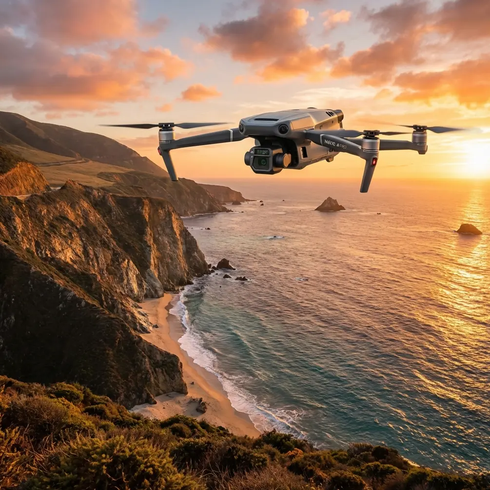
Mavic 3T in Urban Vineyards: A Practical Mapping Case Study
Mavic 3T in Urban Vineyards: A Practical Mapping Case Study With Altitude, Thermal, and Aerodynamic Lessons
META: Expert case study on using the Mavic 3T for mapping urban vineyards, with practical flight altitude guidance, thermal workflow insight, GCP strategy, and why diffuser-loss aerodynamics still matter.
Urban vineyard mapping looks simple until you actually fly it.
Rows are tight. Buildings distort wind. Heat lips off concrete, walls, and service roads long after sunrise. Add the Mavic 3T into that environment and the real question stops being “Can it map this site?” and becomes “How do you get reliable data without letting the city contaminate the vineyard picture?”
I’ve been asked this a few times in the context of the Mavic 3T, especially by operators trying to combine thermal signature review with photogrammetry-grade situational mapping. The trap is assuming a vineyard is a vineyard. An urban vineyard isn’t. It behaves like an agricultural site wrapped inside a low-rise turbulence machine.
This case study walks through how I’d approach that mission, what altitude tends to work best, and why two seemingly unrelated aerospace references—one about external aerodynamic shape and another about diffuser loss behavior—actually help explain better drone operations in this setting.
The scenario: mapping vines surrounded by city structures
Let’s define the mission clearly.
The site is a vineyard embedded in an urban fringe or dense peri-urban block. You want to use the Mavic 3T to document row layout, identify irrigation anomalies or heat stress signatures, and create a repeatable visual baseline for future comparison. You may also need to do this near roads, walls, sheds, small processing buildings, parked vehicles, or reflective roofing.
The Mavic 3T is a sensible aircraft for this kind of work because it lets one crew collect thermal observations and visible-spectrum imagery in the same sortie planning framework. That matters when vineyard staff want fast answers, not a week-long data handoff cycle.
But the aircraft alone doesn’t solve the core problem. Urban surroundings create airflow disruption and thermal noise. Those distortions influence image quality, flight stability, and the trustworthiness of what you interpret.
The altitude question: where the Mavic 3T usually performs best
If you’re mapping vineyards in an urban setting, my default advice is not to start ultra-low.
A lot of pilots instinctively drop down to 20 or 30 meters because they want “more detail.” In practice, that often makes the data worse. At that height, the aircraft sits deeper inside the messy boundary layer shaped by walls, road cut-throughs, trellises, and uneven heating from built surfaces. You get more micro-corrections, more inconsistent overlap, and more thermal contamination from adjacent infrastructure.
For this scenario, a practical starting band is often 50 to 70 meters AGL, then refine from there based on row spacing, nearby structures, and the output you actually need. If your primary objective is vineyard condition screening rather than inspection of individual leaves or hardware, that altitude window usually gives a better balance of row separation, coverage efficiency, and flight smoothness.
Why that band?
Because it tends to lift the aircraft above the worst low-level turbulence without pushing resolution so far down that the map stops being useful. You also reduce the angular exaggeration caused by flying too close to rows and edge obstacles.
If the vineyard is hemmed in by taller structures, I’ll often bias toward the upper end of that range. If it’s a more open urban fringe block with modest obstacles and the operator needs finer vine-row analysis, I may work closer to the lower end.
The key is consistency. If your baseline survey is flown at 60 meters, the next one should be close to that too. Trend analysis falls apart when every mission uses a different geometry.
Why an aircraft-design reference actually matters to drone mapping
One of the reference materials points to Figure 13-20, describing how different head and body shapes of an external object affect aerodynamic coefficient values, with the horizontal scale running up to 22. Even though that source is from a broader aircraft design context, the operational lesson is directly relevant.
Shape changes drag. Drag changes stability demands. Stability demands change mapping quality.
On a large aircraft, external stores and protrusions alter aerodynamic behavior. On a compact drone mission, the equivalent concern is less about bolting on external stores and more about how the aircraft interacts with disturbed airflow around irregular shapes in the environment—buildings, parapets, tree lines, netting, utility sheds, and even the vineyard’s own row geometry.
Operational significance: if the site presents lots of abrupt shapes and vertical edges, expect airflow to behave differently on each edge of the block. The aircraft may yaw or correct more aggressively on one pass than the next. That shows up later as slight inconsistency in overlap, edge sharpness, and thermal registration. In an urban vineyard, this is one reason I prefer a slightly higher and smoother mapping altitude rather than chasing maximum ground detail too close to obstacles.
In plain English: the map suffers when the drone has to fight the air every second.
The second reference: diffuser loss and why “5 to 10” matters to pilots
The engine intake design reference may seem even further removed, but it contains a surprisingly useful planning principle. It notes that for a conical diffuser, losses are minimized when the expansion angle is roughly 5 to 10 degrees, and that once the angle exceeds around 20 to 25 degrees, losses rise quickly. It also notes that boundary layer thickness can change total pressure loss trends by as much as 3 times.
You are not designing an engine intake for the Mavic 3T. But the logic behind those numbers is gold for flight planning: smooth transitions are efficient, aggressive transitions create instability and loss.
Applied to an urban vineyard mission, this means:
- avoid steep climbs and drops between mapping legs unless you absolutely need them
- avoid abrupt speed changes when entering or exiting constrained edges of the block
- don’t let your route geometry force the aircraft into violent corrections around corners
- treat the urban boundary layer as a real operational factor, not background scenery
The “5 to 10” insight matters because it reinforces a discipline many mapping pilots ignore. Gentle geometry is usually better geometry. When you fly smooth, the aircraft carries a more stable attitude, which supports cleaner photogrammetry and more coherent thermal comparison.
The “3 times” figure on loss variation is just as useful conceptually. Small changes in local airflow conditions can produce outsized effects. In an urban vineyard, that means one pass beside a masonry wall may not behave like the next pass over an open lane, even at the same altitude.
Building the mission profile for Mavic 3T
For this type of site, I break the work into two layers.
1. Baseline visible-light mapping pass
This is your structural map. Use it to establish row geometry, block boundaries, access roads, shadow patterns, adjacent heat-reflective surfaces, and future comparison layers.
For photogrammetry, I’d keep overlap conservative rather than bare minimum, because urban edge clutter makes reconstruction less forgiving. This is also where GCP placement matters. In vineyards near buildings, relying only on onboard positioning can leave subtle distortions around perimeter zones. A few well-distributed control points, especially at corners and near transitions between vine rows and hardscape, can tighten the dataset significantly.
Operational significance: the visible map becomes your reference canvas. Without a reliable geometric base, thermal interpretation can drift into guesswork.
2. Thermal signature pass
The Mavic 3T earns its keep here, but only if you control timing and context.
Urban vineyards collect heat from more than plants. Fences, retaining walls, irrigation piping, parked machinery, metal roofs, and concrete all radiate differently. If you fly too late in the day, the thermal layer can become a city heat map with vines included almost by accident.
I prefer thermal collection in a narrow morning window after enough environmental separation has emerged to show plant stress patterns, but before surrounding materials fully dominate the scene. The exact local timing varies, but the principle doesn’t.
This is where altitude choice becomes critical again. Too low, and nearby structures flood the frame with irrelevant thermal contrast. Too high, and subtle canopy variation can flatten. In many urban vineyard cases, that same 50 to 70 meter range remains a strong starting point, then adjusted after a quick test strip.
Transmission and data security in the city
Urban work has another pressure point: signal environment.
The Mavic 3T’s O3 transmission is valuable here because dense RF environments are not theoretical in city-edge agriculture. You may be flying near homes, office buildings, road networks, and utility infrastructure. Strong transmission resilience helps the operator maintain a clean control and monitoring link while staying focused on data quality rather than link anxiety.
On the data side, AES-256 matters more than many operators admit. Vineyard mapping can include commercially sensitive information: crop health, irrigation layout, access patterns, and operational scheduling. If your mission is tied to management planning or landlord reporting, secure handling of imagery and logs becomes part of professional practice, not a technical footnote.
That’s one reason I advise operators to brief clients on the full chain: capture, transfer, storage, processing, and report delivery.
Battery strategy in a fragmented site
Urban vineyard jobs are often short in area but awkward in execution. You may pause for road traffic awareness, temporary pedestrian movement, or changing light on one boundary. That’s why hot-swap batteries are more useful than their spec-sheet presence suggests.
The benefit isn’t just faster turnaround. It’s preserving mission rhythm.
A fragmented stop-start operation invites inconsistency. If battery changes are clumsy, crews rush relaunches, skip calibration checks, and compromise repeatability. A clean battery workflow supports tighter mission continuity, especially when you’re trying to keep thermal conditions as constant as possible during capture.
BVLOS talk—only where permitted and useful
Some vineyard operators ask whether BVLOS changes the equation. In urban-adjacent agriculture, the answer is usually “only in very specific regulatory and operational frameworks.” For most practical Mavic 3T vineyard jobs, the limiting factor is not raw aircraft capability. It’s obstacle density, airspace complexity, and the need for precise visual awareness around structures and people.
So while BVLOS is a strategic topic in larger agricultural logistics and corridor operations, it’s not where I’d focus for an urban vineyard mapping workflow. The smarter play is tighter route design, repeatable altitude, and disciplined capture timing.
A real-world workflow I’d recommend
Here’s how I’d execute the mission.
Start with a perimeter walk or remote desktop planning review. Mark the hard thermal contaminants first: concrete yards, rooftops, parked vehicles, HVAC exhaust points, and reflective façades. Those are interpretation hazards.
Then set a baseline mission at 60 meters AGL if obstacles allow. Fly one short validation segment, ideally crossing both an interior vine zone and an edge zone near built structures. Review overlap consistency, wind correction behavior, and thermal separation. If rows look too compressed for the intended analysis, drop toward 50 meters. If turbulence or edge interference is obvious, climb toward 70.
Place GCPs with edge integrity in mind, not just center coverage. Urban distortions tend to show up at transitions.
Run visible and thermal missions as close together as practical while maintaining the right lighting window. Keep aircraft motion smooth. Think like the diffuser reference suggests: low-loss geometry. Gentle turns. Predictable speed. No unnecessary vertical oscillation.
And if you need a second opinion on mission planning for a mixed urban-agriculture site, send the block layout through this WhatsApp planning channel before flying. A ten-minute review can save a wasted sortie.
What makes Mavic 3T useful here—and what doesn’t
The Mavic 3T is useful in urban vineyard mapping because it can bridge operational reconnaissance and actionable environmental observation in one fieldable platform. It is not a magic box that erases bad planning.
Its value appears when the operator understands three things:
- urban surroundings alter airflow and heat behavior
- thermal imagery needs context, not just contrast
- repeatability beats brute detail in long-term vineyard monitoring
That last point deserves emphasis. The best vineyard map is not the one with the most dramatic screenshot. It’s the one you can reproduce next month under controlled parameters and trust in a management decision.
Final take
If I had to reduce this case study to one operational sentence, it would be this: for Mavic 3T mapping in urban vineyards, start around 50 to 70 meters AGL, prioritize smooth flight geometry, and design the mission around thermal contamination control rather than maximum visual sharpness.
The aerospace references support that logic in a way many drone operators overlook. The external-shape data reminds us that geometry and flow interaction matter. The diffuser-loss data gives us a numeric clue—5 to 10 is a healthy range for smooth transition logic, while bigger abrupt changes create penalty. And the note that conditions can shift losses by 3 times is a strong warning against assuming every pass in an urban microclimate behaves the same.
That is exactly why disciplined Mavic 3T operation wins in this kind of site. Not because the vineyard is difficult in the obvious way. Because it is difficult in the subtle way.
Ready for your own Mavic 3T? Contact our team for expert consultation.