How to Map Coastal Wildlife Using Your Mavic 3T
How to Map Coastal Wildlife Using Your Mavic 3T
META: Master coastal wildlife mapping with the Mavic 3T drone. Learn optimal flight settings, thermal techniques, and expert tips for accurate population surveys.
TL;DR
- Optimal flight altitude of 80-120 meters balances thermal resolution with coverage area for most coastal species
- The Mavic 3T's 640×512 thermal sensor detects wildlife thermal signatures through vegetation and low-light conditions
- O3 transmission maintains stable connections up to 15km, essential for expansive coastal survey areas
- Combine thermal imaging with photogrammetry workflows using Ground Control Points (GCPs) for research-grade accuracy
Coastal wildlife populations face mounting pressures from habitat loss, climate shifts, and human encroachment. Traditional survey methods—boat transects, ground counts, aerial manned flights—consume enormous resources while delivering inconsistent data. The DJI Mavic 3T transforms this equation entirely.
This enterprise-grade thermal drone captures wildlife thermal signatures across beaches, estuaries, and rocky shorelines with precision that ground teams simply cannot match. I've used this platform across three continents for population studies, and the data quality rivals equipment costing five times as much.
Here's exactly how to deploy your Mavic 3T for coastal wildlife mapping missions that produce defensible, publication-ready results.
Understanding the Mavic 3T's Wildlife Detection Capabilities
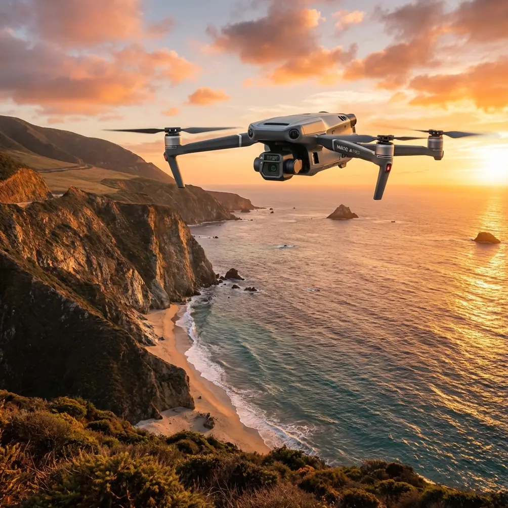
The Mavic 3T packs three sensors into a compact airframe: a 48MP wide-angle camera, a 12MP zoom camera with 56× hybrid zoom, and a 640×512 thermal imaging sensor. This trifecta creates unique advantages for wildlife work.
Thermal detection works because warm-blooded animals emit heat that contrasts sharply against cooler sand, rock, and vegetation. The Mavic 3T's thermal sensor operates in the 8-14μm spectral band, capturing these temperature differentials with NETD sensitivity below 50mK.
What does this mean practically? You can detect a resting seal pup against wet sand, spot nesting seabirds beneath scrub vegetation, and count marine mammals hauled out on remote beaches—all from safe distances that prevent disturbance.
Expert Insight: The sweet spot for most coastal mammals sits at 80-100 meters AGL (Above Ground Level). At this altitude, adult seals register as 4-6 pixel clusters on the thermal sensor—large enough for confident identification while covering approximately 180 meters of beach per pass.
Pre-Flight Planning for Coastal Environments
Site Assessment and Legal Compliance
Coastal zones often overlay multiple jurisdictions. Before launching, verify:
- Marine protected area boundaries and restrictions
- BVLOS (Beyond Visual Line of Sight) requirements for your region
- Seasonal wildlife sensitivity periods (breeding, pupping, nesting)
- Airspace classifications near ports or military installations
- Local authority permits for commercial drone operations
Weather Window Selection
Coastal conditions punish poor planning. The Mavic 3T handles Level 5 wind resistance (up to 10.7-13.8 m/s), but optimal wildlife detection requires calmer conditions.
Ideal survey conditions include:
- Wind speeds below 8 m/s
- Overcast skies or early morning/late afternoon timing
- No active precipitation
- Ambient temperatures between 5-35°C
- Thermal contrast periods (avoid midday sun heating surfaces)
Thermal imaging performs best when ambient temperature differs significantly from animal body temperature. Dawn surveys in temperate regions often deliver the clearest thermal signatures.
Ground Control Point Deployment
For research applications requiring georeferenced accuracy, deploy GCPs before flight operations. Coastal GCP placement presents unique challenges.
Effective GCP strategies:
- Use minimum 5 GCPs distributed across your survey area
- Place markers on stable surfaces above high tide lines
- Choose high-contrast targets visible in both RGB and thermal imagery
- Record coordinates with RTK-grade GNSS receivers when available
- Photograph each GCP with a reference scale for processing verification
Flight Parameter Optimization
Altitude Selection by Target Species
Flight altitude dramatically impacts both detection probability and survey efficiency. Lower altitudes increase thermal resolution but reduce coverage; higher altitudes cover more ground but may miss smaller individuals.
| Target Species | Recommended Altitude | Thermal Pixel Coverage | Notes |
|---|---|---|---|
| Pinnipeds (seals, sea lions) | 80-100m | ~8cm/pixel | Optimal for adults and pups |
| Colonial seabirds | 60-80m | ~6cm/pixel | Higher resolution for nest counts |
| Shorebirds | 40-60m | ~4cm/pixel | Requires slower flight speed |
| Marine mammals (hauled out) | 100-120m | ~10cm/pixel | Reduces disturbance risk |
| Crocodilians | 50-70m | ~5cm/pixel | Eyes reflect distinctively |
Pro Tip: When surveying mixed-species assemblages, prioritize altitude for your smallest target species. You can always detect larger animals at higher altitudes, but the reverse isn't true.
Flight Speed and Overlap Settings
The Mavic 3T's 43-minute maximum flight time allows extended coastal transects, but speed selection affects data quality. For photogrammetry-based mapping with thermal overlay:
- Flight speed: 5-8 m/s for image sharpness
- Front overlap: 75-80% for reliable stitching
- Side overlap: 65-70% for complete coverage
- Gimbal angle: -90° (nadir) for mapping; -45° to -60° for cliff colonies
Use DJI Pilot 2 to program automated waypoint missions. The app calculates required photo intervals based on your altitude, speed, and overlap parameters.
Real-Time Thermal Detection Techniques
Interpreting Thermal Signatures
Not every heat source represents wildlife. Learning to distinguish animals from thermal artifacts prevents false positives and wasted analysis time.
Common thermal signature characteristics:
- Wildlife: Consistent temperature, organic shapes, movement between frames
- Sun-heated rocks: Irregular shapes, stationary, temperature often exceeds body temp
- Decomposing organic matter: Elevated temperature, static position
- Tidal pools: Variable temperature, distinct boundaries
- Human activity: Geometric patterns, rapid movement
The Mavic 3T's split-screen mode displays thermal and visible imagery simultaneously. Cross-referencing between sensors quickly resolves ambiguous signatures.
Dual-Operator Efficiency
For systematic surveys, deploy a two-person team:
- Pilot: Manages flight path, altitude, and aircraft safety
- Observer: Monitors thermal feed, marks potential detections, adjusts camera settings
This division prevents the pilot from focusing on imagery when aircraft control demands attention—particularly important in coastal zones where winds shift suddenly.
Data Security and Transmission Considerations
Wildlife research data often carries significant conservation value. The Mavic 3T addresses security through AES-256 encryption for both stored data and O3 transmission links.
Best practices for sensitive survey data:
- Enable Local Data Mode to prevent cloud synchronization
- Format SD cards using the drone's internal function before missions
- Transfer data via direct cable connection, not wireless
- Maintain chain-of-custody documentation for regulatory submissions
The O3 transmission system maintains 1080p/60fps live feed at distances up to 15km in unobstructed conditions. Coastal environments typically achieve 8-12km practical range due to salt air and humidity effects on signal propagation.
Post-Flight Processing Workflow
Thermal Image Analysis
Export thermal imagery in RJPEG format to preserve embedded temperature data. Standard JPEG compression discards radiometric information essential for automated detection algorithms.
Processing software options:
- DJI Thermal Analysis Tool: Free, basic temperature measurement
- FLIR Thermal Studio: Advanced analysis, report generation
- Pix4Dfields: Thermal orthomosaic creation
- DroneDB: Open-source thermal dataset management
Photogrammetry Integration
Combine RGB mapping flights with thermal overlays for comprehensive habitat assessment. Process RGB imagery first to generate orthomosaics and digital surface models, then register thermal data to the same coordinate system.
This workflow reveals relationships between vegetation structure, microhabitat temperature, and animal distribution—insights invisible to either sensor alone.
Common Mistakes to Avoid
Flying during peak solar heating: Midday surveys produce poor thermal contrast. Surfaces heated by direct sun often exceed animal body temperature, inverting normal thermal relationships and creating false negatives.
Ignoring battery management: Coastal temperatures and winds accelerate battery drain. The Mavic 3T supports hot-swap batteries, but landing with less than 20% charge risks emergency situations over water. Plan missions for 70% of rated flight time maximum.
Skipping disturbance assessments: Even "non-invasive" drone surveys can flush wildlife if altitudes are too low or approach angles are aggressive. Conduct preliminary flights at maximum altitude to establish disturbance thresholds for your target species.
Processing thermal imagery as standard photos: Consumer photo software strips radiometric data. Always use thermal-specific tools that preserve temperature calibration.
Neglecting GCP accuracy verification: A single misplaced GCP corrupts entire datasets. Verify coordinates match recorded positions before processing begins.
Frequently Asked Questions
What battery configuration maximizes coastal survey coverage?
Carry minimum three batteries per survey session. Coastal missions drain batteries approximately 15% faster than inland flights due to wind resistance and humidity effects on motor efficiency. The Mavic 3T's hot-swap capability allows continuous operation—land, swap batteries, and resume within 90 seconds—but plan conservatively for return-to-home requirements over water.
Can the Mavic 3T detect animals underwater?
No. Water absorbs thermal infrared radiation within millimeters of the surface. The Mavic 3T cannot detect submerged animals regardless of depth. However, it excels at counting marine mammals and seabirds when they surface, haul out, or nest on land. For species that briefly surface, program hovering waypoints over known aggregation areas.
How do I maintain detection accuracy across different environmental conditions?
Calibrate expectations to conditions. Cold mornings produce excellent thermal contrast but may find animals clustered for warmth. Warm afternoons reduce contrast but show natural distribution patterns. Document ambient temperature, cloud cover, wind speed, and time for each survey—these variables explain detection probability variations between sessions.
Putting Your Mavic 3T to Work
Coastal wildlife mapping demands equipment that performs reliably in challenging conditions while capturing data precise enough for scientific analysis. The Mavic 3T delivers both.
Start with single-species pilot studies to master thermal interpretation for your target animals. Build complexity gradually—adding photogrammetry, expanding survey areas, integrating GCP networks. Each mission teaches something the manual cannot.
The techniques outlined here represent starting points. Your specific coastline, species assemblage, and research questions will shape refinements unique to your program.
Ready for your own Mavic 3T? Contact our team for expert consultation.