Mavic 3T Field Report: Practical Mapping Tips for Wildlife
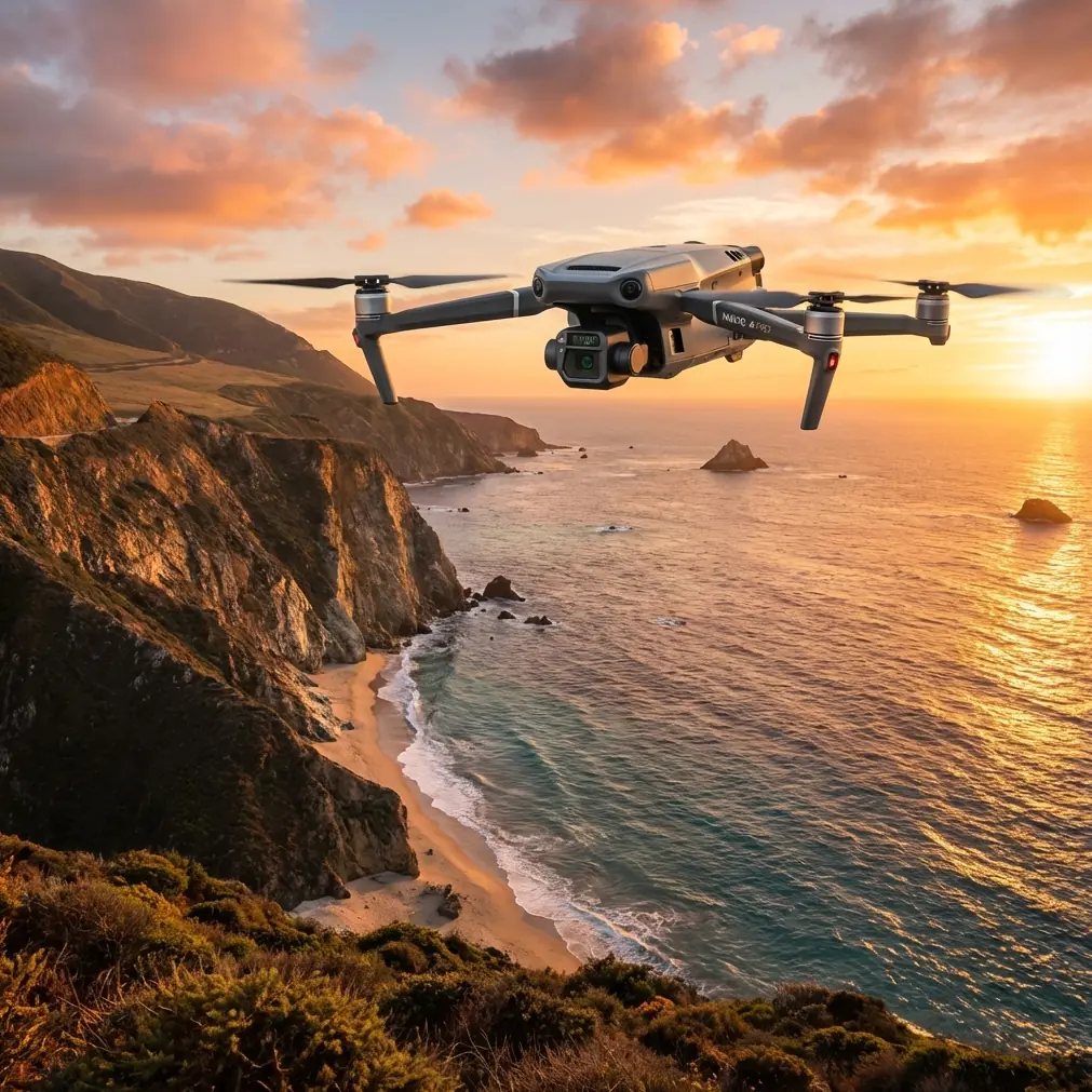
Mavic 3T Field Report: Practical Mapping Tips for Wildlife Work at High Altitude
META: Expert field report on using the DJI Mavic 3T for high-altitude wildlife mapping, covering thermal signature capture, photogrammetry workflow, battery discipline, O3 transmission, GCP strategy, and cold-weather field reliability.
High-altitude wildlife mapping exposes every weakness in a drone workflow. Thin air reduces prop efficiency. Wind arrives fast and leaves slowly. Batteries that looked healthy at takeoff can sag hard halfway through a mission. And the subject itself is rarely cooperative. Animals move, cluster, disperse into shadow, or vanish against rock and scrub just when you need clean data.
That is exactly where the Mavic 3T earns its place.
I have used larger platforms for ecological surveys, and they still have a role, especially when payload flexibility matters. But for field teams that need speed, portability, and repeatable data collection in rough mountain terrain, the Mavic 3T sits in a very useful middle ground. It is compact enough to hike in with minimal support gear, yet capable enough to gather both thermal signature data and visible imagery in one deployment. For wildlife professionals working above the tree line or across broken ridgelines, that combination changes the structure of a survey day.
This is not a brochure-style overview. It is a field report built around what actually matters when you are trying to map wildlife at elevation: seeing animals before the light washes them out, collecting imagery that can still support photogrammetry, maintaining transmission integrity across uneven terrain, and managing batteries with more discipline than you would at lower sites.
Why the Mavic 3T Fits Mountain Wildlife Work
The Mavic 3T is attractive in wildlife mapping because it collapses several tasks into one aircraft. You can scout with thermal, verify with visual imagery, and then continue into a structured grid for mapping. That reduces the number of platform swaps, which matters when your launch point is a cold saddle at altitude and every unpack-repack cycle burns both daylight and body heat.
The thermal payload is the first reason teams reach for it. In mountain ecosystems, visual detection alone is often unreliable. Rock outcrops store heat. Snow edges create glare. Animals bed down in brush pockets that blend into the landscape under a standard camera. A thermal signature can separate a warm-bodied subject from the terrain long before a visible camera gives you confidence. The operational significance is straightforward: thermal helps you detect, count, and localize wildlife during low-contrast periods, especially early morning, late afternoon, or in patchy shadow.
The second reason is workflow continuity. A lot of wildlife projects need more than sightings. They need spatial context. Where were the animals relative to water, slope, vegetation breaks, migration corridors, or disturbance zones? That is where photogrammetry still matters. Even if the Mavic 3T is not the first aircraft many people name for high-precision mapping, it can still contribute useful terrain and habitat context when missions are planned carefully. In wildlife work, a map that is “operationally accurate” often matters more than a lab-perfect model no one had time to collect.
Thermal First, Mapping Second
One mistake I see in mountain wildlife teams is trying to fly the day in the wrong sequence. They launch after sunrise, chase scattered visual sightings, and only later think about thermal coverage. By then, solar loading has already started to flatten temperature contrast.
With the Mavic 3T, I recommend the reverse whenever site access allows it. Start with thermal reconnaissance during the colder part of the morning. Use that pass to identify heat anomalies that are likely to be wildlife rather than terrain artifacts. Once you have established likely clusters or movement lines, shift into a more deliberate visual mapping pattern over the habitat zone rather than the entire landscape.
This is where the dual-role character of the aircraft has real value. You are not just detecting animals. You are using detection to narrow the photogrammetry problem. Instead of wasting battery on a massive polygon, you focus on ecologically relevant corridors, bedding areas, feeding patches, or travel edges. The result is better data density where it counts.
Operationally, that means fewer flights, fewer battery cycles, and a smaller post-processing burden. At altitude, those are not convenience points. They are mission survival points.
A Battery Tip I Learned the Hard Way
Cold-weather battery discipline matters on every drone, but on the Mavic 3T in high mountains, it can decide whether your mission ends with good data or an anxious return over a ravine.
My field rule is simple: never treat battery percentage as the only truth. Watch behavior, not just the number.
At elevation, especially in cold morning air, the pack can show a respectable state of charge at takeoff and still exhibit early voltage sag under climb load or while fighting crosswind on the outbound leg. The practical fix is not complicated, but it requires habits. Keep spare batteries insulated on your body or in a thermal pouch, not exposed in an outer pack pocket. After insertion, let the aircraft idle briefly before committing to a hard ascent. If I see an unusual drop in the first minute, I abort and swap immediately rather than hoping it stabilizes.
The second part of the tip is rotation discipline. In wildlife mapping, crews often get excited after the first thermal detections and rush into “just one more quick pass.” That is how they end up launching a half-cold pack for a full grid. Don’t do that. Use hot-swap batteries in a real rotation plan: one flying, one warming, one cooling after use, one held in reserve. That rhythm sounds excessive until you are three ridges in and the wind comes up.
I also mark batteries not just by number, but by field behavior. Some packs are perfectly serviceable yet show slightly faster sag in cold conditions. Those become short-hop scouting batteries, not full-grid mapping batteries. It is a small operational refinement, and it saves missions.
O3 Transmission in Broken Terrain
Mountain wildlife surveys are rarely flown over a neat, open plain. More often, the aircraft is moving through folds in terrain, across slopes that interrupt line of sight, with rock faces and tree bands interfering with signal geometry. This is where the Mavic 3T’s O3 transmission system becomes more than a spec-sheet talking point.
A stable digital link helps in two practical ways. First, it gives the pilot enough confidence to hold a deliberate survey pattern rather than drifting into conservative, inconsistent track lines every time the terrain gets awkward. Second, it improves crew coordination when one person is piloting and another is interpreting thermal imagery in real time. If the image stream becomes unreliable, the observer starts second-guessing detections and the mission loses tempo.
That said, O3 does not cancel terrain. At altitude, ridgelines still win. My practice is to choose launch points based less on walking convenience and more on radio geometry. If I can climb 10 extra minutes to launch from a shoulder with cleaner exposure into the survey basin, I usually take that trade. Better transmission often translates into straighter lines, less hovering, lower battery draw, and cleaner datasets.
Some teams planning advanced operations also ask about secure data links. The Mavic 3T supports AES-256 encryption, which matters when ecological survey data is sensitive, proprietary, or tied to protected species habitat. The significance here is not abstract cybersecurity theater. It is practical stewardship. Wildlife location data can be sensitive for conservation reasons, and transmission security is part of handling that data responsibly in professional programs.
GCPs: Use Them Where They Matter, Not Everywhere
Ground control points can improve positional confidence, but in high-altitude wildlife projects, they need to be deployed with restraint and purpose. If you turn a wildlife survey into a full control-heavy mapping operation, you can consume half the day on setup before the animals have even used the area you care about.
My recommendation is to apply GCPs selectively. Put them in zones where habitat change or corridor boundaries need stronger spatial confidence, such as meadow edges, water crossings, or known seasonal congregation areas. If your project objective is trend monitoring rather than engineering-grade absolute accuracy, a smaller number of well-placed controls is usually the better compromise.
The Mavic 3T’s role in this workflow is often to bridge detection and habitat context, not to replace dedicated survey platforms in every case. That distinction matters. When teams respect it, they get more useful outputs. A high-altitude wildlife mission succeeds when thermal detections can be spatially interpreted against the landscape with enough confidence to support management decisions. It does not need to become a monument to unnecessary field complexity.
Thermal Signature Interpretation Is a Discipline
Thermal wildlife work in alpine or subalpine terrain can fool inexperienced crews. A thermal signature is not automatically an animal. Sun-touched boulders, sheltered scree, warm runoff channels, and even man-made objects left near trails can all generate false positives.
The Mavic 3T helps because it allows fast switching between thermal and visible context. That matters operationally. A thermal hotspot without confirmation is a clue. A thermal hotspot that aligns with shape, movement, spacing, and habitat logic becomes usable data.
This is especially valuable when animals are partially obscured by vegetation or terrain breaks. I often tell teams to think in layers: thermal for presence, visual for interpretation, mapping for context. The Mavic 3T supports exactly that stack. You are not asking one sensor to do everything. You are using each one to reduce uncertainty in the next step.
BVLOS Planning Without Sloppy Thinking
Many ecological teams talk about BVLOS because survey zones are remote and large. Fair enough. But the phrase can become a substitute for planning rather than a planning requirement. Whether a program is pursuing BVLOS-capable procedures under its local regulatory framework or simply preparing for long-range visual operations, the Mavic 3T should be missionized conservatively in mountain terrain.
What matters most is route design, terrain study, launch geometry, battery reserve discipline, and clear crew roles. High-altitude wildlife missions should be built around known return corridors and conservative turn points, not optimistic maximum-range assumptions. The aircraft may be compact, but compact does not mean casual.
I have found that teams perform better when they build a preflight card specific to mountain ecology work: forecasted wind by slope aspect, thermal collection window, map grid order, battery role assignment, likely animal movement direction, and emergency recovery options. It sounds basic. It is not. These details are what keep a wildlife survey from turning into an improvised search for a descending aircraft in poor light.
The Real Value of the Mavic 3T in Wildlife Programs
The Mavic 3T is not just useful because it has thermal and a visible camera. Its real value is that it compresses field decisions. In one carryable aircraft, a team can detect wildlife, verify targets, document habitat, and build spatial records quickly enough to keep pace with changing mountain conditions.
That compactness matters more than many people admit. In high-altitude work, the best aircraft is often not the one with the biggest payload chart. It is the one that the team can actually deploy at the right place, at the right time, with enough remaining energy to complete a disciplined mission.
For researchers, conservation groups, habitat managers, and environmental consultants, that makes the Mavic 3T unusually practical. It supports a style of fieldwork that is fast without being careless and data-rich without becoming logistically bloated.
If your team is refining a mountain wildlife workflow and wants to compare flight planning methods or battery rotation practices, you can message a field specialist here.
The Mavic 3T works best when treated as a precise field instrument rather than a flying shortcut. Respect the thermal window. Use photogrammetry where it adds habitat meaning. Place GCPs with intent. Trust O3 transmission, but not blindly against terrain. Keep data secure with AES-256 when survey sensitivity warrants it. And above all, manage batteries like they are the mission’s limiting reagent, because at altitude, they usually are.
That is the difference between returning with a folder full of disconnected imagery and coming back with evidence you can actually use.
Ready for your own Mavic 3T? Contact our team for expert consultation.