Mavic 3T Monitoring Tips for Urban Construction Sites
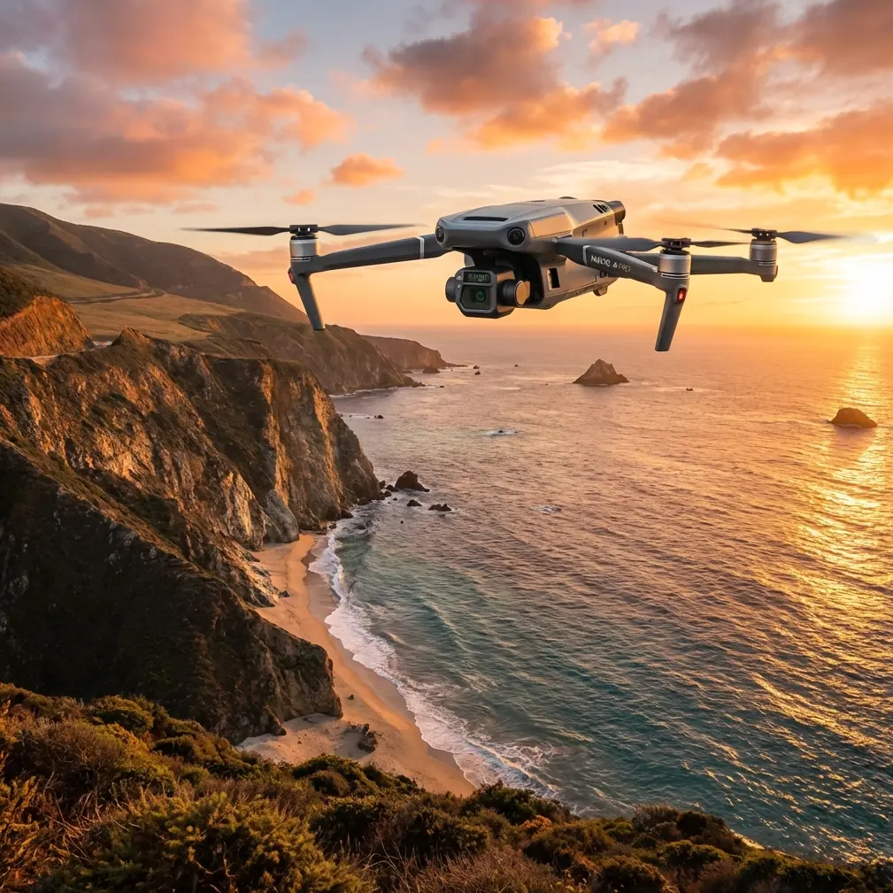
Mavic 3T Monitoring Tips for Urban Construction Sites: What Actually Matters on Busy Ground
META: Expert insights on using the Mavic 3T for urban construction monitoring, with practical guidance on site safety, thermal signature checks, noise awareness, data security, and reliable workflow planning.
A few years ago, I was reviewing drone footage from a city-center construction project where the real problem was not image quality. The camera was fine. The pilot was experienced. The issue was ground complexity.
Trucks were entering through a narrow access lane. Concrete pumps were rotating in tight spaces. Temporary fencing shifted every week. Pedestrians moved along the perimeter. On paper, the aerial mission looked simple: collect progress imagery, inspect roof work, check material staging, and document safety conditions. In reality, the hard part was managing movement on the ground around a crowded urban site without creating another layer of risk.
That is why the Mavic 3T is best understood not just as a compact thermal drone, but as a tool for reducing uncertainty in environments where the ground picture changes fast.
For urban construction monitoring, that distinction matters.
The real challenge on city jobsites is ground motion, not just aerial capture
Most discussions about the Mavic 3T focus on payload capability, thermal signature detection, or transmission reliability. Those are useful talking points, but they miss the operational center of gravity for urban sites: the drone has to fit into an active, constrained, human-filled work environment.
Construction sites in dense urban areas behave a bit like miniature transport systems. Vehicles queue, turn, reverse, stop unexpectedly, and pass through restricted corridors. Workers cross paths with equipment. Delivery timing changes by the hour. A monitoring drone that adds confusion to that environment is not helping the superintendent, the safety lead, or the project owner.
This is where an older principle from manned aircraft design becomes surprisingly relevant. In aircraft ground steering design, safety and reliability are treated as foundational requirements from the beginning, not something patched in later. One reference point from aircraft engineering states that ground steering system safety should be considered at the design stage because it is a key marker of safe movement on the ground. That same mindset applies directly to how you deploy a Mavic 3T on a construction site.
The lesson is simple: your drone workflow should be built around ground safety first, image capture second.
Why the Mavic 3T works well when the site keeps changing
The Mavic 3T earns its place on urban jobsites because it can support multiple monitoring tasks without forcing crews to run separate flights for every question. That alone reduces congestion in the air and decision fatigue on the ground.
A single platform can help a project team:
- document progress for stakeholders
- generate visual records for schedule tracking
- inspect roof areas, facades, and temporary structures
- scan for thermal anomalies in electrical installations or temporary power setups
- review material placement and equipment utilization
- support photogrammetry-based site records where geometry and regular repeatability matter
That versatility becomes more valuable in urban conditions, where flight windows are often short. Noise restrictions, neighboring buildings, pedestrian activity, delivery schedules, and weather funnels between structures can compress your available operating time. A drone that can gather visible and thermal information in one deployment reduces friction.
The Mavic 3T is especially useful when site teams need fast answers rather than cinematic output. If a facilities manager asks whether a rooftop HVAC run is showing heat irregularities, or a project engineer wants a repeatable visual record after a concrete pour, speed matters more than artistic footage.
Thermal is not a gimmick on construction sites
On urban projects, thermal signature data can reveal issues that standard RGB capture simply cannot. That does not mean every site needs thermal every day. It means thermal becomes valuable when the project includes systems or conditions where heat tells part of the story.
For example:
- temporary electrical panels and cable routes can be checked for abnormal heat patterns
- roof membrane areas may show moisture-related anomalies under the right conditions
- mechanical systems can be reviewed during commissioning phases
- insulation inconsistencies may stand out during envelope work
- recently used equipment or active areas can be distinguished in low-light checks
The practical value is not in collecting thermal imagery for its own sake. It is in shortening the gap between suspicion and verification.
On one urban site I worked with, the team had recurring uncertainty around rooftop mechanical coordination. Visual imagery showed layout conflicts, but the thermal layer helped distinguish which systems were active during phased handover checks. That avoided unnecessary rework discussions and narrowed the punch-list conversation quickly.
O3 transmission matters more in urban canyons than spec sheets suggest
Dense city environments are hard on signal stability. Steel, glass, reinforced concrete, cranes, temporary site offices, and neighboring towers all complicate the radio environment. This is where O3 transmission becomes more than a feature acronym.
Reliable transmission affects decision-making. If the feed drops or degrades in a cluttered urban corridor, the pilot has less confidence, the observer becomes more cautious, and the site team loses tempo. In practical terms, a stable link helps the operator hold precise observation points, confirm thermal findings, and complete short-duration passes without repeated repositioning.
That matters because urban construction monitoring is often about small changes over time, not dramatic one-off events. To compare week-over-week progress, you need repeatability. To validate thermal anomalies, you need confidence in what you are seeing in the moment. Transmission quality influences both.
Data security is not optional when you are documenting live projects
Construction monitoring is often treated casually until someone remembers what is actually in the files: site access layouts, neighboring property relationships, structural sequencing, equipment staging, worker movement patterns, and sometimes pre-handover building systems. In major cities, that information can be commercially sensitive.
That is why AES-256 should not be brushed aside as a background technical note. For firms handling developer, contractor, consultant, or asset-owner data, secure handling of mission files and transmitted information is part of professional practice.
If you are flying the Mavic 3T over an urban development with multiple stakeholders, you are not just collecting imagery. You are managing project intelligence. Security matters not because it sounds advanced, but because real construction disputes, scheduling decisions, and compliance reviews often rely on captured records later.
A useful lesson from aircraft engineering: fail-safe thinking beats perfect-system thinking
One of the most relevant ideas from the aircraft design references is the concept of fail-safe behavior. In the source material, systems designed with a fail-safe mode should automatically disconnect when a fault is detected and alert the cockpit, allowing a safe transition rather than forcing the operator to fight a broken system. That same philosophy is worth adopting in drone SOPs for urban construction.
With the Mavic 3T, the operational takeaway is this: do not build your monitoring plan around the assumption that everything will go right.
Build it so a temporary issue does not escalate.
That means:
- establish clear abort points before launch
- define a sterile takeoff and landing zone
- separate pilot attention from client commentary during critical phases
- avoid launching beside active turning vehicles when another pad location exists
- pre-brief what happens if the site access road suddenly fills with incoming traffic
- schedule repeatable missions so there is less improvisation under pressure
A good urban drone workflow is not one where nothing goes wrong. It is one where small problems stay small.
Noise is a bigger issue in cities than many drone teams admit
The reference material on civil aircraft noise highlights something that urban drone operators should remember: aviation noise has long been treated as a regulated, measured, standards-based issue. The source specifically cites recognized frameworks such as ISO 3891:1978 for describing aircraft noise heard on the ground and ISO 5129:1981 for measuring noise inside aircraft environments, alongside FAA and IEC standards.
No, a Mavic 3T is not a transport aircraft. But the operational principle still carries over. In urban areas, noise is not just an annoyance. It affects acceptance.
Construction sites already produce acoustic fatigue for workers and nearby residents. Add repeated drone sorties at the wrong time of day, near residential towers or office façades, and you create unnecessary friction with neighbors, site managers, and building occupants. The best Mavic 3T operators I know treat noise as a planning variable, not an afterthought.
That leads to smarter decisions:
- fly shorter, more purposeful missions
- avoid hovering near neighboring windows
- batch thermal and visible capture into one sortie where possible
- coordinate with site managers around especially sensitive periods
- log complaints or observations so future missions improve
Urban monitoring is not just about what the drone can do. It is also about what the surrounding environment will tolerate.
Photogrammetry on a working site only works when control is disciplined
Many teams assume photogrammetry is easy because the software pipeline is now familiar. On a live urban construction site, it is still easy to get mediocre output if the field method is loose.
The Mavic 3T can contribute to repeatable site documentation, but photogrammetry depends on consistency. If the goal is volumetrics, facade progress, or periodic top-down records, flight geometry must remain stable over time. If you need measurable outputs, GCP strategy becomes part of the conversation, even on compact sites with changing access.
Urban projects complicate this because:
- surfaces get obstructed by equipment
- GCP visibility can disappear after staging changes
- reflective materials distort image consistency
- shadows from neighboring towers shift quickly
- access to fixed control points may be restricted during active work
The answer is not to abandon mapping. It is to tighten process. On one job, the breakthrough was simply moving from ad hoc “get some coverage” flying to a disciplined weekly route with fixed launch position, consistent altitude bands, and a protected GCP plan coordinated with the site engineer. The drone did not change. The method did.
Battery workflow can decide whether your data is useful
Hot-swap batteries sound like a convenience feature until you are trying to maintain continuity across a narrow urban flight window. Then they become operationally significant.
Construction monitoring often happens between live activities. You may have a 20-minute window before a crane lift, a concrete delivery, or a rooftop crew transition. If your battery workflow is clumsy, you lose the timing that makes the mission valuable.
The best crews use the Mavic 3T as part of a rhythm:
- Pre-brief the site contact.
- Stage takeoff and recovery area.
- Capture the high-priority thermal pass first.
- Complete the visual progress route immediately after.
- Swap fast and relaunch only if the second mission adds clear value.
That pacing prevents the common urban-site mistake of staying airborne too long just because the aircraft still can.
BVLOS talk should stay grounded in actual project needs
BVLOS is often mentioned whenever professional drone operations come up. For urban construction monitoring, though, the better question is not whether BVLOS is theoretically available. It is whether the mission truly benefits from it within the site’s operating, regulatory, and safety context.
On most city construction projects, the stronger value proposition comes from disciplined, close-range, repeatable operations rather than expansive stand-off flying. The Mavic 3T shines when it helps teams inspect, verify, and document with minimal disruption. That is usually a VLOS-centered workflow supported by strong planning, not a headline-grabbing concept of remote reach.
My practical setup for Mavic 3T urban monitoring
If I were setting up a standard weekly Mavic 3T workflow for an urban construction site today, I would keep it lean:
- one repeatable visual route for progress documentation
- one conditional thermal route triggered by active systems, envelope work, or commissioning needs
- fixed launch and recovery zone reviewed weekly
- standardized naming for mission files by date, zone, and building level
- secure data handling using available encryption practices
- GCP review at the start of any photogrammetry-driven reporting cycle
- stakeholder report format focused on actionable observations, not image volume
And I would always tie the mission back to site decisions. If the output does not help someone resolve a coordination issue, document progress, verify an installation, or reduce uncertainty, the flight is probably too broad.
If you are working through that setup and want to compare workflows for your project, you can message an M3T site-monitoring specialist here.
What made the Mavic 3T easier for me
The biggest improvement was not any single hardware feature. It was that the Mavic 3T made it realistic to gather different kinds of evidence in one compact operation.
That changed how teams used the drone. Instead of treating flights as occasional showcase events, they started using the aircraft as a routine decision-support tool. Progress review became easier. Thermal checks became faster. Site managers grew more comfortable because operations were short and predictable. Data handling became more structured. And because the aircraft fit urban access constraints well, deployment friction dropped.
That is the real advantage on a city jobsite. Not novelty. Not hype. Just fewer blind spots in a place where things change every day.
Ready for your own Mavic 3T? Contact our team for expert consultation.