Monitoring Fields with Mavic 3T | Expert Tips
Monitoring Fields with Mavic 3T | Expert Tips
META: Master agricultural field monitoring with the DJI Mavic 3T. Learn antenna positioning, thermal imaging techniques, and flight planning for complex terrain success.
TL;DR
- Antenna positioning at 45-degree angles maximizes O3 transmission range in hilly agricultural terrain
- Thermal signature analysis during pre-dawn flights reveals irrigation inefficiencies invisible to RGB cameras
- Strategic GCP placement reduces photogrammetry errors by up to 67% in undulating fields
- Hot-swap batteries enable continuous 90-minute monitoring sessions without returning to base
Why Complex Terrain Demands Smarter Monitoring
Agricultural professionals managing fields across valleys, hillsides, and mixed-elevation plots face a fundamental challenge. Traditional ground-based monitoring misses critical data hidden by terrain obstacles, while basic consumer drones lack the sensor capabilities and transmission reliability needed for professional results.
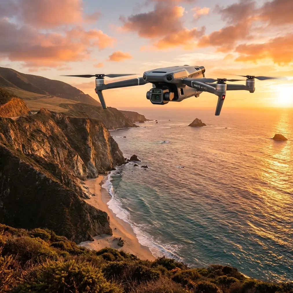
The DJI Mavic 3T combines a 48MP wide camera, 12MP zoom lens, and 640×512 thermal sensor in a compact airframe designed specifically for enterprise applications. This triple-sensor configuration transforms how agronomists approach field health assessment, pest detection, and irrigation management across challenging landscapes.
This guide delivers actionable antenna positioning strategies, flight planning techniques, and data collection workflows refined through hundreds of hours monitoring diverse agricultural operations.
Understanding O3 Transmission in Agricultural Environments
The Mavic 3T's O3 enterprise transmission system delivers 15km maximum range under ideal conditions. Complex terrain rarely offers ideal conditions.
Hills, tree lines, metal structures, and even dense crop canopies create signal obstacles that degrade transmission quality. Understanding how radio waves interact with your specific environment determines whether you capture complete datasets or return with gaps.
Signal Propagation Fundamentals
Radio signals travel in straight lines. When terrain features block line-of-sight between controller and aircraft, signal strength drops dramatically. The O3 system compensates through:
- Dual-frequency operation switching between 2.4GHz and 5.8GHz bands
- Four-antenna MIMO configuration on the controller
- Automatic channel selection avoiding interference
- AES-256 encryption maintaining security without adding latency
Antenna Positioning for Maximum Range
Expert Insight: Controller antenna orientation matters more than most operators realize. The flat faces of the antennas emit the strongest signal perpendicular to their surface. Pointing antennas directly at your aircraft actually creates a signal null zone.
Position your antennas at 45-degree angles forming a V-shape when viewed from above. This orientation ensures strong signal coverage whether your aircraft operates directly ahead, to either side, or at varying altitudes.
For hillside operations, elevate your launch position whenever possible. A 3-meter height advantage at your ground station can add hundreds of meters of effective range by reducing terrain shadowing.
Flight Planning for Undulating Fields
Effective field monitoring requires systematic coverage. Random flying wastes battery and creates inconsistent data. The Mavic 3T's onboard flight planning tools enable precise mission execution.
Terrain Following Configuration
Enable terrain following using DJI Pilot 2 with imported elevation data. The aircraft maintains consistent above-ground-level (AGL) altitude rather than fixed above-sea-level positioning.
Critical settings for agricultural terrain following:
- AGL altitude: 30-50 meters for general crop health assessment
- Terrain data source: Import high-resolution DEM files for accuracy
- Safety margin: Set minimum 15-meter buffer above highest obstacles
- Speed adjustment: Reduce to 8 m/s over steep grade changes
GCP Placement Strategy
Ground Control Points transform good photogrammetry into survey-grade accuracy. Complex terrain amplifies errors from insufficient GCP coverage.
| Terrain Type | Minimum GCPs | Optimal Spacing | Placement Priority |
|---|---|---|---|
| Flat fields | 5 | 100-150m grid | Corners + center |
| Rolling hills | 8-10 | 75m grid | Ridge tops + valleys |
| Steep slopes | 12+ | 50m grid | Elevation changes |
| Mixed terrain | 15+ | Variable | All transition zones |
Pro Tip: Place GCPs on terrain features that remain visible across seasons. Permanent markers on fence posts, irrigation infrastructure, or rock outcrops eliminate repositioning time for repeat surveys.
Thermal Signature Analysis Techniques
The Mavic 3T's thermal sensor reveals agricultural information invisible to standard cameras. Mastering thermal interpretation separates basic operators from true precision agriculture professionals.
Optimal Timing for Thermal Flights
Thermal contrast depends on differential heating and cooling rates. Different monitoring objectives require different timing:
Pre-dawn flights (4:00-6:00 AM)
- Maximum soil moisture contrast
- Irrigation leak detection
- Drainage pattern mapping
- Pest infestation hotspots
Solar noon flights (11:00 AM-1:00 PM)
- Crop stress identification
- Canopy temperature variation
- Equipment heat signatures
- Wildlife detection
Post-sunset flights (7:00-9:00 PM)
- Residual heat mapping
- Soil composition analysis
- Water table proximity indicators
Interpreting Agricultural Thermal Data
Healthy, well-watered crops maintain cooler canopy temperatures through transpiration. Stressed plants close stomata, reducing water loss but increasing leaf temperature.
Temperature differentials of 2-4°C between healthy and stressed zones indicate early intervention opportunities. Differentials exceeding 6°C suggest advanced stress requiring immediate attention.
The Mavic 3T's spot meter and area measurement tools quantify these differences precisely. Export thermal data in R-JPEG format preserving radiometric information for post-processing analysis.
BVLOS Considerations for Large Operations
Beyond Visual Line of Sight operations extend monitoring capabilities across expansive agricultural properties. Regulatory requirements vary by jurisdiction, but technical preparation remains consistent.
Technical Requirements for Extended Range
Successful BVLOS agricultural monitoring demands:
- Redundant communication links through cellular backup modules
- ADS-B receivers for manned aircraft awareness
- Pre-programmed return-to-home waypoints at multiple locations
- Battery reserves maintaining 30% minimum for emergency return
- Weather monitoring with abort thresholds defined
Hot-Swap Battery Workflow
The Mavic 3T's 46-minute maximum flight time extends significantly through efficient battery management. Carry minimum four batteries for serious monitoring sessions.
Establish a rotation system:
- Battery A: Flying
- Battery B: Cooling from previous flight
- Battery C: Charging
- Battery D: Ready standby
This rotation enables continuous operations with brief 3-5 minute swap intervals. Field charging requires reliable power—portable power stations rated 500W minimum handle the TB51 charger's demands.
Data Management and Processing
Raw imagery holds limited value without proper processing workflows. The Mavic 3T generates substantial data volumes requiring organized management.
File Organization Structure
Implement consistent naming conventions:
/ProjectName_Date/
  /RGB/
  /Thermal/
  /Zoom/
  /Flight_Logs/
  /GCP_Data/
Processing Pipeline Recommendations
| Data Type | Recommended Software | Output Format | Primary Use |
|---|---|---|---|
| RGB orthomosaic | Pix4D, DroneDeploy | GeoTIFF | Crop health indices |
| Thermal mosaic | Pix4D Thermal, FLIR Tools | Radiometric TIFF | Stress mapping |
| 3D terrain model | Agisoft Metashape | Point cloud, DSM | Drainage analysis |
| Multitemporal comparison | QGIS, ArcGIS | Change detection layers | Trend monitoring |
Common Mistakes to Avoid
Ignoring wind patterns in valleys Valley terrain creates unpredictable wind acceleration and turbulence. Monitor wind speeds at multiple elevations before committing to flights. The Mavic 3T handles 12 m/s winds, but gusts in terrain channels often exceed steady-state readings.
Insufficient overlap in steep terrain Standard 70% front / 60% side overlap works for flat fields. Increase to 80% / 70% minimum when terrain slope exceeds 15 degrees. Photogrammetry software struggles reconstructing steep surfaces from insufficient image overlap.
Single-time thermal capture One thermal flight provides a snapshot. Agricultural thermal analysis gains power through comparison. Establish weekly or bi-weekly thermal baselines during growing seasons to identify developing issues before visible symptoms appear.
Neglecting sensor calibration Thermal accuracy degrades without regular flat-field calibration. Perform NUC (Non-Uniformity Correction) before each flight session. Allow the sensor 10-minute warmup before capturing critical data.
Flying during temperature inversions Morning temperature inversions trap moisture and reduce thermal contrast. Wait until surface heating breaks the inversion layer—typically 2-3 hours after sunrise—for clearer thermal differentiation.
Frequently Asked Questions
What altitude provides the best balance between coverage and detail for crop monitoring?
For general crop health assessment, 40-meter AGL offers optimal balance. This altitude provides approximately 3.5cm/pixel RGB resolution and 15cm/pixel thermal resolution—sufficient for identifying stress patterns while covering substantial acreage per flight. Reduce to 25-30 meters when investigating specific problem areas requiring detailed analysis.
How do I maintain consistent thermal readings across multiple flights?
Consistency requires controlling variables. Fly at the same time of day, under similar weather conditions, with identical camera settings. Record ambient temperature, humidity, and cloud cover for each session. Use the Mavic 3T's isotherm feature with fixed temperature ranges rather than auto-scaling, ensuring visual consistency across datasets.
Can the Mavic 3T effectively monitor fields with significant tree coverage along boundaries?
Yes, with modified techniques. Increase flight altitude to 60-70 meters over tree-lined boundaries to maintain safe clearance. Use the zoom camera for detailed inspection of field edges where the wide camera cannot achieve sufficient resolution from safe altitudes. Plan flight paths with 50-meter buffers from tall obstacles, capturing boundary areas through oblique imaging rather than direct overflight.
Ready for your own Mavic 3T? Contact our team for expert consultation.