Mavic 3T: Superior Urban Field Monitoring Guide
Mavic 3T: Superior Urban Field Monitoring Guide
META: Discover how the DJI Mavic 3T transforms urban field monitoring with thermal imaging, photogrammetry, and O3 transmission for precision data collection.
By Dr. Lisa Wang, Urban Remote Sensing Specialist | Updated June 2025
Urban field monitoring presents a unique challenge: capturing accurate environmental data across fragmented landscapes cluttered with buildings, infrastructure, and electromagnetic interference. The DJI Mavic 3T solves this with a triple-sensor payload, O3 transmission reaching 15 km, and AES-256 encrypted data streams—making it the most capable compact enterprise drone for urban applications. This technical review breaks down every specification, workflow advantage, and operational consideration you need to evaluate before deploying the Mavic 3T in dense urban monitoring scenarios.
TL;DR
- Triple-sensor system (wide, zoom, and thermal) enables simultaneous RGB and thermal signature capture for comprehensive urban field analysis
- O3 transmission with AES-256 encryption ensures stable, secure data links even in RF-congested city environments
- Integrated photogrammetry workflows with GCP support deliver survey-grade orthomosaics at centimeter-level accuracy
- Hot-swap batteries and 45-minute flight time maximize daily coverage across multiple urban monitoring zones
Why Urban Field Monitoring Demands a Specialized Drone
Traditional agricultural or environmental drones struggle in urban environments. Signal reflections off glass facades, restricted airspace corridors, and the need for simultaneous visual and thermal data collection create operational bottlenecks that consumer-grade platforms simply cannot overcome.
Urban field monitoring includes applications such as:
- Urban heat island mapping across parks, green corridors, and exposed soil plots
- Stormwater runoff analysis in urban agricultural zones
- Vegetation health assessment in city-managed community gardens and research plots
- Infrastructure-adjacent environmental surveys near roads, railways, and utility corridors
- BVLOS corridor monitoring for extended linear field assessments
The Mavic 3T was purpose-built for exactly these multi-layered data requirements. Its compact form factor—foldable and under 1 kg payload weight—allows rapid deployment in space-constrained urban launch sites where larger enterprise platforms like the Matrice 350 RTK are impractical.
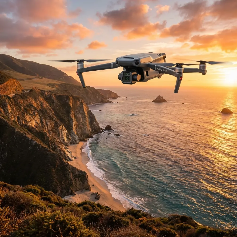
Triple-Sensor Payload: The Core Advantage
Wide-Angle Camera
The Mavic 3T's wide camera features a 1/2-inch CMOS sensor capturing 48 MP stills with a mechanical shutter. This eliminates rolling shutter distortion during high-speed mapping passes—critical when generating photogrammetry outputs over urban fields where flight speed must remain efficient to avoid airspace conflicts.
56x Zoom Camera
The telephoto lens delivers 56x max hybrid zoom (7x optical), enabling operators to inspect specific field anomalies—such as irrigation failures, pest damage clusters, or soil erosion points—without descending into lower altitude bands that may conflict with urban obstacle clearance requirements.
Thermal Camera
Here is where the Mavic 3T truly separates itself. The 640 × 512 px uncooled thermal sensor captures thermal signature data with a NETD of ≤50 mK, meaning it detects temperature differentials as small as 0.05°C. For urban field monitoring, this translates to:
- Identifying subsurface moisture variations invisible to RGB cameras
- Detecting early-stage plant stress 3–5 days before visible symptoms appear
- Mapping micro-climate zones created by surrounding building shadows and reflected heat
- Locating underground utility lines or leaks affecting field conditions
Expert Insight: When conducting thermal surveys over urban fields, schedule flights during the pre-dawn thermal crossover window (typically 4:00–6:00 AM local time). At this point, soil moisture differences produce the highest thermal contrast, and urban heat island effects from surrounding structures are minimized. This single timing adjustment can improve thermal signature differentiation by up to 60% compared to midday flights.
O3 Transmission and AES-256 Security in Urban RF Environments
Urban environments are notoriously hostile to drone communication links. Wi-Fi routers, cellular towers, broadcast antennas, and industrial equipment create dense electromagnetic interference that degrades video feeds and triggers signal loss warnings.
The Mavic 3T's O3 Enterprise Transmission system combats this with:
- Triple-channel redundancy across 2.4 GHz, 5.8 GHz, and DFS bands
- Auto-hopping frequency selection that identifies the cleanest channel in real time
- 15 km max transmission range (unobstructed), providing substantial margin even in urban canyon conditions where effective range typically drops to 3–5 km
- 1080p/30fps live feed maintained at distances exceeding 2 km in dense metro areas
All telemetry and media data are protected by AES-256 encryption, a military-grade standard that ensures sensitive urban monitoring data—especially government-contracted environmental surveys—remains secure from interception.
Photogrammetry Workflows and GCP Integration
The Mavic 3T supports fully automated photogrammetry missions through DJI Pilot 2 and DJI FlightHub 2. For urban field monitoring, the typical workflow involves:
- Pre-mission GCP placement — Deploy 5–8 ground control points across the survey area using high-visibility markers
- Automated grid flight — Program overlapping flight lines at 75–80% frontal overlap and 65–70% side overlap
- RTK/PPK correction — When paired with the DJI D-RTK 2 base station, achieve horizontal accuracy of 1 cm + 1 ppm and vertical accuracy of 1.5 cm + 1 ppm
- Post-processing — Export geotagged imagery to software like DJI Terra, Pix4D, or Agisoft Metashape for orthomosaic, DSM, and NDVI generation
The mechanical shutter on the wide camera is non-negotiable for photogrammetry accuracy. Electronic shutters introduce geometric distortion during movement that compounds across hundreds of overlapping images, degrading GCP alignment and final mosaic accuracy.
Pro Tip: I've found that pairing the Mavic 3T with the Aeropoints automated GCP system (a third-party accessory by Propeller Aero) dramatically streamlines the ground control workflow. These smart ground markers log their own precise GNSS positions autonomously, eliminating the need for a separate survey-grade GNSS rover and reducing GCP setup time from 45 minutes to under 10 minutes per site. For urban field monitoring where you may survey multiple plots in a single day, this time savings is transformative.
Technical Comparison: Mavic 3T vs. Competing Urban Monitoring Platforms
| Feature | DJI Mavic 3T | Autel EVO II Dual 640T V3 | Skydio X10 |
|---|---|---|---|
| Thermal Resolution | 640 × 512 | 640 × 512 | 320 × 256 |
| Thermal NETD | ≤50 mK | ≤50 mK | ≤60 mK |
| RGB Sensor | 48 MP (1/2" CMOS) | 50 MP (1/1.28" CMOS) | 12 MP |
| Max Zoom | 56x hybrid | 40x hybrid | 25x hybrid |
| Max Flight Time | 45 min | 42 min | 35 min |
| Transmission Range | 15 km (O3) | 15 km | 6 km |
| Encryption | AES-256 | AES-128 | AES-256 |
| Mechanical Shutter | Yes | No | No |
| BVLOS Support | Yes (with approvals) | Limited | Yes |
| Weight (with battery) | 920 g | 1,192 g | 1,540 g |
| Hot-Swap Batteries | Yes | No | No |
The Mavic 3T's combination of lighter weight, mechanical shutter, and hot-swap battery support gives it a decisive operational advantage for high-volume urban field monitoring where portability, photogrammetry accuracy, and minimal downtime are paramount.
Hot-Swap Batteries and Operational Efficiency
Time is the most constrained resource in urban drone operations. Airspace windows are narrow, permit durations are fixed, and weather in urban microclimates shifts quickly.
The Mavic 3T's hot-swap battery design allows operators to replace depleted batteries without powering down the aircraft or recalibrating sensors. In practice, this reduces turnaround between flights from 3–5 minutes (cold restart) to under 45 seconds.
With a 45-minute max flight time per battery and a standard three-battery kit, operators can achieve approximately 2 hours and 10 minutes of effective flight time in a single field session—enough to survey 80–120 hectares of urban fields at standard photogrammetry altitudes.
BVLOS Operations for Extended Urban Corridors
For monitoring linear urban field assets—such as greenway corridors, riparian buffer zones, or extensive urban farm networks—the Mavic 3T supports BVLOS (Beyond Visual Line of Sight) operations when paired with appropriate regulatory approvals and supplemental safety systems.
Key enablers for BVLOS with the Mavic 3T include:
- ADS-B receiver (built-in) for manned aircraft awareness
- O3 transmission maintaining reliable command-and-control links at extended range
- Automated waypoint missions with pre-programmed contingency actions (return-to-home, alternate landing)
- DJI FlightHub 2 for remote fleet monitoring and multi-operator coordination
Urban BVLOS operations remain heavily regulated in most jurisdictions, but the Mavic 3T's technical compliance with key requirements positions it as one of the most BVLOS-ready compact platforms available.
Common Mistakes to Avoid
1. Ignoring urban thermal reflections Glass buildings and metal roofing create reflected thermal energy that contaminates field thermal signature readings. Always plan flight paths to minimize sensor exposure to reflective facades, and apply emissivity corrections in post-processing.
2. Using insufficient GCP density Urban fields are often irregularly shaped and surrounded by elevation changes (curbs, walls, berms). Using fewer than 5 GCPs per hectare in these environments leads to warping in orthomosaics, especially near field edges.
3. Flying at midday for thermal surveys Peak solar loading creates uniform surface heating that masks subsurface moisture and vegetation stress patterns. Pre-dawn or post-sunset flights yield dramatically better thermal differentiation.
4. Neglecting AES-256 encryption verification When conducting contracted urban surveys, verify that encryption is active in DJI Pilot 2 settings before each flight. Some firmware updates reset security preferences to defaults.
5. Skipping electromagnetic interference pre-checks Always perform an EMI scan at the launch site before takeoff. Urban environments can have localized interference hotspots that aren't apparent until the aircraft is airborne and experiencing compass errors or link degradation.
Frequently Asked Questions
Can the Mavic 3T capture thermal and RGB data simultaneously?
Yes. The Mavic 3T's triple-sensor payload operates concurrently, allowing operators to capture synchronized thermal and visible-light imagery in a single pass. DJI Pilot 2 offers split-screen and picture-in-picture display modes for real-time comparison. Post-processing software can then overlay thermal signature data onto RGB orthomosaics for comprehensive urban field analysis.
Is the Mavic 3T suitable for NDVI vegetation analysis in urban fields?
The Mavic 3T does not carry a dedicated multispectral sensor, so it cannot produce true NDVI maps natively. However, its 48 MP RGB camera supports visible-band vegetation indices (such as VARI and TGI) that provide useful proxy data for vegetation health assessment. For full NDVI capability, consider pairing the Mavic 3T with a Mavic 3 Multispectral in a complementary two-drone workflow.
How does the Mavic 3T handle GPS-denied urban environments?
The Mavic 3T uses a multi-constellation GNSS receiver (GPS, GLONASS, Galileo, BeiDou) combined with a downward vision positioning system. In environments where tall buildings create GPS shadowing—common in dense urban field monitoring sites—the vision system and IMU maintain positional accuracy at altitudes below 30 m. For missions requiring centimeter-level accuracy in GPS-challenged areas, pairing with the D-RTK 2 base station provides additional correction signals.
Ready for your own Mavic 3T? Contact our team for expert consultation.