Forest Monitoring Guide: Mavic 3T Best Practices
Forest Monitoring Guide: Mavic 3T Best Practices
META: Master forest monitoring with the DJI Mavic 3T. Learn thermal imaging techniques, antenna positioning tips, and expert workflows for dusty environments.
TL;DR
- Optimal antenna positioning at 45-degree angles maximizes O3 transmission range up to 15km in forest environments
- Thermal signature detection identifies heat anomalies through dense canopy with 640×512 resolution
- Pre-flight dust mitigation protocols extend sensor lifespan and maintain image clarity
- BVLOS operations require specific GCP placement strategies for accurate photogrammetry results
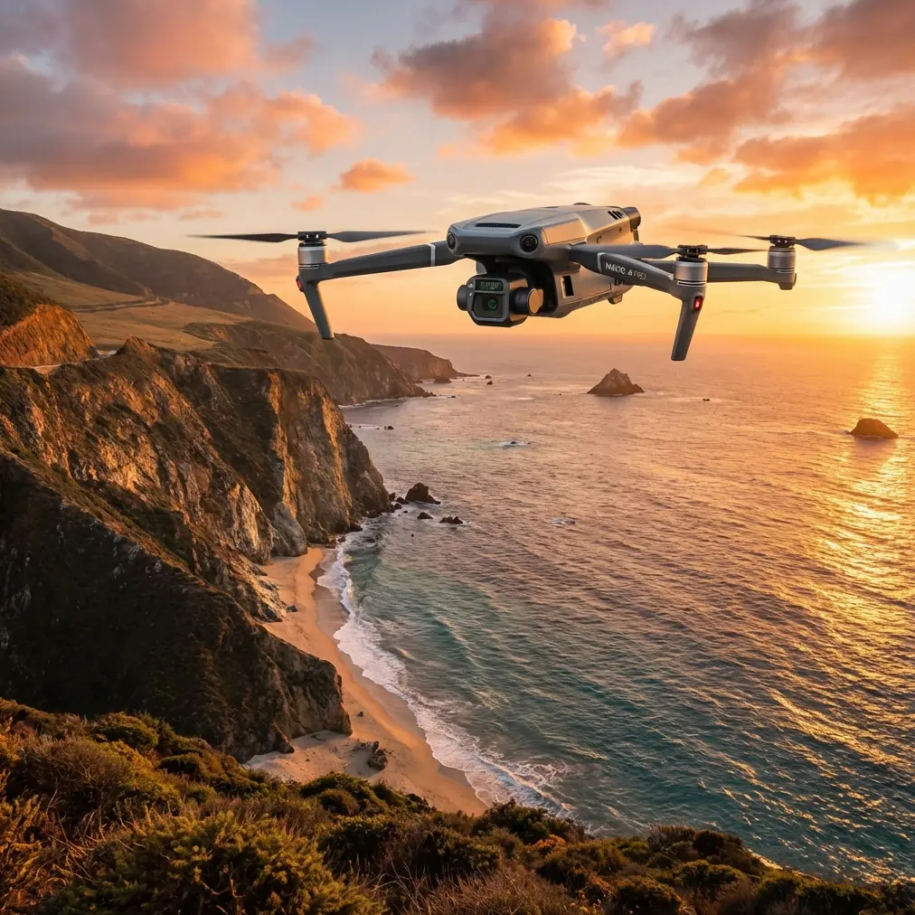
Forest monitoring operations demand equipment that performs flawlessly in challenging conditions. The DJI Mavic 3T combines a 56× hybrid zoom, wide-angle camera, and thermal sensor in a compact airframe—making it the go-to platform for forestry professionals working in dusty, remote environments. This guide breaks down the exact techniques, settings, and workflows that separate amateur flights from professional-grade forest surveillance.
Understanding the Mavic 3T's Forest Monitoring Capabilities
The Mavic 3T wasn't designed as a general-purpose consumer drone. Its enterprise-grade sensor array specifically addresses the challenges forestry professionals face daily.
Triple-Sensor Configuration
The integrated camera system includes:
- Wide camera: 1/2-inch CMOS sensor with 12MP resolution and 108° FOV
- Zoom camera: 1/2-inch CMOS with 48MP and 56× max hybrid zoom
- Thermal camera: Uncooled VOx microbolometer with 640×512 resolution
This combination allows operators to capture broad survey imagery, inspect specific targets from safe distances, and detect thermal signatures invisible to standard cameras—all without swapping payloads.
O3 Transmission System Performance
The OcuSync 3 Enterprise transmission system delivers 15km maximum range under ideal conditions. However, forest environments introduce significant signal challenges.
Dense vegetation absorbs and scatters radio frequencies. Moisture content in leaves further degrades transmission quality. Understanding these limitations prevents unexpected signal loss during critical monitoring missions.
Expert Insight: In my experience monitoring Pacific Northwest forests, maintaining line-of-sight to at least 60% of the flight path prevents most transmission dropouts. Plan your takeoff locations on ridgelines or clearings whenever possible.
Antenna Positioning for Maximum Range
Antenna orientation dramatically impacts transmission reliability. Most operators overlook this critical factor.
The 45-Degree Rule
Position your remote controller antennas at 45-degree angles relative to the ground—not pointed directly at the aircraft. This orientation creates an optimal radiation pattern that maintains signal strength as the drone moves through three-dimensional space.
Positioning Adjustments by Flight Phase
| Flight Phase | Antenna Position | Reasoning |
|---|---|---|
| Takeoff/Landing | Antennas vertical | Aircraft directly overhead |
| Low-altitude survey | 45° outward angle | Balanced horizontal coverage |
| Distant BVLOS ops | Antennas horizontal | Maximum forward projection |
| Behind-canopy flight | 45° toward last known position | Penetrates vegetation gaps |
Environmental Interference Mitigation
Dusty conditions common in fire-prone forests introduce additional transmission challenges. Particulate matter in the air scatters radio waves, reducing effective range by 10-25% depending on density.
Combat this by:
- Selecting frequencies with less atmospheric absorption
- Reducing maximum planned range by 20% as a safety buffer
- Positioning yourself upwind from dust sources when possible
- Cleaning antenna connections before each flight session
Thermal Imaging Techniques for Forest Monitoring
The Mavic 3T's thermal camera transforms forest monitoring capabilities. Detecting thermal signatures through canopy requires specific techniques.
Optimal Flight Parameters for Thermal Detection
Configure your thermal surveys with these settings:
- Altitude: 80-120m AGL balances resolution with coverage area
- Speed: 5-7 m/s prevents motion blur in thermal imagery
- Overlap: 75% frontal, 65% side for accurate photogrammetry processing
- Time of day: Pre-dawn or 2 hours post-sunset maximizes thermal contrast
Interpreting Thermal Signatures
Forest thermal signatures vary significantly based on target type:
- Wildlife: Distinct warm spots against cooler vegetation background
- Illegal camps: Concentrated heat sources with geometric patterns
- Disease stress: Elevated canopy temperatures in affected areas
- Water sources: Cool linear features cutting through warmer terrain
- Smoldering fire: Intense hotspots often invisible in visible spectrum
Pro Tip: Create custom color palettes in DJI Pilot 2 that highlight the specific temperature range of your target. For early fire detection, I use a palette that shifts dramatically between 45°C and 65°C—the critical smoldering range.
Dust Mitigation Protocols
Dusty forest environments threaten sensor integrity and flight safety. Implement these protocols to protect your investment.
Pre-Flight Dust Preparation
Before launching in dusty conditions:
- Apply hydrophobic lens coating to all three camera elements
- Inspect and clean gimbal motors for particulate infiltration
- Verify cooling vents remain unobstructed
- Check propeller attachment points for debris accumulation
- Confirm battery contacts are clean and corrosion-free
In-Flight Considerations
During dusty operations:
- Maintain higher hover altitudes to avoid rotor downwash dust clouds
- Approach landing zones slowly and from upwind
- Avoid rapid altitude changes that create turbulence near ground level
- Monitor motor temperatures through DJI Pilot 2 telemetry
Post-Flight Maintenance
After each dusty flight session:
- Use compressed air at low pressure to clear external surfaces
- Wipe sensors with microfiber cloths designed for optical equipment
- Inspect gimbal dampeners for dust accumulation
- Store in sealed cases with desiccant packets
GCP Placement for Photogrammetry Accuracy
Ground Control Points transform good aerial surveys into centimeter-accurate datasets. Forest environments require modified GCP strategies.
Optimal GCP Distribution
Standard photogrammetry guidelines recommend 5-7 GCPs for most survey areas. Forest monitoring often requires 8-12 GCPs due to:
- Canopy gaps limiting visible ground area
- Irregular terrain creating elevation variations
- Shadow interference reducing marker visibility
GCP Visibility Through Canopy
Place GCPs in locations visible from multiple angles:
- Natural clearings and meadows
- Road intersections and trail junctions
- Rocky outcrops above canopy level
- Stream banks with open sky views
Use high-contrast markers measuring at least 60cm × 60cm for reliable detection through partial canopy cover.
BVLOS Operations in Forest Environments
Beyond Visual Line of Sight operations extend monitoring capabilities but introduce additional complexity.
Regulatory Compliance
BVLOS forest operations typically require:
- Part 107 waiver with specific operational limitations
- Visual observers positioned along flight corridors
- ADS-B monitoring for manned aircraft awareness
- Lost link procedures documented and tested
Technical Requirements
The Mavic 3T supports BVLOS through:
- AES-256 encryption securing command and control links
- Automatic RTH triggering at configurable signal thresholds
- Hot-swap batteries enabling extended mission duration
- Redundant GPS/GLONASS positioning for reliable navigation
Common Mistakes to Avoid
Ignoring Thermal Calibration
The thermal sensor requires flat-field calibration periodically. Skipping this step introduces measurement errors that compound across large survey areas.
Underestimating Battery Consumption
Cold forest mornings and high-altitude operations reduce battery performance by 15-30%. Always carry minimum three batteries and plan missions assuming reduced flight times.
Neglecting Firmware Updates
DJI regularly releases firmware addressing forest-specific challenges. The October 2023 update improved thermal accuracy by 8% in high-humidity environments—updates matter.
Poor Mission Planning
Flying without pre-planned waypoints wastes battery and produces inconsistent data. Use DJI FlightHub 2 to create repeatable survey patterns that generate comparable datasets across monitoring sessions.
Overlooking Weather Windows
Forest microclimates change rapidly. Morning fog, afternoon thermals, and evening temperature inversions all impact flight safety and data quality. Check conditions immediately before launch, not just during planning.
Frequently Asked Questions
How does dust affect the Mavic 3T's thermal sensor accuracy?
Dust accumulation on the thermal lens creates cold spots in imagery that mimic actual temperature variations. Clean the germanium lens element with appropriate optical-grade materials before each flight. Heavy dust contamination can reduce thermal accuracy by 3-5°C—significant when detecting subtle temperature anomalies.
What's the maximum effective range for forest monitoring operations?
While the O3 system supports 15km theoretical range, practical forest operations typically achieve 8-10km reliable transmission. Dense vegetation, terrain masking, and atmospheric conditions all reduce effective range. Plan missions with 30% range buffer for safety.
Can the Mavic 3T detect wildlife through forest canopy?
The thermal sensor detects heat signatures through gaps in canopy but cannot penetrate solid vegetation. Effective wildlife monitoring requires flight paths over clearings, along forest edges, or during leaf-off seasons. Large mammals like deer and elk produce detectable signatures from 100m AGL through moderate canopy cover.
Mastering forest monitoring with the Mavic 3T requires understanding both the platform's capabilities and the unique challenges forested environments present. The techniques outlined here represent thousands of flight hours across diverse forest ecosystems. Apply them systematically, and your monitoring operations will deliver the accurate, actionable data that modern forestry management demands.
Ready for your own Mavic 3T? Contact our team for expert consultation.