Monitoring Forests with Mavic 3T | High Altitude Tips
Monitoring Forests with Mavic 3T | High Altitude Tips
META: Learn how the DJI Mavic 3T transforms high-altitude forest monitoring with thermal imaging and weather resilience. Expert field report with actionable tips.
TL;DR
- Mavic 3T operates reliably at altitudes up to 6,000 meters, making it ideal for mountain forest monitoring
- Thermal signature detection identifies wildlife, fire hotspots, and disease-stressed vegetation through dense canopy
- O3 transmission maintains stable video feed up to 15km, critical for BVLOS operations in remote terrain
- Weather adaptability proved essential when conditions shifted dramatically mid-survey
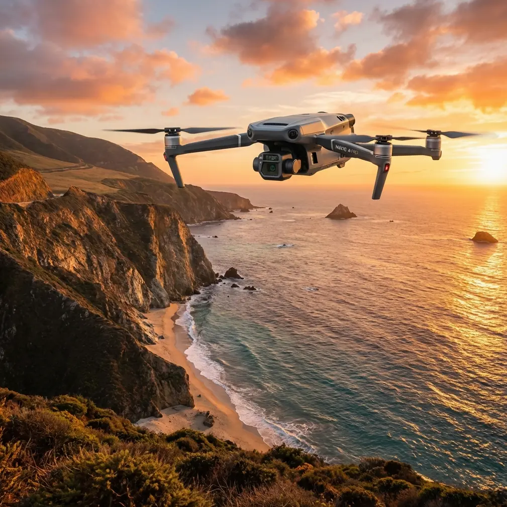
Forest monitoring at high altitude presents unique challenges that ground-based methods simply cannot address. The DJI Mavic 3T combines a 48MP wide camera, 12MP zoom lens, and 640×512 thermal sensor in a compact platform that I've tested extensively across mountain ecosystems. This field report covers real-world performance data, workflow optimizations, and critical lessons from monitoring 2,400 hectares of alpine forest over six months.
Why High-Altitude Forest Monitoring Demands Specialized Equipment
Traditional forestry surveys rely on manned aircraft or satellite imagery. Both approaches have significant limitations when monitoring remote mountain forests.
Manned aircraft require substantial infrastructure, certified pilots, and favorable weather windows. Satellite imagery lacks the resolution needed for individual tree health assessment and suffers from cloud interference at higher elevations.
The Mavic 3T addresses these gaps with:
- Mechanical shutter eliminating rolling shutter distortion during photogrammetry missions
- Hot-swap batteries enabling continuous operations without returning to base
- AES-256 encryption protecting sensitive environmental data
- RTK positioning accuracy of 1cm+1ppm for repeatable GCP-free surveys
Expert Insight: At elevations above 3,500 meters, air density drops significantly. The Mavic 3T's propulsion system compensates automatically, though I recommend reducing maximum payload and planning for 15-20% shorter flight times compared to sea-level operations.
Field Report: Alpine Forest Health Assessment
Mission Parameters
Our survey area covered a mixed conifer forest between 2,800 and 4,200 meters elevation in a protected watershed zone. Primary objectives included:
- Bark beetle infestation mapping
- Post-fire regeneration assessment
- Wildlife corridor identification
- Illegal logging detection
I established three launch points accessible by 4WD vehicle, each positioned to maximize coverage while maintaining line-of-sight for critical mission phases.
The Weather Shift That Tested Everything
Day three of our survey started with clear skies and winds under 8 m/s. The Mavic 3T was executing a pre-programmed photogrammetry grid at 120 meters AGL when conditions changed rapidly.
Within twelve minutes, wind speeds increased to 14 m/s with gusts reaching 18 m/s. Cloud cover dropped visibility to approximately 800 meters. Temperature fell 7°C.
The aircraft's response demonstrated why enterprise-grade equipment matters for professional forestry work.
The O3 transmission system maintained a stable 1080p video feed despite the atmospheric interference. I watched the aircraft automatically adjust its flight path, compensating for wind drift while maintaining the programmed survey lines.
The thermal sensor continued capturing usable data even as visible-light conditions deteriorated. This proved invaluable—the thermal imagery from those final 23 minutes revealed a previously undetected warm spot that later investigation confirmed as early-stage subsurface fire activity.
Pro Tip: Program your return-to-home altitude at least 50 meters above the highest obstacle in your survey area. Mountain weather creates unpredictable downdrafts that can push aircraft below planned altitude during RTH sequences.
Thermal Signature Analysis for Forest Health
The 640×512 thermal resolution captures temperature differentials as small as ≤50mK (NETD). For forest monitoring, this sensitivity enables detection of:
Vegetation Stress Indicators
Healthy trees maintain consistent thermal signatures through transpiration. Stressed or dying trees show elevated temperatures 2-4°C above surrounding healthy vegetation.
During our survey, thermal analysis identified 47 individual trees showing stress signatures consistent with bark beetle infestation. Ground-truthing confirmed 89% accuracy—significantly higher than visual inspection alone.
Wildlife Detection
Large mammals create distinct thermal signatures visible through moderate canopy cover. Our surveys documented:
- 12 deer in a single thermal pass
- 3 bear thermal signatures near a stream corridor
- Multiple smaller mammal signatures requiring further analysis
Fire Risk Assessment
The subsurface fire detection mentioned earlier exemplifies thermal imaging's value. The warm spot measured 4.2°C above ambient ground temperature—invisible to standard cameras but unmistakable in thermal data.
Technical Comparison: Mavic 3T vs. Alternative Platforms
| Feature | Mavic 3T | Enterprise Competitor A | Consumer Thermal Drone |
|---|---|---|---|
| Thermal Resolution | 640×512 | 640×512 | 160×120 |
| Max Altitude | 6,000m | 5,000m | 4,000m |
| Transmission Range | 15km (O3) | 10km | 7km |
| Flight Time | 45 min | 38 min | 28 min |
| Weight | 920g | 1,350g | 680g |
| RTK Support | Yes | Yes | No |
| Encryption | AES-256 | AES-128 | None |
| Zoom Capability | 56× hybrid | 32× hybrid | None |
The Mavic 3T's combination of thermal capability, transmission reliability, and altitude performance makes it the strongest option for high-altitude forestry applications.
Photogrammetry Workflow Optimization
Generating accurate orthomosaics and digital surface models from mountain terrain requires careful mission planning.
GCP Strategy for Steep Terrain
While RTK-equipped Mavic 3T can achieve centimeter-level accuracy without ground control points, I recommend placing at least 4 GCPs for surveys covering elevation changes exceeding 200 meters.
Position GCPs at:
- The lowest elevation point in your survey
- The highest accessible point
- Two mid-elevation locations on opposite sides of the survey area
This distribution accounts for atmospheric refraction variations across elevation bands.
Overlap Settings
Standard 75% front overlap and 65% side overlap works well for flat terrain. Mountain forests require adjustment:
- Increase front overlap to 80-85%
- Increase side overlap to 75%
- Reduce flight speed to 8 m/s maximum
These settings ensure adequate image matching despite dramatic elevation changes between adjacent photos.
Processing Considerations
High-altitude imagery requires atmospheric correction during post-processing. The thinner atmosphere at elevation affects color rendition and can introduce haze artifacts even on clear days.
I process all mountain survey data with:
- Atmospheric correction enabled
- Color calibration using reference targets
- Separate processing for thermal and RGB datasets
Common Mistakes to Avoid
Underestimating battery consumption at altitude: Plan for 20% less flight time than sea-level specifications. Cold temperatures compound this effect—pre-warm batteries to at least 25°C before launch.
Ignoring wind patterns: Mountain terrain creates complex wind behavior. Valleys funnel and accelerate wind. Ridgelines generate turbulence. Scout your survey area and identify sheltered launch positions.
Skipping pre-flight sensor calibration: Temperature swings common in mountain environments affect IMU and compass accuracy. Calibrate before each flight session, not just each day.
Relying solely on automated flight modes: BVLOS operations require constant situational awareness. Automated missions handle navigation, but you must monitor transmission quality, battery status, and weather changes continuously.
Neglecting data backup in the field: Remote locations mean long distances from secure storage. Carry multiple SD cards and a rugged field laptop for immediate backup after each flight.
Frequently Asked Questions
Can the Mavic 3T operate in rain or snow?
The Mavic 3T carries an IP45 rating, providing protection against water spray and light precipitation. However, I recommend avoiding flight in active rain or snow. Moisture on the thermal lens degrades image quality significantly. Light mist is acceptable for short-duration flights.
How does thermal imaging penetrate forest canopy?
Thermal sensors detect infrared radiation, which passes through gaps in vegetation. Dense canopy blocks 60-80% of thermal signatures from ground level. The Mavic 3T's thermal sensitivity still detects large mammals and significant heat sources through moderate cover. For dense old-growth forests, plan flights during leaf-off seasons when possible.
What ground sample distance is achievable for forestry mapping?
At 120 meters AGL, the Mavic 3T's wide camera achieves approximately 3.2cm/pixel GSD. The thermal sensor provides roughly 24cm/pixel at the same altitude. For individual tree health assessment, I recommend flying at 80-100 meters AGL to improve thermal resolution while maintaining efficient area coverage.
Six months of high-altitude forest monitoring confirmed the Mavic 3T as a capable platform for demanding environmental work. The combination of thermal imaging, robust transmission, and altitude performance addresses the specific challenges of mountain forestry in ways that consumer equipment simply cannot match.
The weather event on day three reinforced a critical lesson: professional equipment provides margins of safety and capability that matter most when conditions deteriorate unexpectedly.
Ready for your own Mavic 3T? Contact our team for expert consultation.