Mavic 3T for Urban Forest Monitoring: A Practical Expert
Mavic 3T for Urban Forest Monitoring: A Practical Expert View
META: How the DJI Mavic 3T fits urban forest monitoring, from thermal signature detection and canopy assessment to secure data workflows, photogrammetry support, and real operational limits.
Urban forests are deceptively hard to monitor well.
A city park, roadside tree corridor, or greenbelt looks simple from the ground. From the air, it becomes a layered environment full of blind spots: dense canopies hiding stressed trees, heat-reflective rooftops affecting thermal interpretation, narrow takeoff zones, signal interference, public sensitivity, and pressure to document findings clearly for planners, arborists, and environmental managers. That is where the Mavic 3T earns its place. Not because it is the biggest aircraft in its class, but because it solves several urban monitoring problems at once without forcing teams into a heavier operational footprint.
For readers evaluating the Mavic 3T specifically for monitoring forests in urban areas, the real question is not whether it can fly over trees. Many drones can. The real question is whether it can gather useful, defensible data in constrained city environments while staying efficient enough to deploy routinely. On that point, the Mavic 3T is unusually well balanced.
The urban forest problem is not just canopy mapping
Urban forestry teams are rarely dealing with a single task. One morning may involve identifying drought stress near a pedestrian path. The next may require checking irrigation performance around newly planted sections, documenting storm damage, screening for weak canopy pockets above public spaces, and creating visual records to support maintenance scheduling. Traditional RGB imaging helps, but it often misses early signs of trouble hidden in a tree’s thermal behavior.
That is why thermal matters here.
A thermal signature can reveal patterns that standard visual imagery will not show clearly from the same angle. In an urban forest context, that can mean spotting unusual heat retention around root zones, identifying inconsistent moisture behavior, or detecting surface anomalies after infrastructure work disturbed nearby soil. Thermal data is not a substitute for arboriculture expertise, but it gives field teams a faster way to prioritize inspections across larger areas.
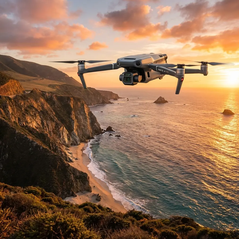
The Mavic 3T’s value starts with that multi-sensor approach. Instead of forcing a team to choose between thermal review and conventional visual documentation, it allows both in a single aircraft package. In urban operations, that matters because deployment windows are often short. You may only have a limited period with favorable light, manageable pedestrian traffic, and acceptable local airspace conditions. A compact platform that captures thermal and visible observations without swapping aircraft reduces friction immediately.
Why the Mavic 3T stands out against many competitors
Some competing platforms can deliver stronger endurance, larger payload flexibility, or more specialized mapping sensors. But in urban forest monitoring, that is not always the winning formula. Bigger aircraft can attract more attention, require more setup space, and complicate routine deployment in city-adjacent environments. Smaller drones may be easy to launch, yet lack the sensor mix or operational reliability needed for serious repeat inspections.
The Mavic 3T sits in a useful middle ground.
Its O3 transmission system is one of the details that becomes more meaningful in cities than it sounds on a spec sheet. Urban forest monitoring often happens near buildings, utility corridors, and mixed terrain that can challenge signal stability. A robust transmission link helps maintain situational awareness when moving around canopy edges, tree-lined streets, or fragmented green spaces. That does not erase the need for proper line-of-sight planning, but it does improve confidence in the live feed during detailed inspection work.
Another practical differentiator is AES-256 data security support. That tends to be overlooked until an organization has to answer hard questions about who can access environmental survey data, urban infrastructure imagery, or records linked to public land management. City projects increasingly involve IT oversight, procurement review, and data handling requirements. Secure workflows are not just an enterprise checkbox. They can decide whether a drone program scales or stalls. The Mavic 3T fits better into those conversations than many lighter-duty alternatives built mainly around casual imaging.
Thermal is only useful if you understand what the city does to it
Thermal imaging in forests sounds straightforward until it meets asphalt, concrete, parked vehicles, glass, irrigation overspray, and rooftop HVAC exhaust.
Urban environments create thermal clutter. That means teams using the Mavic 3T need to interpret heat signatures in context rather than chasing every hot or cool patch as a vegetation issue. A stressed tree near a heat-retaining footpath may present differently than one in a shaded courtyard. A recently watered median may look healthy thermally for reasons unrelated to long-term vitality. The strength of the Mavic 3T is not that it magically removes these complexities. It is that it lets operators detect patterns early and compare sites consistently over time.
That repeatability matters more than one dramatic thermal snapshot.
If a parks department flies the same routes under similar conditions every two weeks, trends start to emerge. Certain tree clusters may repeatedly show unusual thermal behavior. Root zone temperature differences may align with known drainage issues. Planting zones above buried utilities may behave differently from nearby control areas. The Mavic 3T helps make those comparisons practical because it is fast enough to deploy often, not just occasionally.
The hidden strength: one platform for inspection and basic site modeling
Urban forest monitoring does not stop at thermal scans. Teams often need location-aware visual documentation to support planning, contractor coordination, and reporting. This is where photogrammetry enters the discussion.
The Mavic 3T is not the first aircraft most specialists would choose for high-precision survey work over dedicated mapping platforms. That said, it can still support valuable photogrammetry-based workflows for urban green assets when expectations are aligned with the mission. If the goal is to create situational site models, document canopy spread, track changes after pruning or storm events, or produce visual context for maintenance planning, it can do useful work.
Ground Control Points, or GCPs, become especially relevant when urban forestry teams need better spatial consistency between flights. In parks, campus environments, and managed urban landscapes, adding GCPs can tighten the value of repeat mapping outputs. That is operationally significant because tree care decisions often depend on comparing one survey period to another. A rough visual map is nice. A repeatable visual model linked to fixed ground references is far more defensible when budgets, contractors, and public accountability are involved.
So while the Mavic 3T may be purchased for thermal capability, its contribution to photogrammetry-adjacent documentation is one reason it often ends up flying more missions than originally planned.
Battery workflow is not a footnote in city operations
On paper, battery management sounds mundane. In the field, it determines whether a drone program feels efficient or frustrating.
Urban monitoring jobs usually involve many short, fragmented flights instead of one long, uninterrupted mission. Teams may reposition between street blocks, park sections, riparian strips, and fenced utility-adjacent greenspaces. In that type of workflow, hot-swap batteries are more than a convenience phrase. They shorten downtime and help crews maintain momentum during narrow access windows.
That matters if a city forestry unit is inspecting heat-stressed tree corridors before traffic picks up, or if a contractor must document several non-adjacent planting zones before midday temperature shifts alter the thermal picture. The Mavic 3T benefits from a field workflow that supports fast battery turnover, and that has direct consequences for data consistency. Less waiting means less drift in ambient conditions between flights.
Competitors may advertise similar endurance claims, but practical uptime often comes down to how quickly a small field team can relaunch, verify mission parameters, and continue collecting comparable data. The Mavic 3T has an advantage because it was clearly designed for teams that work under time pressure, not just drone enthusiasts chasing ideal conditions.
Can it support BVLOS ambitions?
BVLOS is a term many organizations mention early in program planning, especially for corridor inspection and large-area environmental monitoring. In urban forest work, though, BVLOS should be approached carefully. Regulatory approval, risk assessment, communications planning, and airspace compliance are not optional layers. They define what is possible.
The Mavic 3T can fit into organizations building toward more advanced operational maturity, but for most urban forestry programs, its immediate strength lies in efficient visual line-of-sight deployment across distributed sites. That may sound less ambitious, yet it is often the more realistic path to measurable value. Establish repeatable local operations first. Build thermal interpretation standards. Standardize battery rotation, flight logs, and data handling. Then evaluate where expanded operational concepts make sense.
The drone is capable. The organization still has to be ready.
What a strong urban forest workflow looks like with the Mavic 3T
A sensible operating model often starts with a visible-spectrum reconnaissance pass to understand canopy density, access constraints, and surrounding heat sources. Then the operator uses thermal imaging to isolate suspect zones rather than trying to interpret the entire site equally. Once anomalies are found, the team can revisit those areas with tighter visual framing and, where needed, collect imagery for photogrammetric context.
This layered method matters because urban forests are rarely uniform. A single block may contain mature shade trees, ornamental plantings, turf interfaces, underground service routes, drainage irregularities, and adjacent buildings. The Mavic 3T supports this kind of multi-pass logic well. It helps teams move from broad screening to targeted follow-up without changing platforms.
For municipalities or contractors setting up such a program, it can help to discuss mission design and payload workflow with someone who actually understands urban vegetation operations rather than general drone retail. If you need a direct channel for that kind of field-oriented discussion, this WhatsApp contact for practical Mavic 3T deployment questions is a straightforward starting point.
Limits matter, and pretending otherwise helps nobody
The Mavic 3T is not a magic forestry instrument.
It will not replace on-the-ground arborists. It will not make thermal interpretation effortless in every weather condition. It will not produce survey-grade outputs in every mapping scenario without proper controls, process discipline, and realistic expectations. Dense upper canopy can still obscure lower-level conditions. Wind can still affect capture quality. Seasonal temperature swings can alter thermal comparability. Urban surfaces can still confuse inexperienced operators.
Yet this is exactly why the platform is so useful. It improves the odds of finding the right issues faster, with less disruption, and with better documentation than ground-only methods or single-sensor drones.
That is the real comparison point against many alternatives. Some competitors excel in one dimension: pure mapping, long endurance, or heavy-payload inspection. The Mavic 3T is compelling because urban forest monitoring is a blended mission. Thermal signature review, visual confirmation, secure data handling, fast deployment, and enough mapping support to build context all need to coexist in one manageable workflow. This aircraft does that better than most systems in its size and operational class.
Where the Mavic 3T delivers the most value
The strongest use cases are usually not massive wilderness surveys. They are the fragmented, high-consequence environments where trees and people share limited space.
Think municipal parks with irrigation variability. University campuses with mature trees near busy walkways. Residential greenbelts where visual access is poor from the ground. Urban creek corridors where canopy health affects erosion risk and maintenance timing. Transport-adjacent plantings where heat stress builds unevenly. In each of these settings, the Mavic 3T helps teams see beyond surface appearance and create a more organized inspection process.
That is its edge.
Not spectacle. Not oversized claims. Just a practical combination of thermal capability, visual documentation, secure transmission and data features, and a field-ready format that makes repeat monitoring realistic.
For urban forest professionals, that combination is often worth more than a drone that is technically stronger in one isolated category but harder to deploy consistently. Forest health in a city is rarely managed through perfect missions. It is managed through repeatable ones. The Mavic 3T was built for that kind of work.
Ready for your own Mavic 3T? Contact our team for expert consultation.