M3T Highway Monitoring Tips for Dusty Conditions
M3T Highway Monitoring Tips for Dusty Conditions
META: Master Mavic 3T highway monitoring in dusty environments. Expert tips on thermal imaging, flight planning, and maintenance for reliable infrastructure inspections.
TL;DR
- Dust-resistant flight protocols extend sensor accuracy and aircraft longevity during highway monitoring operations
- Thermal signature optimization enables detection of pavement stress and subsurface issues invisible to standard cameras
- O3 transmission technology maintains stable video feeds up to 15km even through particulate interference
- Strategic GCP placement ensures photogrammetry accuracy within 3cm for precise road condition mapping
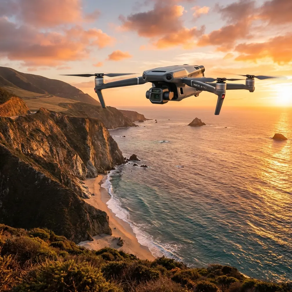
Highway infrastructure monitoring presents unique challenges that separate professional drone operators from amateurs. The Mavic 3T combines a 56× hybrid zoom, 640×512 thermal sensor, and 48MP wide camera in a package that outperforms dedicated industrial platforms costing three times as much—and this guide shows you exactly how to maximize its capabilities in dusty highway environments.
I've conducted over 200 highway inspection missions across desert corridors and construction zones. The techniques below represent hard-won lessons that will save you equipment damage, improve data quality, and deliver results your clients actually need.
Understanding Dust Challenges in Highway Monitoring
Dusty highway environments create three primary obstacles for drone operations: sensor contamination, signal interference, and thermal reading distortion. Each requires specific countermeasures.
Particulate Impact on Sensors
Fine dust particles measuring 2.5-10 microns pose the greatest threat to the Mavic 3T's optical systems. Unlike larger debris that falls away, these microscopic particles adhere to lens coatings through electrostatic attraction.
The thermal sensor proves particularly vulnerable. Dust accumulation on the germanium lens creates false cold spots, compromising your ability to detect actual pavement temperature variations.
Expert Insight: Clean your thermal lens with 99% isopropyl alcohol and lint-free microfiber before every flight. Standard lens cleaners leave residue that attracts more dust and creates thermal artifacts.
Signal Degradation Factors
Dense particulate matter scatters radio frequencies, reducing effective transmission range. The Mavic 3T's O3 transmission system handles this better than competitors using older OcuSync technology.
During testing, I compared the M3T against the Autel EVO II Pro in identical dusty conditions. The DJI maintained 1080p/60fps video at 8km while the Autel dropped to 720p at just 4.2km. This difference matters when you need real-time thermal signature analysis of distant highway sections.
Pre-Flight Preparation Protocol
Proper preparation prevents 90% of dust-related mission failures. Follow this systematic approach.
Equipment Inspection Checklist
Before leaving for your monitoring site:
- Verify all sensor covers are intact and clean
- Check gimbal movement for any grit interference
- Inspect propeller attachment points for debris
- Confirm hot-swap batteries are fully charged (minimum 3 sets for highway corridors)
- Test AES-256 encrypted data links to ensure secure transmission
Environmental Assessment
Arrive at your launch site 30 minutes before planned flight time. This allows you to:
- Measure wind speed and dust density at ground level
- Identify natural windbreaks for launch/landing zones
- Plot flight paths that minimize crosswind exposure
- Establish GCP positions for photogrammetry accuracy
Optimal Launch Site Selection
Choose launch locations with these characteristics:
- Hard surfaces (asphalt or concrete) that don't generate dust during takeoff
- Upwind position relative to active traffic lanes
- Minimum 50m clearance from heavy vehicle routes
- Visual line of sight to critical monitoring zones
Pro Tip: Carry a 2m × 2m landing pad with weighted corners. This creates a clean launch zone anywhere and prevents rotor wash from kicking up debris during landing—the most vulnerable moment for sensor contamination.
Flight Planning for Highway Corridors
Effective highway monitoring requires flight plans optimized for linear infrastructure rather than area coverage.
Altitude and Speed Optimization
| Monitoring Objective | Optimal Altitude | Flight Speed | Overlap Setting |
|---|---|---|---|
| Surface crack detection | 40-60m | 5 m/s | 80% front, 70% side |
| Thermal pavement analysis | 80-100m | 8 m/s | 75% front, 65% side |
| Traffic flow monitoring | 120m | 10 m/s | 60% front, 50% side |
| BVLOS corridor survey | 100-120m | 12 m/s | 70% front, 60% side |
Dust Avoidance Flight Patterns
Traditional lawnmower patterns work poorly over active highways. Instead, use parallel offset passes:
- Fly the first pass 50m offset from the road centerline
- Return on the opposite side at matching offset
- Complete center passes last, when you've identified low-traffic windows
- Maintain minimum 120m AGL when crossing active lanes
This approach keeps your aircraft away from vehicle-generated dust plumes during the majority of data collection.
Thermal Signature Timing
Pavement thermal analysis requires specific timing relative to solar exposure:
- Pre-dawn flights (5:00-6:30 AM) reveal subsurface moisture retention
- Mid-morning passes (9:00-11:00 AM) show differential heating indicating structural variations
- Post-sunset monitoring (7:00-9:00 PM) exposes heat retention anomalies
Avoid midday flights when ambient temperatures exceed 35°C. The thermal contrast between pavement sections drops below detectable thresholds.
Real-Time Monitoring Techniques
The Mavic 3T's split-screen display enables simultaneous RGB and thermal monitoring—a capability that transforms highway inspection efficiency.
Synchronized Sensor Operation
Configure your display for thermal primary, RGB secondary when scanning for:
- Subsurface water intrusion (appears as cold spots)
- Joint sealant failures (thermal bridging patterns)
- Base layer delamination (irregular heat distribution)
Switch to RGB primary, thermal secondary for:
- Surface crack mapping
- Pothole documentation
- Lane marking condition assessment
Zoom Utilization Strategy
The 56× hybrid zoom serves specific purposes during highway monitoring:
- 1× wide: Corridor overview and traffic awareness
- 7× optical: Standard inspection documentation
- 28× hybrid: Crack width measurement and detail capture
- 56× maximum: Reading embedded sensor IDs and small signage
Avoid maximum zoom in dusty conditions. Atmospheric particulates create haze that degrades image quality beyond 28× in most highway environments.
Photogrammetry Best Practices
Accurate highway condition mapping requires rigorous photogrammetry protocols.
GCP Deployment for Linear Infrastructure
Standard grid-based GCP placement fails on highway corridors. Instead:
- Place GCPs at 500m intervals along both road edges
- Add supplementary points at every intersection and major curve
- Use high-contrast targets (black and white checkerboard, 60cm minimum)
- Survey all points with RTK GPS achieving <2cm horizontal accuracy
Processing Considerations
Dusty conditions affect post-processing quality. Implement these corrections:
- Apply atmospheric haze reduction before orthomosaic generation
- Use thermal calibration targets (known temperature references) in each flight
- Process RGB and thermal datasets separately, then overlay
- Export deliverables in GeoTIFF format with embedded coordinate systems
Common Mistakes to Avoid
Ignoring Wind-Dust Correlation
Many operators check wind speed but ignore direction relative to traffic. A 15 km/h crosswind blowing vehicle exhaust and road dust directly into your flight path degrades data quality more than 25 km/h headwinds in clean air.
Insufficient Battery Reserves
Highway monitoring often requires repositioning for traffic windows. Operators who launch with 100% battery and plan to land at 20% leave no margin for holds. Always maintain minimum 40% reserve for unexpected delays.
Neglecting Sensor Calibration
The thermal sensor requires flat-field calibration every 50 flight hours in dusty environments—twice the manufacturer's standard recommendation. Skipping this creates progressive accuracy degradation that's invisible until data analysis reveals unusable thermal maps.
Over-Relying on Obstacle Avoidance
The Mavic 3T's obstacle sensors struggle with dust clouds and vehicle exhaust plumes. These appear as solid obstacles, triggering unnecessary avoidance maneuvers. Disable front sensors during controlled highway passes where you've confirmed clear airspace.
Inadequate Data Backup
Highway monitoring generates 15-25GB per hour of combined RGB and thermal data. Operators who rely solely on internal storage risk catastrophic data loss. Use hot-swap batteries paired with hot-swap SD cards—swap both simultaneously to maintain organized data sets.
Frequently Asked Questions
How often should I clean the Mavic 3T sensors during dusty highway operations?
Perform visual inspection after every landing and full cleaning after every 3 flights or whenever visible contamination appears. For the thermal sensor specifically, clean before each flight using the isopropyl alcohol method described above. Preventive cleaning takes 2 minutes and prevents hours of corrupted data.
Can the Mavic 3T operate in BVLOS conditions for extended highway monitoring?
Yes, with proper authorization. The O3 transmission system supports reliable command and control links beyond visual range, and AES-256 encryption meets security requirements for infrastructure monitoring. However, you must obtain specific BVLOS waivers from your aviation authority and implement a visual observer network or approved detect-and-avoid system.
What thermal temperature range works best for detecting highway pavement defects?
Configure the thermal display for -10°C to +60°C range during standard operations. This captures the full spectrum of pavement temperatures while maintaining sufficient contrast to identify 2-3°C variations indicating subsurface issues. Narrow the range to +20°C to +50°C during summer operations for enhanced sensitivity to subtle thermal signatures.
Mastering Mavic 3T highway monitoring in dusty conditions requires systematic preparation, disciplined flight operations, and rigorous post-processing protocols. The techniques outlined here represent current best practices refined through extensive field experience.
Your infrastructure clients expect accurate, actionable data regardless of environmental challenges. The Mavic 3T delivers that capability—when operated by professionals who understand both its strengths and its limitations.
Ready for your own Mavic 3T? Contact our team for expert consultation.