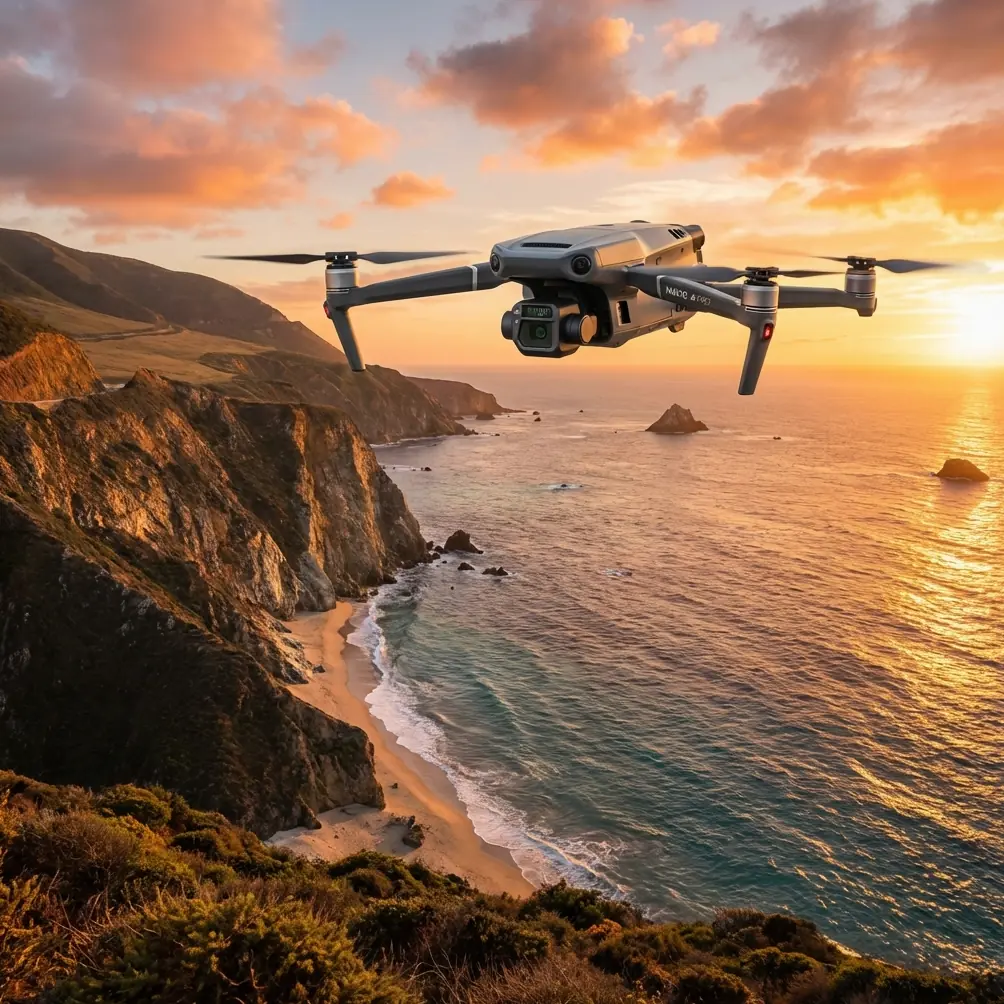
Monitoring Urban Highways with the Mavic 3T
Monitoring Urban Highways with the Mavic 3T: A Practical Field Method That Holds Up When Weather Turns
META: A field-focused how-to for using the DJI Mavic 3T to monitor urban highways, combining thermal imaging, visual inspection, O3 transmission, AES-256 security, and smart battery planning in changing weather.
Urban highway monitoring looks simple from a distance. Put a drone in the air, fly the corridor, collect imagery, and review the footage later. In practice, it is one of the more demanding civilian drone jobs because everything changes at once: traffic flow, reflected heat from asphalt, wind tunnels between buildings, GPS behavior near overpasses, and the constant need to work without disrupting the road network below.
That is where the Mavic 3T earns its place. Not because it is the biggest aircraft in the category. It is not. It works because it combines a compact deployment footprint with a thermal payload, a visual camera suite, stable transmission, and operational security features that matter when you are flying over dense infrastructure in a city. For teams responsible for highway condition awareness, incident verification, drainage checks, bridge approach inspection, or traffic-pattern observation, the platform can cover a lot of ground without turning the mission into a major field operation.
I approach this as a repeatable method rather than a spec-sheet exercise. If you are using the Mavic 3T for monitoring highways in an urban environment, here is how to plan, launch, adapt mid-flight when weather shifts, and bring back data that is actually useful.
Start with the mission objective, not the aircraft
The first mistake I see is treating “highway monitoring” as one task. It is several different tasks that only happen in the same corridor.
On one day, you may be looking for standing water near drainage inlets after rain. On another, you may need to inspect expansion joints, shoulder failures, barrier alignment, or heat anomalies from electrical cabinets and roadside equipment. In heavy summer conditions, thermal signature analysis can help separate surface temperature patterns from suspected trouble spots. In lower light, thermal can also help you confirm whether a stopped vehicle is still occupied or simply abandoned from a distance, without pushing the aircraft unnecessarily close.
The Mavic 3T is especially useful when the job requires both visible and thermal context in one sortie. A thermal image alone rarely tells the whole story on a highway. Hot asphalt, sun-warmed concrete, vehicle exhaust, and shaded sections under flyovers can all distort interpretation. Pairing thermal with optical observation lets you decide whether a warm patch is a drainage issue, a recent traffic stop, solar loading, or simply a material difference in the road surface.
That pairing matters operationally. It reduces wasted follow-up trips. It also helps maintenance teams prioritize actual defects instead of chasing false positives.
Build the flight plan around corridor logic
Urban highways are linear systems, but they are not uniform. A useful plan divides the route into operational segments:
- interchanges and merge zones
- bridge approaches and elevated sections
- drainage-sensitive low points
- noise barriers and retaining walls
- service roads and frontage access points
- overhead signage and lighting infrastructure
This segmentation helps you decide when to fly for broad situational awareness and when to slow down for detailed observation. The Mavic 3T is compact enough to reposition quickly between launch points, which is often more efficient than trying to cover a very long route from a single takeoff area in a city.
For visual consistency, I recommend predefined altitude bands by segment type. Elevated structures need one viewing geometry. Wide multi-lane sections need another. If the data may later support photogrammetry for condition tracking or asset documentation, keep your geometry disciplined. Overlap, viewing angle, and speed should not drift randomly because the corridor “looks simple.” If you intend to compare imagery over time, consistency is everything.
This is also the moment to decide where GCPs fit into the workflow. On active highways, placing ground control points can be impractical or unsafe in many zones, but in adjacent service areas, maintenance lay-bys, or controlled access points, a limited GCP strategy can still improve geospatial reliability for repeat mapping tasks. Not every monitoring mission needs survey-grade output, but when departments start comparing shoulder movement, embankment changes, or drainage deformation over time, tighter spatial control becomes valuable.
Use thermal deliberately, not continuously
The thermal sensor is one of the reasons the Mavic 3T is attractive for infrastructure work, but highway teams often overuse it. Thermal is strongest when you know what you are trying to separate.
Good urban-highway thermal tasks include:
- identifying water retention patterns after weather events
- checking roadside electrical equipment for unusual heat behavior
- spotting surface temperature irregularities that may justify closer visual inspection
- detecting heat loss or moisture patterns around joints, culverts, and drainage paths
- supporting dawn, dusk, or low-visibility assessments when the visual scene is cluttered
Thermal becomes less reliable when the road surface has been heavily solar loaded for hours. Midday in summer, a six-lane asphalt corridor can become a confusing blanket of heat. In that case, the Mavic 3T still helps, but only if the pilot understands thermal context. A hot patch is not automatically a defect. It may simply be a darker resurfaced lane segment holding temperature differently from older pavement nearby.
The better workflow is comparative. Use thermal to flag anomalies, then verify with the visual sensor and the site context. This prevents maintenance teams from being sent to inspect what turns out to be normal material variation.
Why O3 transmission matters more in a city than many people admit
Urban highway missions are hard on signal quality. You are dealing with moving vehicles, reflective surfaces, overpasses, concrete barriers, high-rise interference, and occasional line-of-sight challenges depending on your launch position. The Mavic 3T’s O3 transmission system matters here because stable video and control feedback directly affect decision quality.
On a rural corridor, a brief dip in link quality may be an annoyance. In a city, it can disrupt your ability to hold a clean inspection line near complex structures or to verify a thermal anomaly before moving on. Reliable transmission means you spend less time second-guessing what you saw and less time making unnecessary passes.
The operational benefit is not just pilot comfort. It is data confidence. If a highway authority is asking whether a drainage channel is blocked, whether a crash cushion appears displaced, or whether thermal irregularity near a utility cabinet warrants an electrician visit, those judgments depend on clear, uninterrupted observation.
Security is not optional on infrastructure flights
When teams discuss drone capability, they often focus on cameras and battery life. For urban infrastructure, data security deserves equal attention. The Mavic 3T supports AES-256, and that is not a footnote. Highway monitoring often involves sensitive infrastructure layouts, traffic patterns, maintenance access routes, and imagery of adjacent commercial properties. Securing that data chain matters for governance, contractor compliance, and internal risk management.
AES-256 has operational significance because it strengthens confidence in the handling of transmitted and stored mission data. For municipal agencies, engineering consultants, and infrastructure operators, that can affect approval pathways just as much as flight performance does. A technically capable drone that creates data-handling concerns becomes harder to deploy at scale.
What happened when the weather changed mid-flight
Let me describe a realistic scenario, because this is where paper planning meets the real job.
We were running a late-afternoon monitoring pass along an urban expressway segment with elevated ramps and a known drainage trouble area beneath one interchange. The original objective was straightforward: collect visual and thermal observations after a humid day with intermittent sun, then compare the thermal pattern near the drainage low point with imagery from the previous week.
About halfway through the mission, conditions changed faster than forecast. Wind picked up along the elevated section, and a bank of cloud moved across the corridor. That did two things immediately. First, the thermal scene changed. Asphalt that had been heavily heated started cooling unevenly as shade spread across different lane sections. Second, the aircraft’s working environment became less forgiving near the bridge approach where airflow tends to shear around structures.
This is exactly the kind of moment where operators either force the original plan or adapt.
With the Mavic 3T, the right move was to reframe the sortie. Instead of chasing the entire planned corridor at the original speed, we tightened the mission area, held a safer working profile, and focused on the assets most likely to yield meaningful comparison data under the new conditions. The transmission link remained stable enough through O3 to keep the image feed dependable while repositioning. That matters, because when weather shifts mid-flight, uncertainty compounds quickly if your downlink becomes unreliable too.
The cloud cover actually improved one part of the mission. Once direct solar loading dropped, the thermal view over the drainage-sensitive low point became easier to interpret. The temperature contrast between pooled moisture zones and the surrounding pavement was less masked by surface heat. What looked ambiguous twenty minutes earlier became clearer after the weather moved in.
This is a point worth stressing: bad weather and changed weather are not the same thing. A weather shift can degrade one objective while improving another. Pilots using the Mavic 3T for highway work should think dynamically. Do not ask, “Can I continue the original route exactly as planned?” Ask, “Given the new conditions, what data is now more valuable and what is no longer worth forcing?”
Battery discipline matters even if the aircraft is efficient
The Mavic 3T is practical because it keeps field logistics lighter than larger enterprise platforms, but urban highway work still punishes weak battery planning. Corridor missions create a false sense of linear progress. You move down the route, get absorbed in the inspection, and forget that returning from the far end may involve headwind, vertical repositioning around structures, and safer route adjustments to avoid visual clutter or temporary obstacles.
This is where teams should think in terms of battery rotation and hot-swap workflow at the ground operation level, even if the aircraft itself is not a large dock-based system. The key is minimizing dead time between sorties. If your mission requires repeated launches from multiple roadside-safe positions, your field process should make battery exchanges, card handling, and image review quick and disciplined.
Operationally, this matters because the best window for thermal work may be short. If the weather shifts, cloud cover arrives, or traffic conditions create a temporary opening, you do not want the mission bottleneck to be disorganized battery management.
BVLOS talk should stay grounded in reality
BVLOS comes up often in corridor operations because highways are linear and tempting to follow over distance. In theory, urban highway monitoring is a strong use case for extended corridor flight. In practice, BVLOS in a city is a regulatory, operational, and risk-heavy topic. The right mindset is not to assume it, but to design missions that remain useful under current permissions and local procedures.
For most teams, the smart approach is to master segmented visual-line-of-sight operations first: consistent launch site selection, standardized capture patterns, secure handoffs, and clean data stitching between route sections. That discipline pays off regardless of whether expanded operational approvals come later.
Turn imagery into maintenance decisions
A successful Mavic 3T highway mission is not measured by flight time or by how much footage you collected. It is measured by whether the outputs change maintenance action.
I recommend structuring post-flight review into three layers:
1. Immediate operational findings
Examples: standing water, barrier damage, unusual heat in roadside equipment, debris accumulation near culbs or drains, lane-surface anomalies needing ground verification.
2. Repeat-observation assets
Examples: recurring thermal hotspots, crack expansion zones, slope or shoulder changes, repeated water pooling after similar weather conditions.
3. Mapping and archive value
If the imagery quality and geometry support photogrammetry, retain it in a way that can feed future corridor documentation. Today’s inspection pass can become tomorrow’s baseline.
This is where many teams discover the Mavic 3T has more value than they expected. It is not only an incident-response or quick-look tool. Used consistently, it becomes part of a larger infrastructure intelligence workflow.
A practical field checklist for urban highway teams
Before launch, confirm:
- objective by segment, not just route
- expected thermal conditions by time of day
- safe launch and recovery points away from traffic conflict
- image capture pattern if photogrammetry may be needed later
- GCP strategy where controlled placement is feasible
- battery rotation plan and data handling sequence
- transmission environment and likely interference zones
- secure data workflow aligned with AES-256 protections
During flight, watch for:
- thermal interpretation shifts caused by sun, cloud, or fresh rain
- airflow changes around elevated ramps and structures
- reflective clutter that can mislead visual judgment
- unnecessary speed that ruins comparative data quality
- corridor drift that makes repeat surveys hard to compare later
After flight, document:
- what changed due to weather
- what thermal anomalies were visually confirmed
- what needs immediate maintenance review
- what should be re-flown under different lighting or surface conditions
If your team is refining this type of workflow and needs a practical second opinion, you can message a Mavic 3T specialist here.
The real advantage of the Mavic 3T on highways
The Mavic 3T is not valuable because it does one dramatic thing. It is valuable because it fits the reality of urban infrastructure work: quick deployment, thermal plus visual context, dependable O3 transmission in cluttered environments, and AES-256 security for sensitive corridor data. Add disciplined mission planning, and it becomes a serious tool for highway monitoring rather than just a flying camera.
When weather turns mid-flight, that balance becomes even more apparent. A capable aircraft helps, but the real win is that the platform gives the operator enough flexibility to change priorities without losing data quality. On highways, that is often the difference between a flight that looks productive and one that actually informs the next maintenance decision.
Ready for your own Mavic 3T? Contact our team for expert consultation.