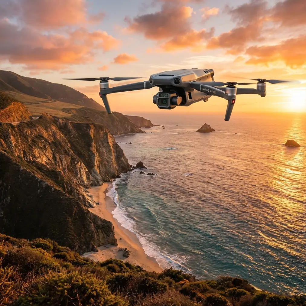
Mavic 3T Guide: Monitoring Solar Farms Remotely
Mavic 3T Guide: Monitoring Solar Farms Remotely
META: Discover how the DJI Mavic 3T transforms remote solar farm monitoring with thermal imaging and precision mapping. Expert tips for optimal inspections inside.
TL;DR
- Thermal signature detection identifies failing solar panels before they impact energy output, reducing maintenance costs by up to 40%
- The optimal flight altitude of 60-80 meters balances thermal resolution with coverage efficiency for comprehensive solar array scanning
- O3 transmission technology enables reliable BVLOS operations across sprawling remote installations
- Integrated photogrammetry capabilities eliminate the need for multiple drone platforms during inspections
The Challenge of Remote Solar Farm Monitoring
Solar farms in remote locations present unique operational headaches. Traditional ground-based inspections require technicians to walk miles of panel rows, often in extreme heat, while missing subtle defects invisible to the naked eye.
A single underperforming panel can drag down an entire string's output. Multiply that across thousands of panels spread over hundreds of acres, and you're looking at significant revenue loss that compounds daily.
The Mavic 3T addresses these challenges with a purpose-built thermal and visual inspection platform. This guide breaks down exactly how to deploy it effectively for solar farm monitoring, including the flight parameters and workflows that maximize defect detection rates.
Why Thermal Imaging Transforms Solar Inspections
Understanding Thermal Signature Analysis
Every solar panel generates heat during operation. Healthy panels distribute this heat evenly across their surface. Defective cells, damaged connections, and degraded components create thermal anomalies—hot spots that stand out dramatically in infrared imagery.
The Mavic 3T's 640 × 512 thermal sensor captures these signatures with enough resolution to identify individual cell failures. The camera's temperature measurement range of -20°C to 150°C covers the full operational spectrum of photovoltaic systems.
Expert Insight: Schedule thermal inspections during peak irradiance hours—typically between 10 AM and 2 PM local solar time. Panels must be under load to generate the thermal differentials that reveal defects. Overcast conditions actually improve detection by eliminating reflective interference.
Common Defects Detectable via Thermal Imaging
The Mavic 3T reliably identifies these solar panel issues:
- Hot spots from cell degradation or manufacturing defects
- Substring failures appearing as geometric heat patterns
- Bypass diode failures showing as overheated junction boxes
- Soiling and debris accumulation creating localized temperature increases
- Delamination visible as irregular thermal boundaries
- Connection failures at string inverter interfaces
Each defect type produces a characteristic thermal pattern. With practice, operators can classify issues in real-time during flight operations.
Optimal Flight Parameters for Solar Farm Surveys
Altitude Selection: The Critical Variable
Flight altitude directly impacts both thermal resolution and survey efficiency. Flying too high sacrifices the detail needed to identify small defects. Flying too low extends mission duration and battery consumption beyond practical limits.
For the Mavic 3T's thermal sensor specifications, 60-80 meters AGL represents the sweet spot for solar farm inspections. At this altitude range:
- Ground sampling distance remains under 7 cm per pixel for thermal data
- Each frame captures approximately 8-12 panel rows depending on array configuration
- Flight time covers 15-20 acres per battery under typical conditions
Pro Tip: Use hot-swap batteries to maintain continuous operations across large installations. The Mavic 3T's quick-release battery system allows sub-60-second swaps, minimizing thermal data gaps that complicate post-processing alignment.
Flight Pattern Optimization
Solar arrays demand specific flight patterns for complete coverage:
- Parallel grid patterns aligned with panel row orientation
- 70% front overlap for thermal imagery stitching
- 60% side overlap to ensure no gaps between passes
- Consistent altitude maintained via terrain-following when available
The aircraft's mechanical shutter on the wide-angle camera enables higher flight speeds without motion blur, but thermal capture benefits from moderate speeds of 5-7 m/s to maximize frame quality.
Technical Comparison: Mavic 3T vs. Alternative Platforms
| Feature | Mavic 3T | Enterprise Thermal Drones | Fixed-Wing Thermal |
|---|---|---|---|
| Thermal Resolution | 640 × 512 | 320 × 256 typical | 640 × 512 |
| Flight Time | 45 minutes | 25-35 minutes | 60+ minutes |
| Portability | Foldable, 920g | Case-required, 2-4 kg | Vehicle transport |
| Transmission Range | 15 km O3 | 5-8 km typical | 10-20 km |
| Setup Time | Under 5 minutes | 10-15 minutes | 20-30 minutes |
| GCP Requirements | Optional RTK | Required for accuracy | Required for accuracy |
| Data Security | AES-256 encryption | Varies by manufacturer | Varies by manufacturer |
| BVLOS Capability | Supported with waiver | Limited | Designed for BVLOS |
The Mavic 3T occupies a unique position—offering enterprise-grade thermal capabilities in a platform portable enough for single-operator deployment to remote sites.
Photogrammetry Integration for Comprehensive Asset Management
Beyond Thermal: Visual Documentation
While thermal imaging identifies immediate defects, photogrammetry creates the spatial framework for long-term asset management. The Mavic 3T's 48 MP wide camera captures the visual detail needed for:
- Orthomosaic generation showing panel positioning and orientation
- 3D terrain models for drainage analysis and vegetation encroachment monitoring
- Change detection between inspection cycles
- Insurance documentation and regulatory compliance records
GCP Placement Strategy
For sub-centimeter accuracy in remote locations without RTK base station access, ground control points remain essential. Deploy GCPs according to these guidelines:
- Minimum 5 points distributed across the survey area
- Corner placement plus one central point for basic surveys
- Additional points every 200 meters for large installations
- High-contrast targets visible in both thermal and visual spectrums
The Mavic 3T's dual-camera system captures GCPs simultaneously in both datasets, simplifying the alignment process during post-processing.
Data Security Considerations for Remote Operations
Solar farms often connect to critical grid infrastructure. The data captured during inspections—including facility layouts, security vulnerabilities, and operational patterns—requires protection.
The Mavic 3T implements AES-256 encryption for all data transmission between aircraft and controller. Local data mode options allow complete disconnection from internet services during sensitive operations.
For organizations with strict data handling requirements:
- Enable Local Data Mode before arriving on site
- Format SD cards using the controller interface, not external computers
- Transfer data via direct cable connection rather than wireless methods
- Maintain chain of custody documentation for regulatory compliance
Common Mistakes to Avoid
Flying during suboptimal thermal conditions Morning inspections before panels reach operating temperature produce unreliable thermal data. Wait until arrays have been generating power for at least 2 hours before beginning thermal surveys.
Ignoring wind effects on thermal readings Wind speeds above 15 km/h create convective cooling that masks thermal anomalies. Check forecasts and reschedule if necessary—the data quality difference is substantial.
Insufficient overlap for thermal stitching Thermal imagery requires higher overlap percentages than visual surveys. The lower resolution means fewer tie points for alignment algorithms. Budget for 20% more flight time than visual-only missions.
Neglecting calibration verification Thermal sensors drift over time. Verify calibration against known temperature references before critical inspections. The Mavic 3T's automatic calibration helps, but manual verification catches issues before they corrupt datasets.
Single-pass coverage assumptions Complex array geometries with varying panel orientations require multiple flight patterns. A single grid pattern misses defects on panels angled away from the flight path. Plan perpendicular passes for complete coverage.
Frequently Asked Questions
What weather conditions prevent effective solar farm thermal inspections?
Rain, heavy cloud cover, and high winds all compromise thermal inspection quality. Light clouds are acceptable, but direct sunlight produces the clearest thermal differentiation. Wind speeds above 20 km/h should trigger mission postponement. Early morning fog clears by mid-morning in most regions, so delayed starts often salvage otherwise problematic days.
How often should solar farms undergo drone thermal inspection?
Quarterly inspections catch most developing issues before they cause significant output losses. High-value installations or those with known reliability issues benefit from monthly surveys. Annual inspections represent the minimum for warranty compliance and insurance documentation. The Mavic 3T's rapid deployment capability makes increased inspection frequency economically viable.
Can the Mavic 3T inspect solar farms during active power generation?
Active generation is actually required for meaningful thermal inspection. Panels must be producing power to generate the thermal signatures that reveal defects. The Mavic 3T's sensors are calibrated for the temperature ranges typical of operating photovoltaic systems. Schedule inspections during peak production hours for optimal defect visibility.
Implementing Your Solar Farm Monitoring Program
Successful remote solar farm monitoring combines the right equipment with systematic operational procedures. The Mavic 3T provides the thermal sensitivity, flight endurance, and data security features that professional solar inspections demand.
Start with a pilot program on a single installation to develop your workflows and train operators on defect recognition. Document your flight parameters, environmental conditions, and detection results to build institutional knowledge that improves efficiency over time.
The investment in drone-based thermal monitoring pays dividends through early defect detection, reduced truck rolls to remote sites, and comprehensive documentation that supports maintenance planning and warranty claims.
Ready for your own Mavic 3T? Contact our team for expert consultation.