Mavic 3T Guide for Urban Venue Monitoring: What a 1
Mavic 3T Guide for Urban Venue Monitoring: What a 1,000 km Highway Mapping Case Really Teaches Us
META: A practical expert guide to using the Mavic 3T for urban venue monitoring, drawing lessons from a real DJI road inspection project that processed 114,043 images and delivered 8TB of data on schedule.
Urban venue monitoring with the Mavic 3T is often framed as a simple overwatch job. Put the aircraft up, scan the perimeter, identify heat anomalies, land, repeat. That thinking leaves performance on the table.
The more useful way to approach the Mavic 3T is to treat it as a decision-making tool built for structured data collection under time pressure. A revealing benchmark comes from a DJI-backed roadway inspection project in Mexico. The aircraft in that case was not a Mavic 3T at all, but a Phantom 3 Professional working with DroneDeploy. Even so, the operational lessons transfer directly. The team mapped more than 1,000 kilometers of highway in just 3 weeks, processed 114,043 images, generated 869 orthomosaic outputs, and delivered 8TB of high-definition road imagery on time. Most striking was the labor compression: the work was completed with one computer, a DJI drone setup, and cloud software rather than the 16 computers and 16 staff that would normally have been needed.
Why does that matter to someone monitoring venues in a dense city environment with a Mavic 3T? Because the hard part is rarely the flight. It is the system behind the flight: planning repeatable capture, identifying what actually deserves attention, and turning raw imagery into something useful before the operational window closes.
This guide is about doing that well.
Start with the mission, not the aircraft
Urban venue monitoring usually involves one or more of these requirements:
- perimeter checks before opening
- rooftop and façade scans
- crowd flow observation in adjacent public areas
- thermal checks for HVAC, electrical hotspots, or abnormal heat presence
- after-hours incident review
- repeatable documentation for facility teams and contractors
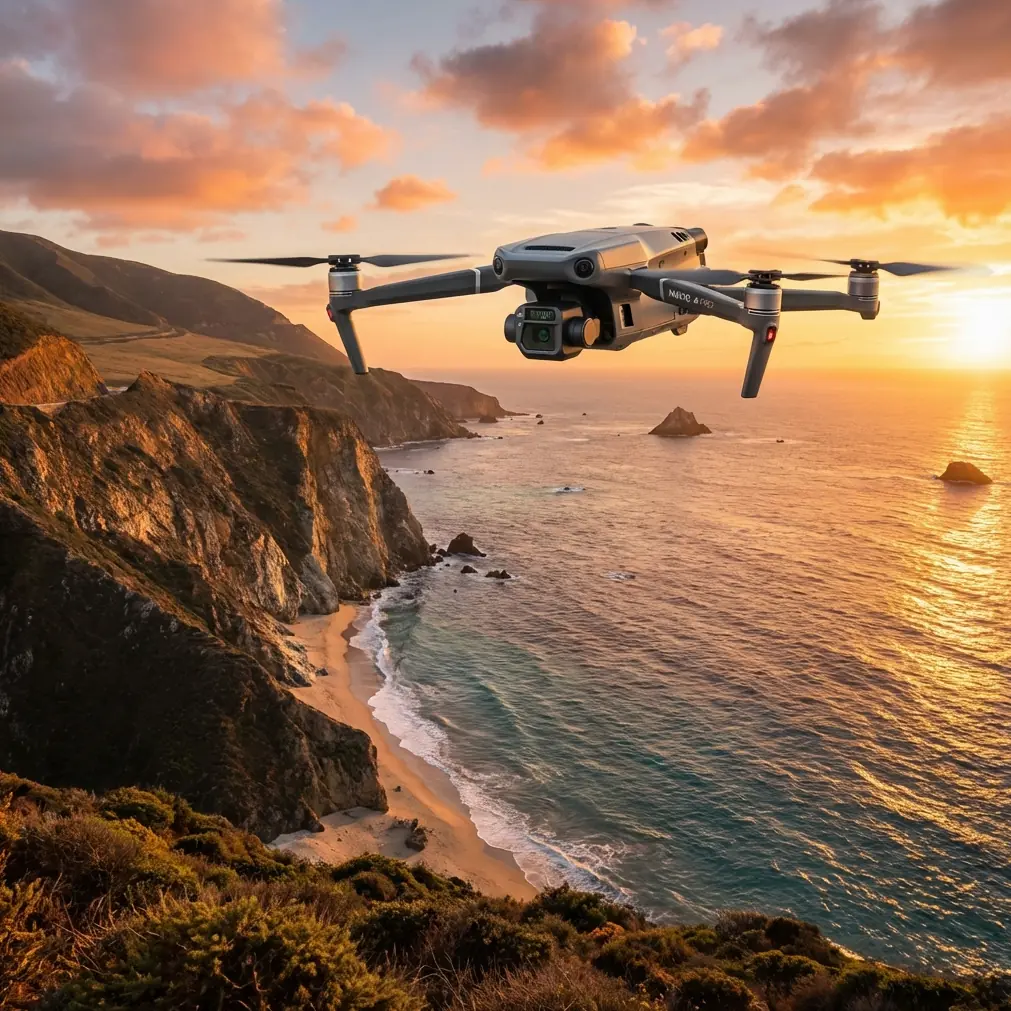
The Mavic 3T fits this environment because it combines visible imaging, thermal sensing, compact deployment, and fast repositioning. But the aircraft only becomes valuable when the mission design is tight.
The Mexico highway case is useful here because it proves a basic truth: scale does not break a workflow if the workflow is built around disciplined capture and efficient processing. A venue may be smaller than a highway network, but it is often more complicated. Tall structures, reflective glass, cluttered RF conditions, narrow airspace buffers, and uneven thermal backgrounds create a harder interpretation problem than open linear infrastructure.
So your first job is not to “fly and see.” Your first job is to define what a successful dataset looks like.
Build two capture layers: thermal screening and photogrammetry-grade visible imaging
For venue monitoring, the Mavic 3T is strongest when used in two layers.
Layer 1: thermal screening
Use thermal to identify change, not to make every final judgment. A thermal signature can quickly reveal:
- rooftop mechanical units running abnormally hot
- electrical panels or cable routes showing potential stress
- heat leaks near doors, skylights, and service penetrations
- unusual warm spots in restricted service corridors
- post-event cleanup issues, such as compactors or waste areas retaining excessive heat
In a city venue, thermal is also your fastest triage tool during short flight windows. You can cover a broad area, mark anomalies, then revisit those points with the visual camera for confirmation.
This is where the Mavic 3T’s compact deployment matters. In urban operations, minutes count. You often have a narrow slot before deliveries start, before rooftop maintenance crews arrive, or before the venue opens to the public.
Layer 2: visible capture for traceable documentation
The highway team processed 114,043 photos and produced 869 orthomosaic maps. That level of image discipline is the real lesson. Even if your venue job is far smaller, you should think in the same structured way.
If you need repeatable, defensible visual records, fly planned passes with consistent overlap so the images can support photogrammetry, side-by-side comparison, or at least a stable historical archive. This is where GCP strategy may come in for larger campuses or where precise repeatability matters. On an urban venue with limited open space, you may not always deploy full ground control, but even a few reference checkpoints can sharpen consistency across recurring inspections.
The point is simple: thermal tells you where to look. Structured visible capture tells you what changed and where.
Why urban venue teams should care about a project completed in 3 weeks
The Mexico operation covered over 1,000 kilometers in 3 weeks. For a venue manager, that number sounds distant from daily operations. It should not.
That schedule demonstrates how much value comes from compressing the chain between capture and delivery. In venue monitoring, the bottleneck is often internal. Teams collect footage but fail to convert it into action. Files sit on SD cards. Thermal clips are reviewed too late. Reports become screenshots in email threads.
A better model is to treat every sortie as part of a production pipeline:
- define the route
- capture with repeatability
- tag anomalies immediately
- offload and secure data
- produce a short, usable report the same day
The old road project showed that cloud-enabled drone workflows can replace what once required far more hardware and staffing. That matters now because urban venue teams are usually lean. They do not have a dedicated geospatial department. They need a process one trained pilot or one facilities coordinator can actually run without a dozen support staff.
The Mavic 3T is well suited to that lean model.
Route design for venue monitoring
A practical urban venue mission normally breaks into four route types.
1. perimeter orbit and fence-line sweep
Use this before opening hours or before major events. Fly a predictable route around site boundaries and adjacent access points. Thermal can help detect abnormal heat near loading docks, utility cabinets, or enclosed service corners that are hard to inspect from ground level.
2. rooftop grid
This is where thermal screening earns its keep. HVAC units, exhaust systems, solar arrays, and drainage zones all create patterns. Your job is not just to spot a hot component. It is to understand whether that heat pattern differs from the baseline from previous flights.
3. façade and upper-structure pass
Urban venues often have signage mounts, façade lighting, mounted equipment, and inaccessible upper edges. A controlled stand-off distance with visible and thermal review can reveal loose elements, moisture-linked thermal irregularities, or maintenance drift.
4. egress and service corridor review
After events, these areas tell a story. Heat residue from equipment, compact machinery, catering zones, and power distribution points can reveal where to inspect further on foot.
A small but real urban complication: wildlife
Sensors are only useful if the pilot respects the environment around the venue. One morning rooftop inspection I supervised involved gulls circling above a waterfront event structure. The thermal view was clean, but the visual feed showed one bird cutting across our intended climb path as we repositioned near an HVAC bank. We held altitude, slowed the lateral movement, and shifted the route to the opposite edge before resuming the pass. That sounds minor. It is not.
Urban wildlife encounters affect data quality and safety at the same time. Birds can force rushed repositioning, break overlap in a photogrammetry pass, or distract the pilot during anomaly confirmation. The operational lesson is to leave slack in the flight plan. Do not design a venue mission so tightly that one interruption ruins your capture sequence.
Transmission, data security, and why O3 and AES-256 matter in cities
Urban monitoring is rarely performed in ideal RF conditions. Venues sit among offices, hotels, residential towers, public Wi-Fi, private networks, and reflective building surfaces. Maintaining stable situational awareness matters more than marketing-range claims.
This is where reliable O3 transmission becomes operationally significant. In a congested urban environment, a stable link helps the pilot preserve framing during façade work, maintain confidence when checking rooftop thermal targets, and avoid wasting battery time on repositioning caused by signal instability.
Data security also matters more than many operators admit. Venue datasets may include building layouts, roof equipment locations, access routes, or maintenance-sensitive details. AES-256 protection is not just an IT checkbox. It reduces exposure when operational imagery is shared, stored, or transmitted across internal teams and contractors.
If your venue is part of a larger commercial property group, this becomes even more relevant. Drone imagery is often useful to multiple stakeholders. The more people who need the data, the tighter your handling discipline should be.
Battery planning: stop treating endurance as a brochure number
Venue monitoring flights are usually short, but city missions are deceptive. Hover checks, slow façade passes, thermal confirmation, wildlife pauses, and airspace caution all eat into endurance faster than expected.
That is why hot-swap batteries are a workflow advantage, not a convenience. If you can land, switch packs, and get back up without breaking the team’s review rhythm, your anomaly verification rate improves. You also reduce the temptation to stretch one battery too far just to finish a route.
A good practice is to assign battery roles:
- first pack for broad thermal screening
- second for close visual confirmation
- third for any re-fly required to fix overlap gaps or document a newly discovered issue
That kind of discipline is how you maintain repeatable outputs over weeks or months.
BVLOS talk in venue work: useful concept, limited practical relevance
BVLOS comes up often in drone discussions, but for urban venue monitoring it is usually less relevant than operators think. Most site-monitoring missions benefit more from controlled, close-range, line-of-sight operations with clean visual interpretation. The real gains come from route consistency and efficient processing, not from stretching distance.
Still, the mental model behind BVLOS planning can help. Think in terms of command reliability, contingency landing logic, communication discipline, and route segmentation. Those habits make even standard venue missions cleaner and safer.
Reporting: where most teams underperform
The Mexico case did not just capture imagery. It delivered usable outputs on time, including 8TB of HD road image data. That is the standard to remember: the work is not done when the drone lands.
For urban venue monitoring, a strong reporting package should include:
- a site overview image or map
- marked anomaly locations
- thermal and visible image pairs
- a severity rating
- a recommended ground follow-up action
- comparison against previous baseline if available
Avoid dumping raw files on the facility team. Give them decisions. If a rooftop unit shows an unusual heat pattern, note whether it is likely an urgent maintenance item, a trend to monitor, or a false positive caused by sun loading or reflective surfaces.
That interpretive layer is what separates drone footage from operational intelligence.
A practical field workflow for the Mavic 3T
Here is the method I recommend for urban venues:
Pre-flight
- review site restrictions and time window
- define objective: perimeter, rooftop, façade, or post-event scan
- load route plan if repeat mission
- verify battery rotation and storage availability
- confirm data handling protocol
Initial flight
- conduct a broad thermal screening pass
- flag suspect heat signatures
- maintain enough altitude and offset to preserve context
Second pass
- capture visible imagery of flagged targets
- if documentation quality matters, maintain overlap suitable for photogrammetry
- use fixed framing conventions for easy comparison next time
Post-flight
- offload immediately
- organize by route section and anomaly type
- create paired thermal/visible findings
- produce a short report before memory fades
If your team wants a tighter workflow for recurring venue checks, one practical next step is to message a drone specialist here and compare your current process against a repeatable inspection template.
What the old Phantom project says about the Mavic 3T today
It is easy to get distracted by model names and sensor generations. The more meaningful takeaway from the Mexico road project is that disciplined drone operations can collapse time, labor, and hardware requirements when the workflow is well designed.
A previous-generation DJI platform, paired with the right software process, helped complete what would otherwise have required 16 computers and 16 staff. That is not a story about nostalgia. It is a reminder that the aircraft is only one layer of performance.
With the Mavic 3T, urban venue teams now have a stronger field tool for mixed thermal and visual monitoring. But the same principles still decide the outcome:
- define a mission objective that can be measured
- capture data in a way that supports comparison
- use thermal for triage, not guesswork
- protect the link and the data
- plan battery changes around the job, not around hope
- report findings in a format facilities teams can act on immediately
Do that, and the Mavic 3T becomes far more than a flying camera over a building. It becomes a compact, repeatable monitoring system that helps venue operators see issues earlier, document them better, and respond before small defects become operational disruptions.
Ready for your own Mavic 3T? Contact our team for expert consultation.