Mavic 3T Field Report: Tracking Vineyard Stress
Mavic 3T Field Report: Tracking Vineyard Stress on a Mountain Slope When the Weather Turned
META: A field-based Mavic 3T report for mountain vineyard monitoring, covering thermal signature analysis, O3 transmission stability, AES-256 security, GCP workflow, and how shifting weather affects aerial decisions.
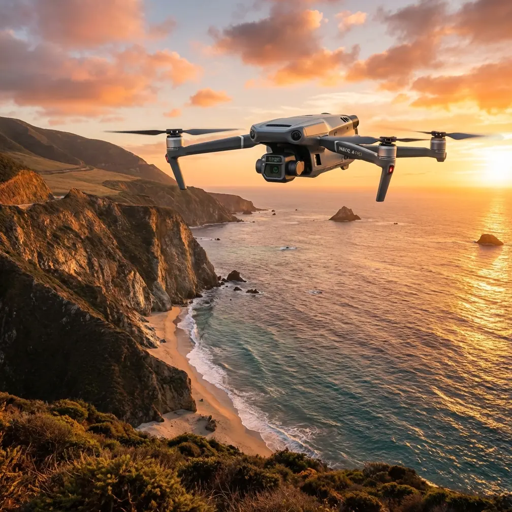
Mountain vineyards punish weak workflows. Steep rows distort distance, wind channels form without warning, and temperature can split dramatically between the lower blocks and the upper terraces in less than an hour. That is exactly where the Mavic 3T earns its place—not as a generic camera drone, but as a compact aircraft that can turn difficult terrain into usable agronomic intelligence when the mission is planned properly.
I have been asked more than once whether the Mavic 3T is truly practical for vineyard monitoring in elevation, especially when the objective is not just pretty imagery but actionable evidence. My answer is yes, with a qualification: it performs best when the operator understands what each sensor contributes, where its limits begin, and how weather can quickly change the mission profile. In a mountain vineyard, those distinctions matter.
This field report centers on a common scenario. A vineyard manager needs to inspect upper and mid-slope blocks after an irregular weather pattern. The lower section retained moisture from a recent system moving through the valley, while the higher rows spent longer under sun and wind exposure. Ground scouting suggested inconsistent vine vigor, but the site was too large and too steep for a reliable visual pass alone. The goal was to identify stress signatures, document drainage behavior, and produce imagery accurate enough to compare against prior surveys.
That is not one task. It is three different jobs in one flight window: thermal inspection, visible-spectrum assessment, and structured mapping support. The reason the Mavic 3T fits this kind of work is its ability to move between those needs without sending a larger team into difficult terrain.
The first operational advantage is obvious the moment the aircraft leaves the launch point: portability changes how often a team actually flies. On a mountain site, access is usually the first bottleneck. If the aircraft, batteries, charging gear, and landing equipment become cumbersome, flights get delayed or skipped. The Mavic 3T reduces that friction. That matters because vineyard issues rarely wait for the “ideal” survey day. You often need to launch in a narrow weather gap and collect enough data before cloud cover, wind, or temperature swing changes the reading.
For this mission, we launched in stable morning conditions with a plan to capture thermal passes before full solar loading altered leaf and soil temperatures too aggressively. Thermal signature interpretation in vineyards is always context-dependent. A warmer patch is not automatically a problem. It may reflect thinner canopy, exposed soil, irrigation inconsistency, rock heat retention, or airflow differences along the slope. The job is not to hunt for bright colors on a thermal screen. The job is to match thermal anomalies to vine structure, row position, and terrain behavior.
That is where the Mavic 3T’s multi-sensor approach becomes operationally useful. Thermal imagery alone can point you toward areas of concern, but pairing that view with detailed visual imagery lets you separate likely plant stress from environmental noise. In one upper terrace section, the thermal feed showed a repeating warm pattern across several rows. A less disciplined interpretation might have labeled it water stress immediately. The visible camera view suggested something else: canopy density was uneven where the rows bent around a rocky outcrop, and the exposed ground was radiating heat back into the scene. That distinction prevented a bad recommendation.
A second zone, however, told a different story. Mid-slope, the thermal signatures showed isolated warm clusters rather than continuous strips. In the visual pass, those clusters aligned with weaker leaf mass and a subtle variation in trellis development. On foot, that would have taken much longer to detect because the pattern only made sense from above. This is the real value proposition for vineyard managers. The Mavic 3T is not replacing field expertise; it is compressing the time needed to focus that expertise where it counts.
The mountain environment became more interesting halfway through the mission. A cloud bank moved in faster than forecast from the ridge line, and the temperature dropped enough to alter surface contrast. At the same time, wind direction shifted through the row corridors, creating intermittent turbulence near the upper blocks. This is the moment where platform reliability matters more than spec-sheet aesthetics.
The Mavic 3T handled the shift well, not because weather stops mattering, but because the aircraft gives the pilot enough situational confidence to adapt without abandoning the mission too early. O3 transmission was especially valuable here. In broken terrain, link stability is not a luxury. A mountain vineyard can create partial obstructions, signal reflections, and moments when line of sight becomes less clean than it appears from the launch point. A strong transmission system means the pilot can hold better awareness of aircraft position, image quality, and route continuity while deciding whether to continue a thermal segment or return and reposition. In this case, maintaining a stable feed during the weather shift allowed us to complete a reduced-area inspection of the upper block before descending to safer, calmer airspace for the remainder of the survey.
Security rarely gets discussed in vineyard operations, but it should. High-value agricultural sites increasingly treat geospatial data as sensitive information. Block condition, irrigation behavior, access routes, and yield-linked imagery are not trivial assets. The Mavic 3T’s AES-256 data security features matter in this context because vineyard mapping is no longer just about crop health; it is also about protecting operational intelligence. If you are documenting high-value slopes, proprietary cultivation patterns, or season-to-season stress trends, secure handling of airborne data is part of professional practice, not a technical footnote.
The next question is whether the Mavic 3T can support photogrammetry well enough for mountain vineyard analysis. The answer depends on how disciplined the workflow is. On steep terrain, elevation variation can degrade output quality if the mission is treated like a flat-field map. This is where GCP strategy becomes essential. Ground control points are not glamorous, but on terraced or angled vineyard parcels they help anchor the model and improve confidence in measurements, boundaries, and repeatability across surveys. If a manager wants to compare erosion development, row displacement, drainage scars, or canopy gaps across time, the map needs to be more than visually acceptable. It needs positional discipline.
In practice, I do not recommend treating the Mavic 3T as a substitute for a dedicated large-area survey platform when the project is pure photogrammetry across a very extensive estate. But for targeted blocks, drainage trouble spots, slope transitions, and follow-up mapping after a thermal inspection, it is highly effective. The strength lies in combining inspection and mapping logic in a single field operation.
Battery handling is another practical factor in mountainous terrain. Cold morning temperatures, climbing flight paths, and frequent repositioning all affect sortie planning. Hot-swap batteries, as a field concept, become important because vineyard teams often work from improvised launch positions rather than ideal staging areas. The less downtime between flights, the better your chance of keeping environmental conditions consistent across datasets. If one battery change costs too much time, the sun angle shifts, shadows move, and thermal comparisons lose value. Efficient battery rotation is not just convenience; it preserves data integrity.
I have also been asked whether operators should think about BVLOS for mountain vineyard work. The short answer is that terrain creates a strong temptation to do so, because slopes and row length can pull the aircraft farther than is comfortable from a single launch point. But the practical answer remains regulatory and site-specific. Even when BVLOS is not part of the operation, planning as if terrain will challenge your visibility is wise. That means selecting launch positions with recovery margins, pre-briefing alternate routes, and recognizing that a vineyard on a mountain behaves more like segmented airspace than an open field.
One of the strongest arguments for the Mavic 3T in this setting is speed of decision-making. After the weather turned, we did not need to scrap the mission. We changed the order of collection, tightened the area of interest, and used the aircraft’s sensor flexibility to prioritize the blocks most likely to yield meaningful contrast before conditions flattened the thermal scene. That kind of adaptation is often the difference between returning with useful evidence and returning with a memory card full of compromised data.
From an agronomic perspective, the resulting workflow was more revealing than a standard visual survey alone. The upper terraces showed heat retention patterns linked more to soil exposure and rock adjacency than to acute vine failure. The mid-slope clusters pointed toward real localized stress that justified follow-up inspection on foot. The lower section, which had looked visually healthy from the access road, showed cooler and more moisture-consistent signatures, supporting the assumption that recent drainage conditions there remained favorable. Those distinctions matter because they change how labor is deployed. Instead of walking every row equally, the manager can focus scouting, irrigation checks, and canopy review where the aerial data suggests the highest return.
This is where many operators miss the point of the Mavic 3T. They talk about sensors as if the aircraft exists to produce images. In vineyard operations, images are only useful when they improve timing and accuracy of field decisions. A thermal irregularity that cannot be tied to topography, canopy structure, or irrigation behavior is only half a finding. The aircraft becomes valuable when it helps you interpret the slope as a living system.
For teams considering this platform for mountain vineyards, a few discipline points separate mediocre results from reliable ones. Fly thermal missions early enough that sunlight has not erased the contrast you need. Use GCPs whenever measurement consistency matters across sloped blocks. Treat O3 transmission as a safety and continuity asset, not just a convenience. Protect your data chain with secure handling practices, particularly when surveying valuable agricultural land. And when weather changes mid-flight—as it often does in elevation—do not force the original plan. Re-sequence the mission around the best remaining data opportunity.
If you are building a monitoring program rather than a one-off inspection, consistency beats ambition. Repeatable routes, comparable times of day, documented wind conditions, and a clear interpretation framework will deliver more value over a season than any single dramatic flight. The Mavic 3T fits this philosophy well because it lets one field team collect thermal evidence, visual context, and mapping support without escalating into a heavier operation.
That balance is why I continue to recommend it for mountain vineyard monitoring. Not because it solves every remote sensing problem, and not because the terrain becomes easy, but because it gives skilled operators a compact, resilient way to read complex ground quickly. When the weather shifted on this mission, the aircraft did not turn a difficult site into a simple one. It did something more useful. It preserved enough control, visibility, and data quality to let us make the right decisions anyway.
If you want to compare mission planning approaches for your own vineyard blocks, you can reach me directly through this field support line. The most productive conversations usually start with terrain, weather windows, and what decision you actually need the data to support.
Ready for your own Mavic 3T? Contact our team for expert consultation.