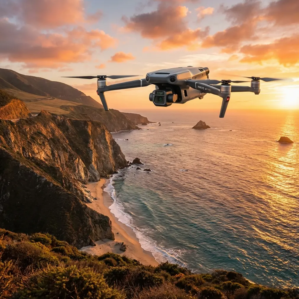
Mavic 3T Coastline Scouting at Altitude: A Field Report
Mavic 3T Coastline Scouting at Altitude: A Field Report From the Wind Line
META: Expert field report on using the DJI Mavic 3T for high-altitude coastline scouting, with practical insight on thermal signature reading, O3 transmission, GCP workflow, and mission reliability.
I learned to respect coastlines the hard way.
Years ago, on a cliff survey that looked straightforward on paper, the aircraft spent more time fighting the air than collecting useful data. Wind rolled up the face of the rock, salt haze softened visual contrast, and every pass over dark stone and cold water produced a different exposure problem. We got the job done, but the output was patchy and the crew spent too much time second-guessing what the sensors were actually seeing.
That sort of mission is where the Mavic 3T starts to make sense.
Not because it is perfect. Coastal environments are hostile to small aircraft, especially when you are working at altitude and trying to identify small anomalies along a long, irregular edge. But the Mavic 3T is one of the few compact platforms that brings enough sensor flexibility and enough operational discipline to make these flights efficient rather than improvisational. For teams scouting erosion zones, checking inaccessible ledges, screening for heat-bearing targets, or building visual records of changing shoreline features, that matters more than spec-sheet theater.
This is a field report, not a brochure. If your job involves scouting coastlines from high ground or over exposed sections of shore, here is where the Mavic 3T earns its place and where you still need to think like an operator.
Why coastline work is unusually demanding
A coastline is not one subject. It is several competing thermal and visual environments stitched together in one frame.
Water absorbs and releases heat differently than rock. Wet sand behaves differently than dry sand. Vegetation along the lip of a bluff can hide voids, runoff channels, or recent slippage. Add sea spray, reflective glare, and unstable winds around headlands, and you end up flying through a scene that punishes weak situational awareness.
High-altitude scouting makes the problem more interesting. The higher vantage point gives you superior context and safer stand-off from unstable terrain, but it also compresses detail. Tiny thermal variations become harder to separate from background noise. Visual artifacts start to resemble real targets. If you are not careful, you end up with pretty imagery and poor decisions.
The Mavic 3T helps because it is built around a sensor stack that lets you cross-check what you are seeing instead of trusting a single feed. That is the operational difference. On a rugged coast, confirmation is worth more than raw image quality.
The thermal signature question
When people hear “Mavic 3T,” they tend to jump straight to thermal imaging, and that is fair. On shoreline work, thermal is often the fastest way to narrow attention.
The trick is understanding what a thermal signature actually means on a coast. A warm patch on rock may indicate retained daytime heat, not an animal, person, or active equipment. A cool streak on a bluff face may be moisture movement or fresh exposure. Around dawn or late afternoon, temperature transitions become especially useful because the environment stops looking thermally flat.
That is where the Mavic 3T becomes practical rather than merely interesting. You can scan broad sections of cliff, breakwater, or tidal interface for inconsistencies, then immediately validate with the visible camera before sending a crew closer. That shortens the interval between detection and interpretation. On difficult ground, every unnecessary foot patrol is a risk multiplier.
I have used this workflow to identify areas where water intrusion was likely destabilizing the face of a coastal slope. The thermal image alone did not “diagnose” the site. What it did was reveal a pattern that deserved a closer look. That distinction matters. Thermal is not magic. It is a prioritization tool, and the Mavic 3T is good at turning a huge visual problem into a manageable inspection plan.
Why the O3 transmission link matters more near the sea
Plenty of buyers focus on sensors and overlook transmission stability. That is a mistake, especially on exposed coastlines.
The Mavic 3T’s O3 transmission system is one of the reasons it performs credibly in these missions. At altitude, you often fly from awkward positions: behind dune lines, near cliff access points, or from staging zones that are safe for the crew but not ideal for line quality. You need a feed that stays usable while the aircraft moves across changing terrain angles and reflective surfaces.
Near the sea, the environment plays tricks on perception. Bright water can make visual interpretation harder on the controller screen. Atmospheric haze reduces subtle contrast. If your downlink is unstable or muddy, you lose confidence at exactly the moment when you should be deciding whether a target is real, whether the route remains safe, and whether another pass is worth the battery.
A stable transmission path is not glamorous, but it is mission infrastructure. The Mavic 3T’s O3 link helps maintain that continuity. For a coastline scout operating from high ground, that means fewer aborted passes and less time burning battery just to reacquire confidence in the scene.
AES-256 and why data discipline belongs in the conversation
Coastal surveying is not always just geology and scenery. Sometimes you are documenting critical infrastructure, restricted shore access, environmental incidents, or sensitive habitats. In those cases, secure handling of flight data stops being a footnote.
This is one of those operational details professionals appreciate more than casual users do. AES-256 support matters because the output from a thermal-capable aircraft can reveal patterns that are not meant for broad circulation, from infrastructure heat signatures to activity around secluded facilities. If your workflow touches regulated assets or confidential survey work, secure data handling is part of the job, not an optional extra.
The Mavic 3T fits that reality better than many lightweight platforms because it aligns with a more serious enterprise workflow. That does not remove the need for internal procedures. It does mean the aircraft is not the weak link.
Photogrammetry on a coastline is possible, but only if you respect the surface
Here is where many coastal operators get overconfident. They assume that if a drone can map farmland or stockpiles, it can map a shoreline with the same clean repeatability.
Not exactly.
Photogrammetry over coastlines becomes unreliable when the surface is moving, reflective, or visually repetitive. Waves ruin consistency. Wet sand can flatten texture. Sharp rock ledges create shadow shifts that confuse reconstruction. If you are planning to build usable models from a Mavic 3T mission, you need to be selective about what part of the coastline you are actually modeling.
Stable terrain above the tidal line is usually the better candidate. Cliff tops, erosion scars, access tracks, retaining structures, and exposed geological features can all be documented effectively if your mission geometry is disciplined. This is where GCP strategy matters. Ground control points are not glamorous either, but they are often the difference between a model that looks plausible and one that holds up when someone overlays previous survey data.
On one site, we used GCPs to anchor repeat missions along a receding bluff section. The value was not just in producing a map. It was in producing a map that could be compared over time without hand-waving. The Mavic 3T gave us the flexibility to pair visual mapping passes with targeted thermal checks on suspect drainage lines. That combination saved a second deployment.
If your reader scenario is high-altitude coastline scouting, this is the main lesson: use photogrammetry where the terrain is stable enough to reward it, and use thermal where pattern detection can guide attention. The Mavic 3T is strong because it lets one aircraft support both decisions in a single field cycle.
Battery handling changes the day more than people expect
Coastline operations often involve long walks, awkward launch sites, and weather windows that do not stay open for very long. In that context, battery management is not just a logistics concern. It shapes the mission design.
Hot-swap batteries are not literally a feature label people brag about over coffee, yet the ability to cycle power efficiently and get the aircraft back up without wasting the whole rhythm of the operation is part of what makes a compact thermal platform workable in the field. You may only have a short period when glare is low, thermal contrast is improving, and the wind remains acceptable on the cliff edge. Lose that timing, and the mission quality drops fast.
With the Mavic 3T, battery turnover is simple enough that teams can keep a survey cadence without turning each landing into a reset of the whole operation. That is one of those practical gains that never sounds dramatic in marketing copy and always feels dramatic on site.
BVLOS pressure and the real-world limit
Coastline users love the idea of stretching coverage. I understand why. A shoreline is linear, and linear environments make people think in terms of distance.
But BVLOS is not just about whether the aircraft link can technically support range. It is about regulation, risk assessment, terrain complexity, contingency planning, and the quality of your visual interpretation while the aircraft is far from the launch point. On a coast, all of those variables are amplified by wind shear, birds, moving water, and limited emergency landing options.
The Mavic 3T is capable enough to tempt operators into ambitious profiles. My advice is simple: respect the mission more than the machine. Use the platform to improve decision quality, not to justify poor discipline. High-altitude scouting works best when each leg has a clear purpose, a known recovery logic, and a reason to exist beyond “seeing more.”
What made this model easier than older workflows
The biggest difference for me is not one single feature. It is the reduction in friction between detection, verification, and documentation.
Older coastal workflows often split those jobs across separate flights or separate tools. One pass for visuals. Another for thermal. Notes taken manually. Targets rediscovered later if the light had changed. That process was slow and full of opportunities for human drift.
The Mavic 3T compresses that. You can spot a suspect thermal patch, switch context, frame it visually, record the location, and decide in real time whether it belongs in the inspection queue. That is what makes it useful for expert teams. Not novelty. Tempo.
And on hostile coastlines, tempo is often the hidden metric that determines whether the day was productive.
Practical scouting tips for high-altitude coastal missions
Start with the sun angle, not the route. Thermal interpretation over shorelines changes dramatically with time of day. If the goal is anomaly detection, choose the window when the terrain is telling the truth rather than glowing uniformly.
Plan separate passes for separate questions. Do not try to map, inspect, and search in one continuous improvisation. The Mavic 3T can support multiple objectives, but your flight plan should still isolate them.
Use GCPs when repeatability matters. If the mission includes erosion tracking or change detection, control points are what turn imagery into evidence.
Trust O3 transmission, but do not lean on it emotionally. Good link performance is an advantage, not permission to ignore terrain masking or weak launch positions.
Treat thermal signatures as clues. Validate them with visible context and with site knowledge. The shoreline is full of false positives for anyone who wants easy answers.
Build a battery rhythm before you reach the edge. Coastal launch sites are often cramped, noisy, and distracting. Pre-decided swap and relaunch routines reduce mistakes.
If you are refining a coastline inspection workflow and want to compare notes with a field operator, this direct line has been useful for quick mission discussions: message me here.
Final assessment
For high-altitude coastline scouting, the Mavic 3T earns respect because it reduces uncertainty in an environment full of it. Thermal signature review helps narrow the search. O3 transmission helps preserve situational awareness when terrain and sea glare work against you. AES-256 aligns with serious data handling. Photogrammetry becomes viable when paired with disciplined GCP use and realistic expectations about what coastal surfaces can support.
That combination is why I keep coming back to it.
Not because it turns a difficult mission into an easy one. It does something better. It makes a difficult mission more legible, and that is often the difference between collecting footage and producing operationally useful intelligence.
Ready for your own Mavic 3T? Contact our team for expert consultation.