Mavic 3T Guide: Scouting Construction Sites Efficiently
Mavic 3T Guide: Scouting Construction Sites Efficiently
META: Master construction site scouting with the Mavic 3T drone. Learn thermal imaging, photogrammetry workflows, and dust-resistant operations for accurate surveys.
TL;DR
- Thermal signature detection identifies subsurface moisture and material inconsistencies invisible to standard cameras
- 56× hybrid zoom enables detailed inspections without flying over active work zones
- O3 transmission maintains stable video feeds up to 15km even through dust interference
- 43-minute flight time covers sites up to 200 acres in a single battery cycle
Two years ago, I lost an entire day's survey data on a highway expansion project. Dust clouds from earthmoving equipment created so much interference that my previous drone's transmission dropped repeatedly. The footage was fragmented, unusable, and the client wasn't happy.
That experience changed how I approach construction site reconnaissance. The Mavic 3T has since become my primary tool for dusty environments, and in this tutorial, I'll walk you through exactly how to maximize its capabilities for construction scouting.
Why Construction Sites Demand Specialized Drone Solutions
Construction environments present unique challenges that consumer drones simply cannot handle. Airborne particulates, electromagnetic interference from heavy machinery, and constantly changing terrain require equipment designed for professional applications.
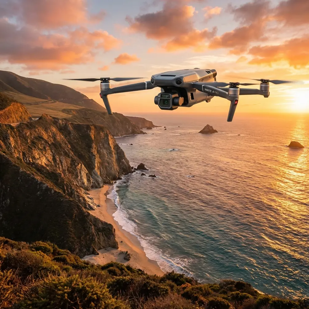
The Mavic 3T addresses these challenges through its enterprise-grade sensor suite and transmission system. Unlike recreational drones, it combines three distinct cameras into a single payload:
- Wide camera: 4/3 CMOS sensor with 20MP resolution
- Telephoto camera: 1/2-inch CMOS with 12MP and 56× hybrid zoom
- Thermal camera: 640×512 resolution with temperature measurement accuracy of ±2°C
This triple-sensor configuration means you capture visible light imagery, detailed close-ups, and thermal data simultaneously—eliminating the need for multiple flights.
Pre-Flight Planning for Dusty Environments
Assessing Site Conditions
Before launching, evaluate wind patterns and dust generation sources. Construction sites typically produce maximum particulate matter during:
- Excavation and grading operations
- Concrete cutting and demolition
- Material transport on unpaved roads
- Dry soil compaction
Schedule flights during low-activity periods when possible. Early morning surveys often provide calmer conditions and better thermal contrast for detecting moisture variations.
Configuring Flight Parameters
The Mavic 3T's obstacle avoidance sensors can struggle with dense dust clouds. Adjust your settings accordingly:
- Set obstacle avoidance sensitivity to medium rather than maximum
- Enable APAS 5.0 for automatic path adjustment
- Configure return-to-home altitude 50 meters above the tallest structure
- Activate AES-256 encryption for secure data transmission on sensitive projects
Expert Insight: I always perform a manual hover test at 10 meters for 60 seconds before beginning survey patterns. This confirms stable GPS lock and transmission quality before committing to the full flight plan.
Establishing Ground Control Points
Accurate photogrammetry requires properly distributed GCP markers. For construction sites, I recommend:
- Minimum 5 GCPs for sites under 10 acres
- Additional points every 100 meters for larger areas
- High-contrast targets visible through dust haze
- RTK base station setup for centimeter-level accuracy
The Mavic 3T's RTK module integrates directly with common survey-grade GNSS receivers, streamlining your GCP workflow significantly.
Executing the Survey Flight
Optimal Flight Patterns
Construction site scouting benefits from a hybrid approach combining automated grid patterns with manual inspection passes.
Phase 1: Automated Mapping Program a double-grid pattern at 80-meter altitude with 75% front overlap and 65% side overlap. This generates sufficient data for accurate photogrammetry processing while maintaining safe clearance from equipment.
Phase 2: Thermal Sweep Reduce altitude to 40 meters and enable split-screen thermal display. Scan systematically for:
- Underground utility locations showing thermal variance
- Moisture intrusion in concrete pours
- Equipment heat signatures indicating mechanical stress
- Insulation gaps in partially completed structures
Phase 3: Detail Inspection Use the 56× zoom to examine specific areas of concern without repositioning the aircraft. This capability proves invaluable when investigating:
- Rebar placement verification
- Formwork alignment
- Weld quality on structural steel
- Erosion control measure effectiveness
Pro Tip: The thermal camera's high-gain mode dramatically improves detection of subtle temperature differences. I switch to this setting when scanning for subsurface moisture that standard gain might miss.
Managing Dust Interference
The O3 transmission system handles interference remarkably well, but extreme dust conditions still require attention. Monitor your signal strength indicator continuously.
If transmission quality drops below three bars:
- Reduce distance between drone and controller
- Increase altitude to rise above dust concentration
- Reposition yourself upwind of the dust source
- Switch to 2.4GHz frequency if 5.8GHz shows interference
The Mavic 3T's hot-swap batteries allow continuous operations when surveying large sites. I carry three batteries minimum, enabling coverage of sites exceeding 400 acres without returning to base.
Technical Specifications Comparison
| Feature | Mavic 3T | Mavic 3E | Previous Gen Enterprise |
|---|---|---|---|
| Thermal Resolution | 640×512 | N/A | 320×256 |
| Max Flight Time | 43 min | 45 min | 31 min |
| Transmission Range | 15 km | 15 km | 8 km |
| Zoom Capability | 56× hybrid | 56× hybrid | 28× hybrid |
| Operating Temp | -20°C to 50°C | -20°C to 50°C | -10°C to 40°C |
| Dust/Water Resistance | IP54 | IP54 | IP43 |
| RTK Compatibility | Yes | Yes | External only |
| BVLOS Capability | Supported | Supported | Limited |
Processing Your Survey Data
Photogrammetry Workflow
After completing flights, transfer data via the USB-C 3.0 port for fastest speeds. The Mavic 3T generates approximately 1.5GB of imagery per 10 acres at recommended overlap settings.
For construction applications, I process using these parameters:
- Point cloud density: High for earthwork calculations
- Mesh quality: Medium for progress documentation
- Orthomosaic resolution: 2 cm/pixel for plan comparison
- DSM generation: Enabled for volume calculations
Thermal Data Analysis
Thermal imagery requires separate processing to extract maximum value. Export thermal data in RJPEG format to preserve radiometric information.
Key analysis targets include:
- Temperature differential mapping across concrete pours
- Heat loss identification in HVAC installations
- Underground void detection through surface temperature variance
- Equipment efficiency monitoring via thermal signature comparison
Common Mistakes to Avoid
Flying too low in active zones Maintaining minimum 30-meter clearance from operating equipment protects both the drone and workers. Dust vortices from machinery can extend higher than expected.
Ignoring thermal calibration The thermal sensor requires 15 minutes of operation to stabilize readings. Rushing this process produces inaccurate temperature measurements that compromise analysis.
Overlooking encryption requirements Construction projects often involve proprietary designs. Failing to enable AES-256 encryption exposes sensitive data to potential interception.
Skipping redundant GCPs Survey markers get disturbed on active sites. Always place two additional GCPs beyond minimum requirements to maintain accuracy if markers are displaced.
Neglecting lens maintenance Dust accumulation on camera lenses degrades image quality progressively. Clean all three lenses before every flight using appropriate microfiber materials.
Frequently Asked Questions
Can the Mavic 3T operate in heavy dust without damage? The IP54 rating protects against dust ingress during normal operations. However, avoid flying through concentrated dust plumes directly. Post-flight cleaning of air intakes extends component lifespan significantly.
What BVLOS approvals does the Mavic 3T support? The aircraft meets technical requirements for beyond visual line of sight operations in most jurisdictions. Actual approval depends on your local aviation authority and requires additional documentation including risk assessments and observer protocols.
How accurate are thermal readings for construction applications? Temperature measurements achieve ±2°C accuracy after proper calibration. For relative comparisons—identifying hot spots or moisture intrusion—accuracy improves to approximately ±0.5°C differential detection.
Construction site scouting has evolved dramatically with thermal-equipped enterprise drones. The Mavic 3T's combination of imaging capabilities, transmission reliability, and environmental resilience makes it exceptionally suited for dusty, demanding survey environments.
Ready for your own Mavic 3T? Contact our team for expert consultation.