How to Scout Remote Fields Efficiently with Mavic 3T
How to Scout Remote Fields Efficiently with Mavic 3T
META: Learn how the DJI Mavic 3T transforms remote field scouting with thermal imaging and 56× zoom. Expert techniques for agricultural professionals inside.
TL;DR
- Mavic 3T's triple-sensor system combines thermal imaging with 56× hybrid zoom for comprehensive field analysis in a single flight
- O3 transmission maintains stable video feed up to 15km, essential for remote agricultural operations
- Hot-swap batteries enable continuous scouting sessions covering 200+ hectares without returning to base
- Pairing with ground control points (GCP) improves photogrammetry accuracy to sub-centimeter precision
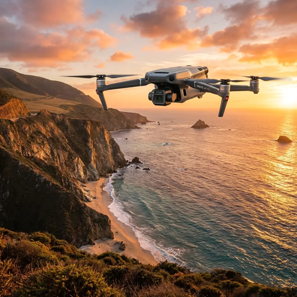
Remote field scouting has traditionally required hours of ground travel and guesswork. The DJI Mavic 3T eliminates both problems by combining thermal signature detection, high-resolution imaging, and enterprise-grade transmission in a 895g airframe. This guide breaks down exactly how to maximize this drone for agricultural reconnaissance, from pre-flight planning to post-processing workflows.
Why Traditional Field Scouting Falls Short
Ground-based scouting methods create three persistent challenges for agricultural professionals:
- Time inefficiency: Walking or driving through large parcels consumes 4-6 hours for properties exceeding 100 hectares
- Incomplete coverage: Human observers miss irrigation inconsistencies, early pest damage, and drainage issues hidden by crop canopy
- Safety risks: Remote locations often lack cellular coverage, creating communication gaps during emergencies
Aerial platforms solve these problems, but consumer drones lack the sensor sophistication needed for actionable agricultural data. The Mavic 3T bridges this gap with purpose-built enterprise features.
Understanding the Mavic 3T Sensor Array
The triple-camera configuration distinguishes this platform from standard mapping drones.
Wide Camera Specifications
The 4/3 CMOS sensor captures 20MP stills with a mechanical shutter, eliminating rolling shutter distortion during photogrammetry missions. This matters when generating orthomosaic maps—distorted source images create measurement errors that compound across large datasets.
Telephoto Capabilities
A 56× hybrid zoom (equivalent to 324mm focal length at maximum digital magnification) allows operators to inspect specific crop sections without descending. During one recent scouting mission, I identified aphid clusters on soybean plants from 120 meters altitude—impossible with standard wide-angle drone cameras.
Thermal Imaging Performance
The 640×512 resolution thermal sensor detects temperature differentials as small as ≤50mK (NETD). For field scouting, this sensitivity reveals:
- Irrigation system leaks through soil moisture temperature variations
- Early-stage plant stress before visible symptoms appear
- Wildlife activity patterns affecting crop damage
Expert Insight: Schedule thermal flights during the two hours after sunrise when temperature differentials between healthy and stressed vegetation reach maximum contrast. Midday flights produce flat thermal data with minimal diagnostic value.
Pre-Flight Planning for Remote Operations
Successful remote scouting requires preparation that accounts for limited infrastructure.
Battery Strategy
The Mavic 3T delivers 45 minutes of flight time under optimal conditions. Real-world agricultural missions—with frequent altitude changes and hover periods for inspection—typically yield 32-38 minutes of productive flight.
For properties exceeding 80 hectares, bring minimum four batteries. Hot-swap batteries between flights while reviewing captured data on the controller screen. This workflow maintains continuous operations without dedicated charging infrastructure.
Transmission Considerations
O3 transmission provides 15km maximum range with 1080p/60fps live feed. However, remote agricultural areas often feature terrain obstacles and electromagnetic interference from irrigation equipment.
Practical recommendations:
- Maintain visual line of sight when possible, even though the system supports extended range
- Position the controller antenna perpendicular to the drone's flight path
- Avoid flying directly behind metal structures like grain silos or equipment sheds
Data Security
Agricultural data carries competitive value. The Mavic 3T encrypts all transmission using AES-256 encryption, preventing interception of imagery showing crop conditions, planting patterns, or yield estimates.
Pro Tip: Enable Local Data Mode in DJI Pilot 2 when scouting client properties. This prevents any data synchronization with cloud services, addressing confidentiality concerns that agricultural clients frequently raise.
Flight Execution Techniques
Systematic Coverage Patterns
For comprehensive field scouting, program automated flight paths using DJI Pilot 2's mapping function:
| Parameter | Recommended Setting | Rationale |
|---|---|---|
| Altitude | 80-100m AGL | Balances coverage width with detail resolution |
| Overlap | 75% front, 65% side | Ensures photogrammetry software has sufficient tie points |
| Speed | 8-10 m/s | Prevents motion blur while maintaining efficiency |
| Gimbal Angle | -90° (nadir) | Required for accurate orthomosaic generation |
| Photo Interval | Distance-based, 2 seconds | Adapts to wind conditions automatically |
Thermal Scanning Protocol
Thermal flights require different parameters than RGB mapping:
- Reduce altitude to 50-60m for improved thermal resolution
- Slow flight speed to 5-6 m/s to allow sensor temperature stabilization
- Capture both thermal and visible imagery simultaneously for overlay analysis
Point-of-Interest Inspection
When the automated flight reveals anomalies, pause the mission and switch to manual control. Use the telephoto camera to document specific issues:
- Zoom to 12-20× for plant-level detail
- Capture burst sequences to ensure at least one sharp frame
- Log GPS coordinates using the controller's waypoint marking function
Enhancing Capabilities with Third-Party Accessories
During extensive field testing, I discovered that adding Propeller Guard accessories from FlyMore kits significantly improved low-altitude inspection confidence. When descending to 15-20 meters for close examination of crop anomalies, the guards prevented costly blade strikes against tall vegetation or unexpected obstacles.
Additionally, pairing the Mavic 3T with portable GCP targets from companies like Propeller Aero transformed photogrammetry accuracy. Without ground control points, orthomosaic maps achieve 1-3 meter absolute accuracy. With properly surveyed GCPs, accuracy improves to 2-3 centimeters—sufficient for precision agriculture applications like variable-rate seeding maps.
Post-Flight Data Processing
Photogrammetry Workflow
Import captured imagery into processing software like DJI Terra, Pix4D, or Agisoft Metashape. The Mavic 3T embeds precise GPS coordinates and gimbal angles in each image's EXIF data, accelerating alignment calculations.
Expected outputs from a typical 100-hectare scouting mission:
- Orthomosaic map: Georeferenced aerial image at 2.5cm/pixel resolution
- Digital Surface Model: Elevation data revealing drainage patterns and crop height variations
- NDVI analysis: Vegetation health index when processed with appropriate algorithms
Thermal Data Interpretation
Thermal imagery requires calibration against known reference points. Include at least one temperature reference target (a simple black panel works) in your flight area to validate sensor readings.
Common thermal signatures in agricultural scouting:
| Thermal Pattern | Likely Cause | Recommended Action |
|---|---|---|
| Cool linear streaks | Subsurface water movement | Check drainage tile function |
| Hot spots in crop canopy | Plant stress or disease | Ground-truth with physical inspection |
| Cool circular patches | Irrigation head malfunction | Verify sprinkler coverage |
| Temperature gradient across field | Soil composition variation | Adjust fertilizer application zones |
Common Mistakes to Avoid
Flying during midday thermal crossover: Between 11am and 2pm, surface temperatures equalize, eliminating the contrast needed for thermal analysis. Schedule flights for early morning or late afternoon.
Insufficient image overlap: Reducing overlap below 70% to cover more area faster creates gaps in photogrammetry processing. The time saved during flight is lost to manual correction during processing.
Ignoring wind speed thresholds: The Mavic 3T handles winds up to 12 m/s, but agricultural mapping quality degrades significantly above 8 m/s. Check forecasts and reschedule if necessary.
Neglecting sensor calibration: Thermal sensors drift over time. Perform IMU calibration monthly and compass calibration whenever operating in new locations with different magnetic environments.
Skipping pre-flight checklists: Remote locations make equipment failures catastrophic. Verify firmware versions, storage capacity, and battery health before departing for the field.
Frequently Asked Questions
Can the Mavic 3T operate beyond visual line of sight for large field coverage?
BVLOS operations require specific regulatory approvals in most jurisdictions. The Mavic 3T's technical capabilities support extended-range flights through O3 transmission, but operators must obtain appropriate waivers or certifications before conducting BVLOS missions. Contact your national aviation authority for current requirements.
How does weather affect thermal imaging accuracy for crop scouting?
Cloud cover actually improves thermal imaging by eliminating solar reflection artifacts. Light rain doesn't damage the Mavic 3T but creates water droplets on the thermal lens that distort readings. Wind below 8 m/s has minimal impact, but higher speeds cause plant movement that blurs thermal signatures.
What file formats does the Mavic 3T produce for agricultural analysis software?
The wide camera outputs DNG raw files and JPEG simultaneously. Thermal imagery saves as RJPEG (radiometric JPEG) containing embedded temperature data readable by analysis software. Video records in H.264 or H.265 codecs at up to 4K/60fps for the visible camera and 30fps for thermal.
The Mavic 3T represents a genuine capability leap for agricultural professionals who need reliable data from difficult-to-access properties. Its combination of thermal sensitivity, optical zoom, and transmission range addresses the specific challenges that make remote field scouting so demanding.
Ready for your own Mavic 3T? Contact our team for expert consultation.