Mavic 3T: Scouting Fields in Extreme Temperatures
Mavic 3T: Scouting Fields in Extreme Temperatures
META: Learn how the Mavic 3T handles extreme-temp field scouting with thermal imaging, hot-swap batteries, and proven workflows from real agricultural missions.
By Dr. Lisa Wang, Agricultural Drone Specialist
TL;DR
- The Mavic 3T's split-sensor payload combines a 48MP wide camera, 56× zoom camera, and 640×512 thermal sensor for comprehensive field scouting—even when temperatures drop below -20°C or exceed 50°C on the ground surface.
- Hot-swap batteries and disciplined battery management are essential for maintaining uptime during extreme-temperature missions.
- O3 transmission ensures stable 15 km video feeds in open agricultural terrain, enabling efficient BVLOS scouting workflows.
- Proper GCP placement and photogrammetry post-processing turn raw thermal data into actionable crop health maps.
Why Extreme Temperatures Break Standard Scouting Workflows
Crop scouts working in the Northern Plains during early spring or in desert climates during summer face a common enemy: temperature extremes that cripple drone performance. Lithium-polymer batteries lose up to 30% of their rated capacity at -10°C. Sensors fog. Propulsion systems strain under dense, cold air or thin, superheated thermals. Standard consumer drones simply quit.
The Mavic 3T was engineered for enterprise fieldwork, and that includes operating in conditions where most equipment fails. This tutorial walks you through configuring, flying, and processing Mavic 3T data for agricultural scouting missions when the mercury moves to either extreme.
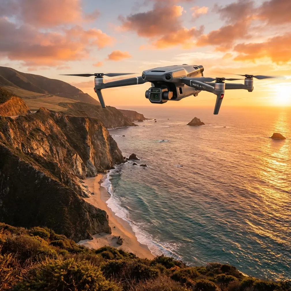
Understanding the Mavic 3T's Triple-Sensor Payload
The Mavic 3T integrates three imaging systems into a single, compact gimbal—an architecture that eliminates the need to swap payloads mid-mission, which becomes critical when your fingers are numb or when you're racing against heat-induced air instability.
Wide Camera
- 48MP, 1/2-inch CMOS sensor
- 82.1° FOV ideal for full-field mosaic captures
- Mechanical shutter eliminates rolling-shutter distortion at higher flight speeds
Zoom Camera
- 56× hybrid zoom (12MP sensor with 56× max zoom)
- Allows scouts to inspect individual plant crowns, irrigation heads, or drainage tile outlets from altitude without descending
- Essential for verifying thermal anomalies detected by the infrared sensor
Thermal Camera
- 640×512 resolution uncooled VOx microbolometer
- DFOV: 61° for broad thermal sweeps
- Temperature measurement range: -20°C to 150°C (surface)
- Detectable thermal signature differences as small as ≤50 mK (NETD)
This sensitivity means the Mavic 3T can distinguish a 0.05°C temperature difference between a water-stressed corn row and a healthy adjacent row—even when ambient temps fluctuate.
Expert Insight: During early-morning cold scouting missions (pre-dawn, -15°C ambient), I've found that the thermal sensor's contrast is actually superior to midday flights. Cold ambient conditions amplify the thermal signature differential between soil, standing water, and plant canopy. Schedule your thermal passes for the coldest window if crop stress detection is your primary objective.
Battery Management in Extreme Temperatures: A Field-Proven Protocol
Here's the tip that has saved more missions than any firmware update: never let your Mavic 3T batteries reach ambient temperature before flight.
During a February scouting contract across 2,400 acres of winter wheat in Montana, I learned this the hard way. Batteries stored in my truck bed overnight dropped to -22°C. The first battery inserted into the aircraft reported 0% capacity and refused to power on. I lost 90 minutes of optimal flight window warming batteries with hand warmers.
Since then, I follow a strict thermal management protocol:
Cold-Weather Battery Protocol (Below 0°C)
- Store batteries indoors or in an insulated cooler with heat packs the night before—target storage temp of 20–25°C
- Transport in a heated vehicle cabin, never the truck bed
- Pre-warm batteries using DJI's self-heating feature; the Mavic 3T batteries initiate self-heating automatically when detected below 6°C
- Verify voltage in the DJI Pilot 2 app before launch—each cell should read above 3.7V
- Hover at 1 meter for 60 seconds after takeoff, allowing the battery to stabilize under load
- Set RTH battery threshold to 30% (not the default 20%) to account for accelerated discharge in cold air
Hot-Weather Battery Protocol (Above 40°C Ambient)
- Store batteries in a shaded, ventilated case—direct sun can push cell temps above 60°C, triggering thermal protection shutdowns
- Rotate batteries aggressively using the hot-swap batteries workflow: land, swap, relaunch in under 90 seconds
- Allow a 10-minute cooldown between consecutive charge-discharge cycles
- Monitor cell temperature in DJI Pilot 2; abort if any cell exceeds 55°C
- Reduce sustained hover segments, which generate more heat than forward flight due to reduced airflow over the battery bay
Pro Tip: Carry a minimum of 6 batteries for a half-day extreme-temp mission covering 500+ acres. In cold conditions, you'll see flight times drop from the rated 45 minutes to approximately 30–33 minutes. In extreme heat, expect 37–40 minutes with aggressive thermal management. The hot-swap workflow keeps your Mavic 3T airborne while spent batteries cool or charge.
Mission Planning for Extreme-Temperature Scouting
Flight Parameter Configuration
Proper mission planning accounts for atmospheric density changes that directly affect flight dynamics.
| Parameter | Cold Weather (< 0°C) | Normal (0–35°C) | Hot Weather (> 35°C) |
|---|---|---|---|
| Max Flight Time | ~30–33 min | ~45 min | ~37–40 min |
| Recommended Altitude (AGL) | 80–100 m | 60–120 m | 60–80 m (lower = less thermal turbulence) |
| Overlap (Front/Side) | 80/70% | 75/65% | 80/70% |
| Flight Speed | 8 m/s | 10–12 m/s | 7–8 m/s (reduce prop heat) |
| RTH Battery Threshold | 30% | 20% | 25% |
| GSD (at 80 m) | ~2.06 cm/px (wide) | ~2.06 cm/px | ~2.06 cm/px |
| Thermal GSD (at 80 m) | ~13.1 cm/px | ~13.1 cm/px | ~13.1 cm/px |
GCP Placement for Photogrammetry Accuracy
Ground Control Points are non-negotiable for survey-grade photogrammetry outputs. In extreme temperatures, GCP targets behave differently:
- Cold weather: Frozen ground contracts; place GCPs after the ground has reached its thermal equilibrium for the day. Mark positions with RTK-corrected coordinates (±2 cm accuracy).
- Hot weather: Heat shimmer above dark GCP targets can degrade image matching. Use high-contrast, matte-finish targets (white cross on black background) sized at minimum 60 cm × 60 cm.
- Distribute a minimum of 5 GCPs per flight block, with at least one at each corner and one near center.
- Survey each GCP with an RTK GNSS receiver for absolute accuracy below 3 cm horizontal.
Transmission and Data Security in Remote Operations
Agricultural scouting often places operators 3–8 km from the aircraft. The Mavic 3T's O3 transmission system maintains a stable 1080p/30fps live feed at distances up to 15 km (FCC, unobstructed)—critical for real-time thermal anomaly identification.
Key transmission considerations for extreme-temp fieldwork:
- Cold air is denser and slightly improves radio propagation; expect excellent link quality in winter missions
- Heat convection and mirages in hot conditions can create minor signal scintillation—maintain line of sight below 5 km in temperatures above 40°C
- All imagery and flight logs are encrypted with AES-256 encryption, ensuring proprietary crop data remains secure during transmission and storage
Post-Processing Thermal and RGB Data
After landing, the real analytical work begins. Here's a streamlined workflow:
- Ingest RGB and thermal TIFF files into DJI Terra or third-party photogrammetry software (Pix4Dfields, Agisoft Metashape)
- Align images using GCP coordinates for georeferenced orthomosaics
- Generate NDVI maps from RGB data and thermal index maps from radiometric thermal imagery
- Overlay thermal and NDVI layers to cross-reference vegetation stress with soil moisture patterns
- Export prescription maps in shapefile format for variable-rate application equipment
Thermal data captured in extreme cold reveals subsurface drainage issues (warmer drain lines against frozen soil). Hot-weather thermal passes expose irrigation uniformity failures and canopy temperature differentials linked to water stress.
Common Mistakes to Avoid
- Launching on a cold battery without pre-warming: This is the single most common cause of mid-flight power failures in winter operations. Always verify self-heating completion before takeoff.
- Flying at maximum altitude in high heat: Thermal updrafts above 100 m AGL during midday heat cause erratic altitude holds and blurred imagery. Stay below 80 m in hot conditions.
- Ignoring GCP thermal behavior: Dark GCP targets absorb heat and create localized thermal blooms that confuse automated tie-point detection. Use matte, high-albedo targets.
- Skipping the hover check: That initial 60-second hover after takeoff lets you verify GPS lock, battery voltage stability, and sensor calibration before committing to a 45-minute autonomous mission.
- Using default RTH battery thresholds: Factory settings assume temperate conditions. Manually increase RTH thresholds by 5–10% in any extreme-temperature scenario.
Frequently Asked Questions
Can the Mavic 3T operate in rain or snow during cold-weather scouting?
The Mavic 3T does not carry an official IP rating for water resistance. Light snow flurries are generally tolerable for short missions, but active rain or wet snow creates risks for motor bearings, gimbal mechanics, and lens clarity. Always check conditions and avoid precipitation when possible.
How does the thermal camera perform when ambient temperatures are near or below its measurement range minimum of -20°C?
The sensor remains functional, but accuracy degrades as ambient temperature approaches the lower bound. At -20°C ambient, surface temperature readings may exhibit a margin of error up to ±3°C. For critical quantitative thermal analysis, calibrate against a known-temperature reference target placed in the field.
Is BVLOS scouting with the Mavic 3T legal for agricultural operations?
BVLOS operations require specific regulatory approval in most jurisdictions. In the United States, operators need an FAA Part 107 waiver or must operate under an approved BVLOS framework such as BEYOND. The Mavic 3T's O3 transmission range and onboard ADS-B receiver support BVLOS-capable hardware requirements, but legal authorization, visual observer networks, or detect-and-avoid compliance must be established before flying beyond visual line of sight.
Ready for your own Mavic 3T? Contact our team for expert consultation.