Mavic 3T for Dusty Field Scouting: What Actually Matters
Mavic 3T for Dusty Field Scouting: What Actually Matters in Real Operations
META: Expert review of the DJI Mavic 3T for dusty field scouting, with thermal insights, battery strategy, O3 transmission, mapping limits, and practical field workflow tips.
When people ask whether the Mavic 3T is a good aircraft for scouting fields in dusty conditions, they usually ask the wrong question. The better one is this: where does it save time, where does it add confidence, and where does it ask too much from the pilot or the mission plan?
That is the real frame for evaluating this aircraft.
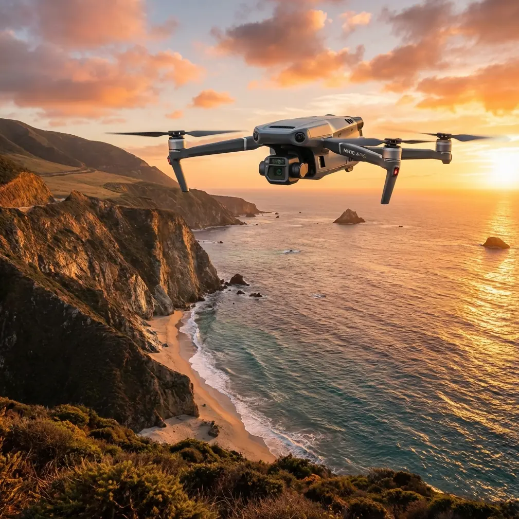
The Mavic 3T is not just a compact drone with a thermal camera attached. In field work, especially in dry environments where visibility, heat, and airborne dust all distort what you think you are seeing, its value comes from how several systems work together: the thermal payload, the zoom capability, the flight endurance, the transmission link, and the practical rhythm of battery handling between sorties. If your job is to scout large blocks of land, identify heat stress, inspect irrigation behavior, check fence lines, or quickly verify anomalies before sending a crew, the Mavic 3T sits in a very specific operational lane. It is fast to deploy, flexible in the air, and far less cumbersome than larger enterprise platforms. But it also rewards disciplined workflow more than people expect.
For dusty field scouting, the first operational truth is simple. Dust changes everything about visual interpretation. You can have a perfectly healthy patch of crop or bare soil that looks wrong from the RGB camera because haze and particulate in the air flatten contrast. On hot days, the ground itself starts radiating hard enough to confuse less experienced operators who assume every bright area in thermal is an actionable hotspot. The Mavic 3T helps because it gives you two independent ways to interpret the same scene. That matters more than headline specs.
Its thermal sensor is not there to replace visual inspection. It is there to narrow uncertainty. In a dusty field, that can mean identifying irrigation leaks that cool the surrounding soil, locating stressed zones that are running hotter than neighboring rows, or spotting equipment that has been sitting in the sun longer than expected. Thermal signature is useful only when the operator understands context. Midday thermal can be brutally noisy because the whole landscape is heat loaded. Early morning and late afternoon often produce cleaner separation when you are trying to distinguish plant stress, animal presence, water movement, or residual equipment heat.
This is where the Mavic 3T earns respect in real use. You can move from broad thermal scanning to visual confirmation without changing aircraft or landing to swap systems. That sounds minor until you are in a field with blowing dust and limited setup time. Every avoided landing is one less opportunity for dust to contaminate the aircraft body, gimbal area, and battery contacts.
The second major factor is transmission confidence. DJI’s O3 transmission system is one of the reasons the Mavic 3T remains practical in open agricultural environments. On paper, link quality is easy to ignore. In real field scouting, it shapes how aggressively you can work. Open land creates the illusion that radio conditions are always simple. They are not. Terrain undulations, tree lines, utility infrastructure, and even vehicle placement near the pilot station can create moments of degraded signal behavior. A stable O3 link means the aircraft is not just easier to fly. It allows cleaner decision-making when you are using zoom and thermal together to investigate an anomaly at distance.
That becomes especially relevant if your operation is structured around future BVLOS planning, even when your current missions remain within visual line of sight. The aircraft’s transmission reliability and predictable control response help crews build disciplined workflows that scale upward into more regulated operating environments. That does not make the Mavic 3T a shortcut to BVLOS. It means the platform supports the kind of repeatable behavior you want before stepping into that level of operational complexity.
Security also deserves more attention than it gets in agriculture and infrastructure-adjacent work. AES-256 encryption may sound like a checkbox feature, but in practical terms it matters whenever field data has commercial sensitivity. That could include thermal observations tied to irrigation performance, crop stress patterns, livestock location, perimeter conditions, or site logistics. Not every field mission is sensitive, but many are more sensitive than the pilot realizes. Secure transmission and data handling are part of professional field practice, not just corporate IT language.
The Mavic 3T’s compact format is another strength in dusty environments, though it comes with a tradeoff. A larger platform often tolerates rough field handling better and may offer greater payload flexibility. The Mavic 3T counters that by drastically reducing friction. It gets airborne quickly, fits into a tighter deployment routine, and makes short inspection flights viable when a larger system would stay in the case because setup feels disproportionate to the task. That speed matters on farms, utility corridors, ranchland, and dry construction-adjacent tracts where decisions are often made in the gap between one physical task and the next.
Still, compact does not mean carefree. Dust is not simply a cleanliness problem. It is a mission reliability problem. Fine particulates accumulate around landing zones, settle on the airframe while batteries are changed, and cling to cases, gloves, and controllers. The practical answer is not some dramatic protection ritual. It is a boring, consistent field routine. Use a landing pad even when the ground looks firm. Power down fully before battery changes. Keep the open aircraft body pointed away from the prevailing wind. Wipe battery surfaces and check contacts before insertion. Those habits are what keep a productive scouting day from turning into a troubleshooting session.
This is also where battery management becomes more than a planning spreadsheet.
A field tip I give crews after too many long, dusty days is this: do not rotate batteries in a neat numerical sequence just because it looks organized. Rotate them according to thermal load and mission intensity. If one pack just came off a high-speed reposition leg in hot ambient conditions, let it rest longer than the others even if your label system says it is “next.” In dusty fields, operators often land, swap, relaunch, and keep momentum. That feels efficient. Sometimes it is. But batteries that are repeatedly cycled while still heat-soaked tend to give you the kind of voltage behavior that shows up at the worst moment, usually when you extend one more pass to verify a suspicious thermal signature near the edge of the property.
The smarter routine is to stage packs in a shaded case, track not only cycle count but recent heat exposure, and keep one cooler reserve battery for the mission that unexpectedly expands. That reserve has saved more operations than any fashionable checklist item. Not because the aircraft lacks endurance, but because field scouting has a habit of turning one anomaly into three more.
For operators hoping to use the Mavic 3T as a photogrammetry tool, the answer needs precision. It can contribute to mapping workflows, but it should not be treated as a dedicated survey platform first and foremost. There is a difference between building useful site context and building defensible geospatial products. If you are generating general visual records, identifying terrain changes, or creating baseline references for internal decision-making, the aircraft can be very useful. If you are chasing tighter repeatability and better positional confidence, especially over large agricultural parcels, then GCP strategy becomes critical and expectations need to stay realistic.
Ground control points help, but they do not magically convert a thermal-first enterprise aircraft into a specialized survey system. You can improve alignment and consistency, especially if your workflow is disciplined and your image capture geometry is sound. But if the mission depends on high-precision measurement across extensive acreage, the conversation should be about using the right airframe and sensor combination rather than stretching the Mavic 3T beyond its sweet spot. For most dusty field scouting tasks, however, that sweet spot is not high-order survey work. It is fast situational intelligence.
And that is where the zoom camera deserves more credit. In field operations, zoom is not just for dramatic inspection shots. It reduces unnecessary low-altitude flying over dusty terrain and sensitive areas. Instead of dropping lower and kicking up more particulate near the aircraft during approach or landing, you can hold a more conservative position and still confirm a broken irrigation emitter, a gate issue, a vehicle track, or a patch boundary irregularity. Combined with thermal, zoom lets you move through a practical sequence: detect, isolate, confirm.
That sequence is the heart of productive Mavic 3T work.
Detect broad anomalies using thermal when environmental conditions support it. Isolate them using flight position and framing. Confirm with visual detail before assigning urgency. That rhythm prevents two common mistakes: overreacting to thermal noise and underreacting to faint but real indicators that only become obvious when both payload views are considered together.
Dusty field scouting also puts pressure on launch discipline. Many poor data sets come from pilots who are too casual in the first two minutes of flight. They launch from an exposed patch, climb through their own dust plume, then immediately start capturing imagery through suspended particles. The Mavic 3T can only work with the air you put between it and the subject. If the ground is loose and dry, climb clean, move laterally out of the disturbed air, and only then begin thermal or visual assessment. Those 30 extra seconds improve image quality more than many people realize.
If you are coordinating field decisions with a remote stakeholder, the aircraft’s operational flexibility becomes even more valuable. A farm manager, site supervisor, or operations lead does not always need a giant formal report. Sometimes they need a fast answer with enough evidence to act. The Mavic 3T is very good at producing that answer. A thermal view can show where the issue lives. The visual camera can show what it is. If you need a quick operational discussion about fit for your own workflow, this direct field-use chat is the easiest place to start.
One thing experienced operators learn quickly is that the best Mavic 3T flights are rarely the longest ones. They are the flights with the cleanest objective. In dusty conditions, this matters because every minute aloft compounds environmental variables: heat shimmer, airborne particulates, changing shadows, operator fatigue, and battery temperature. Short, intentional sorties with defined inspection goals usually produce better decisions than one long wandering flight that tries to do everything.
So is the Mavic 3T the right aircraft for scouting fields in dusty environments?
For many operations, yes. Not because it is perfect, and not because it replaces larger platforms or dedicated mapping systems. It works because it compresses the field intelligence cycle. It gets airborne quickly, supports thermal and visual confirmation in the same mission, benefits from reliable O3 transmission in open land, and provides secure AES-256-linked operations for sensitive data environments. It can support photogrammetry-adjacent work when expectations are sensible and GCP use is planned carefully. Most of all, it fits the tempo of real field scouting, where you often need answers before conditions, crews, or daylight shift against you.
The aircraft’s limitations are just as instructive as its strengths. Dust demands careful launch and landing habits. Thermal interpretation depends heavily on timing and environmental understanding. Battery management is not a side issue. It is part of data quality and mission safety. Treat the Mavic 3T like a precision field instrument rather than a convenient flying camera, and it will usually reward you with faster, cleaner, more actionable reconnaissance.
That is the difference between owning an enterprise drone and actually operating one well.
Ready for your own Mavic 3T? Contact our team for expert consultation.