Mavic 3T for Low-Light Field Scouting: The Altitude That
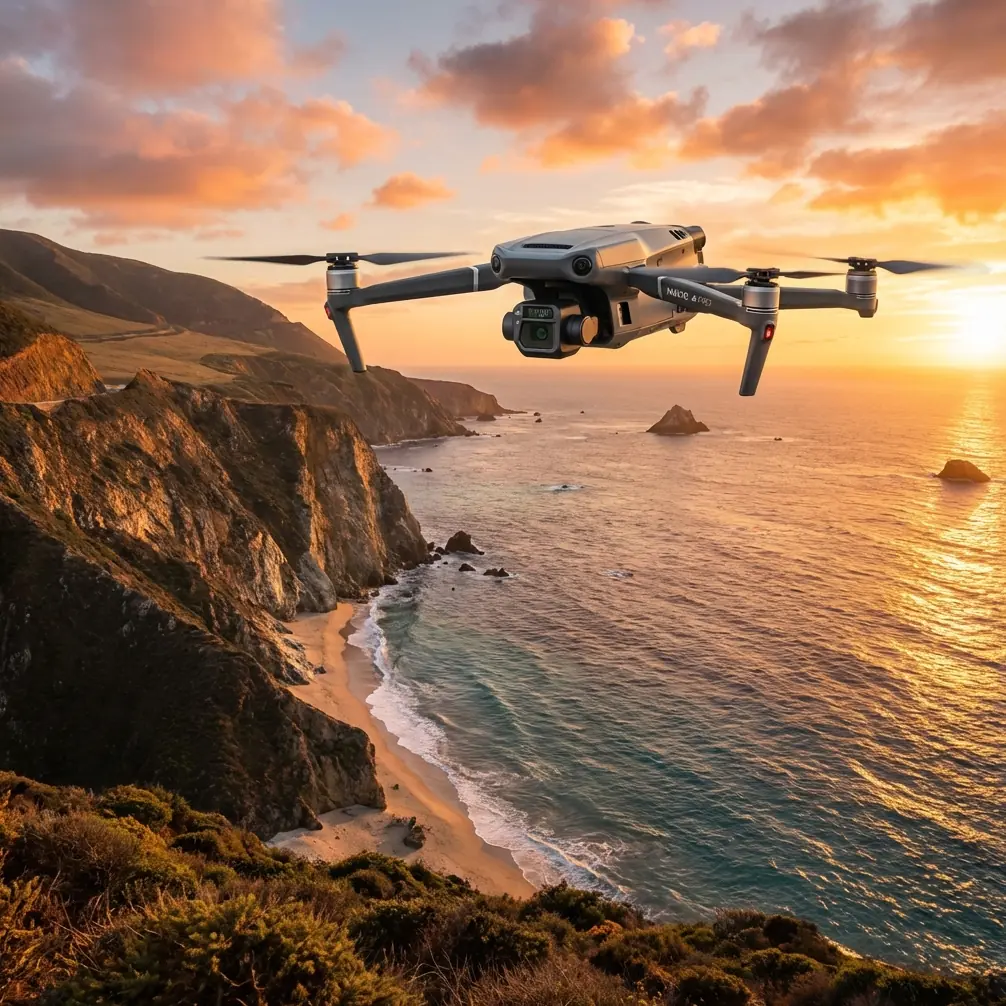
Mavic 3T for Low-Light Field Scouting: The Altitude That Actually Works
META: A specialist look at using the DJI Mavic 3T for low-light field scouting, including optimal flight altitude, thermal workflow, O3 transmission, battery planning, and when photogrammetry still matters.
Low-light scouting sounds simple until you try to do it well.
On paper, the Mavic 3T looks like an easy fit for agriculture and land assessment: compact airframe, thermal capability, visible imaging, solid transmission, and a field-friendly deployment profile. In practice, the hard part is not getting airborne. The hard part is collecting imagery that tells you something useful before dawn, after sunset, or under flat, low-contrast conditions when crop stress, irrigation problems, wildlife intrusion, and drainage issues become harder to confirm with the naked eye.
That is where the Mavic 3T starts to earn its place. Not because it is a generic “all-purpose” drone, but because its mix of thermal sensing, quick launch readiness, and stable data link changes how an operator can scout large areas when the light is poor and time is limited.
I have seen many low-light missions fail for one simple reason: the pilot flew too high too soon.
The real problem in low-light field scouting
Most field operators want three things from an early-morning or late-evening mission:
- Find anomalies quickly
- Cover enough acreage to make the flight worth doing
- Leave with data that supports a real decision
Those goals compete with each other. If you fly high, you cover more ground, but the thermal signature of small issues starts to blend into the background. If you fly too low, you get detail, but your coverage rate collapses and battery swaps interrupt the survey rhythm.
The Mavic 3T is often brought into this scenario because the thermal payload can reveal patterns that standard RGB scouting misses in low light. That matters when you are checking for uneven irrigation, drainage bottlenecks, stressed rows, warm equipment, animal presence around crops, or localized heat retention in bare patches and field edges. Thermal does not replace agronomy. It gives you another layer of evidence.
The question is not whether thermal helps. The question is how to fly so that thermal helps enough to justify the sortie.
Start with altitude, not with the sensor menu
For low-light field scouting, a practical working altitude often falls in the 30 to 60 meter range above ground level, with around 40 to 50 meters being the sweet spot for many agricultural inspections.
That range is not arbitrary.
At roughly 40 to 50 meters, the Mavic 3T usually gives a useful balance between area coverage and thermal separation. You are high enough to move efficiently across rows, irrigation lines, and access roads, but low enough to preserve the contrast needed to spot meaningful temperature differences. Push much higher, and weak anomalies start to smear into larger thermal zones. Drop much lower, and the mission becomes more of a spot inspection than a scouting pass.
Operationally, this matters because most low-light field problems are pattern problems before they are detail problems.
A blocked irrigation section does not always announce itself as a single hot or cold point. It often shows up as a subtle band running across several rows. Drainage trouble may appear as a temperature shape that follows topography. Animal activity may cluster along boundaries or water sources. Flying in that 40 to 50 meter band lets you read the field as a system rather than chasing isolated pixels.
If the field contains narrow row structures, orchards, or mixed terrain, I would bias lower first, then climb only after confirming that the anomaly size still holds together from altitude. That one adjustment saves a lot of re-flights.
Why thermal signature interpretation changes at dawn and dusk
Low-light does not just mean “hard to see.” It changes the thermal story of the field.
Early morning flights can be especially revealing because the land has had time to cool unevenly overnight. Water-retentive soil, compacted areas, standing moisture, rock, stressed vegetation, and man-made structures may each release or retain heat differently. In the evening, residual warmth can outline irrigation inconsistencies, equipment hotspots, and field-edge disturbances.
The Mavic 3T is well suited to this timing because its thermal view gives you a direct read on temperature differences rather than reflected light. That reduces the dependence on favorable sun angle, which is exactly what makes standard visual scouting unreliable in dim conditions.
Still, thermal imagery can mislead operators who expect it to behave like a normal camera. It does not. A thermal signature is contextual. A warm patch can mean stress, exposed soil, machinery, animal presence, or simply a material difference. You do not interpret the image in isolation. You compare it to crop stage, irrigation schedule, terrain, and recent weather.
This is one place where the Mavic 3T’s visible imaging still matters. Thermal finds the suspect area. The visual camera helps you verify what you are looking at before sending a person into the field.
A better workflow: scout with thermal, confirm with visible, document with structure
The most effective low-light workflow with the Mavic 3T is not to fly one giant thermal mission and hope the answer is obvious. It is to break the sortie into three layers.
1. Broad thermal pass
Fly the first pass at about 45 meters if conditions allow. Use this to identify thermal deviations, not to diagnose them.
2. Targeted verification pass
Return to the suspect zone lower, often in the 20 to 30 meter range, to see whether the anomaly is stable and spatially coherent. If it disappears at lower altitude, it may have been an angle or background effect rather than a field issue.
3. Structured documentation
If the anomaly has operational significance, document it in a repeatable way. This is where some operators overlook photogrammetry.
The Mavic 3T is not just for reactive scouting. In some cases, a structured visible-light capture over problem sections can support later measurement, comparison, and mapping. If you need repeatability across dates, adding GCP workflow discipline to your site documentation can help align observations over time, especially for drainage changes, erosion progression, and recurring edge issues. Even when the thermal layer drives the discovery, the visible mapping record gives managers something easier to compare season to season.
That is the difference between “we saw something odd” and “we can prove where it is, how large it is, and whether it is changing.”
O3 transmission matters more in low light than most pilots admit
A low-light field mission is often flown at the edge of comfortable visual interpretation. You are relying more heavily on the downlink than you would on a bright midday inspection. That makes transmission quality a genuine mission factor, not a spec-sheet footnote.
The Mavic 3T’s O3 transmission system is valuable here because stable live view directly affects scouting confidence. When you are trying to distinguish a weak thermal boundary from image breakup or latency, a robust feed matters. It shortens the time spent hovering to “make sure” you saw what you think you saw, and that improves both efficiency and battery management.
The same logic applies to data security. Many agricultural operations, estate managers, and enterprise contractors now care where imagery goes and how it is protected. Support for AES-256 encryption has operational significance because low-light scouting can involve sensitive infrastructure, proprietary crop layouts, and high-value production zones. Security is not abstract in these environments; it is part of contract compliance and client trust.
Battery rhythm can make or break a scouting evening
Field scouting near dawn or dusk has a narrow timing window. That is why battery handling deserves more attention than it usually gets in marketing copy.
Many operators treat battery swaps as downtime. In reality, a well-planned hot-swap batteries routine is what keeps a low-light mission inside the best thermal contrast period. If your crew takes too long between flights, the field’s thermal behavior shifts and the second battery’s data may no longer match the first. That can complicate interpretation.
The practical lesson is simple: build the route and crew timing around the thermal window, not just around flight endurance. Prepare the next pack before landing, pre-brief the next leg, and preserve continuity in altitude and viewing angle. Consistency matters more than squeezing out one extra pass.
When BVLOS discussions are missing the point
People often bring up BVLOS whenever large agricultural sites are mentioned, and yes, beyond visual line of sight operations can shape how large-area workflows are designed where regulations and approvals permit. But for low-light field scouting, the more immediate concern is usually not maximum range. It is data quality at a manageable altitude inside a limited time band.
In other words, do not let the scale of the property trick you into designing the mission around distance first. Design it around anomaly detectability first. A smaller area flown at the right altitude with interpretable thermal output is more valuable than a huge area flown too high to reveal anything actionable.
If your field program is expanding and you need to pressure-test mission design, operator training, or deployment logic, it can help to talk through the workflow with someone who understands thermal agriculture use cases in the real world: message a Mavic 3T field specialist.
Common mistakes I see with the Mavic 3T in this role
Flying at daytime mapping altitude
Pilots accustomed to photogrammetry missions often default to the same altitude they use for standard RGB mapping. In low-light thermal scouting, that can be too high. The anomaly may still be present, but no longer distinct enough to trust.
Expecting thermal to identify the cause automatically
Thermal highlights difference. It does not label that difference. You still need agronomic context, visible confirmation, and sometimes ground truth.
Ignoring terrain and canopy structure
A flat, open field behaves differently from orchards, terraced land, and mixed crop zones. The “right” altitude changes with occlusion, row spacing, and background clutter.
Treating every flight as a map
Sometimes the best use of the Mavic 3T is rapid reconnaissance, not full-site orthomosaic generation. If your goal is to find emerging issues during low light, speed and interpretability often beat full mapping coverage.
A practical altitude rule for field teams
If you need one field-ready rule for low-light scouting with the Mavic 3T, use this:
Begin around 45 meters AGL, check whether the thermal pattern remains distinct, then adjust in 10-meter steps.
- If the thermal signature looks too blended, descend.
- If you are getting excellent contrast but not enough context, climb slightly.
- If rows, berms, or irrigation lines are the target, stay lower.
- If broad drainage or heat-distribution patterns are the target, stay mid-height.
That small discipline produces better data than endlessly changing palettes or camera settings while staying at the wrong altitude.
Where the Mavic 3T really fits
The Mavic 3T is at its best in low-light field scouting when the operator uses it as a decision-support tool rather than a flying camera. Its value comes from the combination of thermal detection, visible verification, secure and stable transmission, and deployment speed. For agricultural users, estate managers, and inspection teams, that combination allows problems to be identified in the narrow windows when they are easiest to see thermally and hardest to see visually.
The drone does not eliminate the need for field knowledge. It rewards it.
Used thoughtfully, it can show you where to walk, what to measure, and which acres deserve attention first. For many teams, that is the difference between broad suspicion and targeted action.
And if you remember only one technical takeaway from this entire discussion, make it this one: for low-light scouting with the Mavic 3T, the most reliable starting altitude is usually not the highest legal one or the one you used for daytime mapping. It is the one that preserves thermal separation while still giving you a field-scale view—most often right around 40 to 50 meters.
Ready for your own Mavic 3T? Contact our team for expert consultation.