Scouting Forests with Mavic 3T in Wind | Pro Tips
Scouting Forests with Mavic 3T in Wind | Pro Tips
META: Master forest scouting with the DJI Mavic 3T in windy conditions. Expert tips on thermal imaging, battery management, and flight planning for reliable aerial surveys.
TL;DR
- Wind resistance up to 12 m/s makes the Mavic 3T viable for forest scouting in challenging conditions
- Thermal signature detection through dense canopy requires specific altitude and gimbal angle strategies
- Hot-swap batteries and proper power management extend mission coverage by up to 40%
- O3 transmission maintains reliable video feed even in remote, signal-obstructed forest environments
The Forest Scouting Challenge
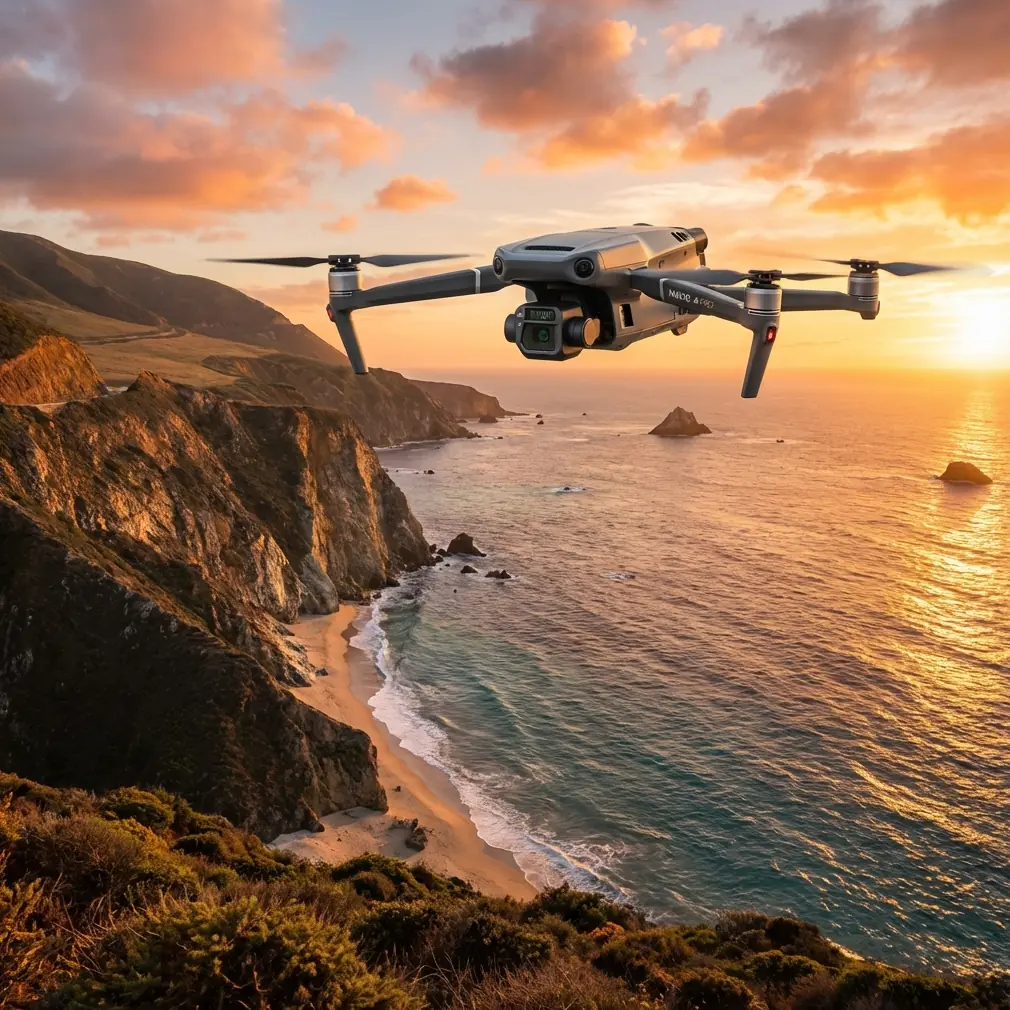
Wind doesn't wait for perfect conditions. When you're tasked with surveying thousands of hectares of forestland for fire risk assessment, wildlife monitoring, or timber inventory, weather windows close fast. The Mavic 3T has become my go-to platform for these demanding missions—but only after learning some hard lessons about what works in gusty, unpredictable forest environments.
This guide covers the specific techniques I've developed over 200+ forest survey missions using the Mavic 3T. You'll learn how to maximize thermal imaging effectiveness, maintain stable flight in wind, and manage your batteries for extended coverage.
Understanding Wind Dynamics in Forest Environments
Forest scouting presents unique aerodynamic challenges. Wind doesn't flow uniformly over tree canopies—it creates turbulent eddies, downdrafts at clearings, and accelerated channels through valleys.
The Mavic 3T's Wind Performance
The aircraft handles sustained winds up to 12 m/s and gusts to 15 m/s. In practice, this means:
- Stable hover at 50m AGL in 8-10 m/s winds
- Reliable waypoint tracking with ±2m accuracy in moderate gusts
- Increased power consumption of 15-25% compared to calm conditions
- Reduced flight time from 45 minutes to approximately 32-35 minutes
Expert Insight: Wind speed at canopy level often differs dramatically from ground measurements. I use a portable anemometer mounted on a 3m telescoping pole to get readings closer to actual flight altitude. This simple tool has prevented numerous mission aborts.
Pre-Flight Wind Assessment Protocol
Before launching any forest survey mission, I follow this checklist:
- Check forecast winds at multiple altitudes (surface, 500ft, 1000ft)
- Identify wind direction relative to terrain features
- Plan flight paths perpendicular to prevailing wind when possible
- Set conservative return-to-home altitude accounting for gusts
- Verify O3 transmission strength from planned launch point
Thermal Imaging Strategies for Canopy Penetration
The Mavic 3T's 640×512 thermal sensor with 30Hz refresh rate excels at detecting thermal signatures through forest environments. However, dense canopy requires specific techniques.
Optimal Flight Parameters for Thermal Detection
| Parameter | Open Terrain | Moderate Canopy | Dense Forest |
|---|---|---|---|
| Altitude AGL | 80-120m | 60-80m | 40-60m |
| Gimbal Angle | -90° (nadir) | -60° to -75° | -45° to -60° |
| Flight Speed | 8-10 m/s | 5-7 m/s | 3-5 m/s |
| Overlap | 70% | 75% | 80% |
| Thermal Palette | White Hot | White Hot | Ironbow |
Lower altitudes in dense forest improve thermal signature detection but increase collision risk. The Mavic 3T's omnidirectional obstacle sensing provides a safety margin, though I recommend setting obstacle avoidance to Brake mode rather than Bypass in forest environments.
Time-of-Day Considerations
Thermal contrast varies dramatically throughout the day:
- Pre-dawn (4-6 AM): Maximum thermal contrast for wildlife detection
- Mid-morning (9-11 AM): Good for identifying heat-stressed vegetation
- Solar noon: Poor contrast, avoid thermal surveys
- Late afternoon (4-6 PM): Moderate contrast, useful for fire risk assessment
- Post-sunset (7-9 PM): Excellent for detecting residual heat signatures
Pro Tip: For wildlife surveys, I've found the 30 minutes before sunrise provides the best thermal signature clarity. Animals are active, ambient temperatures are low, and there's just enough light for the wide camera to capture contextual imagery simultaneously.
Battery Management: The Field Experience That Changed Everything
Here's the battery management tip that transformed my forest survey efficiency: temperature cycling.
During a three-day timber assessment in the Pacific Northwest, I was losing 20% of my planned coverage due to cold-weather battery performance. Morning temperatures hovered around 5°C, and my batteries were showing reduced capacity warnings within 15 minutes of flight.
The solution came from understanding the Mavic 3T's battery chemistry. These intelligent batteries perform optimally between 20-40°C. In cold forest environments, I now implement this protocol:
The Temperature Cycling Method
- Pre-warm batteries in an insulated cooler with hand warmers (target: 25°C)
- Fly first battery until 40% remaining
- Land and swap to second pre-warmed battery
- Place depleted battery back in warmed cooler immediately
- Continue rotation through battery set
This approach increased my effective flight time per battery by 18% in cold conditions. The key insight: batteries that cool below 15°C after partial discharge lose significantly more capacity than those maintained at optimal temperature.
Hot-Swap Battery Strategy for Extended Missions
For comprehensive forest surveys, I carry six batteries and follow this rotation:
- Batteries 1-2: Active flight rotation
- Batteries 3-4: Warming/charging in vehicle
- Batteries 5-6: Fully charged reserve
With this system, I've completed continuous 6-hour survey operations covering over 800 hectares in a single day.
Flight Planning for Photogrammetry in Forested Terrain
Accurate photogrammetry in forests requires careful GCP (Ground Control Point) placement and flight path optimization.
GCP Placement Challenges
Traditional GCP placement assumes clear ground visibility. In forests, this requires adaptation:
- Place GCPs in natural clearings or along forest roads
- Use high-contrast targets (minimum 60cm diameter)
- Ensure at least 5 GCPs visible per flight block
- Consider elevated GCPs on stumps or platforms in dense areas
Waypoint Mission Configuration
The Mavic 3T's waypoint system handles complex forest terrain effectively when configured properly:
- Set terrain follow mode with SRTM data loaded
- Configure safe altitude at least 30m above highest canopy
- Enable obstacle avoidance with 15m buffer distance
- Plan crosshatch patterns for complete coverage
- Include manual inspection points at areas of interest
Data Security and Transmission Considerations
Forest surveys often involve sensitive data—timber valuations, wildlife locations, or fire risk assessments. The Mavic 3T's AES-256 encryption protects video transmission, but additional protocols ensure data integrity.
Secure Data Handling Protocol
- Enable local data mode to prevent cloud synchronization
- Use encrypted SD cards for mission storage
- Transfer data via direct USB connection only
- Maintain chain of custody documentation for legal surveys
- Implement BVLOS procedures only with proper authorization
The O3 transmission system maintains 15km theoretical range, though forest environments typically limit practical range to 5-8km due to signal obstruction. For extended BVLOS operations, I position relay personnel at 2km intervals along the flight path.
Common Mistakes to Avoid
Ignoring micro-weather patterns: Forest valleys create their own wind systems. A calm launch site doesn't guarantee calm conditions 500m into your survey area.
Flying too high for thermal detection: The temptation to maximize coverage area leads many pilots to fly at 100m+ over forests. This altitude significantly reduces thermal signature detection through canopy.
Neglecting battery temperature: Cold batteries don't just reduce flight time—they can trigger unexpected low-voltage warnings and forced landings in inaccessible terrain.
Underestimating data storage needs: A single forest survey mission can generate 50GB+ of combined thermal and visual data. Carry multiple high-speed SD cards and verify write speeds before departure.
Skipping the pre-flight compass calibration: Forest environments often contain mineral deposits that affect compass accuracy. Calibrate at each new launch site, even if the aircraft doesn't request it.
Frequently Asked Questions
Can the Mavic 3T detect animals through dense forest canopy?
The thermal sensor can detect larger mammals (deer-sized and above) through moderate canopy with 60-70% reliability when flying at optimal altitudes (40-60m) during peak thermal contrast periods. Dense, multi-layer canopy reduces detection rates significantly. For wildlife surveys, focus on forest edges, clearings, and water sources where canopy gaps improve thermal visibility.
How does wind affect thermal image quality on the Mavic 3T?
Wind itself doesn't degrade thermal sensor performance, but the aircraft's compensation movements can introduce motion blur at slower shutter speeds. In winds above 8 m/s, I increase thermal capture rate and accept slightly higher overlap to ensure sharp imagery. The gimbal's 3-axis stabilization handles most compensation, but aggressive gusts may require post-processing stabilization.
What's the minimum safe altitude for forest surveys with obstacle avoidance enabled?
With obstacle avoidance active, the Mavic 3T requires approximately 15m of clearance to detect and avoid obstacles reliably. For forest surveys, I recommend maintaining minimum 25m AGL above the highest canopy point in your survey area. This provides margin for sensor detection limits and unexpected tall trees. Always verify canopy height data before establishing flight parameters.
Maximizing Your Forest Survey Success
Effective forest scouting with the Mavic 3T combines technical knowledge with field-tested procedures. The platform's thermal imaging capabilities, wind resistance, and intelligent battery system make it exceptionally capable for demanding survey work.
The techniques outlined here represent hundreds of hours of real-world application. Start with conservative parameters, document what works in your specific environment, and gradually optimize your procedures.
Ready for your own Mavic 3T? Contact our team for expert consultation.