Mavic 3T Scouting Tips for Urban Forest Environments
Mavic 3T Scouting Tips for Urban Forest Environments
META: Practical Mavic 3T guidance for scouting forests in urban areas, including optimal flight altitude, thermal search technique, transmission reliability, and mapping workflow.
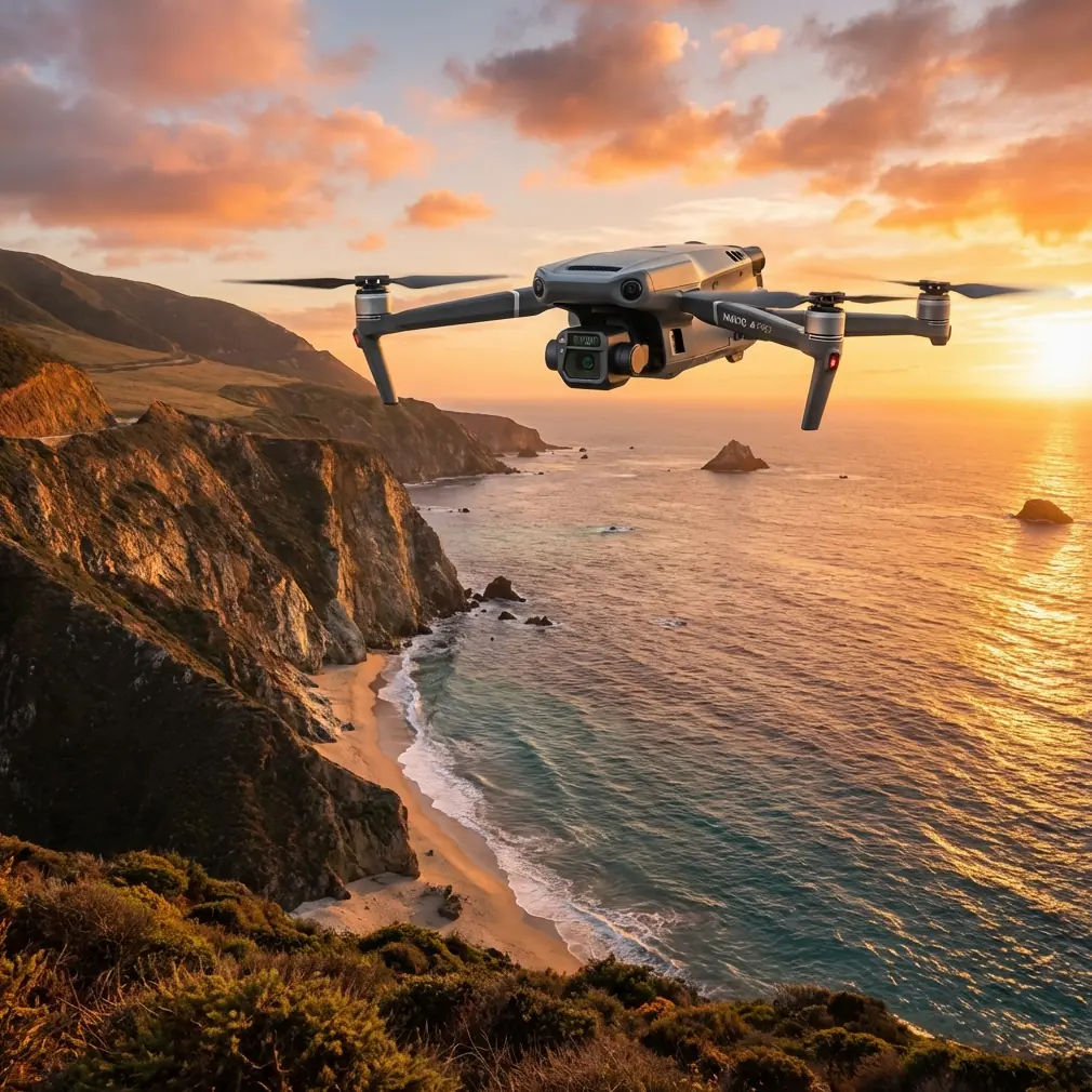
Urban forest scouting is a different job from flying over open woodland or farmland. Trees sit beside roads, roofs, power corridors, pedestrian paths, drainage channels, and heat-soaked buildings. The aircraft needs to handle cluttered airspace, shifting temperatures, and short windows for useful data capture. That is where the DJI Mavic 3T earns its place.
I have seen crews make the same mistake repeatedly with the Mavic 3T: they treat it like a simple camera drone and fly too high, too fast, or at the wrong time of day. In urban forest work, the value is not just in getting airborne. It is in extracting usable thermal and visual information while preserving enough spatial context to act on what you find.
This piece is built around one question: what is the best way to use the Mavic 3T when scouting forests in an urban setting?
Start with the mission, not the aircraft
“Scouting” can mean several things in this environment:
- checking tree health along park edges
- locating irrigation leaks or drainage anomalies
- spotting heat contrast from stressed vegetation
- identifying canopy gaps after storms
- reviewing access routes before arborist or survey teams enter
- creating a fast map layer for follow-up photogrammetry
The Mavic 3T is unusually well suited to this mixed mission profile because it combines thermal imaging and a wide visual camera on a compact platform. That matters in urban forest work because thermal anomalies without visual context can waste time, and visual-only flights often miss hidden patterns under dense canopy or around paved heat traps.
The operational significance is simple: one aircraft can gather two kinds of evidence in the same sortie. That shortens field time and reduces the chance that changing light or temperature will alter your interpretation between flights.
The flight altitude most crews should start with
If your scenario is urban forest scouting, a practical starting altitude is 50 to 80 meters above ground level for broad-area review, then dropping to 25 to 40 meters for thermal confirmation and detailed visual inspection.
That range is not arbitrary.
At roughly 50 to 80 meters, the Mavic 3T gives you enough separation from the canopy to safely read the overall structure of the site while keeping enough detail to notice thermal irregularities and breaks in vegetation pattern. In urban forests, this middle band usually gives the best balance between three competing needs:
- Context — seeing trees in relation to roads, buildings, fences, footpaths, and water movement
- Thermal readability — maintaining enough target size to interpret a thermal signature properly
- Safety margin — staying clear of unexpected branch height variation and minimizing aggressive maneuvering near obstacles
Go much higher and you may still collect a nice overview, but subtle thermal differences become harder to trust, especially when the targets are partial canopy stress, damp soil edges, or warm infrastructure bleeding into planted zones. Go too low too early and the mission becomes slow, fragmented, and riskier around trunks, lamp posts, wires, and uneven treetops.
For most first-pass urban forest scouting, I recommend this sequence:
- Initial scan: 60 meters AGL
- Thermal follow-up: 35 meters AGL
- Target verification: hover or orbit carefully at 25 to 30 meters where airspace and obstacles permit
That workflow gives you a fast macro view first, then enough resolution to validate what you think you saw.
Why thermal timing matters more than many pilots expect
The phrase “thermal signature” gets thrown around casually, but in urban forestry it is easy to misread. Pavement, masonry, parked vehicles, rooftops, and drainage infrastructure all store and release heat differently from vegetation. A stressed tree line next to a retaining wall may look more dramatic at one time of day than another, not because the trees changed, but because the background did.
With the Mavic 3T, the best scouting windows for urban forest thermal work are often:
- early morning, when solar loading has not yet flattened the contrast
- late evening, after the strongest reflected heat has eased
That is especially relevant when comparing planted areas beside roads or buildings. During midday, surface heating can wash out subtle thermal clues. If you are trying to identify irrigation failures, root-zone moisture issues, or isolated stress pockets, schedule the flight when the environment is not shouting over the target.
Operationally, this means your altitude choice and your timing should work together. A 35-meter confirmation pass in soft morning conditions can reveal more than a lower, riskier flight done under hard midday heating.
O3 transmission in real urban forest conditions
One of the overlooked strengths of the Mavic 3T platform is O3 transmission. On paper, people talk about range. In practice, urban forest crews care more about link stability when trees, structures, and local interference are constantly competing with line-of-sight.
That matters because urban forest sites are rarely clean RF environments. Buildings reflect signal. Tree density breaks sightlines. Terrain shifts. Even a small ridgeline or stand of mature trees can interrupt a smooth flight path. O3 helps maintain a more reliable live view and control link, which directly improves decision-making during slow thermal work.
The key is not to become complacent. Use O3 as a margin of confidence, not an excuse to push into poor positioning. If your route moves behind dense canopy clusters or near structural obstruction, reposition the pilot or visual observer to preserve the cleanest possible signal geometry.
If your operation is working under approved BVLOS frameworks, this becomes even more procedural. The aircraft may have the transmission capability, but the mission should still be designed around risk controls, communication discipline, and site-specific constraints rather than advertised performance assumptions.
Security matters when the data is sensitive
Urban forest scouting can involve campuses, residential boundaries, utility easements, municipal parks, or private estates. Even when the mission is routine vegetation assessment, the imagery can include sensitive infrastructure or property detail.
That is where AES-256 encryption matters. It is not a headline feature for casual users, but for commercial operators and city contractors it is operationally significant. Secure transmission and data handling help protect location data, thermal imagery, and inspection findings from unnecessary exposure. If your work touches public-sector land management or regulated corporate sites, that matters as much as camera quality.
A lot of teams focus heavily on collecting data and too little on protecting it. The Mavic 3T gives you a stronger baseline for responsible operations in environments where privacy and infrastructure sensitivity are real concerns.
How to use the Mavic 3T for a two-layer scouting workflow
The best urban forest results usually come from a two-layer mission design: rapid thermal reconnaissance followed by structured visual mapping.
Layer 1: Thermal reconnaissance
Fly the primary area at 50 to 80 meters AGL with moderate overlap in your passes. You are not trying to build a perfect thermal map on the first run. You are trying to detect patterns:
- tree rows with abnormal heat contrast
- water accumulation or drainage irregularities
- stressed vegetation edges next to hardscape
- concealed warm surfaces influencing root zones
- recent disturbance footprints after maintenance or weather events
Mark anomalies as you go. Do not chase every heat spot immediately. Keep the grid clean and note clusters.
Layer 2: Visual and mapping follow-up
Then shift to lower altitude for visual confirmation and, if required, photogrammetry. The wide camera can support mapping-grade capture when the site needs documentation beyond reconnaissance. If the output will support planning, habitat maintenance, arborist mobilization, or contractor coordination, use GCP points where practical to tighten spatial accuracy.
That detail is operationally significant. In urban forestry, small positional errors matter. A drainage issue on the wrong side of a path, or a mislocated stress zone near underground services, can send a field crew to the wrong place. GCP-supported mapping is not always necessary for a quick scout, but when the data will influence work orders or engineering follow-up, it is worth the discipline.
Battery planning is part of the scouting strategy
Compact platforms are efficient, but urban forest missions often become stop-start operations. You pause to verify a thermal anomaly, reframe a canopy edge, or repeat a pass due to obstruction or pedestrian activity. Battery planning can make or break the pace of the job.
For teams running multiple sorties in one session, hot-swap batteries as a field habit keep momentum high. Even if your specific workflow requires powering down between changes, the concept still applies: stage your batteries, mission segments, and memory workflow so the aircraft is back in the air with minimal dead time. The point is continuity.
This is not just about convenience. Thermal environments change. Light angles change. Public spaces get busier. If you stretch a site visit too long because your battery and sortie planning are sloppy, the second half of your dataset may no longer match the first half in a useful way.
Obstacle awareness: the hidden challenge in urban tree work
The Mavic 3T is portable enough to be deployed quickly, which makes it tempting to fly reactively. Resist that urge.
Urban forest environments contain the worst combination for rushed drone work: branches, poles, wires, reflective surfaces, moving people, and abrupt transitions from open space to enclosed canopy. Before takeoff, identify:
- tallest canopy points
- likely GPS-compromised edges near structures
- takeoff and recovery zones clear of loose debris
- sun angle relative to visual camera tasks
- interference sources and signal shadows
- emergency retreat directions
When descending from the 60-meter overview pass to the 30-meter confirmation layer, do not simply drop straight onto a target unless the vertical path is fully clear. In mixed tree cover, lateral repositioning before descent is often the safer move.
A practical example: scouting a municipal green corridor
Imagine a greenbelt running between apartment blocks, a bicycle path, and a stormwater channel. The complaint is vague: sections of the canopy look stressed, and there may be poor drainage after recent rain.
A useful Mavic 3T workflow would look like this:
- Launch from an open edge with strong sky visibility.
- Fly a broad pass at 60 meters AGL to read the corridor structure and identify thermal outliers.
- Note recurring warm zones near path edges and one cool, saturated section along the channel.
- Return at 35 meters AGL for thermal confirmation.
- Shift to visual inspection to determine whether the warm areas align with thin canopy, compacted soil, or adjacent hardscape heating.
- If the site needs reporting-grade records, run a tighter visual mapping mission with measured overlap and GCP support.
- Export a map layer and anomaly notes for the ground team.
This is where the Mavic 3T shines. It is not just showing “heat.” It is helping separate true vegetation concerns from false positives created by urban materials.
Keep your deliverables focused
Urban forestry clients rarely need every image you captured. They need a clear answer. Build your output around three things:
- where the anomaly is
- how confident you are that it is real
- what kind of follow-up is justified
For example, “thermal contrast suggests moisture variation along the western tree line, likely associated with drainage pattern and adjacent paved heat retention; confirm on foot with soil and root-zone assessment.” That is far more useful than handing over a folder full of screenshots.
If you need help refining a site workflow or comparing mission setups for your specific canopy density, send the scenario details through this WhatsApp line and frame the question around terrain, canopy height, and the output you actually need.
The core takeaway
The Mavic 3T works best in urban forest scouting when you use it as a decision tool, not a flying camera. Start at a moderate altitude, usually around 50 to 80 meters AGL, then descend for thermal confirmation once you have context. Use the thermal sensor to detect patterns, the visual camera to explain them, O3 transmission to maintain a dependable link in cluttered spaces, and AES-256-backed workflows when the site data is sensitive.
Add photogrammetry and GCP discipline when the mission needs mapping rather than simple reconnaissance. Plan battery swaps around consistency, not just endurance. Most of all, choose your flight time carefully. In this kind of work, the wrong hour can hide the story you came to find.
Ready for your own Mavic 3T? Contact our team for expert consultation.