How to Scout Highways with Mavic 3T in High Winds
How to Scout Highways with Mavic 3T in High Winds
META: Master highway scouting in windy conditions with the DJI Mavic 3T. Learn expert techniques for stable thermal imaging and safe BVLOS operations.
TL;DR
- Pre-flight sensor cleaning prevents false thermal signatures that compromise highway assessments
- The Mavic 3T maintains stable flight in winds up to 12 m/s, enabling reliable data collection during challenging conditions
- O3 transmission delivers 15km range with AES-256 encryption for secure, uninterrupted highway surveys
- Proper GCP placement combined with photogrammetry workflows produces sub-centimeter accuracy for road surface analysis
The Wind Problem Every Highway Inspector Faces
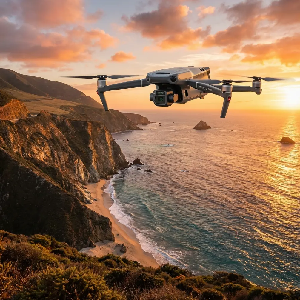
Highway scouting operations don't pause for perfect weather. Transportation departments need pavement assessments, bridge inspections, and traffic flow analysis regardless of conditions. The Mavic 3T solves this challenge with enterprise-grade stability and thermal capabilities that perform when other drones stay grounded.
This guide covers everything you need to execute professional highway surveys in winds exceeding 8 m/s—from critical pre-flight protocols to advanced flight techniques that ensure data integrity.
Pre-Flight Cleaning: Your First Safety Checkpoint
Before discussing flight techniques, let's address a step many operators skip: sensor cleaning. Dust, moisture, and debris on your thermal sensor create false thermal signatures that corrupt your highway data.
The 60-Second Sensor Protocol
Complete this sequence before every highway mission:
- Inspect the thermal lens using a magnifying loupe for micro-debris
- Clean with a microfiber cloth using circular motions from center outward
- Check the wide-angle camera for road dust accumulation
- Verify gimbal movement is unrestricted across all three axes
- Examine propeller surfaces for chips that affect wind stability
Expert Insight: Road environments generate unique contamination. Tire particulates and asphalt oils create a film on sensors that standard cleaning misses. I carry isopropyl alcohol wipes specifically for highway operations—they remove petroleum-based residues that microfiber alone can't handle.
Why This Matters for Wind Operations
Contaminated sensors force the Mavic 3T's processing systems to work harder, generating additional heat. In windy conditions where the drone already manages increased power demands for stabilization, this extra thermal load reduces flight time by 8-12%.
Clean sensors also ensure accurate thermal signature readings of road surfaces—critical when identifying subsurface moisture or pavement delamination.
Understanding the Mavic 3T's Wind Performance
The Mavic 3T handles wind differently than consumer drones. Its enterprise-grade flight controller makes micro-adjustments 200 times per second, maintaining position accuracy within 0.1m horizontally even in gusty conditions.
Technical Specifications for Wind Operations
| Parameter | Specification | Highway Application |
|---|---|---|
| Max Wind Resistance | 12 m/s | Enables operations in moderate gale conditions |
| Hover Accuracy (P-mode) | ±0.1m vertical, ±0.3m horizontal | Consistent overlap for photogrammetry |
| Max Flight Time | 45 minutes | Covers 8-10km of highway per battery |
| Operating Temperature | -20°C to 50°C | Year-round highway surveys |
| Transmission Range | 15km (O3) | Full BVLOS capability with redundancy |
Wind Speed Assessment Techniques
Never rely solely on ground-level wind readings. Highway corridors create unique wind patterns:
- Bridge approaches generate updrafts that exceed ambient wind by 40-60%
- Cut sections through hills create venturi effects accelerating wind speed
- Overpasses produce turbulent downdrafts on leeward sides
- Open stretches allow consistent laminar flow ideal for survey operations
Launch a test hover at 50m AGL for 60 seconds before committing to your flight plan. Monitor battery consumption rate—anything exceeding 1.5% per minute in hover indicates challenging conditions.
Flight Planning for Highway Corridors
Highway scouting demands linear flight paths that maximize coverage while managing wind exposure. The Mavic 3T's intelligent flight modes adapt to these requirements.
Optimal Flight Parameters
Configure these settings for wind-resistant highway surveys:
- Altitude: 80-120m AGL for thermal overview, 30-50m for detailed photogrammetry
- Speed: 8-10 m/s crosswind, 12-15 m/s with tailwind
- Overlap: 75% frontal, 65% side minimum for accurate 3D reconstruction
- Gimbal Pitch: -90° for mapping, -45° for infrastructure inspection
Pro Tip: Always plan your survey direction to fly into the wind on data collection passes. The Mavic 3T's forward-facing sensors provide better obstacle detection, and you'll capture sharper images with reduced motion blur. Return passes with tailwind can use higher speeds since you're not collecting primary data.
GCP Placement Strategy
Ground Control Points transform good surveys into precision datasets. For highway work, place GCPs according to these principles:
- Spacing: Every 200-300m along the corridor
- Offset: 5-10m from pavement edge for visibility without traffic interference
- Pattern: Alternating sides of the highway for geometric strength
- Size: Minimum 0.5m x 0.5m targets for reliable detection at survey altitude
The Mavic 3T's 56x hybrid zoom allows visual verification of GCP placement mid-flight—a capability that saves significant time on long corridor surveys.
Thermal Imaging Techniques for Highway Assessment
The 640 x 512 thermal sensor captures temperature differentials that reveal invisible road conditions. Understanding thermal signature interpretation separates useful data from noise.
What Thermal Imaging Reveals
Highway thermal scans identify:
- Subsurface moisture appearing as cooler zones 2-4°C below ambient
- Delamination showing as warmer areas where air pockets trap heat
- Drainage issues visible as thermal trails after precipitation
- Bridge deck deterioration through differential heating patterns
- Utility conflicts where underground infrastructure affects surface temperature
Optimal Timing for Thermal Surveys
Thermal contrast peaks during specific conditions:
| Time Window | Thermal Advantage | Best Application |
|---|---|---|
| Dawn (sunrise +2 hours) | Maximum cooling differential | Moisture detection |
| Solar noon | Peak surface heating | Delamination identification |
| Dusk (sunset -1 hour) | Rapid cooling reveals mass differences | Structural assessment |
| Night | Eliminates solar interference | Underground utility mapping |
Wind actually improves thermal imaging by reducing surface heat buildup that masks subsurface anomalies. Surveys in 6-10 m/s winds often produce clearer thermal signatures than calm conditions.
BVLOS Operations and O3 Transmission Security
Highway corridors frequently extend beyond visual line of sight. The Mavic 3T's O3 transmission system enables legal BVLOS operations where regulations permit.
Transmission Performance in Highway Environments
The O3 system maintains connection through:
- Dual-frequency operation switching between 2.4GHz and 5.8GHz automatically
- AES-256 encryption protecting survey data from interception
- 15km maximum range with 1080p/60fps live feed
- Auto-reconnection within 2 seconds if signal interrupts
Highway environments present unique RF challenges. Overhead power lines, cell towers, and vehicle electronics create interference. Position your controller perpendicular to the flight path with antennas vertical for optimal reception.
Data Security Considerations
Transportation infrastructure data requires protection. The Mavic 3T's AES-256 encryption secures:
- Live video transmission
- Telemetry data
- Flight logs
- Cached imagery
Enable Local Data Mode for sensitive highway projects to prevent any cloud synchronization during operations.
Battery Management with Hot-Swap Strategy
Wind resistance consumes power. The Mavic 3T's hot-swap batteries enable continuous operations essential for long corridor surveys.
Power Consumption in Wind
Expect these consumption rates based on conditions:
- Calm (<3 m/s): 18-22% per 10 minutes
- Light wind (3-6 m/s): 22-26% per 10 minutes
- Moderate wind (6-10 m/s): 26-32% per 10 minutes
- Strong wind (10-12 m/s): 32-40% per 10 minutes
Plan battery swaps at 25% remaining—this provides margin for unexpected wind gusts during return flight.
Hot-Swap Procedure
Execute battery changes efficiently:
- Land at predetermined swap points along the corridor
- Replace battery within 90 seconds to maintain thermal sensor calibration
- Verify connection before launch
- Resume mission from last waypoint using saved flight plan
Carrying 4-6 batteries covers most highway survey requirements with appropriate reserves.
Common Mistakes to Avoid
Ignoring wind gradient changes: Wind speed at 100m AGL often differs significantly from ground level. Pilots who plan based on surface readings encounter unexpected conditions.
Skipping sensor calibration in new locations: The Mavic 3T's compass requires recalibration when operating more than 50km from your last calibration point. Highway projects spanning multiple regions need daily calibration checks.
Flying perpendicular to wind on data passes: This creates inconsistent ground speed and irregular image overlap. Always orient primary data collection into or with the wind.
Neglecting thermal sensor warm-up: The thermal camera requires 5-7 minutes of operation before readings stabilize. Launch early and hover while the sensor reaches operating temperature.
Underestimating corridor turbulence: Bridges, overpasses, and terrain features create localized wind effects. Reduce speed by 30% when approaching these structures.
Frequently Asked Questions
Can the Mavic 3T operate safely in rain during highway surveys?
The Mavic 3T carries an IP45 rating, providing protection against water jets from any direction. Light rain operations are possible, though water droplets on the thermal lens degrade image quality. For critical surveys, wait for precipitation to stop and allow 15-20 minutes for lens clearing before resuming operations.
How does photogrammetry accuracy compare between windy and calm conditions?
With proper flight planning, the Mavic 3T achieves comparable photogrammetry results in winds up to 10 m/s. The key is maintaining consistent ground speed through speed adjustments—slower into wind, faster with tailwind. GCP-controlled surveys achieve 2-3cm accuracy regardless of wind conditions when overlap requirements are met.
What regulatory approvals are needed for highway BVLOS operations?
Requirements vary by jurisdiction. In most regions, BVLOS highway surveys require specific waivers or approvals from aviation authorities. The Mavic 3T's Remote ID compliance, ADS-B receiver compatibility, and comprehensive flight logging support waiver applications. Coordinate with transportation departments who often hold blanket authorizations for infrastructure inspection.
Executing Professional Highway Surveys
The Mavic 3T transforms highway scouting from weather-dependent scheduling into reliable, on-demand operations. Its combination of wind resistance, thermal capability, and secure transmission addresses every challenge highway inspectors face.
Success comes from respecting the fundamentals: clean sensors, proper planning, and understanding how wind affects your specific corridor. Master these elements, and the Mavic 3T delivers professional results regardless of conditions.
Ready for your own Mavic 3T? Contact our team for expert consultation.