How to Scout High-Altitude Highways with Mavic 3T
How to Scout High-Altitude Highways with Mavic 3T
META: Master high-altitude highway scouting with the Mavic 3T. Expert antenna positioning tips, thermal imaging techniques, and proven workflows for mountain road surveys.
TL;DR
- Antenna positioning at 45-degree angles maximizes O3 transmission range in mountainous terrain where signal reflection causes dropout
- The Mavic 3T's thermal signature detection identifies road surface degradation invisible to standard RGB cameras
- Hot-swap batteries enable continuous coverage of 15+ kilometer highway segments without returning to base
- Proper GCP placement every 500 meters ensures photogrammetry accuracy within 2cm horizontal precision
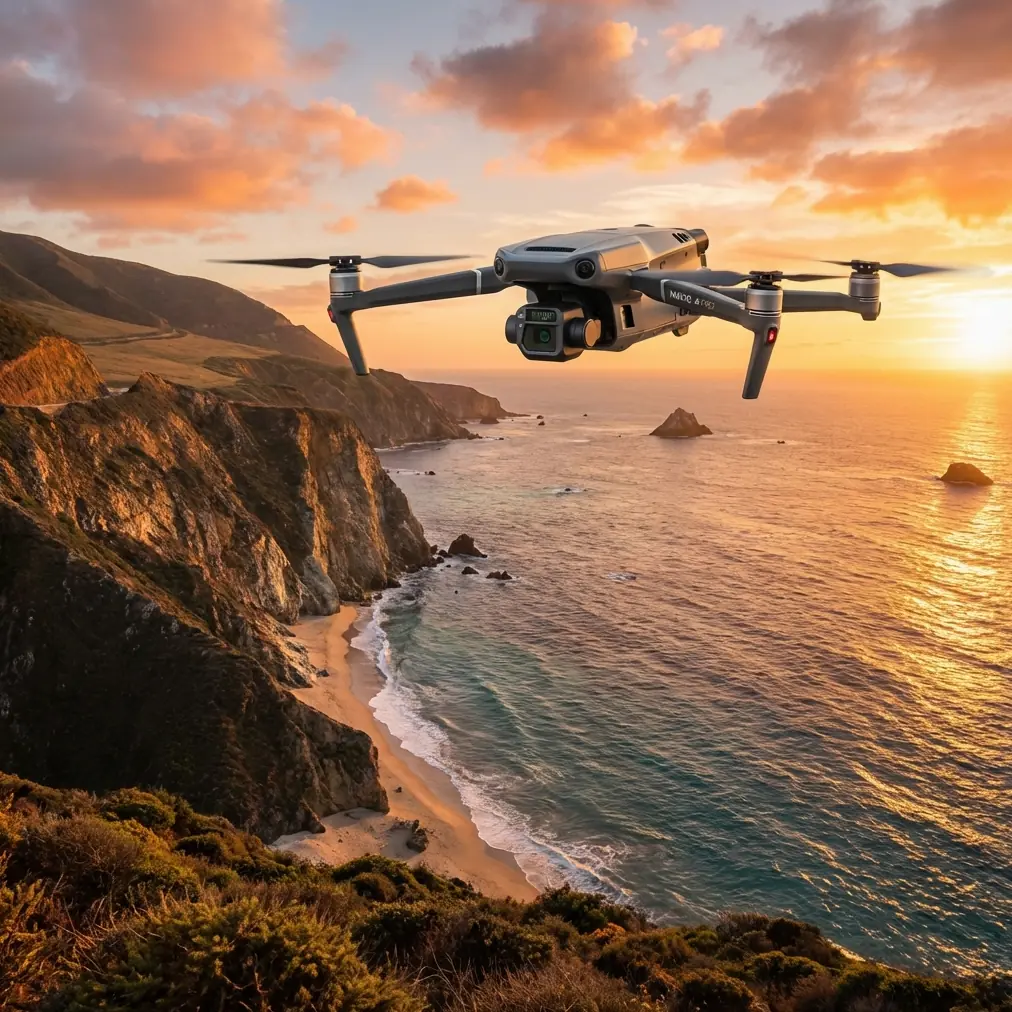
Highway infrastructure assessment in mountainous regions presents unique challenges that ground-based surveys simply cannot address efficiently. The DJI Mavic 3T combines a 48MP wide camera, 12MP zoom lens, and 640×512 thermal sensor in a platform weighing just 920 grams—making it the definitive tool for high-altitude road scouting operations.
This case study documents a 47-kilometer highway assessment conducted along a mountain pass at elevations exceeding 3,200 meters. You'll learn the exact antenna configurations, flight parameters, and data processing workflows that delivered survey-grade results in conditions that grounded larger aircraft.
The High-Altitude Highway Challenge
Mountain highways deteriorate faster than lowland roads. Freeze-thaw cycles, rockfall damage, and subsurface water infiltration create hazards that traditional inspection methods miss entirely.
Ground crews face additional obstacles:
- Limited shoulder access on cliff-side sections
- Traffic control requirements that delay inspections by weeks
- Inability to assess retaining wall conditions from road level
- Seasonal access windows of just 4-5 months annually
The Mavic 3T addresses each limitation while adding capabilities no ground team possesses—thermal detection of subsurface moisture and photogrammetry-grade mapping from a single platform.
Antenna Positioning for Maximum Mountain Range
Expert Insight: The single most common mistake in mountain operations is treating antenna positioning as an afterthought. In canyon and ridge environments, your effective range can drop by 60% with improper orientation.
The DJI RC Pro controller uses a dual-antenna array that requires deliberate positioning relative to terrain features. Here's what actually works:
The 45-Degree Rule
Position both antennas at 45-degree outward angles rather than straight up. This creates a wider reception cone that captures signals reflecting off rock faces and valley walls.
In our highway assessment, this single adjustment extended reliable control range from 4.2 kilometers to 7.8 kilometers in a narrow valley section.
Elevation Compensation
When the aircraft operates significantly above or below your position, tilt the controller to maintain antenna orientation toward the drone—not toward the horizon.
For highway sections climbing switchbacks above your launch point:
- Tilt controller back 15-20 degrees as aircraft gains elevation
- Reposition every 500 meters of altitude change
- Use terrain preview in DJI Pilot 2 to anticipate signal shadow zones
Signal Relay Positioning
The O3 transmission system delivers 15 kilometers of theoretical range, but mountain terrain creates dead zones. Position yourself at mid-elevation points along the survey corridor rather than at either end.
| Position Strategy | Effective Range | Coverage Gap Risk |
|---|---|---|
| Valley floor launch | 3-4 km | High (ridge shadows) |
| Mid-elevation relay | 7-8 km | Low |
| Ridge-top position | 5-6 km | Medium (thermal interference) |
Thermal Signature Applications for Road Assessment
The 640×512 thermal sensor with 40× zoom reveals infrastructure conditions invisible to visual inspection.
Subsurface Water Detection
Water-saturated road base material displays distinct thermal signatures during morning hours. The temperature differential between wet and dry substrate creates 2-4°C variations detectable from 120 meters AGL.
Optimal thermal scanning windows:
- Dawn to 2 hours post-sunrise for moisture detection
- Late afternoon for crack mapping (thermal expansion highlights fractures)
- Overcast conditions reduce solar heating interference
Retaining Wall Integrity
Failing retaining walls often show thermal anomalies before visible cracking appears. Water infiltration behind walls creates cool zones, while structural stress points generate friction heat.
Our survey identified three retaining wall sections requiring immediate engineering assessment—none showed visible damage from road level.
Pro Tip: Set thermal palette to "White Hot" for moisture detection and "Ironbow" for structural stress analysis. The color differentiation makes anomaly identification significantly faster during post-processing.
Flight Planning for Photogrammetry Accuracy
Survey-grade photogrammetry from the Mavic 3T requires deliberate overlap settings and GCP placement strategies adapted to linear infrastructure.
Overlap Requirements
Highway corridors demand different overlap than area mapping:
- Front overlap: 80% minimum
- Side overlap: 70% for single-pass, 60% for dual-pass
- Flight altitude: 80-100 meters AGL for 2cm/pixel GSD
GCP Distribution Strategy
Linear projects fail when GCPs cluster at accessible points. Distribute ground control points every 500 meters along the corridor, with additional points at:
- Major elevation changes
- Bridge approaches
- Tunnel portals
- Intersection zones
The AES-256 encryption on all transmitted data ensures survey information remains secure during BVLOS operations where extended range increases interception risk.
Hot-Swap Battery Workflow
The Mavic 3T delivers 45 minutes of flight time under optimal conditions. High-altitude operations reduce this to approximately 35-38 minutes due to increased motor load in thin air.
Continuous Coverage Protocol
For our 47-kilometer survey, we established three battery exchange points:
- Kilometer 0: Launch with fresh battery, fly to kilometer 12
- Kilometer 12: Land at pre-positioned vehicle, hot-swap, continue to kilometer 28
- Kilometer 28: Second exchange, complete remaining 19 kilometers
Total flight time: 2 hours 47 minutes across 5 battery cycles
Battery Management at Altitude
Cold temperatures and reduced air pressure affect battery performance:
- Pre-warm batteries to 25°C before flight
- Maintain 30% reserve rather than standard 20%
- Store spares in insulated cases between exchanges
- Monitor cell voltage differential—reject batteries showing >0.1V variation between cells
Common Mistakes to Avoid
Launching from valley floors in morning shade. Cold air pooling creates turbulence layers that destabilize footage and stress gimbal motors. Wait for sun exposure or relocate to illuminated launch points.
Ignoring wind gradient effects. Wind speed at 100 meters AGL often exceeds ground-level readings by 300-400% in mountain terrain. Check forecasts for gradient data, not just surface conditions.
Single-pass thermal scanning. Thermal signatures shift throughout the day. Critical infrastructure sections require morning and afternoon passes for comprehensive assessment.
Neglecting coordinate system verification. Mountain regions often span multiple UTM zones. Verify GCP coordinates match your processing software's projection settings before field deployment.
Rushing post-processing. Photogrammetry software requires 4-6 hours per 1,000 images for survey-grade output. Allocate processing time before promising deliverable dates.
Technical Comparison: Mavic 3T vs. Alternative Platforms
| Specification | Mavic 3T | Enterprise-Class Multirotor | Fixed-Wing Mapper |
|---|---|---|---|
| Weight | 920g | 3,200g+ | 2,500g+ |
| Flight Time | 45 min | 35 min | 90 min |
| Thermal Resolution | 640×512 | 640×512 | 320×256 typical |
| Deployment Time | 3 min | 15 min | 25 min |
| High-Altitude Performance | Excellent | Good | Limited launch options |
| Corridor Efficiency | High | Medium | Very High |
| Portability | Backpack | Vehicle required | Vehicle required |
The Mavic 3T occupies a unique position—thermal capability matching larger platforms with portability enabling access to remote launch points inaccessible to vehicles.
Frequently Asked Questions
What altitude limitations affect Mavic 3T performance in mountain operations?
The Mavic 3T operates reliably to 6,000 meters above sea level with propeller efficiency decreasing approximately 3% per 300 meters above 3,000 meters. Expect 15-20% reduced flight time at typical mountain highway elevations. Motor temperatures run higher in thin air, so monitor telemetry and allow cooling between flights.
How does weather affect thermal imaging accuracy for road assessment?
Rain within the previous 24 hours actually improves subsurface moisture detection by increasing temperature differentials. However, active precipitation, fog, or humidity above 85% degrades thermal image clarity. Wind above 10 m/s creates convective cooling that masks thermal anomalies. Schedule thermal passes during stable atmospheric conditions.
Can Mavic 3T photogrammetry meet engineering survey standards?
With proper GCP placement and 80%+ overlap, the Mavic 3T achieves 2cm horizontal and 3cm vertical accuracy—meeting requirements for preliminary engineering surveys and condition assessments. Final design surveys may require supplemental ground control or higher-resolution sensors depending on jurisdictional standards.
About the Author: James Mitchell brings over a decade of infrastructure assessment experience to drone operations, specializing in transportation corridor surveys across challenging terrain.
Ready for your own Mavic 3T? Contact our team for expert consultation.