Mavic 3T: Master Highway Scouting in Dusty Terrain
Mavic 3T: Master Highway Scouting in Dusty Terrain
META: Learn how the DJI Mavic 3T transforms dusty highway scouting with thermal imaging, 56× zoom, and rugged design. Expert tips for infrastructure professionals.
TL;DR
- Pre-flight dust management is critical—clean sensors and gimbal before every dusty highway mission
- The Mavic 3T's 56× hybrid zoom and 640×512 thermal sensor detect road hazards through dust haze
- O3 transmission maintains stable video feed up to 15km even in challenging atmospheric conditions
- Proper GCP placement and photogrammetry workflows ensure survey-grade accuracy for highway planning
Why Dusty Highway Scouting Demands Specialized Equipment
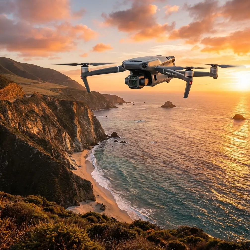
Highway scouting in arid regions presents unique challenges that consumer drones simply cannot handle. The Mavic 3T combines a 48MP wide camera, 12MP zoom camera, and thermal imaging sensor in a single compact platform—giving infrastructure teams the versatility to assess road conditions, identify thermal signatures from underground utilities, and document terrain features without multiple aircraft.
Dust particles wreak havoc on optical systems and cooling mechanisms. Before we dive into operational techniques, understanding how to protect your investment while maximizing data quality separates amateur surveys from professional-grade deliverables.
Pre-Flight Dust Management: Your First Safety Protocol
Every successful dusty environment mission begins before takeoff. Particulate contamination ranks among the top causes of gimbal failures and degraded image quality in arid operations.
Essential Cleaning Checklist
- Gimbal and camera lenses: Use a rocket blower (never compressed air) to remove particles before wiping with microfiber
- Cooling vents: Clear intake and exhaust ports on the aircraft body to prevent overheating
- Propeller mounts: Inspect for dust accumulation that could cause vibration
- Battery contacts: Wipe terminals with isopropyl alcohol to ensure reliable hot-swap battery connections
- Obstacle avoidance sensors: Clean all 8 directional sensors to maintain APAS 5.0 functionality
Expert Insight: I carry a portable UV-C sterilization case on highway surveys. Beyond cleaning, it prevents fungal growth on lens coatings during humid overnight storage—a common issue when teams transition between climate zones during multi-day scouting projects.
Environmental Assessment Before Launch
Check wind conditions carefully. Dust devils and thermal updrafts common along asphalt corridors can appear suddenly. The Mavic 3T handles winds up to 12 m/s, but suspended particulates reduce visibility for both the pilot and the aircraft's vision systems.
Monitor the relative humidity. Below 20%, static electricity buildup increases dust adhesion to sensors. Above 60%, dust becomes mud on contact with cooling systems.
Configuring the Mavic 3T for Highway Thermal Surveys
The thermal sensor operates at 640×512 resolution with a 40° field of view—ideal for detecting subsurface anomalies, drainage issues, and pavement degradation that visible light cameras miss entirely.
Optimal Thermal Settings for Road Assessment
| Parameter | Recommended Setting | Purpose |
|---|---|---|
| Palette | White Hot | Best contrast for pavement analysis |
| Gain Mode | High Gain | Detects subtle temperature differentials |
| Isotherm | Enabled (custom range) | Highlights specific thermal signatures |
| FFC Mode | Auto | Maintains calibration in changing conditions |
| Measurement Mode | Spot + Area | Quantifies temperature at specific locations |
Identifying Critical Highway Features
Thermal imaging reveals what visible inspection cannot:
- Subsurface voids: Appear as cooler zones due to air pocket insulation
- Water infiltration: Shows distinct thermal signatures, especially during morning surveys when temperature differentials peak
- Utility crossings: Underground pipes and cables create linear thermal patterns
- Pavement delamination: Trapped moisture between layers produces characteristic thermal gradients
Pro Tip: Schedule thermal surveys during the thermal crossover period—typically 2-3 hours after sunrise or 1-2 hours before sunset. During these windows, subsurface features display maximum thermal contrast against surface temperatures, dramatically improving detection rates for buried infrastructure.
Photogrammetry Workflow for Survey-Grade Accuracy
Highway scouting often requires deliverables that meet engineering standards. The Mavic 3T's mechanical shutter eliminates rolling shutter distortion, critical for photogrammetry accuracy.
GCP Deployment Strategy
Ground Control Points transform relative accuracy into absolute positioning. For highway corridors:
- Place GCPs at maximum 100m intervals along the route centerline
- Position additional points at intersections, bridges, and grade changes
- Use high-contrast targets (black and white checkerboard pattern minimum 60cm×60cm)
- Survey each GCP with RTK GPS achieving 2cm horizontal accuracy
- Document GCP coordinates in both WGS84 and local state plane systems
Flight Planning Parameters
| Mission Type | Altitude (AGL) | Overlap | GSD Achieved |
|---|---|---|---|
| Corridor Overview | 120m | 70/70 | 3.2cm/px |
| Detailed Survey | 80m | 80/75 | 2.1cm/px |
| Intersection Mapping | 60m | 85/80 | 1.6cm/px |
| Thermal Assessment | 100m | 60/60 | N/A (thermal) |
The O3 transmission system maintains 1080p/60fps live feed throughout corridor missions, essential when operating near traffic or in areas requiring real-time situational awareness.
Leveraging 56× Zoom for Remote Inspection
The hybrid zoom system combines 4× optical with 14× digital zoom on the telephoto camera, enabling detailed inspection from safe standoff distances.
Practical Zoom Applications
Highway scouting benefits from zoom capabilities in numerous scenarios:
- Sign condition assessment: Read text and evaluate reflectivity from 200m+ distance
- Bridge joint inspection: Document expansion joint condition without closing lanes
- Guardrail damage: Identify impact damage and corrosion from aerial position
- Drainage structure evaluation: Inspect culvert inlets and headwalls without ground access
- Wildlife crossing documentation: Survey fence integrity and crossing structure condition
The split-screen display mode shows wide-angle context alongside zoomed detail simultaneously—invaluable when documenting specific features within larger corridor context.
Data Security for Infrastructure Projects
Highway scouting data often contains sensitive infrastructure information. The Mavic 3T implements AES-256 encryption for data storage and transmission.
Security Best Practices
- Enable Local Data Mode to prevent any network connectivity during sensitive missions
- Format SD cards using the aircraft's internal formatting function before each project
- Implement flight log encryption through DJI Pilot 2 enterprise settings
- Establish chain-of-custody documentation for all storage media
- Consider BVLOS operations under appropriate waivers to minimize ground crew exposure to sensitive areas
Managing Extended Operations with Hot-Swap Batteries
The Mavic 3T delivers 45 minutes of flight time per battery. Highway corridor missions often require multiple batteries to complete comprehensive surveys.
Battery Management Protocol
- Maintain batteries between 20-80% charge during storage
- Pre-warm batteries to minimum 20°C before flight in cool morning conditions
- Execute hot-swap procedures within 90 seconds to maintain GPS lock and mission continuity
- Carry minimum 4 batteries for every hour of planned flight time
- Log cycle counts and retire batteries exceeding 200 cycles from critical missions
Common Mistakes to Avoid
Ignoring dust accumulation between flights: Even short breaks allow particles to settle on sensors. Clean before every takeoff, not just at day's start.
Flying during peak thermal hours: Midday surveys produce washed-out thermal imagery with minimal contrast. The extra effort of early morning deployment pays dividends in data quality.
Insufficient GCP density on curves: Horizontal road curves require additional control points. The photogrammetry software struggles with geometric accuracy when GCPs only follow straight-line patterns.
Neglecting O3 transmission antenna orientation: The aircraft antennas perform best when the controller maintains line-of-sight. Dust haze already degrades signal—don't compound the problem with poor antenna geometry.
Skipping pre-mission sensor calibration: IMU and compass calibration in dusty environments should occur at the actual launch site, not at the hotel the night before. Local magnetic anomalies near highways (buried utilities, reinforced structures) affect compass accuracy.
Frequently Asked Questions
How does dust affect the Mavic 3T's obstacle avoidance system?
The 8 vision sensors and 2 infrared sensors can experience degraded performance when dust accumulates on their surfaces. Heavy atmospheric dust also reduces detection range as particles scatter the infrared signals. Clean sensors before flight and consider reducing maximum speed in dusty conditions to give the APAS 5.0 system additional reaction time. The aircraft will display warnings when sensor visibility drops below safe thresholds.
Can the Mavic 3T thermal camera detect pavement defects through dust clouds?
Thermal imaging penetrates suspended dust particles far better than visible light cameras. The 8-14μm longwave infrared spectrum passes through most atmospheric particulates with minimal attenuation. However, settled dust on the pavement surface can insulate thermal signatures, potentially masking subsurface defects. Schedule thermal surveys after wind events that clear surface dust while atmospheric conditions remain stable.
What BVLOS considerations apply to highway corridor surveys?
Beyond Visual Line of Sight operations require appropriate regulatory approval (Part 107 waiver in the United States). The Mavic 3T's 15km O3 transmission range and ADS-B receiver support BVLOS technically, but operational approval depends on airspace classification, visual observer placement, and documented safety case. Highway corridors often intersect controlled airspace near interchanges—verify airspace authorization through LAANC or manual approval before planning extended-range missions.
Ready for your own Mavic 3T? Contact our team for expert consultation.