Scouting Dusty Power Lines with the Mavic 3T
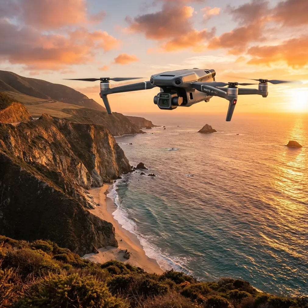
Scouting Dusty Power Lines with the Mavic 3T: Flight Altitude, Thermal Clarity, and What Actually Works
META: Practical Mavic 3T tips for dusty power line scouting, including optimal flight altitude, thermal use, transmission reliability, data security, and workflow advice for cleaner inspections.
Dust changes everything.
On paper, power line scouting with a Mavic 3T looks straightforward: fly the corridor, capture thermal and visual data, flag hot components, move on. In the field, airborne dust can flatten contrast, soften edges, and make a clean asset record harder to build than many crews expect. That is especially true when the mission is not a broad site overview but a repeatable inspection pass where the operator needs usable evidence, not just footage.
For that kind of work, the most useful question is not “Can the Mavic 3T do it?” It can. The better question is this: at what altitude does it start producing inspection-grade results in dusty conditions without wasting time or battery on unnecessary re-flights?
That is the center of the workflow.
As Dr. Lisa Wang would frame it, dusty power line scouting is really a balancing act between line-of-sight image quality, thermal separation, link stability, and operational efficiency. The Mavic 3T gives you the sensor mix and airframe agility to manage those variables, but only if you fly with a purpose.
The real problem in dusty power line scouting
Dust does not just obscure your visible camera. It also complicates thermal interpretation.
Operators often assume thermal will “see through” the mess. In practice, suspended dust, midday heat loading, and long standoff distances can all make it harder to distinguish a genuinely abnormal connector or insulator from a background that is simply hot and dirty. Add the fact that utility corridors often require long linear flights, and you have a recipe for inconsistent datasets if your altitude plan is vague.
This is where disciplined mission design matters more than pilot confidence.
The Mavic 3T is particularly well suited to this job because it lets one aircraft handle both quick reconnaissance and closer confirmation passes. But if you fly too low in dust, rotor wash can worsen the haze around poles and hardware. Fly too high, and the details that matter start collapsing into ambiguous blobs, especially on thermal. The right answer is usually not one fixed altitude for the whole mission.
Start with a two-layer altitude strategy
For dusty power line scouting, the most reliable approach is a two-layer profile.
First pass: 35 to 50 meters above line height for corridor screening.
This altitude band is usually high enough to reduce the visual impact of dust kicked up near the ground while still keeping poles, crossarms, and conductor attachment points clear enough for rapid anomaly detection. It also helps maintain a steadier visual geometry for documenting the route.
Second pass: 15 to 25 meters offset from the asset for targeted inspection.
Once the first pass flags a suspect area, step down for tighter thermal and zoom confirmation. This second layer is where the Mavic 3T becomes far more valuable than a simple mapping drone. You are no longer collecting general corridor imagery; you are isolating specific components and deciding whether the heat pattern is operationally meaningful.
That second number matters. In dusty conditions, many crews stay too far back, hoping to preserve safety margin and speed. The result is a set of images that look acceptable in the field but lack enough component-level distinction later in the office. Closer, controlled verification passes reduce false positives and make your reporting more defensible.
Why altitude affects thermal signature more than many teams realize
A thermal signature is not just a hot spot. It is a temperature relationship.
On power infrastructure, you are often comparing one connector against another, one phase against its neighbors, or a hardware point against the surrounding structure. The farther away you are, the more mixed each pixel becomes. Dust adds one more layer of visual and thermal noise. That means an elevated connector may still appear warm, but the shape and edge definition can degrade enough that diagnosis becomes speculative.
The practical lesson: use the higher pass to find candidates and the lower pass to verify thermal behavior at a useful angle.
Angle matters almost as much as distance. A slight oblique perspective often gives better separation on clamps, jumpers, and terminations than a flat-on approach. In dust, this also helps reduce the washed-out look that can make visible imagery less trustworthy.
Don’t let efficiency sabotage the dataset
There is a temptation in utility work to optimize for route length above all else. That mindset can quietly erode inspection quality.
A useful comparison comes from aerospace design logic, even though the original context is completely different. One engineering reference notes that a system added to an aircraft should not interfere with core engine function and that the resulting power loss should generally be kept within 3. The underlying lesson is broader than the component described there: every added requirement has to preserve the platform’s primary performance. For drone inspections, the equivalent is simple. Every mission decision—altitude, speed, hover time, return path, data capture mode—should support the aircraft’s core job of gathering clear, actionable information without imposing unnecessary operational penalties.
That is why overly low flights in dust are counterproductive. They may feel “closer” and therefore better, but if they stir particulates, interrupt visual consistency, and force extra repositioning, they create a performance penalty of their own. Better results usually come from a cleaner first pass followed by short, selective descents.
O3 transmission matters more in dusty corridors than open-field demos suggest
Power line routes are not clean test ranges. They are cluttered, elongated, and often electrically noisy environments with changing terrain and structures that can interfere with signal behavior.
This is where the Mavic 3T’s O3 transmission earns its place in the workflow. In dusty scouting, the pilot may need to hold a stable offset while moving laterally along a line and watching both the live thermal feed and the visual scene for context. A dependable link is not a luxury here. It directly affects confidence during fine inspection passes, especially when dust reduces immediate visual crispness.
You are not just flying the aircraft. You are flying the interpretation process.
If transmission quality dips during a verification pass, operators tend to either break off too early or continue with degraded situational awareness. Neither is ideal. In practical corridor work, strong transmission helps preserve a consistent inspection rhythm, which in turn improves repeatability across assets.
Dusty inspections demand deliberate image pairing
One common reporting failure is relying too heavily on thermal screenshots without adequate visual correlation.
For power line scouting, each thermal observation should be paired with an RGB frame or short zoom sequence from nearly the same geometry. That gives the maintenance team context: exact hardware position, contamination conditions, surrounding materials, and any visible wear. The Mavic 3T makes this efficient, but only when the operator treats the cameras as a coordinated system rather than separate tools.
A disciplined sequence might look like this:
- Screen the line at the higher altitude.
- Mark suspected anomalies.
- Descend for a short offset pass.
- Capture thermal, then immediate visible confirmation.
- Log environmental notes, especially dust density, sun angle, and wind.
Those notes matter because thermal anomalies in dusty utility corridors are not interpreted in a vacuum. Dust can indicate poor maintenance environments, but it can also affect apparent surface conditions. The best reports connect image evidence with observed field conditions.
When photogrammetry helps, and when it does not
Photogrammetry is useful in power utility work, but not every inspection mission needs a full reconstruction.
For dusty line scouting, photogrammetry is best reserved for sections where spatial context matters: damaged pole geometry, vegetation encroachment trends, access route planning, or recurring problem sites where a 3D reference improves communication between field teams and engineers. If you are building a corridor model, use GCP discipline where practical for repeatability. That can be valuable for comparing changes over time.
But for thermal fault scouting, photogrammetry is supporting evidence, not the main event.
The priority remains clear asset-level thermal and visual documentation. Trying to force every mission into a mapping workflow can dilute battery efficiency and delay decisions. The Mavic 3T is at its best when you exploit that flexibility: inspect first, model only where the geometry adds operational value.
Battery management is part of image quality
In dusty environments, battery planning is not just about endurance. It affects decision quality late in the sortie.
Crews running long utility segments often keep pushing a flight after the prime inspection window has passed, simply because they want to clear one more span or pole group. That usually leads to rushed verification passes and weak documentation on the last anomalies of the mission.
This is where hot-swap batteries become strategically important in team workflow, even if the phrase is often used too casually in the field. The value is not speed for its own sake. It is preserving inspection discipline across a long corridor. Shorter, sharper flights tend to produce better anomaly confirmation than one overextended sortie.
If your route is dusty and the light is harsh, aim for segment-based planning rather than heroic distance targets. The report quality will usually improve.
Security is not an afterthought in utility data collection
Utility imagery is sensitive operational data even in purely civilian contexts. Asset locations, maintenance conditions, and thermal findings should be handled with care.
That is why AES-256 matters in the broader Mavic 3T workflow conversation. It is not just a specification line. For contractors, utilities, and asset managers, secure data handling supports trust across the inspection chain. A dusty field mission may feel routine, but the resulting files can still reveal infrastructure condition and maintenance priorities. Good operations treat transmission, storage, and handoff as part of inspection quality.
A technically sharp flight followed by sloppy data handling is still a weak professional outcome.
A note on BVLOS and corridor planning
Many utility operators are naturally interested in BVLOS because linear infrastructure seems like an obvious fit. From a planning perspective, the attraction is clear: more route per mission, fewer repositionings, cleaner large-scale coverage.
But even in programs moving toward advanced corridor operations, the dusty-condition logic still holds. Longer range does not remove the need for closer verification passes. It increases the need for a workflow that separates broad screening from evidence-grade inspection. The Mavic 3T works well in that model because it can scout quickly, then shift into a more selective inspection role without changing aircraft.
In other words, expanded operational range is only useful if the data collected at that range still supports maintenance decisions.
A field-ready workflow for the Mavic 3T in dusty power line scouting
If I were briefing a utility crew before deployment, I would keep it simple:
- Launch outside the dustiest ground zone if possible.
- Use a higher first pass, typically 35 to 50 meters above line height, to reduce particulate interference and maintain route context.
- Slow down near poles, dead-ends, jumpers, and connector-dense structures.
- Use thermal to shortlist anomalies, not to finalize them from standoff distance alone.
- Descend to a tighter 15 to 25 meter offset for confirmation.
- Pair thermal captures with visible imagery immediately.
- Break long corridors into battery-managed segments.
- Log environmental factors so office review has context.
That sequence sounds basic. It is not. It is what separates a watchable flight from an inspection dataset that a utility team can actually use.
If you are trying to refine a corridor workflow around the Mavic 3T and want a practical setup discussion, you can message Dr. Lisa Wang’s team here.
Why this matters now
The broader drone industry keeps pushing toward faster delivery, wider operating envelopes, and more automated missions. One clear sign of that shift came when Walmart launched on-demand drone deliveries in Arkansas with Zipline, serving shoppers within a 50-mile radius of the company’s headquarters and using parachuted package drops. That headline was about retail logistics, not utility inspection, but it still tells us something relevant: drone operations are no longer experimental side projects. They are becoming service infrastructure.
For Mavic 3T users in the utility sector, that raises the bar.
Clients and asset owners increasingly expect drone work to be reliable, structured, and repeatable. Not just impressive. A power line scouting mission in dusty conditions is a good test of whether an operator has made that leap. It requires sensor judgment, altitude discipline, environmental awareness, and a reporting mindset.
The Mavic 3T is capable of that level of work. The difference lies in how you fly it.
The most effective altitude for dusty power line scouting is rarely the one that looks best from the launch point. It is the one that preserves clean thermal relationships, protects image consistency, and gives you a repeatable path from corridor screening to component-level confirmation.
That is the real advantage: not raw access to the line, but confidence in what you saw there.
Ready for your own Mavic 3T? Contact our team for expert consultation.