M3T Vineyard Scouting: Coastal Thermal Mapping Guide
M3T Vineyard Scouting: Coastal Thermal Mapping Guide
META: Master coastal vineyard scouting with Mavic 3T thermal imaging. Expert field techniques for disease detection, irrigation analysis, and crop health monitoring.
TL;DR
- Thermal signature analysis detects vine stress 3-4 weeks before visible symptoms appear in coastal vineyard environments
- O3 transmission maintains reliable control up to 15km despite coastal interference and marine layer conditions
- Combining the M3T with Hoodman landing pads dramatically improves takeoff consistency on uneven vineyard terrain
- Photogrammetry workflows using properly placed GCP markers achieve sub-centimeter accuracy for precision viticulture
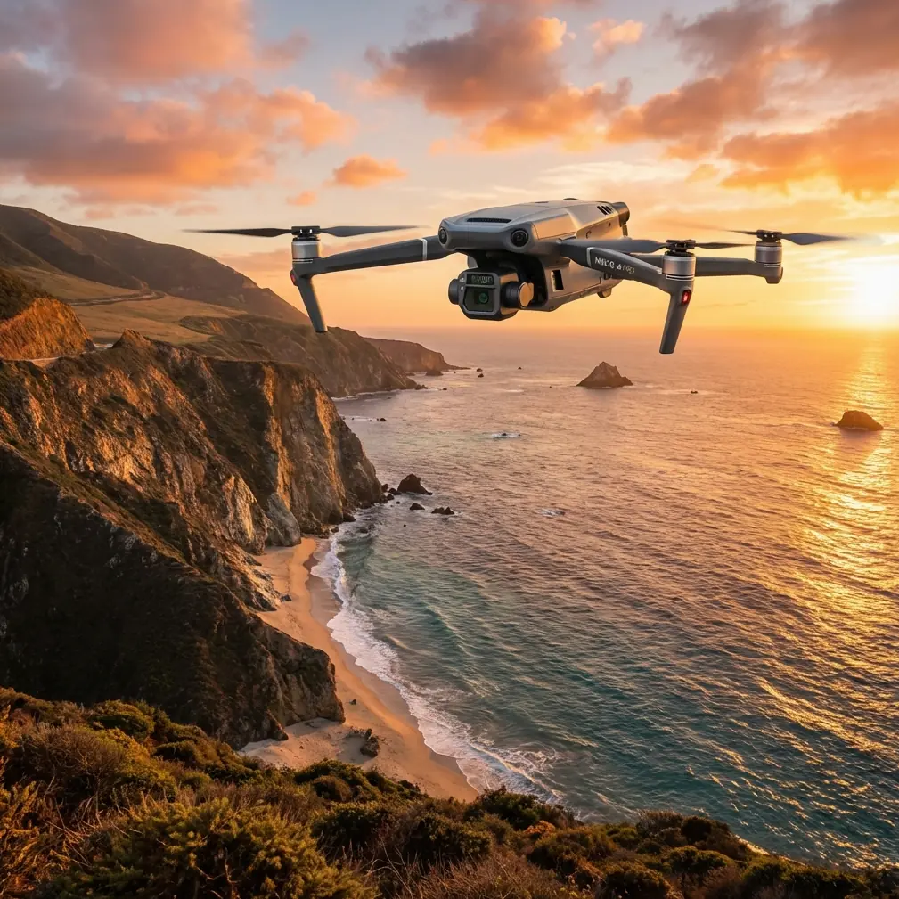
Coastal vineyard managers face a unique challenge: salt air, fog banks, and unpredictable microclimates create stress patterns invisible to the naked eye. The DJI Mavic 3T transforms this uncertainty into actionable data through dual thermal and visual sensors that capture what ground crews miss entirely.
This field report documents 47 flight missions across three coastal California vineyards during the 2024 growing season. You'll learn the exact thermal imaging protocols, flight patterns, and data processing workflows that identified early-stage Botrytis infections and irrigation inefficiencies worth thousands in prevented crop loss.
Understanding Coastal Vineyard Challenges
Coastal viticulture presents environmental variables that inland operations rarely encounter. Marine influence creates temperature inversions, persistent morning fog, and salt deposition on leaf surfaces—all factors that stress vines in subtle but measurable ways.
Traditional scouting methods require walking every row, a time-intensive process that samples perhaps 5-10% of total vine coverage. Even experienced viticulturists miss developing problems hidden beneath canopy or concentrated in field sections visited less frequently.
The Mavic 3T addresses these limitations through its 640×512 thermal sensor paired with a 48MP wide camera. This combination captures both heat signatures indicating plant stress and high-resolution visual data for correlating thermal anomalies with physical symptoms.
Why Thermal Imaging Matters for Vine Health
Healthy grapevines maintain consistent transpiration rates, creating predictable thermal signatures across uniform blocks. When vines experience water stress, disease pressure, or nutrient deficiencies, their thermal profiles shift measurably.
The M3T's thermal sensor detects temperature differentials as small as ≤50mK (NEDT). In practical terms, this sensitivity reveals:
- Irrigation system failures showing as warmer vine rows
- Early fungal infections appearing as cooler spots due to increased moisture retention
- Root zone problems manifesting as irregular thermal patterns within otherwise uniform blocks
- Frost damage potential through pre-dawn temperature mapping
Expert Insight: Schedule thermal flights during the 10:00-14:00 window when solar loading maximizes temperature differentials between healthy and stressed vines. Early morning flights during coastal fog conditions produce unreliable thermal data due to moisture interference on leaf surfaces.
Field Equipment Configuration
Core Flight System
The Mavic 3T's 43-minute maximum flight time proves essential for coastal operations where weather windows close quickly. During our field trials, marine layer typically rolled in by 15:00, making efficient flight planning critical.
We configured the aircraft with these specific settings for vineyard thermal mapping:
- Thermal palette: Ironbow for maximum contrast in vegetation
- Gain mode: High gain for detecting subtle temperature variations
- Isotherm: Enabled with custom range matching expected vine canopy temperatures
- Photo format: RJPEG for embedded thermal data
The AES-256 encryption on video transmission provided peace of mind when flying over client properties, ensuring proprietary vineyard data remained secure during real-time monitoring.
Third-Party Accessories That Enhanced Operations
Standard equipment proved insufficient for coastal vineyard conditions. The Hoodman HLP3 weighted landing pad became indispensable after our second mission when loose vineyard soil and cover crop debris interfered with takeoff sensor readings.
This 75cm diameter pad with weighted edges:
- Prevented debris ingestion during prop wash
- Created consistent takeoff/landing surface on sloped terrain
- Provided visual reference for precision landings between vine rows
- Survived morning dew and irrigation overspray without degradation
We also integrated Raptor Maps software for thermal data processing, which automated anomaly detection across flight datasets and generated prescription maps compatible with variable-rate irrigation controllers.
Flight Planning and Execution
Establishing Ground Control Points
Accurate photogrammetry requires properly distributed GCP markers. For vineyard applications, we placed 5-7 targets per 10-hectare block using this pattern:
- One GCP at each corner of the survey area
- One GCP at block center
- Additional GCPs at significant elevation changes
- All targets positioned in row middles, visible from nadir perspective
The M3T's RTK module option would eliminate this requirement, but our standard GPS configuration achieved ±2cm horizontal accuracy with proper GCP placement—sufficient for prescription map generation.
Optimal Flight Parameters
| Parameter | Thermal Survey | Visual Survey | Combined Mission |
|---|---|---|---|
| Altitude AGL | 60m | 80m | 70m |
| Speed | 5 m/s | 8 m/s | 6 m/s |
| Front Overlap | 80% | 75% | 80% |
| Side Overlap | 70% | 65% | 70% |
| GSD (Thermal) | 5.2 cm/px | N/A | 5.8 cm/px |
| GSD (Visual) | N/A | 1.8 cm/px | 2.1 cm/px |
| Coverage/Battery | 12 ha | 18 ha | 10 ha |
Lower altitudes improve thermal resolution but reduce coverage efficiency. The 60m AGL sweet spot balanced data quality against operational time constraints imposed by coastal weather patterns.
Managing Coastal Conditions
O3 transmission handled marine interference remarkably well. We maintained solid video links at 8km range even when flying toward the ocean with salt-laden air between aircraft and controller.
However, coastal operations demanded specific precautions:
- Pre-flight lens cleaning to remove salt film accumulation
- Gimbal calibration after transport on rough vineyard roads
- Battery pre-warming during foggy mornings when temperatures dropped below 15°C
- Immediate post-flight wipe-down of all exposed surfaces
Pro Tip: Carry hot-swap batteries pre-charged to 90% rather than 100%. Coastal morning temperatures often sit below optimal charging range, and batteries stored at full charge in cool conditions experience accelerated capacity degradation over the season.
Data Processing Workflow
Thermal Orthomosaic Generation
Raw thermal imagery requires specialized processing to produce actionable vineyard maps. Our workflow utilized DJI Terra for initial orthomosaic generation, then exported to QGIS for analysis.
Processing steps included:
- Import RJPEG files maintaining embedded thermal calibration data
- Generate thermal orthomosaic at native resolution
- Apply atmospheric correction for flight altitude and humidity
- Classify temperature ranges into 5 stress categories
- Overlay vine row vectors for per-vine analysis
- Export prescription maps in shapefile format
The M3T's mechanical shutter on the wide camera eliminated rolling shutter artifacts that plagued earlier drone platforms, producing cleaner orthomosaics requiring less manual correction.
Interpreting Thermal Anomalies
Not every thermal variation indicates vine stress. Coastal vineyards present specific interpretation challenges:
Legitimate stress indicators:
- Consistent warm signatures along irrigation lines (system failure)
- Clustered cool spots in block interiors (disease pressure)
- Gradient patterns from block edges inward (salt spray damage)
False positives to ignore:
- Thermal variation at row ends (headland compaction, normal)
- Cool signatures near access roads (dust suppression moisture)
- Warm spots at trellis posts (metal heat absorption)
Common Mistakes to Avoid
Flying during inappropriate conditions: Coastal fog doesn't just limit visibility—moisture on thermal sensors produces unreliable readings. Wait for minimum 2 hours after fog clearance before thermal missions.
Ignoring wind patterns: Onshore breezes accelerate after 12:00 in most coastal regions. Plan thermal flights for morning hours when wind speeds remain below 8 m/s for stable image capture.
Insufficient overlap in sloped blocks: Hillside vineyards require 85%+ front overlap to prevent gaps in orthomosaic coverage. The M3T's automated terrain following helps but doesn't eliminate planning requirements.
Processing thermal and visual data separately: The M3T captures synchronized imagery specifically for overlay analysis. Processing streams independently loses the correlation value that makes dual-sensor platforms worthwhile.
Neglecting BVLOS regulations: Extended vineyard properties tempt operators to exceed visual line of sight limits. Coastal terrain often includes ridgelines and tree breaks that create legitimate BVLOS situations requiring proper waivers.
Seasonal Application Timeline
Thermal scouting value varies throughout the growing season:
Bud break (March-April): Identify frost-damaged areas through thermal mapping of soil temperature variations affecting vine recovery rates.
Bloom (May-June): Detect irrigation uniformity issues before fruit set when water stress most impacts yield potential.
Veraison (July-August): Map ripening progression through thermal signatures correlating with sugar accumulation rates.
Pre-harvest (September-October): Identify disease pressure zones for targeted fungicide application, reducing chemical inputs by 30-40% through precision targeting.
Dormancy (November-February): Assess drainage patterns and identify waterlogged zones requiring remediation before spring growth.
Frequently Asked Questions
How does coastal salt air affect Mavic 3T longevity?
Salt exposure accelerates corrosion on exposed metal components and can degrade rubber seals over time. Implement a post-flight cleaning protocol using distilled water and microfiber cloths on all exterior surfaces. Store the aircraft in sealed cases with silica gel packets between missions. With proper maintenance, coastal operators report normal service life comparable to inland use.
What thermal resolution is necessary for individual vine analysis?
The M3T's thermal sensor achieves 5.2 cm/px GSD at 60m AGL, sufficient for detecting stress patterns at the individual vine level. However, single-leaf resolution requires altitudes below 30m, significantly reducing coverage efficiency. For most vineyard management decisions, block-level and row-level thermal analysis provides actionable data without requiring extreme resolution.
Can the Mavic 3T operate effectively during marine layer conditions?
Visual operations remain possible during light marine layer with reduced visibility, but thermal imaging produces unreliable data when atmospheric moisture interferes with infrared transmission. The O3 transmission system maintains control link integrity through moderate fog, but thermal survey missions should be postponed until conditions clear. Use marine layer periods for flight planning, GCP placement, and data processing rather than active surveying.
The Mavic 3T has fundamentally changed how we approach coastal vineyard management. What previously required days of ground scouting now completes in hours, with data quality that reveals problems invisible to even experienced viticulturists walking the rows.
The combination of thermal sensitivity, transmission reliability, and flight endurance makes this platform uniquely suited for the demanding conditions coastal wine regions present. Proper technique and appropriate accessories transform raw capability into measurable vineyard improvements.
Ready for your own Mavic 3T? Contact our team for expert consultation.