Mavic 3T Scouting Tips for Wildlife in Windy Conditions
Mavic 3T Scouting Tips for Wildlife in Windy Conditions
META: Practical Mavic 3T wildlife scouting advice for windy operations, covering thermal detection, flight technique, battery management, transmission stability, and field workflow.
Wind changes everything in wildlife scouting. It changes how animals move, how heat blooms across the landscape, how stable your hover feels, and how quickly your battery percentage stops being theoretical and starts becoming a decision.
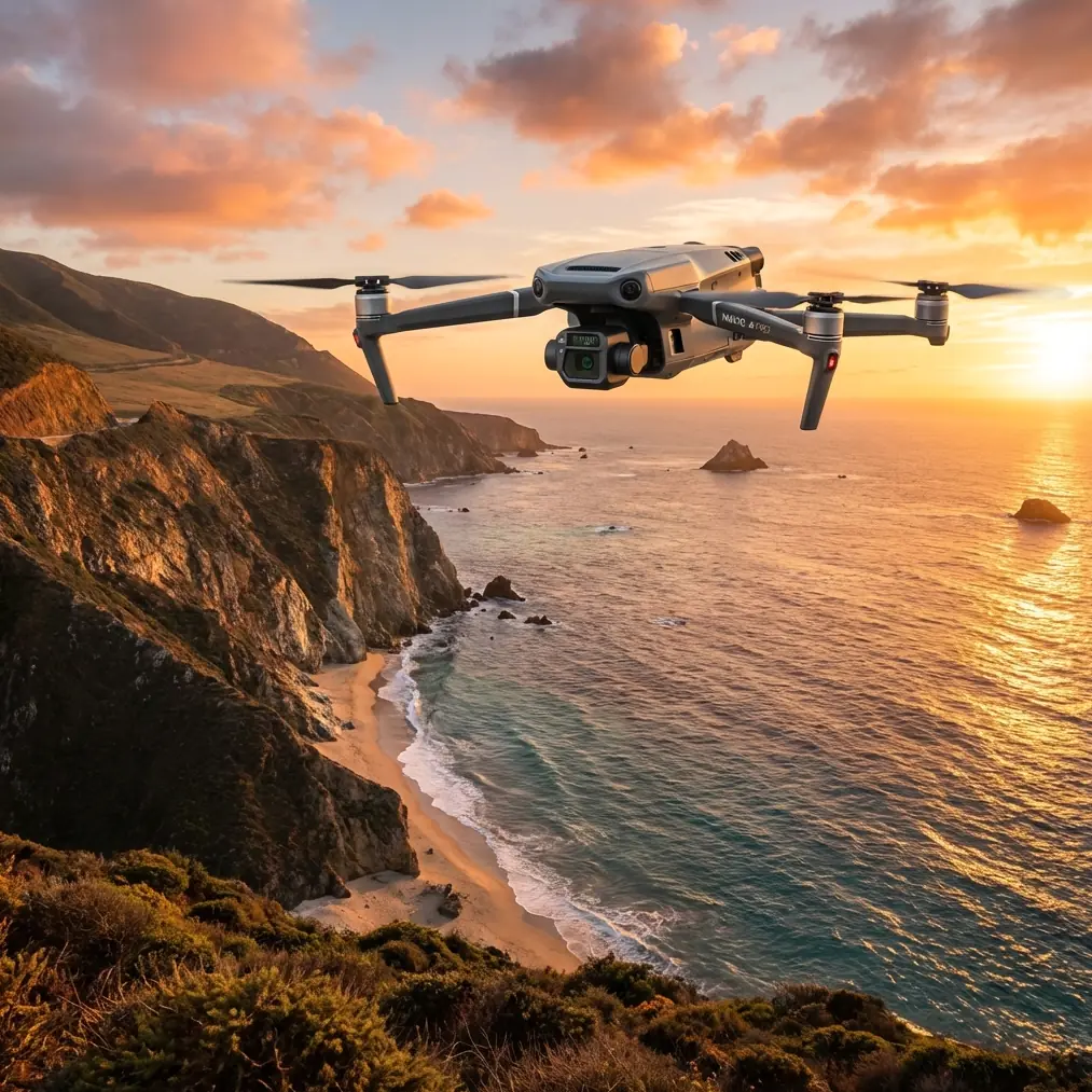
The DJI Mavic 3T is often discussed as a thermal drone, but that shorthand misses the point. In real fieldwork, especially when you are tracking wildlife across uneven terrain in shifting air, the value of the aircraft comes from how its systems work together: thermal signature detection, visual confirmation, transmission reliability, disciplined flight handling, and battery planning that respects the environment rather than the marketing sheet.
I’ve seen experienced crews do nearly everything right and still lose the quality of a mission because they treated wind as a nuisance instead of a planning variable. If your use case is wildlife scouting with the Mavic 3T, particularly in gusty conditions, the most productive approach is not to fly harder. It is to fly cleaner.
Start With the Mission, Not the Aircraft
Wildlife scouting usually has one of three goals:
- Locate animals across broad ground quickly
- Confirm species or behavior without disturbance
- Revisit the same area repeatedly for counts, health observation, or habitat analysis
Wind affects all three. A drifting aircraft is more than a pilot annoyance. It changes camera angle consistency, reduces thermal reading stability, and can create small errors in repeatable observation paths. If you are comparing heat signatures along a tree line or scanning for movement near water, those errors matter.
This is where the Mavic 3T earns its keep. The thermal payload helps you find animals hidden by vegetation contrast or low-light conditions, while the visual system lets you verify what the thermal image is actually showing. In practice, that means you should think in layers: detect with heat, verify with optics, document with consistency.
Why Wind Makes Thermal Work Harder
Many operators assume thermal imaging gets easier as soon as the light drops. Sometimes it does. But in windy wildlife environments, thermal interpretation becomes more dynamic.
Moving air can cool exposed surfaces unevenly. It can also disperse surface heat patterns that might otherwise create a clean separation between an animal and the background. A deer standing in sparse brush on a calm morning may show a clear thermal signature. The same animal in wind can blend more with disturbed foliage and shifting ground temperature.
That means your scan pattern needs to slow down in the places that matter most.
With the Mavic 3T, thermal should not be treated as a fast sweep tool only. Use it first to identify possible signatures, then circle back with a tighter pass. Short verification loops are often more useful than one long linear run, especially in wind where the aircraft is already making constant micro-corrections.
A Flight Handling Lesson Borrowed From Manned Aviation
One useful insight from traditional flight training is surprisingly relevant here: smooth control inputs are safer and more effective than abrupt ones when airflow is already trying to destabilize the aircraft.
A reference from flight simulation training explains that during takeoff roll in propeller aircraft, directional deviation can build from unequal forces on the wheels, and that pilots reduce the effect through gentle, appropriate control inputs rather than harsh corrections. The exact mechanics are different on a quadcopter, but the operational lesson holds. In wind, aggressive stick inputs usually create a second problem on top of the first one.
For Mavic 3T wildlife scouting, this matters in two ways:
- Sudden pitch or yaw adjustments can briefly spoil your thermal framing just when you are evaluating a target.
- Overcorrection increases battery draw, which shortens useful on-station time.
When you are scanning in gusts, think like a careful survey pilot. Use soft directional changes. Let the aircraft settle before making a classification decision. If you see a heat source near brush, don’t stab at it with the controls. Ease into position, hold, observe, then confirm.
Use the Wind Instead of Fighting It
A simple field rule: fly outbound into the wind when practical, and return with it.
That gives you better control authority during the most decision-heavy phase of the mission, when you are still locating targets and judging whether battery reserves match your search area. If you fly downwind first, the outbound leg may feel easy while quietly extending your footprint farther than the return power budget really supports.
This is not abstract advice. On windy days, the gap between “battery remaining” and “battery usable” can become large.
The Mavic 3T’s hot-swap battery workflow is valuable here because it supports short, deliberate sorties rather than one overconfident push. For wildlife scouting, that often leads to better data anyway. A 12 to 18 minute focused search with a fresh pack and a clear target zone can outperform a longer, less disciplined flight where fatigue and battery anxiety creep in together.
My Field Battery Tip: Pair Batteries With Wind Windows
Here’s the battery management habit I recommend from experience: stop treating batteries as identical and start assigning them to weather windows.
On a windy day, I mark packs by intended role before launch:
- First pack for broad thermal acquisition
- Second pack for verification and documentation
- Third pack held in reserve for relocation, missed targets, or unexpected animal movement
That sounds basic until you actually do it. The change is psychological as much as operational. You stop trying to make one battery carry the whole mission. You also protect the most valuable battery state for the phase that needs stable decision-making.
Another detail that helps: avoid launching a new pack and immediately pushing to the far edge of the area. Let the battery work through a brief local hold and close scan first. In gusty conditions, this gives you a quick sanity check on wind behavior, aircraft response, and how hard the motors are working before you commit distance.
If your team wants to compare field setups or battery rotation practices for wildlife work, I’ve found it easiest to discuss real mission profiles directly over WhatsApp with our drone specialists.
Thermal Signature Is Only Half the Answer
The phrase “thermal signature” gets used loosely. In wildlife scouting, what you are really evaluating is a combination of heat shape, movement pattern, habitat context, and confidence level.
A hot object is not automatically an animal. Sun-warmed rocks, equipment left in the field, livestock infrastructure, and even thermal reflections can waste time if you rely on the heat image alone.
The Mavic 3T helps by letting you transition from detection to confirmation quickly. In wind, that transition needs structure:
1. Detect
Use the thermal camera to flag anomalies at a moderate altitude.
2. Stabilize
Pause long enough to assess whether the target holds shape or changes with vegetation movement.
3. Verify
Switch to visual imaging for context. Is the target in a game trail, grass edge, water margin, or open field? Context often tells you more than the heat blob.
4. Recheck
Return briefly to thermal. If the signature remains coherent across both views, confidence rises sharply.
This workflow cuts down on wasted descents and reduces unnecessary disturbance to animals.
Transmission Reliability Matters More Than People Admit
Windy scouting often means working over ridges, tree belts, wetlands, or broken topography. These landscapes can challenge signal quality even before you add distance. The Mavic 3T’s O3 transmission system is not just a convenience feature in that setting. It is part of your observation chain.
A clean downlink helps you decide whether a faint thermal target deserves a second pass. It also reduces the temptation to descend too low simply because the image feed feels uncertain.
For professional users working with sensitive location data, secure handling matters too. AES-256 is relevant not because it sounds technical, but because wildlife work can involve protected species, breeding sites, and environmentally sensitive coordinates. If you are documenting vulnerable populations or surveying private conservation land, secure data pathways are part of good field practice.
Repeatability: What Wildlife Teams Can Learn From Engineering Standards
One of the reference documents behind this piece deals with aircraft installation standards for fluid conduits and Q-shaped clamps under ISO 8479, including dimensional control and notes that certain diameters like DN 14, 18, 22, 28, 36, 45, 56, and 70 are not preferred sizes. At first glance, that seems far removed from a Mavic 3T in a wildlife mission.
It isn’t.
The deeper lesson is standardization. Aerospace systems work because support, routing, and fit are controlled rather than improvised. Even a table listing values such as 36.5 mm and 37.3 mm reflects something bigger: repeatable installation reduces uncertainty.
That same mindset improves Mavic 3T scouting. Standardize your launch routine. Standardize your scan altitude bands. Standardize your battery swap threshold. Standardize how you log thermal contacts and visual confirmations. Field teams that do this consistently produce better wildlife data than teams with good equipment but loose habits.
In other words, operational discipline matters more than gadget enthusiasm.
Building a Wind-Ready Wildlife Workflow
Here is a practical tutorial framework for the Mavic 3T in windy scouting conditions.
Pre-flight
Check gust spread, not just average wind speed. A steady breeze and erratic gusts are different missions. Define a primary search zone and a reduced fallback zone. Load your map, verify home point, and confirm battery role assignment.
First sortie
Fly into the wind if terrain allows. Begin with broad thermal passes over edges where animals tend to hold: tree lines, water boundaries, breaks in tall grass, sheltered hollows.
Mid-mission interpretation
When you identify a possible target, resist the urge to rush lower immediately. Hover, observe movement, then confirm with the visual camera. Wind often makes foliage flicker in thermal; hovering an extra few seconds can save a pointless approach.
Follow-up pass
Use the second battery for higher-confidence verification. This is the time for cleaner imagery, count confirmation, habitat notes, and if needed, repeatable documentation for later analysis.
Reserve logic
Keep one battery for contingency. Wildlife rarely behaves on schedule. If a group shifts into a less exposed area or a thermal contact appears at the end of the mission, a protected reserve pack can save the day.
Where Photogrammetry and GCPs Fit In
For pure wildlife spotting, thermal and visual observation usually lead. But if your program also includes habitat documentation, erosion tracking, or corridor mapping, photogrammetry may enter the workflow. In that case, windy conditions become even less forgiving, because image overlap and consistency matter more.
Ground control points, or GCPs, can help tighten spatial accuracy in habitat mapping projects. The Mavic 3T is not only a detection platform; it can be part of a broader conservation data pipeline. Just be realistic: if the wind is causing yaw drift or inconsistent groundspeed, a mapping run may need to be postponed even if basic scouting remains possible.
That distinction is useful. Not every flight objective has the same tolerance for atmospheric messiness.
BVLOS Caution in Conservation Operations
Some wildlife teams are exploring BVLOS-style operational models for wider area coverage. Whether that is viable depends entirely on local regulation, airspace, risk assessment, and organizational maturity. The Mavic 3T has features that support serious professional workflows, but long-range ambition should never outrun operational control.
In windy conditions, conservative line-of-sight discipline is often the smarter choice anyway. Wildlife detection quality tends to drop before operator confidence does. That mismatch is where bad decisions begin.
The Real Skill Is Restraint
The best Mavic 3T wildlife operators I know are not the ones flying the most aggressively. They are the ones who know when to pause, when to hold altitude, when to break off a weak target, and when to land with battery still available because the data objective has already been met.
That may sound unglamorous. It is also how reliable fieldwork gets done.
Wind rewards method. The Mavic 3T gives you a strong toolkit: thermal detection, visual verification, robust transmission, secure data handling, and flexible battery rotation. But the aircraft does not remove the need for judgment. It sharpens the value of it.
If you are scouting wildlife in windy conditions, build your operation around smooth inputs, repeatable routines, disciplined battery use, and a layered thermal-to-visual workflow. Do that, and the Mavic 3T becomes more than a thermal drone. It becomes a dependable field instrument.
Ready for your own Mavic 3T? Contact our team for expert consultation.