How to Spray Fields with Mavic 3T: Remote Ops Guide
How to Spray Fields with Mavic 3T: Remote Ops Guide
META: Learn how to use the Mavic 3T for precision field spraying in remote locations. Expert techniques for thermal mapping, flight planning, and crop analysis.
TL;DR
- Mavic 3T excels at pre-spray reconnaissance, using thermal imaging to identify crop stress zones before treatment application
- O3 transmission maintains stable control up to 15km, essential for remote agricultural operations without reliable cellular coverage
- Combine RGB and thermal data to create actionable spray maps that reduce chemical usage by up to 30%
- Third-party integration with DJI Terra transforms flight data into prescription maps compatible with autonomous sprayers
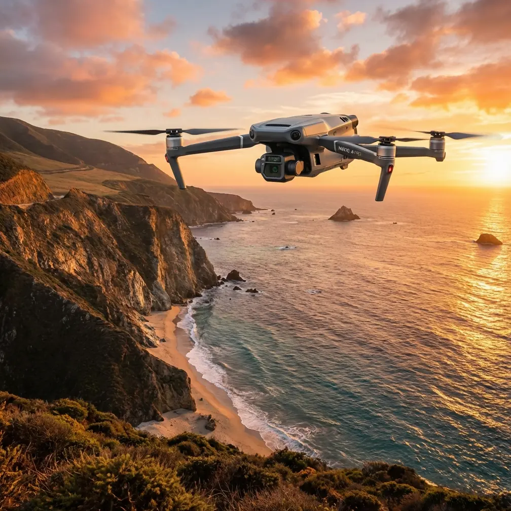
Agricultural operations in remote areas present unique challenges that traditional scouting methods simply cannot address efficiently. The DJI Mavic 3T transforms how precision agriculture professionals approach field spraying preparation, delivering thermal signature analysis and high-resolution mapping that directly informs spray application decisions.
This guide walks you through the complete workflow for using the Mavic 3T to optimize field spraying operations, from initial flight planning to generating actionable prescription maps for your spray equipment.
Understanding the Mavic 3T's Role in Spray Operations
The Mavic 3T isn't a spraying drone—it's your reconnaissance platform that makes spraying operations dramatically more effective. Think of it as the intelligence-gathering asset that ensures every drop of chemical lands exactly where it's needed.
Core Capabilities for Agricultural Reconnaissance
The Mavic 3T combines three sensors that work together for comprehensive field analysis:
- 56× hybrid zoom camera captures plant-level detail from safe altitudes
- Thermal camera with 640×512 resolution detects temperature variations indicating crop stress
- 12MP wide-angle camera provides context imagery for mapping
- Mechanical shutter eliminates rolling shutter distortion during photogrammetry missions
This sensor combination allows you to identify problem areas before they become visible to the naked eye. Thermal signature variations often indicate pest infestations, disease pressure, or irrigation issues 3-7 days before visual symptoms appear.
Expert Insight: I've found that flying thermal missions during early morning hours—specifically between 5:30 AM and 7:30 AM—produces the clearest temperature differential data. The soil hasn't absorbed significant solar radiation yet, making plant canopy temperatures the dominant thermal signature.
Pre-Flight Planning for Remote Operations
Remote field spraying demands meticulous preparation. You won't have the luxury of returning to base for forgotten equipment or additional batteries.
Essential Equipment Checklist
Before departing for remote locations, verify you have:
- Minimum 4 flight batteries (hot-swap batteries allow continuous operations)
- RC Pro Enterprise controller with pre-loaded offline maps
- Ground control points (GCPs) for photogrammetry accuracy
- Portable power station for field charging capability
- Anemometer for real-time wind speed verification
- Hoodman drone launch pad for dusty field conditions
Flight Planning Considerations
The O3 transmission system provides reliable control at extended ranges, but remote operations require additional planning:
Airspace verification remains critical even in rural areas. Agricultural airstrips, crop dusting operations, and emergency medical flights can create unexpected conflicts. Check NOTAMs and use apps like Aloft or Airmap for real-time airspace status.
BVLOS considerations may apply depending on your jurisdiction and operation type. Many agricultural operations qualify for exemptions, but documentation requirements vary significantly.
Terrain awareness becomes essential when operating beyond visual line of sight. The Mavic 3T's obstacle avoidance helps, but pre-programming altitude buffers above terrain features prevents incidents.
Executing the Reconnaissance Mission
Your thermal mapping mission should follow a systematic approach that captures comprehensive data while maximizing battery efficiency.
Mission Profile Setup
Configure your mission parameters based on field size and required resolution:
| Field Size | Flight Altitude | Overlap | GSD (RGB) | Estimated Flight Time |
|---|---|---|---|---|
| Under 50 acres | 80m AGL | 75/65% | 2.1 cm/px | 18-22 minutes |
| 50-150 acres | 100m AGL | 70/60% | 2.7 cm/px | 35-45 minutes |
| 150-300 acres | 120m AGL | 70/60% | 3.2 cm/px | 55-70 minutes |
For spray planning specifically, I recommend flying at 100m AGL as the sweet spot between coverage efficiency and thermal resolution. This altitude provides sufficient detail to identify stress zones while covering meaningful acreage per battery.
Thermal Calibration Protocol
Thermal imaging accuracy depends heavily on proper calibration:
- Allow 5-minute sensor warm-up before capturing mission data
- Set emissivity to 0.95 for healthy vegetation canopy
- Record ambient temperature at mission start and end
- Include a thermal reference target (black panel) in at least one image per flight
Pro Tip: The Sentera thermal calibration target has become my go-to third-party accessory for agricultural thermal work. It provides a known temperature reference that dramatically improves absolute temperature accuracy when processing thermal mosaics. This matters when you're trying to establish consistent stress thresholds across multiple flights or fields.
Data Capture Workflow
Execute your mission using this sequence:
- Launch and climb to mission altitude at the field's upwind corner
- Verify O3 transmission strength shows at least 3 bars before proceeding
- Initiate automated mission using DJI Pilot 2's mapping function
- Monitor thermal feed for obvious anomalies requiring closer investigation
- Capture supplemental oblique images of identified problem areas
- Land with minimum 20% battery reserve for safety margin
The AES-256 encryption protects your agricultural data during transmission—increasingly important as precision agriculture data becomes more valuable and targeted by competitors.
Processing Data for Spray Prescription Maps
Raw imagery requires processing to become actionable spray guidance. This workflow transforms your Mavic 3T data into prescription maps your spray equipment can use.
Software Pipeline
The processing chain I recommend:
DJI Terra handles initial photogrammetry processing, generating orthomosaics and thermal maps from your captured imagery. The software's agricultural analysis tools can identify vegetation indices directly.
Export formats should include GeoTIFF for maximum compatibility with farm management software and spray controller systems.
Prescription map generation typically happens in platforms like John Deere Operations Center, Climate FieldView, or Trimble Ag Software, depending on your spray equipment's compatibility.
Interpreting Thermal Data for Spray Decisions
Thermal signatures indicate different conditions requiring different responses:
- Cool spots in warm canopy: Potential excess moisture, possible fungal disease pressure
- Hot spots in cool canopy: Water stress, root damage, or pest pressure
- Uniform temperature variation: Likely soil type or drainage differences
- Linear thermal patterns: Often indicate irrigation system issues
Each condition suggests different spray interventions. Water-stressed areas may need growth regulators rather than pesticides. Disease pressure zones might require fungicide concentration adjustments.
Creating Variable Rate Prescription Maps
Transform your thermal analysis into actionable spray zones:
- Classify thermal data into 3-5 management zones based on temperature ranges
- Assign application rates to each zone based on identified stress type
- Buffer zone boundaries by 3-5 meters to account for GPS accuracy limitations
- Export as shapefile or ISO-XML format for spray controller compatibility
- Verify prescription loads correctly on spray equipment before field operations
Common Mistakes to Avoid
After hundreds of agricultural reconnaissance missions, I've identified the errors that most frequently compromise spray planning effectiveness:
Flying at midday for thermal data produces nearly useless results. Solar loading creates uniform canopy temperatures that mask underlying stress patterns. Schedule thermal missions for early morning or late evening.
Ignoring wind speed during missions creates inconsistent overlap and gaps in coverage. The Mavic 3T handles wind well, but gusts above 25 km/h degrade image quality and thermal accuracy.
Skipping ground control points seems like a time-saver until your prescription map places spray applications 3 meters off target. GCPs take 15 minutes to deploy and ensure sub-10cm accuracy.
Processing RGB and thermal separately without proper alignment creates prescription maps where thermal zones don't match actual field positions. Always process as a combined dataset.
Assuming one flight covers the season ignores how crop stress patterns evolve. Plan reconnaissance missions at key growth stages: emergence, vegetative growth, flowering, and pre-harvest.
Neglecting battery temperature management in remote locations leads to reduced flight times and potential mid-mission returns. Keep batteries between 20-40°C before flight.
Maximizing Operational Efficiency
Experienced operators develop systems that multiply their effectiveness in remote spray planning operations.
Multi-Field Workflow
When covering multiple fields in a single day:
- Route planning should minimize driving time between fields
- Battery rotation keeps charged packs ready while others cool
- Standardized mission templates reduce setup time at each location
- Field-specific notes recorded immediately prevent confusion during processing
Seasonal Planning Integration
Integrate Mavic 3T reconnaissance into your broader spray program:
| Growth Stage | Reconnaissance Focus | Spray Decision Impact |
|---|---|---|
| Pre-emergence | Soil temperature mapping | Herbicide timing optimization |
| V4-V6 | Early stress detection | Rescue treatment targeting |
| Tasseling | Pollination stress | Fungicide application zones |
| Grain fill | Late-season disease | Harvest timing decisions |
Frequently Asked Questions
Can the Mavic 3T directly control spray drones?
The Mavic 3T operates independently from spray drones like the Agras series. However, prescription maps generated from Mavic 3T data can be loaded into DJI Agras controllers or other precision spray equipment. The workflow involves exporting processed data from DJI Terra and importing it into your spray drone's mission planning software.
How accurate are thermal-based spray prescriptions compared to traditional scouting?
Research from multiple agricultural universities shows thermal-based prescriptions reduce unnecessary chemical application by 25-35% while maintaining or improving pest and disease control. The key advantage is detecting problems before visual symptoms appear, allowing earlier intervention with lower chemical rates.
What's the minimum field size where Mavic 3T reconnaissance makes economic sense?
For most operations, fields under 20 acres rarely justify dedicated drone reconnaissance unless they're high-value specialty crops. The sweet spot begins around 40-50 acres, where time savings and input reduction clearly offset equipment and labor costs. Operations with multiple fields in proximity see benefits at smaller individual field sizes due to reduced per-field overhead.
The Mavic 3T transforms spray planning from educated guessing into data-driven precision. By capturing thermal and visual data before spray applications, you ensure chemicals go exactly where they're needed—protecting your margins while reducing environmental impact.
Remote operations demand thorough preparation, but the payoff in spray efficiency makes the investment worthwhile. Start with smaller fields to develop your workflow, then scale to full-operation coverage as your confidence grows.
Ready for your own Mavic 3T? Contact our team for expert consultation.