Mavic 3T for Forest Spraying in Extreme Temperatures
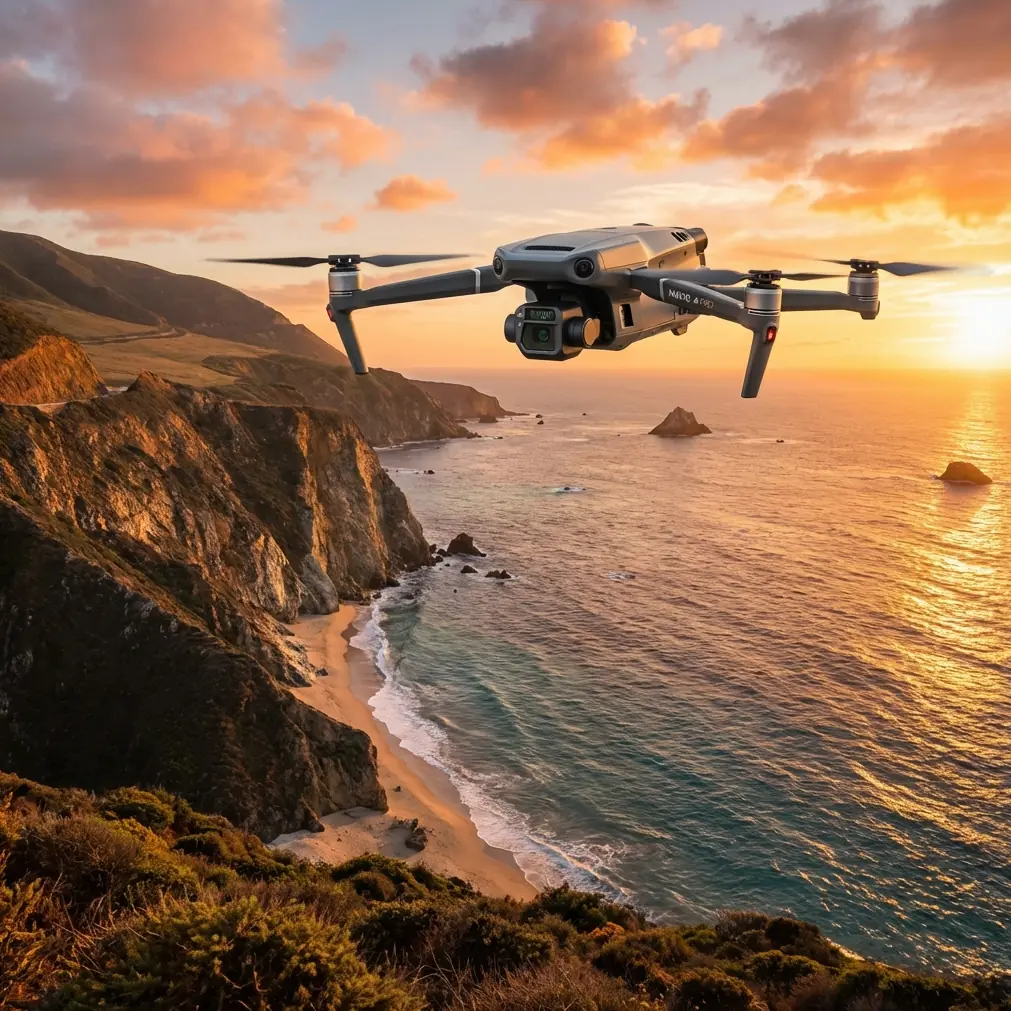
Mavic 3T for Forest Spraying in Extreme Temperatures: What Actually Matters in the Field
META: Expert analysis of using the DJI Mavic 3T around forest spraying operations in extreme temperatures, with practical advice on thermal signature reading, antenna positioning, O3 transmission, AES-256 security, and mission workflow.
Forest spraying pushes every weak point in a UAV workflow to the surface. Temperature swings distort battery behavior. Dense canopy breaks line of sight. Moisture, glare, dust, and terrain changes make situational awareness harder than it looks on a planning screen. If you are working around forestry treatment programs and asking whether the Mavic 3T belongs in that environment, the right answer is not “yes” or “no.” It depends on what role you expect it to play.
The Mavic 3T is not a heavy-lift spray platform. That misses the point. In forestry operations, especially in extreme heat or cold, its value is in intelligence, verification, and decision support before, during, and after spraying missions. Used correctly, it becomes the aircraft that helps the spray team avoid blind spots, confirm treatment coverage patterns, document conditions, and spot thermal anomalies that indicate stress, equipment issues, or environmental drift. Used incorrectly, it becomes an expensive flying camera that struggles with range, misses targets under canopy, and gives operators a false sense of confidence.
That gap between useful and wasteful comes down to workflow.
The real problem: forests make “simple” UAV jobs messy
Open-field agriculture is forgiving by comparison. In a forest block, your operating environment changes every few meters. Tree height shifts. Clearings create sudden brightness changes. Valleys and ridges interrupt signal paths. If temperatures are extreme, the planning assumptions you made in the office can break down by mid-mission.
In hot conditions, you are often fighting haze, thermal shimmer, and elevated battery stress. In cold conditions, flight endurance can drop at the exact moment you need extra margin to reposition around terrain or return from a stand of trees that is already degrading your link. Either way, the airframe is only one part of the challenge. What matters more is whether your data remains usable and whether your control link stays stable enough to make the aircraft dependable near complex vegetation.
This is why the Mavic 3T’s mixed sensor package matters more in forestry than the spec sheet alone suggests. You are not looking at one camera solving one problem. You are combining visual inspection with thermal signature analysis to understand what the spray team is about to enter, what happened during the operation, and what needs a second pass.
Why thermal matters when the weather is working against you
The thermal camera is the reason many professionals bring the Mavic 3T into difficult environmental work. In extreme temperatures, visual cues can lie to you. Leaves can look similar across stressed and healthy areas. Wetness, dust, and changing light can hide practical issues such as blocked access routes, hotspots in support equipment, or uneven treatment conditions. Thermal imaging gives a different layer of truth.
That matters in forest spraying support for at least three operational reasons.
First, thermal helps identify temperature contrast across the treatment zone. Early morning cold pockets, sun-exposed edges, and moisture-retaining depressions can all behave differently. Those differences can affect how a treatment plan is sequenced and how ground crews or spray teams move through the area.
Second, thermal can help verify whether adjacent assets are operating normally. A pump, generator, mixing station, or transport vehicle showing an unusual heat pattern may deserve attention before it disrupts the day. That kind of check is quick, low-friction, and far safer than discovering an issue after a stoppage.
Third, in high-heat scenarios, thermal signature review can help distinguish where the environment itself is likely to complicate interpretation of visual data. A sun-baked canopy edge and a shaded interior do not read the same. The thermal view gives context to what your RGB footage is really showing.
The mistake is assuming thermal sees through dense canopy. It does not. It sees temperature variation, not magic. If your target is beneath thick cover, you need to think in terms of angles, edge views, stand gaps, and repeated passes, not one overhead look.
The Mavic 3T’s role in a spraying workflow
If the mission is forest spraying, the Mavic 3T works best as the aircraft that builds confidence around the actual spray platform and the broader operation.
A practical sequence often looks like this:
- pre-mission reconnaissance to assess access, terrain, obstacles, and thermal conditions
- route confirmation around tree lines, ridges, and staging points
- visual and thermal checks on equipment and support vehicles
- post-treatment verification flights for documentation and anomaly review
- repeatable imagery collection for comparison over time
That last point is where many teams leave value on the table. If you fly the same block repeatedly, consistency matters more than cinematic footage. Similar altitude, angle, overlap, and timing make your comparisons credible. Even when the Mavic 3T is not your first choice for full photogrammetry deliverables, it still plays a role in site-level mapping, especially when paired with disciplined mission planning and known control points.
If you intend to produce maps that stand up to scrutiny, bring GCP discipline into the workflow. Ground control points are not glamorous, but they are the difference between “looks right” and “is defensible.” In forest environments, where canopy and terrain already introduce uncertainty, GCP-backed data reduces the temptation to over-trust approximate positioning.
Photogrammetry in forests: useful, but only if you respect the limits
People often treat photogrammetry as a universal answer. Forest blocks punish that mindset. Under canopy, image reconstruction becomes inconsistent. Homogeneous treetops and moving foliage also complicate matching. The better way to think about the Mavic 3T in this context is as a platform for targeted photogrammetric tasks rather than a one-size-fits-all mapper.
For example, it can document clearings, access corridors, perimeter conditions, staging areas, water sources, and treatment boundaries. It can also capture enough repeatable imagery to support change detection over time, especially where the canopy opens. In those cases, overlap planning and stable flight matter more than speed.
When crews skip GCPs and rely entirely on onboard positioning, they often create a map that is visually convincing but operationally weak. If the data is going to inform where another crew returns next week, or whether a treatment edge drifted toward a sensitive area, positional confidence matters.
So yes, photogrammetry has a place here. Just not as a lazy checkbox.
Signal reliability: O3 transmission only helps if you fly it properly
Forestry work is where transmission myths die. The Mavic 3T’s O3 transmission system is strong, but forests do not care what the brochure says. Trees absorb and scatter signal. Terrain blocks it. Moisture does not help. If your antenna positioning is sloppy, your practical range drops fast.
This is the field habit I tell operators to fix first: stop pointing the tips of the controller antennas at the aircraft. That is not where the strongest radiation pattern sits. For maximum link quality, position the flat faces of the antennas toward the drone. Think broadside, not spear-point. Then keep adjusting as the aircraft moves, especially when it is low relative to your position or skirting behind a tree line.
A few antenna rules make a measurable difference in forests:
1. Gain elevation whenever you can
A few meters of extra operator elevation can matter more than a lot of wishful thinking. Standing on a ridge shoulder, vehicle platform, or safe cleared rise may preserve line of sight that disappears at ground level.
2. Avoid letting the aircraft sink behind vegetation
Even if the map says the drone is close, the signal path may already be compromised if it is flying behind a stand of dense trees. Distance is not the only variable. Obstruction is often the real culprit.
3. Reorient your body, not just the controller
Operators sometimes keep their feet planted and rotate only their wrists. In wooded areas, small body turns can maintain cleaner antenna alignment and reduce the amount of your own body mass interfering with the link.
4. Plan turns where the signal is strongest
Do not wait for a weak-signal warning to think about geometry. Build your route so turns, holds, and critical observation moments happen in sectors with the cleanest line of sight.
That is how you translate O3 from a spec into an operational advantage.
Security matters more than people admit
Forestry and land-management work often involves sensitive site data: treatment boundaries, land access routes, environmental conditions, and infrastructure locations. This is where the Mavic 3T’s AES-256 encryption matters in a very practical way.
For many operators, security is discussed only when procurement asks for a checklist. That is too late. If you are handling imagery tied to commercial forestry assets, environmental programs, or private land operations, encrypted data links are not a luxury. They are part of responsible handling. AES-256 support means the transmission side of the workflow is aligned with higher security expectations, which is especially relevant when missions involve multiple stakeholders or contracted service providers.
Security does not replace discipline, of course. You still need clean media handling, controlled data export practices, and sensible access management. But built-in encrypted transmission raises the floor.
Extreme temperatures expose battery management weaknesses
The phrase “hot-swap batteries” comes up constantly in field planning, but with the Mavic 3T the deeper issue is not just speed of changeover. It is mission continuity and battery temperature awareness under pressure.
In cold weather, batteries need proper conditioning before launch. In high heat, turnaround discipline matters just as much. Do not leave packs baking in a vehicle or direct sunlight while crews are busy with other tasks. Label them. Rotate them intelligently. Watch how performance changes across the day instead of assuming pack one at 8 a.m. behaves like pack one at 2 p.m.
In a forest support role, reserve margins should be more conservative than operators use in open terrain. Why? Because the return leg is where surprises stack up: degraded link, changed wind at canopy edge, extra hover time for verification, or a reposition to restore line of sight. Extreme temperature simply amplifies those factors.
What about BVLOS?
BVLOS gets mentioned often in large forestry projects because the acreage is substantial and the terrain can make line-of-sight flying inefficient. But for the Mavic 3T in civilian commercial work, the relevant question is not whether people want BVLOS. It is whether the operation, approval framework, communications architecture, and safety case truly support it.
For most teams, the smarter immediate path is to optimize legal, well-planned visual line-of-sight operations first. Better launch points, leapfrog staging, robust pre-scouting, and stronger link discipline usually unlock more practical productivity than casually invoking BVLOS as if it solves terrain and canopy physics.
A field-ready operating mindset
The Mavic 3T pays off in forest spraying environments when it is treated as a precision support tool rather than a do-everything aircraft. The teams that get the most from it are usually the ones that ask narrow, concrete questions:
- Where is the thermal contrast highest before treatment starts?
- Which access route gives the spray team cleaner entry?
- Where does signal quality degrade first?
- Which perimeter sections need tighter documentation?
- How repeatable is our imagery from one mission to the next?
Those questions lead to reliable outcomes.
If your team is trying to tune a forestry workflow around extreme temperatures, thermal review, and communication range, it helps to talk through the mission design before hardware becomes the bottleneck. I often suggest operators compare terrain profile, canopy density, and controller handling habits first; if you want to discuss a real-world setup, message here on WhatsApp.
The Mavic 3T is at its best in this environment when the pilot respects three facts. Thermal adds context, not X-ray vision. Mapping requires control, not guesswork. And range depends on geometry, not optimism. Get those right, and the aircraft becomes extremely useful around forestry spraying operations, especially when temperatures are pushing both crews and equipment toward their limits.
Ready for your own Mavic 3T? Contact our team for expert consultation.