Spraying Solar Farms with Mavic 3T | High Altitude Tips
Spraying Solar Farms with Mavic 3T | High Altitude Tips
META: Master high-altitude solar farm spraying with the Mavic 3T. Expert thermal imaging techniques, altitude compensation settings, and proven workflow strategies for maximum efficiency.
TL;DR
- Mavic 3T's thermal sensor identifies panel hotspots and coating gaps that RGB cameras miss entirely at elevations above 3,000 meters
- O3 transmission maintains stable control up to 15km range—critical for sprawling high-altitude solar installations
- Altitude compensation requires specific propeller and battery protocols to maintain spray accuracy
- Photogrammetry integration with GCPs delivers sub-centimeter mapping precision for treatment planning
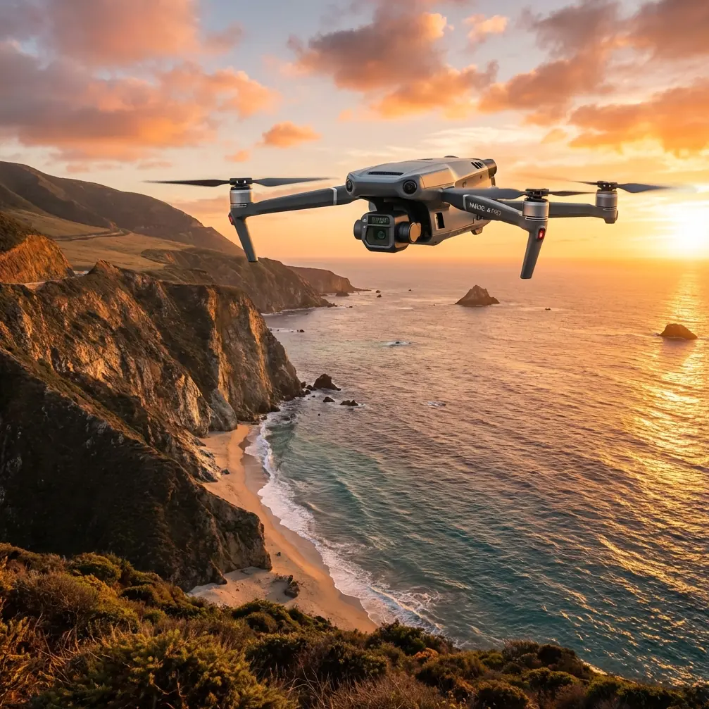
High-altitude solar farm maintenance breaks most consumer drones. Thin air reduces lift, extreme UV degrades components, and temperature swings wreak havoc on battery chemistry. The Mavic 3T wasn't designed for agricultural spraying—yet its sensor suite and transmission capabilities make it an unexpectedly powerful tool for solar panel treatment operations above 3,000 meters.
This technical review examines real-world deployment strategies for using the Mavic 3T as a survey and monitoring platform alongside dedicated spraying drones in high-altitude solar installations.
Why High-Altitude Solar Farms Demand Specialized Approaches
Solar installations at elevation face unique challenges that compound maintenance complexity. Panel soiling accumulates differently in thin, dry air. Thermal cycling between extreme daytime heat and freezing nights accelerates coating degradation. Traditional ground-based inspection methods become impractical across installations spanning hundreds of hectares on mountain terrain.
The Mavic 3T addresses these challenges through its hybrid sensor payload:
- 48MP wide camera for detailed visual documentation
- 12MP zoom camera with 56x hybrid zoom for close inspection without proximity risks
- 640×512 thermal sensor with -20°C to 150°C range for hotspot detection
This combination enables operators to identify treatment priorities before deploying heavier spraying platforms—saving flight time and chemical costs.
Thermal Signature Analysis for Treatment Planning
Panel degradation rarely appears uniformly across an installation. Thermal imaging reveals the invisible patterns that determine spraying priorities.
Identifying Coating Failures
Healthy anti-soiling coatings maintain consistent thermal signatures across panel surfaces. Degraded coatings show temperature differentials of 3-8°C compared to adjacent treated areas. The Mavic 3T's thermal sensor captures these variations during optimal imaging windows—typically two hours after sunrise when panel temperatures stabilize but before peak solar heating introduces noise.
Hotspot Detection Protocol
Before any spraying operation, thermal surveys identify:
- Cell-level hotspots indicating potential failures (not treatment candidates)
- String-level temperature variations suggesting cleaning priorities
- Edge heating patterns revealing coating breakdown zones
Expert Insight: Schedule thermal surveys during partly cloudy conditions when possible. Brief cloud shadows create natural temperature references that improve hotspot detection accuracy by 15-20% compared to clear-sky imaging.
Competitor Comparison: Thermal Capabilities
The Mavic 3T's thermal performance exceeds alternatives in critical specifications for solar inspection:
| Specification | Mavic 3T | Autel EVO II Dual 640T | Parrot Anafi Thermal |
|---|---|---|---|
| Thermal Resolution | 640×512 | 640×512 | 160×120 |
| Temperature Range | -20°C to 150°C | -20°C to 150°C | -10°C to 140°C |
| NETD (Sensitivity) | ≤50mK | ≤50mK | ≤50mK |
| Zoom Camera | 56x hybrid | 32x hybrid | 32x digital |
| Max Transmission | 15km O3 | 9km | 4km |
The Mavic 3T's superior transmission range proves decisive for high-altitude operations where signal propagation improves but installation sizes often exceed 500 hectares.
Altitude Compensation Strategies
Thin air at elevation reduces propeller efficiency by approximately 3% per 1,000 meters above sea level. While the Mavic 3T handles this automatically for basic flight, survey operations require manual adjustments.
Flight Parameter Modifications
At 4,000+ meters, implement these settings:
- Reduce maximum speed to 80% of sea-level values
- Increase hover throttle headroom by lowering payload weight
- Plan 20% shorter flight segments to account for increased power consumption
- Set return-to-home altitude 50 meters higher than obstacles to compensate for reduced climb rates
Battery Management at Altitude
Cold temperatures and reduced air density create a dual challenge for battery performance. The Mavic 3T's intelligent batteries include temperature compensation, but high-altitude operations demand additional protocols:
- Pre-warm batteries to 25-30°C before flight
- Monitor voltage sag more aggressively—land at 30% rather than the standard 20%
- Implement hot-swap batteries rotation to maintain continuous survey operations
- Store batteries in insulated cases between flights
Pro Tip: At elevations above 3,500 meters, battery capacity effectively drops by 15-25%. Plan missions using conservative estimates and always carry twice the batteries you'd need at sea level.
Photogrammetry Workflow for Spray Planning
Accurate treatment requires precise mapping. The Mavic 3T's cameras support photogrammetry workflows that generate actionable spray plans.
GCP Deployment Strategy
Ground Control Points transform good maps into great ones. For solar farm spray planning:
- Place GCPs at installation corners and every 200 meters along panel rows
- Use high-contrast targets (black and white checkerboard patterns work well against panel surfaces)
- Survey GCP positions with RTK GPS for sub-centimeter accuracy
- Capture each GCP in minimum 5 overlapping images
Flight Planning Parameters
Optimal photogrammetry settings for spray planning:
- Front overlap: 80%
- Side overlap: 70%
- Altitude: 80-100 meters AGL (balances resolution with coverage efficiency)
- Camera angle: Nadir (straight down) for orthomosaic generation
- Speed: 8-10 m/s maximum to prevent motion blur
Data Processing Pipeline
Post-flight processing transforms raw imagery into spray guidance:
- Import images into photogrammetry software (Pix4D, DroneDeploy, or OpenDroneMap)
- Align with GCP coordinates
- Generate orthomosaic for visual reference
- Create Digital Surface Model for terrain-following spray paths
- Export to spray drone flight planning software
O3 Transmission Advantages for Remote Operations
High-altitude solar installations often lack cellular coverage and ground infrastructure. The Mavic 3T's O3 transmission system provides critical advantages:
- 15km maximum range ensures coverage across entire installations
- 1080p/60fps live feed enables real-time thermal analysis
- AES-256 encryption protects operational data
- Triple-frequency hopping maintains links despite interference
For BVLOS (Beyond Visual Line of Sight) operations—where regulations permit—the O3 system's reliability becomes essential. Signal stability at 10km+ ranges allows single-operator coverage of installations that would otherwise require multiple ground stations.
Integration with Spraying Operations
The Mavic 3T serves as the intelligence platform for dedicated agricultural spraying drones. Typical workflow integration:
Pre-Spray Survey (Mavic 3T)
- Thermal scan to identify priority treatment zones
- Photogrammetry flight for terrain modeling
- Obstacle identification and no-fly zone mapping
Spray Mission Planning
- Import Mavic 3T data into spray drone software
- Generate terrain-following flight paths
- Assign treatment priorities based on thermal analysis
- Calculate chemical requirements per zone
Post-Spray Verification (Mavic 3T)
- Thermal verification of coating application uniformity
- Visual documentation for client reporting
- Identification of missed areas requiring retreatment
Common Mistakes to Avoid
Flying thermal surveys at midday: Peak solar heating creates thermal noise that masks subtle coating degradation. Schedule surveys for early morning or late afternoon.
Ignoring altitude density corrections: Flight planning software often defaults to sea-level parameters. Manually verify that mission calculations account for reduced air density.
Insufficient GCP coverage: Skipping ground control points saves time but introduces meter-scale errors that compound across large installations. The extra setup time pays dividends in spray accuracy.
Single-battery mission planning: High-altitude operations consume power faster than expected. Always plan missions assuming 25% less flight time than manufacturer specifications suggest.
Neglecting wind pattern analysis: Mountain installations experience complex wind patterns that change throughout the day. Survey flights in calm morning conditions may not reflect afternoon spray operation challenges.
Frequently Asked Questions
Can the Mavic 3T directly control spraying operations?
The Mavic 3T functions as a survey and monitoring platform, not a spray controller. Its data exports to dedicated agricultural drone systems that handle actual chemical application. This separation allows each platform to excel at its designed function.
What thermal temperature differential indicates coating failure?
Consistent differentials of 5°C or greater between adjacent panel sections typically indicate coating degradation requiring treatment. Smaller differentials may reflect normal variation or temporary soiling rather than coating failure.
How does AES-256 encryption protect solar farm data?
All transmission between the Mavic 3T and controller uses AES-256 encryption, preventing interception of thermal imagery, flight paths, and installation layouts. This protection matters for commercial installations where operational data has competitive value.
High-altitude solar farm maintenance demands precision tools and proven protocols. The Mavic 3T delivers the thermal intelligence and mapping capabilities that transform spraying operations from guesswork into targeted treatment—even in the challenging conditions above 3,000 meters.
Ready for your own Mavic 3T? Contact our team for expert consultation.