Mavic 3T on Mountain Solar Farms: A Practical Field Method
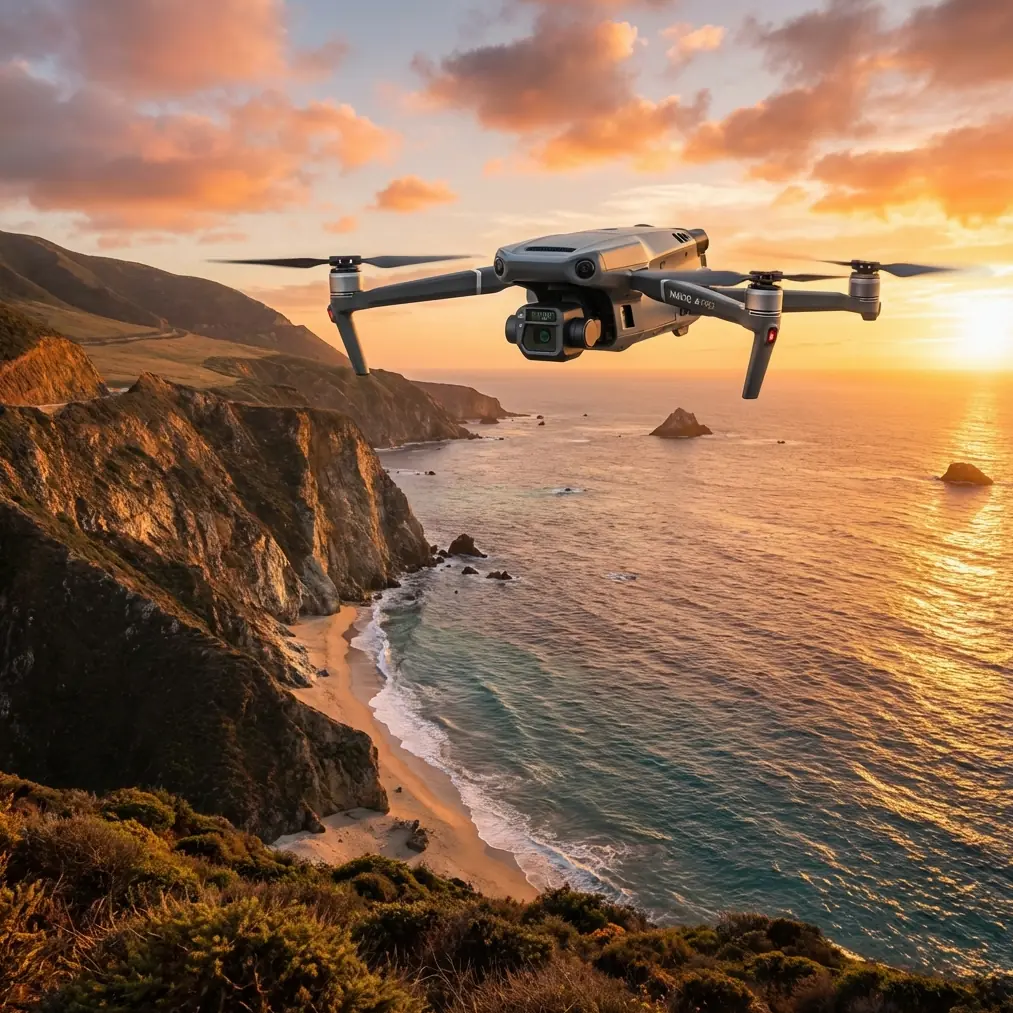
Mavic 3T on Mountain Solar Farms: A Practical Field Method for Thermal Checks Before Targeted Spraying
META: A field-tested how-to for using the DJI Mavic 3T around mountain solar farms, with thermal workflow tips, transmission planning, battery strategy, and mapping practices that improve targeted maintenance.
By Dr. Lisa Wang, Specialist
Mountain solar sites punish sloppy workflow. Panels are spread across uneven ground, access roads twist along ridgelines, wind shifts between rows, and small faults turn into long walks for ground crews. Years ago, one of the hardest parts of these jobs was not flying the drone. It was deciding where to send people after the flight.
A standard visual survey could tell us that a block looked “off.” It could not always tell us which strings deserved immediate attention, which hotspots were tied to dust buildup or vegetation shadowing, and which anomalies were serious enough to justify a second crew carrying cleaning or treatment equipment into steep terrain. That gap between spotting a problem and acting on it is where the Mavic 3T has made the biggest difference.
This article is built for a very specific scenario: using the Mavic 3T around mountain solar farms to support targeted spraying and maintenance planning. The drone is not a spraying aircraft. It is the aircraft you use first, so the spraying or cleaning team goes to the right place, with the right priority, instead of wasting a day on broad treatment across a hillside.
Start with the actual problem: mountain terrain distorts normal solar workflows
On flat sites, a crew can move quickly from one inverter zone to another. In mountains, every extra inspection point has a cost. Walking lines across terraces and slopes is slower, vehicle repositioning is slower, and weather windows are shorter. If your pre-treatment survey is vague, your downstream operation becomes expensive.
That is why the Mavic 3T matters less as a “feature-rich drone” and more as a decision tool. Its thermal signature capability helps separate normal heat variation from repeatable fault patterns. When a site team needs to decide where to clean, where to inspect connectors, or where to address vegetation and contamination issues before output drops further, that thermal layer changes the quality of the answer.
The reason this works well on mountain solar farms is simple: elevation and angle create more false visual impressions than people expect. A row can appear uniformly dusty from one viewing angle and nearly clean from another. Thermal imaging gives you another layer of truth, especially when the sun angle is managed properly and the mission is flown consistently.
Step 1: Use the Mavic 3T as a triage platform, not just a camera in the air
A lot of teams make the mistake of flying the entire site at maximum pace and reviewing everything later. On mountain terrain, that often creates too much data and not enough action. The better method is triage.
Break the site into operational blocks:
- upper slope arrays
- mid-slope terraces
- shaded edge zones
- drainage-adjacent rows
- access-limited sections
Then fly the Mavic 3T to answer three questions:
- Which blocks show abnormal thermal distribution?
- Which anomalies are spatially clustered enough to justify a maintenance or spraying visit?
- Which areas need a second-pass, higher-detail inspection before dispatching a crew?
This approach matters because a thermal anomaly by itself is not the maintenance plan. It is the trigger for the next decision. If your ultimate goal is spraying around panel edges, reducing vegetation near cable routes, or supporting cleaning teams in contamination-heavy areas, you need location confidence first.
Step 2: Build a repeatable thermal mission profile
The Mavic 3T is most useful when data is comparable from one flight to the next. That means resisting the urge to improvise altitude, angle, and route every time conditions change.
For mountain solar work, consistency beats artistic flying.
Set a repeatable mission profile around:
- similar flight altitude over the array surface, not just above takeoff point
- consistent pass direction where terrain allows
- stable overlap if you plan to compare image sets later
- controlled timing relative to sun exposure and heating cycle
This is where photogrammetry thinking helps even if your end goal is maintenance rather than a survey deliverable. If your imagery and thermal capture follow a structured geometry, you can align suspect zones more accurately across visits. That becomes especially valuable when trying to prove whether a hotspot is getting worse or whether a cleaning/treatment intervention helped.
If the site operator wants a defensible record, add GCP discipline where practical. Not every mountain solar job needs a full survey-grade setup, but ground control points can tighten positional confidence when you are matching drone findings to exact row locations on a large site. On steep terrain with repeating panel patterns, that extra spatial control reduces confusion during field dispatch.
Step 3: Treat O3 transmission as an operational safety and productivity tool
One of the underappreciated strengths in this kind of work is transmission reliability. On mountain sites, line of sight can disappear quickly behind terrain breaks, equipment shelters, or row elevation changes. The Mavic 3T’s O3 transmission capability matters because it helps maintain a more stable live view and command link in difficult layouts.
Operational significance is straightforward: better signal resilience means fewer interrupted passes, fewer unnecessary repositionings, and less uncertainty when you are tracing a hotspot across multiple rows. On a mountain site, every forced relocation of the pilot station costs time.
That does not mean you should push the aircraft carelessly around terrain obstacles. It means you can plan smarter pilot positions and maintain better continuity during structured inspections. For operators working under strict company procedures, this also improves the quality of recorded observations because the pilot is less likely to break mission rhythm every few minutes.
If your organization is building toward more advanced workflows, transmission stability also supports future BVLOS planning conversations. Not every operator will be authorized for that type of operation, and local rules always control the outcome. But from a workflow design perspective, the Mavic 3T fits into a more scalable inspection model than many teams used a few years ago.
Step 4: Use AES-256 as part of your site data policy, not as a brochure bullet
Solar infrastructure owners care about performance data, site layout, and asset condition. Inspection imagery can reveal a lot more than panel temperature. It can expose equipment positions, access routes, maintenance timing, and recurring weak points in the site.
That is why AES-256 matters in practice. It supports stronger handling of recorded data and internal transfer processes. For contractors working on third-party solar assets, secure data treatment is not optional. It is part of professional trust.
The significance here is operational rather than abstract. If you are collecting thermal and visual evidence that will later guide maintenance crews, insurers, EPC partners, or asset managers, you need a secure chain from flight to review. On multi-site contracts, weak data handling creates avoidable risk. The Mavic 3T belongs in a workflow that includes controlled storage, role-based access, and clean reporting discipline.
Step 5: Plan battery strategy around terrain, not nominal flight time
Mountain jobs expose another weakness in casual drone operations: battery planning based on flat-site habits. Climbing, wind correction, repeated orbiting over suspect rows, and frequent relocation all eat into usable endurance.
This is where hot-swap batteries become more than a convenience. They shorten downtime between sorties and keep your thermal window intact. If you identify a suspicious cluster and need a confirmation pass while surface conditions are still comparable, losing too much time on the ground can reduce the value of the second flight.
I learned this the hard way on a ridge-based site where late-morning heating changed faster than expected. By the time a second aircraft was prepped under the old workflow, the thermal contrast had shifted enough to complicate interpretation. A faster turnaround with a better battery-handling routine would have saved us a lot of debate.
For the Mavic 3T workflow, the practical lesson is this:
- stage batteries close to the active launch point
- assign one crew member to battery rotation and logging
- tie each battery cycle to a specific block or anomaly review task
- do not mix exploratory flying with validation flights on the same battery if terrain is challenging
That level of discipline sounds small. On a mountain solar farm, it is the difference between a coherent inspection day and a patchwork of partially useful flights.
Step 6: Turn thermal findings into a targeted spraying map
Now to the reader’s real-world objective: spraying around a mountain solar farm.
The Mavic 3T should not be treated as the spray solution. It is the intelligence layer before treatment. Once thermal review identifies patterns, the next move is to convert those findings into a practical task map.
Typical categories include:
- vegetation growth creating recurring edge shading
- contamination-heavy areas linked to runoff or windborne dust
- drainage zones where buildup repeats after weather events
- rows near damaged components that need non-spray maintenance first
- access corridors where treatment teams can work efficiently without extra climbs
This is where photogrammetry and thermal analysis intersect. Thermal identifies the suspicious zone. Structured visual capture helps define the exact work area. Together, they allow you to avoid broad, unnecessary treatment across the whole site.
That matters on mountain properties because overservicing is expensive. Sending crews to treat every row “just in case” wastes time, increases exposure to terrain hazards, and often delays the truly urgent maintenance block. A Mavic 3T-led workflow helps narrow the intervention.
If your team is trying to design that handoff between aerial findings and field execution, send your project outline here: https://wa.me/85255379740
Step 7: Validate before dispatching treatment crews
A thermal hotspot does not always mean “spray here.” It may indicate a failed bypass diode, a connector issue, delamination, or soiling. Some conditions justify cleaning or vegetation treatment nearby; others require electrical inspection first.
That is why I recommend a simple three-stage validation model:
A. Detect
Fly the Mavic 3T on a structured route and flag thermal anomalies.
B. Classify
Compare thermal signature, visual imagery, slope position, drainage context, and row history.
C. Dispatch
Send the correct team:
- cleaning or treatment crew
- vegetation management crew
- electrical maintenance crew
- follow-up inspection team
This is where many solar operators recover hidden efficiency. They stop treating every anomaly as the same problem. The drone does not replace site expertise; it sharpens it.
Step 8: Keep records that help future missions, not just today’s report
A good mountain solar inspection should make the next inspection easier. That means storing outputs in a way that preserves operational memory.
For each flagged zone, keep:
- thermal image references
- visual context images
- row or block identifier
- terrain notes
- intervention type
- revisit priority
- date and time of capture
If you have used GCP-supported mapping on larger sections, tie those records to a common site framework. Over time, this creates a much more useful maintenance archive than isolated screenshots and pilot notes. When a hotspot reappears after seasonal weather or dust transport, you can compare patterns rather than starting from zero.
Common mistakes when using the Mavic 3T around solar farms in mountains
Flying too late in the day
Thermal contrast can flatten or become harder to interpret depending on surface conditions and weather changes.
Ignoring terrain-induced signal planning
Even with O3 transmission, ridges and layout breaks still require smart positioning.
Treating all hotspots as cleaning issues
Some need electrical diagnosis first.
Skipping positional discipline
Without consistent routes, overlap, or occasional GCP use, repeat analysis becomes weaker.
Wasting thermal windows during battery changes
Hot-swap efficiency matters more on mountain sites than many crews expect.
The real advantage of the Mavic 3T here
The Mavic 3T is not just useful because it has thermal imaging. Plenty of people stop at that sentence and miss the practical value. Its real advantage on mountain solar farms is that it compresses the time between detection and informed action.
That may mean identifying a thermal signature tied to dust accumulation in a runoff corridor. It may mean proving that a suspected problem area does not need a full-site treatment pass. It may mean giving the field team precise rows to reach before cloud cover changes conditions. It may mean preserving site data securely through AES-256-backed handling while maintaining stable inspection continuity with O3 transmission.
Those are not abstract specifications. They are workflow advantages.
When I think back to the earlier jobs that took too long, the pain was rarely “we did not have a drone.” The pain was that we did not have a clean bridge between aerial observation and ground action. For mountain solar farms, the Mavic 3T is that bridge when it is used with discipline.
If your goal is smarter spraying support, more credible thermal interpretation, and fewer wasted climbs across steep rows, start there. Fly to decide. Then send the right crew.
Ready for your own Mavic 3T? Contact our team for expert consultation.