Mavic 3T on Mountain Solar Farms: What Actually Matters
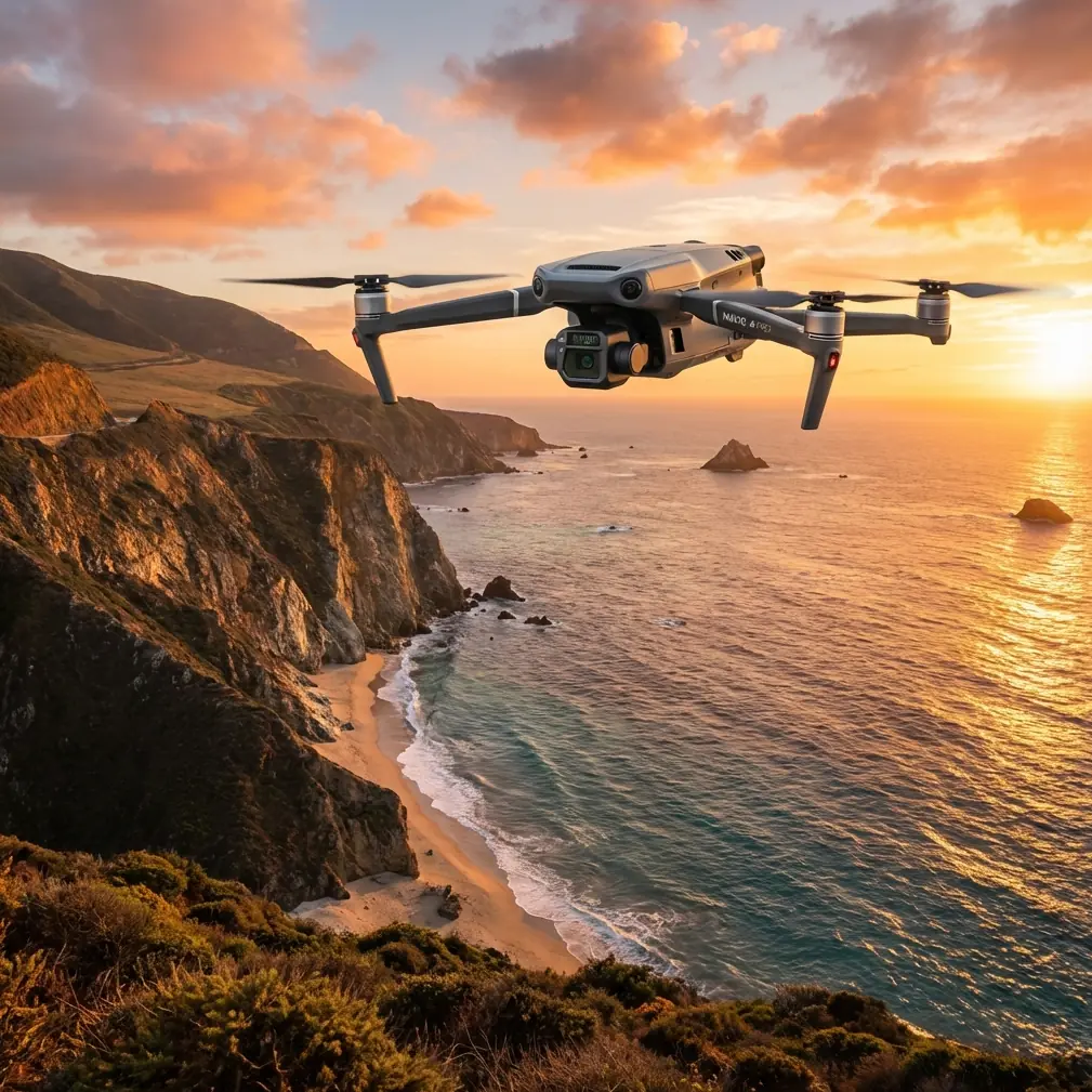
Mavic 3T on Mountain Solar Farms: What Actually Matters Before You Fly
META: A technical review of using the DJI Mavic 3T around mountain solar farms, focused on firmware discipline, interference handling, thermal workflow, and operational reliability.
Mountain solar sites expose the difference between a drone that merely flies and a drone operation that stays productive all week.
The Mavic 3T is often discussed in broad terms—thermal payload, compact airframe, enterprise workflow—but that level of conversation is too shallow for crews working around photovoltaic strings, reflective panel fields, sloped access roads, and unstable RF conditions. If your actual mission environment is a mountain solar farm, the real story is not just the aircraft. It is the system around the aircraft: how you maintain it, how you manage interference, how you verify updates, and how you interpret thermal data without being fooled by the site itself.
That is where a lot of field teams either gain efficiency or burn time.
Why mountain solar farms are a different kind of drone job
Solar plants in mountainous terrain are hostile to sloppy procedures. Elevation changes affect signal geometry. Metallic framing and inverter areas can create local electromagnetic clutter. Large panel arrays throw glare into visible sensors and produce thermal patterns that look meaningful until you account for slope angle, sun loading, and string layout.
For Mavic 3T operators, this means your mission quality is shaped by two layers at once:
- the aircraft’s imaging and transmission capability
- the discipline of your preflight and maintenance routine
Most operators focus almost entirely on the first layer. Experienced teams know the second one determines whether the first can be trusted.
The overlooked foundation: firmware discipline is operational risk control
One of the most useful reference details here comes from DJI’s documented firmware procedure for another enterprise platform. Even though the source is not Mavic 3T-specific, the operational lesson transfers directly: remove propellers before firmware upgrades to avoid damage from accidental motor start, and keep people and objects clear of the motors during the process.
That sounds basic. It is not trivial in the field.
On a mountain solar site, teams often update aircraft or controller firmware from vehicles, temporary site shelters, or narrow service roads between panel blocks. Those are exactly the kinds of places where “quick update” habits become expensive. If a drone powers unexpectedly during maintenance, you are not just risking a minor incident. You may damage props, stress the gimbal, or lose time before a thermal inspection window that only exists for a limited part of the day.
The same reference also gives another practical detail: the remote controller should have at least 50% battery before starting a firmware update. Again, this is not a clerical checkbox. If your controller restarts mid-process or drops power, you can lose the better part of a work session trying to recover and relink equipment instead of scanning panel rows.
For mountain solar operations, firmware planning belongs in the same category as flight planning. My recommendation is simple:
- never update on the slope unless there is a hard operational reason
- remove props before any firmware work
- keep the controller well above the 50% threshold, not barely at it
- schedule updates back at base or in a controlled vehicle setup before deployment
A reference detail worth keeping in your SOP is storage format support: only FAT32 or exFAT Micro SD media is supported in the cited upgrade procedure. That kind of small compatibility issue is exactly what causes avoidable upgrade failures in the field. If your Mavic 3T team uses shared cards for thermal exports, photogrammetry sets, and firmware packages, standardization matters more than people think.
Why update hygiene matters more on the Mavic 3T than people admit
The Mavic 3T is often used as a “fast response” aircraft. That creates a behavioral trap. Because it packs down quickly and launches fast, crews treat the whole system casually. But solar inspection is not casual work.
A thermal inspection on a mountain array depends on consistency. You are comparing module behavior across repeated patterns. If firmware changes alter controller behavior, camera interactions, system stability, or reconnect timing, your operational rhythm changes too. Even if the aircraft itself remains stable, unnecessary downtime can destroy the thermal window you planned around.
This becomes even more relevant when the same drone is serving multiple site tasks:
- thermal fault localization
- visible documentation for maintenance tickets
- quick photogrammetry of access routes or drainage changes
- post-repair verification
- training flights for newer pilots
When one aircraft carries multiple responsibilities, update discipline stops being an IT task and becomes fleet reliability management.
Electromagnetic interference: where mountain solar crews win or lose signal quality
Let’s get to the field issue that causes the most confusion: interference.
The reader scenario mentions mountain solar spraying, but in practice many Mavic 3T missions at these sites are inspection, thermal review, route validation, and site condition checks around vegetation control or maintenance coordination. In these environments, the interference problem is real even when the aircraft is technically within comfortable range.
What makes these sites tricky is not just distance. It is geometry.
You may have:
- panel rows acting as reflective surfaces
- inverter stations concentrating electrical equipment
- terrain breaks blocking direct path
- antennas pointed correctly for level terrain but poorly for elevated or descending flight lines
This is where O3 transmission performance is only as good as the operator’s antenna discipline. If the controller is held as if you were flying over a flat open field, you can create your own signal weakness. Small antenna adjustments often solve what pilots mislabel as “random interference.”
Here is the practical method I teach crews:
1. Stop chasing the aircraft with the controller
Do not point the controller tips directly at the drone as if they were a flashlight beam. Maintain the proper broadside orientation for the strongest link envelope.
2. Reevaluate body position before blaming the site
At mountain plants, one step sideways can matter. Move away from parked vehicles, metal railings, inverter housings, or temporary structures before assuming the site is unusable.
3. Use terrain-aware antenna adjustment
If the drone is crossing a slope below your position, the ideal controller angle often differs from what feels intuitive on flat ground. Adjust for elevation offset, not just compass direction.
4. Avoid lingering above electrically dense infrastructure
If the mission objective does not require prolonged hovering over inverter clusters or combiner areas, keep the aircraft moving through those zones and perform detailed review from cleaner positions.
This matters because a weak transmission link is not just a piloting annoyance. It affects how confidently you can interpret thermal anomalies in real time. If your feed breaks up during a suspected hotspot review, you may need a second pass. On a site with changing irradiance or wind, a second pass does not always reproduce the same conditions cleanly.
Thermal signature interpretation: the easy mistake on sloped arrays
The term “thermal signature” gets thrown around too loosely. On mountain solar farms, thermal imagery is full of false confidence.
A warm module is not automatically a defective module. A cooler patch is not automatically healthy. Tilt angle, airflow, partial shading, dust accumulation, and sun position all shape what you see. The Mavic 3T gives you the advantage of rapid thermal scanning, but the advantage only holds if you read the image in site context.
Operationally, two habits help:
- compare anomalies against adjacent modules in the same geometric and lighting condition
- use the visible camera to validate whether thermal contrast corresponds to something physical, such as contamination, shadow edge, or installation inconsistency
That second step is especially useful on mountain sites because terrain-driven shadow variation can create convincing but misleading heat patterns. The best Mavic 3T operators do not just spot contrast. They classify whether that contrast deserves maintenance action.
Photogrammetry and GCPs still matter, even when thermal is the headline
A lot of teams think of the Mavic 3T as the thermal drone and forget that site understanding improves when you combine thermal work with mapping logic. If you are documenting drainage movement, erosion near support structures, access degradation, or vegetation encroachment around panel blocks, photogrammetry becomes more than an extra deliverable.
It becomes context for thermal decisions.
Ground control points, or GCPs, can still be valuable in mountainous environments where elevation change complicates alignment. If you are comparing repeat captures over time, even modest improvements in positional consistency help maintenance teams tie a thermal finding to the correct row, table, or access path without ambiguity.
No, most solar teams do not need survey-grade complexity for every flight. But they do need enough geospatial discipline that a flagged issue can be found again by the technician walking uphill with tools. A beautiful thermal screenshot that cannot be reliably relocated is not operationally mature output.
Data integrity is now part of site trust
One of the contextual hints provided was AES-256, and while operators do not need to turn every mission into a cybersecurity seminar, the significance is real for commercial energy sites. Solar infrastructure owners increasingly care about where imagery goes, how it is stored, and who can access it.
For the Mavic 3T workflow, secure handling is not abstract. Thermal imagery can reveal equipment condition, maintenance timing, and site layout. On privately operated energy assets, that information should be handled with the same professionalism as any other operational record.
That means:
- controlled device use
- clean media management
- disciplined firmware sourcing
- predictable upload and archive workflows
This loops back to the firmware reference in a useful way. DJI’s guidance emphasizes obtaining the correct package and maintaining clean storage conditions, including keeping only a single firmware package version on the card to prevent upgrade errors. That same mindset belongs in your site data process. Mixed files, random card reuse, and casual file handling are not signs of an agile team. They are signs of future confusion.
A note on hot-swap expectations and field tempo
Another contextual phrase in the brief was hot-swap batteries. The key point for Mavic 3T operators is expectation management. On mountain solar sites, time pressure often tempts teams to treat every battery cycle as a pit-stop exercise. The reality is that compact enterprise drones reward disciplined battery rotation more than rushed turnover.
If you are covering multiple blocks in a day, build battery staging into the plan:
- label packs by cycle and condition
- avoid mixing mission-critical thermal runs with borderline charge states
- schedule the most temperature-sensitive inspections during your best battery window, not your last one
The goal is not speed for its own sake. It is consistency. Thermal work especially benefits from repeatable aircraft behavior and predictable mission timing.
The practical value of a controller-first workflow
Another concrete reference detail deserves attention: remote controller firmware updates are handled through the DJI GO App workflow, and the download package uses about 30 MB of device storage. The exact app ecosystem varies by platform generation, but the operating lesson is still strong: your mobile device and controller are not secondary accessories. They are mission infrastructure.
Before heading to a mountain site, check:
- controller battery well above 50%
- device internet access available if any updates are pending
- sufficient free storage space
- firmware status verified before departure, not after arrival
- possible need to relink aircraft and controller after updates
That last point is easy to miss. The reference notes that after firmware completion, the controller may disconnect from the aircraft and require relinking. On a remote solar site, discovering that after unloading gear is a needless delay.
If your team wants a field checklist adapted for mountain solar workflows, I usually suggest building one around update status, SD card format, prop removal during maintenance, antenna posture, and thermal capture timing. If you want to compare notes with someone who has structured these SOPs for commercial crews, you can message me here: send your site workflow questions.
Where the Mavic 3T fits best on mountain solar work
The Mavic 3T is not magic. It is a very capable platform whose value increases sharply when the operator respects the environment it is flying in.
For mountain solar farms, its real strengths show up when you pair them with process:
- thermal scanning backed by visible confirmation
- compact deployment backed by strict firmware discipline
- strong transmission backed by deliberate antenna adjustment
- mapping support backed by enough GCP logic to relocate findings later
- secure data handling backed by clean media and update practices
That is the difference between collecting imagery and producing decisions.
Too much online content about the Mavic 3T stays at brochure altitude. Crews working around sloped panel fields, inverter noise, and narrow thermal windows need something else: a workflow that survives contact with the site. The reference details we pulled in here—prop removal before updates, 50% controller battery minimum, supported FAT32 or exFAT media, possible relinking after firmware changes, and the need to keep upgrade files clean and singular on the card—may sound small. In real operations, those small details are what preserve flight time, prevent confusion, and protect data quality.
And on a mountain solar farm, that is what professionalism looks like.
Ready for your own Mavic 3T? Contact our team for expert consultation.