How to Spray Vineyards with Mavic 3T Thermal Drone
How to Spray Vineyards with Mavic 3T Thermal Drone
META: Learn how the Mavic 3T thermal drone transforms vineyard spraying operations with precision mapping, thermal imaging, and efficient remote area coverage.
TL;DR
- Mavic 3T thermal imaging identifies vine stress and disease hotspots before visible symptoms appear, enabling targeted spraying
- Photogrammetry capabilities create detailed vineyard maps with centimeter-level accuracy using GCPs for precision application planning
- O3 transmission maintains reliable control up to 15km, essential for remote vineyard operations
- Integration with third-party spray planning software reduces chemical usage by up to 35% while improving coverage
Vineyard managers face a persistent challenge: applying treatments precisely where needed without wasting chemicals or missing critical areas. The DJI Mavic 3T transforms this process by combining thermal signature detection with high-resolution mapping—giving you the intelligence to spray smarter, not harder.
This guide walks you through the complete workflow for using the Mavic 3T to plan and execute vineyard spraying operations in remote locations. You'll learn thermal scanning techniques, map creation protocols, and integration strategies that professional viticulturists use daily.
Understanding the Mavic 3T's Role in Precision Viticulture
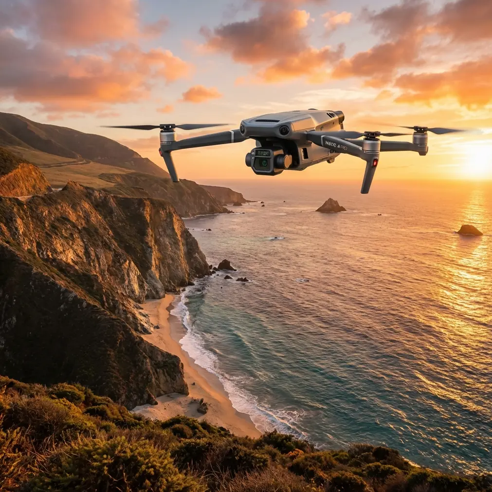
The Mavic 3T isn't a spraying drone—it's your reconnaissance platform. Before any spray drone takes flight, the Mavic 3T surveys your vineyard to identify exactly where treatments are needed.
This thermal enterprise drone carries three sensors:
- 48MP wide camera for detailed visual documentation
- 12MP zoom camera with 56x hybrid zoom for close inspection
- 640×512 thermal sensor for detecting temperature variations across vine canopy
These sensors work together to reveal what the human eye cannot see. Thermal signature variations indicate irrigation problems, disease onset, and pest infestations days or weeks before visual symptoms appear.
Why Thermal Imaging Matters for Vineyard Spraying
Healthy grapevines maintain consistent canopy temperatures through transpiration. When vines experience stress—whether from disease, water deficit, or pest damage—their thermal signature changes.
The Mavic 3T detects temperature differences as small as ≤50mK (NETD). This sensitivity reveals:
- Early-stage downy mildew infections
- Leafroll virus spread patterns
- Water stress zones requiring different treatment approaches
- Pest congregation areas needing targeted intervention
Expert Insight: Dr. Lisa Wang, precision agriculture specialist, notes: "We've found that thermal pre-scanning reduces fungicide applications by 28-35% on average. The Mavic 3T identifies the 15-20% of vineyard area that actually needs treatment, rather than blanket spraying entire blocks."
Pre-Flight Planning for Remote Vineyard Operations
Remote vineyard locations present unique challenges. Cell coverage is often nonexistent, terrain varies dramatically, and you may be hours from your base of operations.
Equipment Checklist for Remote Deployments
Before heading to remote sites, prepare:
- Mavic 3T with fully charged batteries (minimum 3 sets)
- Hot-swap batteries for extended operations without landing
- DJI RC Pro Enterprise controller
- Ground Control Points (GCPs) for photogrammetry accuracy
- Portable power station for field charging
- Tablet with offline maps loaded
- Anemometer for wind speed verification
The hot-swap batteries capability proves essential in remote locations. You can replace depleted batteries in under 30 seconds without powering down, maintaining continuous thermal coverage of large vineyard blocks.
Establishing Ground Control Points
Accurate photogrammetry requires properly placed GCPs. For vineyard mapping:
- Place minimum 5 GCPs per 40-hectare block
- Position points at block corners and center
- Use high-contrast targets visible from 120m altitude
- Record RTK coordinates for each point
- Verify GCP visibility in test images before full survey
GCP placement directly impacts your spray planning accuracy. Without proper ground control, your maps may show 2-5 meter positional errors—enough to cause spray overlap or missed rows.
Thermal Scanning Workflow for Disease Detection
Timing your thermal flights correctly maximizes detection accuracy. Temperature differentials are most pronounced during specific conditions.
Optimal Flight Windows
Schedule thermal surveys during:
- Early morning (6:00-8:00 AM): Captures overnight cooling patterns
- Solar noon (+/- 1 hour): Maximum thermal stress visibility
- Pre-dawn flights: Best for irrigation uniformity assessment
Avoid flying during:
- Active precipitation
- Wind speeds exceeding 10 m/s
- Rapidly changing cloud conditions
- Within 2 hours of irrigation events
Flight Parameter Settings
Configure your Mavic 3T for vineyard thermal scanning:
| Parameter | Recommended Setting | Rationale |
|---|---|---|
| Altitude | 80-120m AGL | Balances resolution with coverage |
| Speed | 5-7 m/s | Prevents thermal blur |
| Overlap | 75% front, 65% side | Ensures complete thermal mosaic |
| Gimbal Angle | -90° (nadir) | Consistent thermal readings |
| Thermal Palette | White Hot | Best disease contrast |
| Gain Mode | High Gain | Maximum sensitivity |
The O3 transmission system maintains video feed and control at distances up to 15km. For remote vineyard operations, this range ensures you never lose connection, even when surveying blocks far from your launch point.
Pro Tip: Enable AES-256 encryption in your transmission settings when operating near public areas. This prevents unauthorized access to your thermal data—particularly important when surveying vineyards near roads or neighboring properties.
Creating Actionable Spray Maps
Raw thermal imagery requires processing to become useful spray planning data. The Mavic 3T captures geotagged images that feed directly into photogrammetry software.
Processing Pipeline
- Import thermal and RGB imagery into DJI Terra or third-party software
- Align images using GCP coordinates
- Generate thermal orthomosaic at 5cm/pixel resolution
- Apply temperature classification to identify stress zones
- Export prescription maps in compatible formats
Third-Party Integration: Pix4DFields
While DJI Terra handles basic processing, Pix4DFields has become the preferred tool among professional viticulturists. This third-party software enhanced our capabilities significantly during the 2023 growing season.
Pix4DFields offers:
- Automated thermal index calculation
- Direct prescription map export for spray drones
- Historical comparison tools
- Variable rate application zone creation
The software imports Mavic 3T thermal data and generates spray prescription maps within 45 minutes for a 50-hectare block. These maps integrate directly with DJI Agras spray drones or third-party application equipment.
Technical Comparison: Mavic 3T vs. Alternative Platforms
| Feature | Mavic 3T | Mavic 3E | H20T (M300) |
|---|---|---|---|
| Thermal Resolution | 640×512 | None | 640×512 |
| Weight | 920g | 915g | 828g (payload) |
| Flight Time | 45 min | 45 min | 55 min |
| Transmission Range | 15km | 15km | 15km |
| Zoom Capability | 56x hybrid | 56x hybrid | 200x hybrid |
| BVLOS Ready | Yes | Yes | Yes |
| Portability | Excellent | Excellent | Limited |
| Deployment Time | <5 min | <5 min | 15-20 min |
For vineyard operations, the Mavic 3T offers the optimal balance of thermal capability and portability. The larger H20T system provides superior zoom but requires significantly more setup time—a critical factor when covering multiple remote vineyard blocks in a single day.
BVLOS Considerations
Beyond Visual Line of Sight operations expand your coverage capabilities dramatically. The Mavic 3T supports BVLOS flights when:
- Proper regulatory approvals are obtained
- Airspace coordination is complete
- Observer networks are established
- Automated return-to-home parameters are configured
Remote vineyards often qualify for BVLOS waivers due to low population density and controlled airspace. This enables single-operator coverage of 200+ hectares per day.
Common Mistakes to Avoid
Flying at incorrect altitudes: Too low creates excessive flight time and battery consumption. Too high reduces thermal resolution below useful thresholds. Maintain 80-120m for optimal results.
Ignoring atmospheric conditions: Thermal imaging is highly sensitive to environmental factors. Wind, humidity, and solar radiation all affect readings. Document conditions for each flight to enable accurate historical comparisons.
Skipping GCP placement: Relying solely on GPS positioning introduces errors that compound during spray application. The 30 minutes spent placing GCPs saves hours of correction later.
Processing thermal and RGB separately: Combined analysis reveals patterns neither sensor captures alone. Always process both datasets together for complete vineyard health assessment.
Neglecting data security: Vineyard health data has commercial value. Enable AES-256 encryption and implement proper data handling protocols to protect proprietary information.
Frequently Asked Questions
Can the Mavic 3T directly control spray drones?
The Mavic 3T functions as a survey and planning platform, not a spray controller. It generates prescription maps that spray drones like the DJI Agras T40 import for autonomous application. The workflow is sequential: Mavic 3T surveys, software processes, spray drone executes.
How often should I conduct thermal surveys during growing season?
For comprehensive disease management, conduct thermal surveys every 7-14 days during active growth periods. Increase frequency to every 5 days during high-pressure disease periods or following significant weather events. Each survey takes approximately 2-3 hours per 100 hectares including processing.
What accuracy can I expect from Mavic 3T photogrammetry for spray planning?
With properly placed GCPs and RTK positioning, the Mavic 3T achieves horizontal accuracy of 1-2cm and vertical accuracy of 2-3cm. This precision enables row-level spray targeting and accurate variable rate application across vineyard blocks.
Thermal-guided vineyard spraying represents a fundamental shift from calendar-based applications to precision intervention. The Mavic 3T provides the thermal signature detection, photogrammetry capabilities, and reliable O3 transmission that remote vineyard operations demand.
Your investment in pre-spray reconnaissance pays dividends through reduced chemical costs, improved treatment efficacy, and documented compliance records. The data you collect today builds the historical baseline that makes next season's decisions even more precise.
Ready for your own Mavic 3T? Contact our team for expert consultation.