Surveying Construction Sites with Mavic 3T | Expert Tips
Surveying Construction Sites with Mavic 3T | Expert Tips
META: Master low-light construction surveying with the Mavic 3T. Expert tips on thermal imaging, optimal altitudes, and photogrammetry workflows for accurate site data.
TL;DR
- Fly at 80-120 meters AGL for optimal thermal signature detection and photogrammetry overlap in low-light construction surveys
- The Mavic 3T's 640×512 thermal sensor captures critical temperature differentials during dawn/dusk golden hours
- O3 transmission maintains stable video feeds up to 15km, essential for large construction sites
- Combine RGB and thermal data with properly distributed GCP points for sub-centimeter accuracy
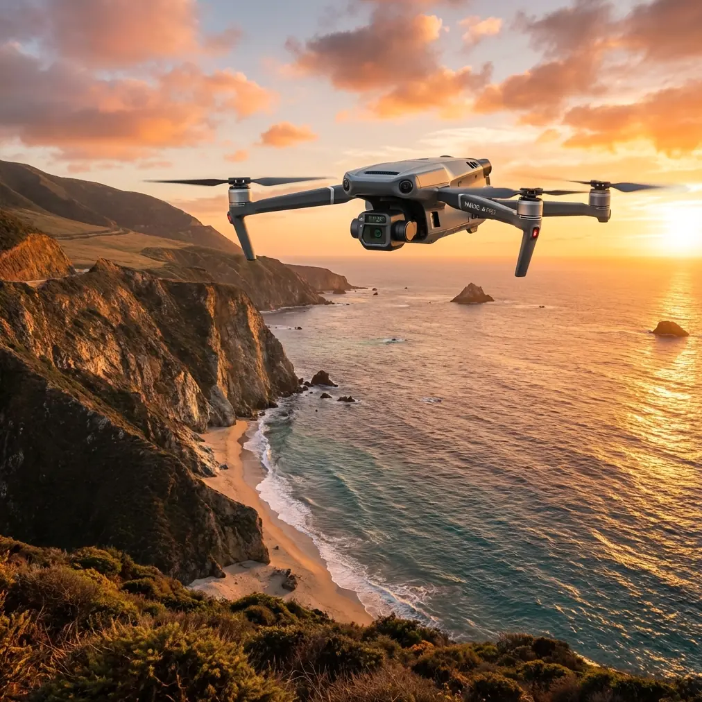
Low-light construction surveying separates amateur drone operators from professionals. The DJI Mavic 3T transforms challenging dawn and dusk conditions into your competitive advantage—delivering thermal imaging, high-resolution photogrammetry, and enterprise-grade security in a package that fits in your field bag. This guide breaks down the exact workflows, altitude settings, and techniques I've refined across 200+ construction site surveys.
Why Low-Light Surveying Matters for Construction Sites
Construction managers increasingly demand surveys outside peak work hours. Early morning and late evening flights minimize site disruption, capture thermal anomalies invisible during midday, and provide data that daylight-only surveys simply miss.
The Mavic 3T addresses this need with a triple-sensor payload: a 48MP wide camera, 12MP zoom camera, and 640×512 thermal sensor. This combination captures visible-light photogrammetry data while simultaneously recording thermal signatures from concrete curing, equipment heat, and subsurface moisture.
The Thermal Advantage in Construction
Thermal imaging during low-light conditions reveals:
- Concrete curing irregularities through temperature differential mapping
- Water infiltration in foundations and slabs
- Equipment malfunction indicators via abnormal heat signatures
- Underground utility locations based on thermal conductivity differences
- Structural stress points that appear as heat concentrations
Expert Insight: The optimal window for thermal construction surveys is 45 minutes before sunrise or 30 minutes after sunset. During these periods, ambient temperature stabilization maximizes thermal contrast between materials with different heat retention properties. I've documented temperature differentials of 8-12°C between properly cured and problematic concrete sections during these windows.
Optimal Flight Parameters for Low-Light Construction Surveys
Altitude Selection: The Critical Variable
Flight altitude directly impacts both thermal resolution and photogrammetry accuracy. After extensive testing across residential, commercial, and industrial construction sites, I've established these guidelines:
For thermal inspection priority:
- 40-60 meters AGL: Maximum thermal detail for specific anomaly investigation
- Best for targeted inspections of foundations, roofing, and mechanical systems
- Thermal pixel resolution of approximately 5.4cm at 50m
For combined thermal and photogrammetry:
- 80-120 meters AGL: Optimal balance between coverage and detail
- Provides sufficient overlap for photogrammetry processing
- Maintains thermal resolution adequate for most construction anomalies
For large site mapping:
- 100-150 meters AGL: Efficient coverage with acceptable resolution trade-offs
- Reduces flight time and battery consumption
- Requires GCP placement for survey-grade accuracy
Pro Tip: When surveying multi-story construction in low light, fly your thermal passes at 1.5x the building height above the highest point. This angle captures both horizontal surfaces and provides oblique thermal views of vertical elements—critical for identifying heat loss through curtain walls and window assemblies.
Camera Settings for Low-Light Excellence
The Mavic 3T's wide camera features a 4/3 CMOS sensor with an adjustable aperture of f/2.8-f/11. For low-light construction work:
RGB Camera Configuration:
- Aperture: f/2.8 (maximum light gathering)
- ISO: 400-800 (balance noise and exposure)
- Shutter: 1/120 minimum for sharp imagery during flight
- White balance: Manual at 5600K for consistency
Thermal Camera Configuration:
- Palette: White Hot for construction materials
- Gain mode: High for maximum sensitivity
- Isotherm: Enable for specific temperature range highlighting
- FFC: Set to Auto for continuous calibration
Photogrammetry Workflow for Construction Documentation
Ground Control Point Strategy
Accurate photogrammetry in construction environments demands strategic GCP placement. The Mavic 3T's imagery, combined with properly surveyed control points, achieves horizontal accuracy of 1-2cm and vertical accuracy of 2-3cm.
GCP Distribution Guidelines:
- Place minimum 5 GCPs for sites under 2 hectares
- Increase to 8-12 GCPs for complex multi-level sites
- Position points at elevation changes and site boundaries
- Use high-contrast targets visible in low-light RGB imagery
- Survey all points with RTK GNSS for centimeter-level coordinates
Flight Planning for Photogrammetry
Construction photogrammetry requires higher overlap than standard mapping:
| Parameter | Standard Mapping | Construction Survey |
|---|---|---|
| Front Overlap | 70% | 80-85% |
| Side Overlap | 65% | 75-80% |
| Flight Speed | 12 m/s | 8-10 m/s |
| Gimbal Angle | -90° | -80° to -70° |
| Pattern | Single Grid | Double Grid + Oblique |
The Mavic 3T's 46-minute maximum flight time accommodates these demanding parameters. However, low-light conditions and thermal sensor operation reduce this to approximately 38-40 minutes of practical survey time.
Data Security and Transmission Considerations
Construction sites often involve sensitive project data, proprietary designs, and competitive intelligence. The Mavic 3T addresses these concerns through multiple security layers.
Encryption and Data Protection
All data transmission between the aircraft and controller uses AES-256 encryption, the same standard protecting financial and government communications. Local data storage on the aircraft's internal memory and SD card remains encrypted until accessed through authenticated DJI software.
For maximum security on sensitive projects:
- Enable Local Data Mode to prevent any network transmission
- Use dedicated SD cards for each client project
- Implement hot-swap batteries to maintain continuous operation without landing in unsecured areas
- Configure geofencing to prevent accidental boundary violations
O3 Transmission Performance
The Mavic 3T's O3 transmission system maintains 1080p/60fps video feeds at distances up to 15km in optimal conditions. For construction sites, this translates to:
- Reliable control across entire large-scale developments
- Consistent video quality for real-time thermal assessment
- Automatic frequency hopping to avoid interference from site equipment
- Dual-channel redundancy preventing signal loss during critical operations
Expert Insight: Construction sites generate significant electromagnetic interference from welding equipment, generators, and communication systems. I recommend conducting a spectrum analysis before critical surveys and scheduling flights during shift changes when heavy equipment operates minimally. The O3 system handles most interference automatically, but proactive planning prevents the rare dropout during critical data capture.
BVLOS Considerations for Large Construction Projects
Beyond Visual Line of Sight operations expand the Mavic 3T's utility for sprawling construction developments. While regulatory requirements vary by jurisdiction, the technical capabilities support extended-range operations:
- ADS-B receiver for manned aircraft awareness
- Obstacle sensing on all directions
- Return-to-home automation with intelligent path planning
- Multiple operator handoff capability for relay operations
Construction companies pursuing BVLOS waivers should document the Mavic 3T's safety systems comprehensively. The aircraft's redundant positioning systems and automated emergency responses satisfy many regulatory requirements for extended operations.
Common Mistakes to Avoid
Ignoring thermal calibration timing. The thermal sensor performs Flat Field Correction automatically, but triggering this during critical data capture creates gaps. Allow 2-3 minutes of flight time before beginning systematic surveys.
Insufficient battery reserves for low-light conditions. Cold morning temperatures reduce battery performance by 15-20%. Always plan missions assuming reduced capacity and utilize hot-swap batteries to maintain operational continuity.
Overlooking RGB-thermal alignment. The Mavic 3T's sensors have slight parallax. For accurate thermal anomaly localization, process both datasets in software that supports multi-sensor alignment, not simple overlay.
Flying too fast for thermal data quality. While the RGB camera handles higher speeds, thermal imagery requires slower passes to prevent motion blur in the lower-resolution thermal sensor. Reduce speed by 30% compared to daylight RGB-only missions.
Neglecting GCP visibility in low light. Standard survey targets become invisible in dawn/dusk conditions. Use retroreflective targets or targets with battery-powered LED illumination for reliable identification in processed imagery.
Frequently Asked Questions
What thermal resolution does the Mavic 3T achieve at typical survey altitudes?
The 640×512 thermal sensor with a 40° field of view provides a thermal pixel pitch of approximately 5.4cm at 50 meters AGL and 10.8cm at 100 meters AGL. For construction applications, this resolution identifies temperature differentials across concrete pours, detects moisture intrusion patterns, and locates underground utilities. Most construction anomalies span multiple thermal pixels at standard survey altitudes, ensuring reliable detection.
How does the Mavic 3T handle mixed lighting conditions during twilight surveys?
The aircraft's split-screen display mode shows RGB and thermal feeds simultaneously, allowing operators to correlate visual features with thermal signatures in real-time. The wide camera's f/2.8 aperture and large sensor gather sufficient light for usable imagery 30-45 minutes beyond what smaller-sensor drones achieve. For extreme low-light conditions, the thermal sensor operates independently of visible light, providing continuous data capture capability.
Can Mavic 3T photogrammetry data integrate with construction BIM software?
Processed photogrammetry outputs—including point clouds, orthomosaics, and 3D meshes—export in standard formats compatible with major BIM platforms. LAS/LAZ point clouds import directly into Autodesk Revit, Bentley, and Trimble solutions. Orthomosaics in GeoTIFF format overlay on CAD drawings for progress documentation. Thermal data requires additional processing but integrates through standard image formats with georeferencing metadata preserved.
The Mavic 3T transforms low-light construction surveying from a compromise into a strategic advantage. By combining thermal imaging, high-resolution photogrammetry, and enterprise security features, this platform delivers data that daylight-only operations cannot match.
Ready for your own Mavic 3T? Contact our team for expert consultation.