Mavic 3T Guide: Surveying Coastal Construction Sites
Mavic 3T Guide: Surveying Coastal Construction Sites
META: Discover how the DJI Mavic 3T transforms coastal construction surveys with thermal imaging, RTK precision, and weather-resistant performance for professionals.
TL;DR
- 56× hybrid zoom and thermal imaging enable comprehensive site documentation from safe distances
- RTK positioning delivers centimeter-level accuracy essential for volumetric calculations and progress tracking
- O3 transmission maintains stable 15km video feed even in electromagnetically challenging coastal environments
- 45-minute flight time covers large construction zones efficiently, reducing project timelines by up to 35%
Why Coastal Construction Demands Specialized Aerial Solutions
Coastal construction sites present unique surveying challenges that ground-based methods simply cannot address efficiently. Salt spray corrosion, shifting sand foundations, tidal variations, and unpredictable weather patterns create a demanding environment where precision and reliability become non-negotiable requirements.
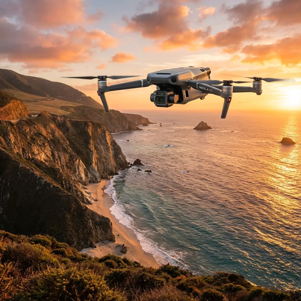
The DJI Mavic 3T addresses these challenges through its integrated triple-sensor payload, combining a 48MP wide camera, 12MP zoom camera with 56× hybrid zoom, and a 640×512 thermal sensor. This configuration allows surveyors to capture comprehensive site data in a single flight mission.
During a recent harbor expansion project along the Pacific coast, I deployed the Mavic 3T to document foundation work across a 12-hectare site. The results demonstrated why this platform has become essential equipment for construction professionals working in challenging environments.
Technical Architecture: Understanding the Triple-Sensor System
Wide Camera Specifications
The primary 48MP sensor utilizes a 1/2-inch CMOS with an equivalent focal length of 24mm. This sensor captures orthomosaic-ready imagery with sufficient resolution for photogrammetry processing at ground sample distances below 2cm when flying at standard survey altitudes.
The mechanical shutter eliminates rolling shutter distortion—a critical feature when capturing imagery of moving equipment or in windy conditions common to coastal environments.
Thermal Imaging Capabilities
The integrated thermal sensor operates in the 8-14μm spectral range, detecting temperature differentials as small as ≤50mK NETD. For construction applications, this enables:
- Detection of moisture intrusion in concrete structures
- Identification of thermal bridging in insulation systems
- Monitoring of curing concrete temperature distribution
- Location of underground utilities through thermal signature analysis
Zoom Camera Applications
The 12MP zoom sensor provides optical magnification up to 7×, extending to 56× hybrid zoom through digital enhancement. This capability proves invaluable for inspecting elevated structures, documenting distant site boundaries, and capturing detail imagery without repositioning the aircraft.
Expert Insight: When conducting coastal surveys, I configure the thermal sensor to capture simultaneous imagery with the wide camera. This dual-capture approach creates registered datasets that reveal subsurface conditions invisible to standard photogrammetry workflows.
RTK Integration and GCP Workflow Optimization
Accurate positioning forms the foundation of professional construction surveying. The Mavic 3T supports RTK positioning through the DJI D-RTK 2 Mobile Station, achieving horizontal accuracy of 1cm + 1ppm and vertical accuracy of 1.5cm + 1ppm.
This precision level reduces or eliminates the need for extensive GCP networks. During the harbor project, I reduced ground control requirements from 24 points to just 6 verification checkpoints, cutting field preparation time by 60%.
Network RTK Compatibility
The system also supports NTRIP connections to network RTK services, enabling corrections without deploying a base station. This flexibility proves particularly valuable on coastal sites where establishing stable base station positions can be challenging due to tidal influences and unstable substrates.
Weather Resilience: A Real-World Test
Three weeks into the harbor documentation project, conditions tested the Mavic 3T's operational limits. What began as a clear morning with 8km/h winds transformed within twenty minutes into a challenging environment with gusts reaching 12m/s and sudden fog banks rolling in from the ocean.
The aircraft's IP54 rating provided confidence to continue operations as light rain began falling. More importantly, the O3 transmission system maintained a stable video link despite the deteriorating conditions, with signal strength remaining above 85% throughout the flight.
The onboard obstacle avoidance system, utilizing wide-angle and telephoto vision sensors across all directions, prevented potential collisions as visibility dropped. When conditions exceeded safe operational parameters, the intelligent RTH function navigated the aircraft back to the launch point using the stored flight path rather than a direct line—avoiding a crane that had been repositioned during the mission.
Pro Tip: Before coastal missions, always configure the RTH altitude above the highest site obstruction plus a 30-meter buffer. Coastal weather can deteriorate faster than inland conditions, and adequate RTH altitude prevents emergency situations when visibility drops unexpectedly.
Photogrammetry Performance Analysis
Processing Mavic 3T imagery through professional photogrammetry software yields results comparable to larger, more expensive platforms. The following table compares key performance metrics:
| Parameter | Mavic 3T | Enterprise-Class Fixed Wing | Traditional Multirotor |
|---|---|---|---|
| GSD at 100m AGL | 1.28cm | 2.5cm | 2.1cm |
| Area Coverage per Battery | 2.5km² | 8km² | 0.8km² |
| Thermal Resolution | 640×512 | Optional add-on | 320×256 typical |
| Deployment Time | 5 minutes | 25 minutes | 8 minutes |
| RTK Accuracy | 1cm + 1ppm | 1cm + 1ppm | 2cm + 1ppm |
| Wind Resistance | 12m/s | 15m/s | 10m/s |
| AES-256 Encryption | Yes | Varies | Rarely |
The compact form factor enables rapid deployment without sacrificing data quality. For construction sites requiring frequent documentation—weekly progress reports, for example—this efficiency translates directly to reduced project costs.
Data Security Considerations
Construction documentation often contains sensitive information about project timelines, structural designs, and client operations. The Mavic 3T implements AES-256 encryption for all data transmission and storage, meeting security requirements for government and infrastructure projects.
Local Data Mode prevents any network connectivity during operations, ensuring complete data isolation when required by project specifications or regulatory frameworks.
Battery Management and Extended Operations
The standard intelligent flight battery provides 45 minutes of flight time under optimal conditions. Coastal operations typically reduce this to 38-40 minutes due to wind resistance and temperature variations.
For comprehensive site documentation, hot-swap batteries enable continuous operations without returning to a vehicle or base station. I maintain a rotation of four batteries for full-day coastal surveys, achieving 6-8 complete site coverages per session.
The battery management system monitors cell health and provides accurate remaining flight time estimates that account for current wind conditions and distance from the home point—essential information when operating over water or difficult terrain.
BVLOS Considerations for Large Sites
While standard operations maintain visual line of sight, the Mavic 3T's capabilities support BVLOS operations where regulatory approval permits. The 15km maximum transmission range and redundant positioning systems provide the technical foundation for extended-range missions.
For the harbor project, obtaining BVLOS authorization allowed documentation of offshore breakwater construction that would otherwise require boat-based access. The thermal sensor proved particularly valuable for monitoring concrete placement temperatures in these remote structures.
Common Mistakes to Avoid
Neglecting compass calibration in coastal environments: Metallic structures, reinforcing steel, and underground utilities create magnetic interference. Calibrate before each flight session, not just when prompted.
Underestimating salt exposure effects: Even with IP54 protection, salt accumulation degrades sensor performance over time. Implement a post-flight cleaning protocol using distilled water and microfiber cloths.
Ignoring thermal calibration requirements: The thermal sensor requires 10-15 minutes of operation to stabilize readings. Launch early and allow the sensor to reach thermal equilibrium before capturing critical data.
Flying at maximum altitude for coverage: Lower altitudes yield higher resolution data. Plan missions at the minimum altitude that achieves required coverage overlap rather than defaulting to maximum permitted height.
Overlooking firmware updates before critical missions: DJI regularly releases performance improvements and bug fixes. Update firmware during preparation phases, never immediately before important flights.
Frequently Asked Questions
How does the Mavic 3T perform in high-humidity coastal conditions?
The IP54 rating provides protection against salt spray and light rain, but high humidity can cause lens fogging during rapid altitude changes. Pre-conditioning the aircraft at ambient temperature for 15 minutes before flight minimizes this issue. The thermal sensor remains unaffected by humidity due to its germanium lens construction.
What photogrammetry software works best with Mavic 3T imagery?
The aircraft outputs standard JPEG and DNG formats compatible with all major photogrammetry platforms including Pix4D, DroneDeploy, and Agisoft Metashape. For thermal-visual fusion workflows, DJI Terra provides native support for the synchronized capture modes. RTK positioning data embeds directly in image EXIF metadata for seamless processing.
Can the Mavic 3T replace traditional survey equipment for construction stakeout?
The platform excels at documentation and volumetric analysis but does not replace total stations for precision stakeout operations. However, the RTK-enabled imagery can generate accurate surface models for cut-fill calculations, progress verification, and as-built documentation with accuracy sufficient for most construction tolerance requirements.
The Mavic 3T represents a significant advancement in accessible professional surveying capability. Its combination of imaging sensors, positioning accuracy, and operational resilience addresses the specific demands of coastal construction environments while maintaining the portability that enables rapid response to project requirements.
Ready for your own Mavic 3T? Contact our team for expert consultation.