Mavic 3T Surveying Tips for Remote Fields
Mavic 3T Surveying Tips for Remote Fields: A Case Study From the Edge of Coverage
META: A field-tested Mavic 3T case study for remote agricultural surveying, covering thermal signature work, O3 transmission limits, GCP strategy, battery planning, and secure data handling.
A few seasons ago, I was asked to help document drainage failure across a spread of remote fields where the road access was poor, mobile signal was inconsistent, and the client needed something more useful than a set of pretty aerial photos. They wanted actionable maps. Wet patches had to be separated from healthy ground. Heat stress had to be spotted early. Boundary ambiguity needed to be reduced before machinery went in. And because the site was remote, every wasted battery cycle meant time lost to travel rather than data collection.
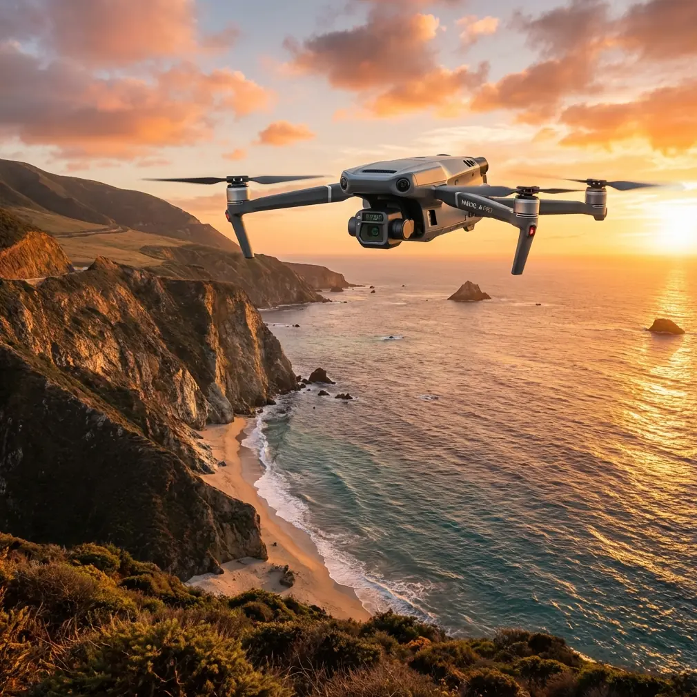
That kind of assignment is exactly where the DJI Mavic 3T earns its keep.
Not because it is the biggest aircraft in the toolbox. It is not. And not because it replaces a dedicated fixed-wing photogrammetry platform on every large-area job. It does not. The reason the Mavic 3T matters in remote field surveying is simpler: it compresses several critical workflows into one aircraft that can be deployed fast, flown safely, and trusted when conditions are less than ideal.
For anyone surveying fields far from infrastructure, that combination changes the day.
The Problem Remote Fields Create
Remote agricultural sites look easy on paper. Large open spaces. Few buildings. Clear lines of sight. In practice, they introduce a mess of operational friction.
You may be hiking gear over uneven ground. You may be launching from field margins with no reliable staging area. You may be working in early morning cold, then crossing into midday heat. You may need visual imagery for orthomosaics, thermal passes for irrigation diagnosis, and close inspection around culverts or drainage channels before leaving site. If the aircraft setup is clumsy, or the payload strategy requires multiple systems, small inefficiencies stack up fast.
That was the challenge I ran into on one particular job. The farm manager suspected that a recurring yield issue was tied to hidden moisture movement under the surface. Standard RGB imagery showed the obvious: wheel tracks, patchy growth, a few visible low spots. What it did not show cleanly was where temperature variation aligned with the suspected drainage path. Walking the site helped, but only in fragments. The fields were too large and the clues too scattered.
The Mavic 3T changed the workflow because it let us pair thermal signature analysis with visible-light capture in a single, compact field routine.
Why the Thermal Piece Matters More Than Many Surveyors Admit
A lot of people still treat thermal as a specialist add-on rather than a practical layer in agricultural survey work. That is a mistake, especially in remote fields where the cost of a return visit can outweigh the cost of collecting one more dataset while you are already on site.
With the Mavic 3T, the thermal payload is not just for firefighting, search operations, or infrastructure checks. In agricultural environments, it can reveal patterns that standard imagery hides in plain sight. Surface temperature shifts can indicate pooled water, uneven drying, blocked drainage, stressed vegetation, or damaged irrigation performance. None of those issues should be interpreted from thermal imagery alone, but as a comparative layer, the data is often the difference between “something looks off” and “we know where to investigate first.”
On that drainage job, the thermal pass did not magically diagnose the entire field. That is not how professional surveying works. What it did do was narrow the field problem into a series of zones. We could see cooler, moisture-retaining streaks crossing an area that appeared only mildly irregular in RGB. That mattered operationally because it gave the agronomist and ground crew a more disciplined inspection plan. Instead of walking broad sections of land and hoping to find the pattern, they focused on the specific corridors where temperature variation aligned with poor surface performance.
That is the sort of practical gain that saves hours.
O3 Transmission Is Not a Spec-Sheet Footnote
When people discuss remote work, they tend to jump straight to endurance. Battery life matters, of course, but link stability matters just as much. The Mavic 3T uses O3 transmission, and in field conditions that has real value.
I have worked sites where the issue was not total loss of control range but signal inconsistency caused by terrain undulation, tree lines, and awkward launch positions. Even in open farmland, “open” does not always mean simple. Slight elevation changes can interrupt your comfort level long before they interrupt the aircraft. A stable transmission system gives the pilot more confidence to fly deliberate, repeatable lines instead of creeping through the mission second-guessing every turn.
That confidence improves data quality. You fly the plan you designed, not a compromised version shaped by unnecessary caution.
There is also a safety dimension here. Remote field work tempts people to stretch operations because the airspace often feels empty. It is easy to hear the term BVLOS thrown around casually in these conversations, but distance should never outrun legal authority, site procedures, or operational discipline. A strong transmission link is valuable, but it is not permission to ignore the rule set you are operating under. In professional survey work, reliability is not about taking liberties. It is about preserving margin.
The Overlooked Value of AES-256 in Agricultural Survey Work
Security rarely gets top billing in farm drone conversations, yet it should be part of serious planning. The Mavic 3T’s AES-256 capability is relevant because field surveys increasingly involve sensitive operational data: crop performance patterns, irrigation layouts, access roads, storage zones, and infrastructure condition.
For some clients, that data is simply commercially sensitive. For others, especially larger agricultural operators or contractors managing multiple sites, it becomes part of a wider compliance and risk picture. Secure transmission and disciplined handling of survey files help establish trust with landowners who are already cautious about what gets recorded over their property.
That may sound abstract until you are the one asked how imagery is protected, who can access it, and whether the mission files can be moved securely from field controller to office workflow. Having a credible answer matters. The aircraft is only part of the deliverable. The chain of custody around the data matters too.
GCPs Still Matter, Even With a Smart Aircraft
One of the easiest mistakes in Mavic 3T field surveying is assuming the aircraft’s intelligence removes the need for ground control. It does not.
If your goal is rigorous photogrammetry, GCP placement is still one of the strongest levers you can pull for reliable outputs. In remote fields, that takes planning because access is rarely convenient. You may be covering soft ground, crossing drainage features, or working in areas where the field edges are not cleanly defined.
On that earlier job, the breakthrough came when we stopped treating GCP deployment as a nuisance and started treating it as the backbone of the mapping pass. A small number of well-positioned points did more for output confidence than squeezing in an extra hurried battery cycle. We placed control where the terrain changed character, where access was still realistic, and where visible references would remain clear through the mission.
That decision mattered for two reasons. First, it tightened the geometry of the orthomosaic, which gave the client a better basis for comparing field problem areas against existing plans. Second, it reduced the temptation to over-interpret thermal anomalies without a dependable spatial framework. Thermal data becomes much more useful when it aligns cleanly with a map the client can actually work from.
If your remote-field workflow includes photogrammetry, do not let convenience bully GCP discipline out of the process.
Battery Strategy Makes or Breaks the Day
The reader scenario here is not a tidy urban inspection with a vehicle parked 20 meters from the launch point. It is remote field surveying. That means battery logistics become tactical.
The Mavic 3T rewards crews who think ahead. Hot-swap batteries are not just a comfort feature in these jobs; they keep momentum intact when weather windows are narrow or when you need to capture thermal data during a specific temperature period, such as early morning before surface heating muddies the contrast. Lose that window and you may not get the same diagnostic value later in the day.
I learned this the hard way on an earlier project with a different platform. We had the right aircraft, the right site access, and the wrong pacing. By the time we were ready for the second pass, the environmental conditions had shifted enough to weaken the thermal interpretation. That was not a sensor problem. It was an operational planning problem.
With the Mavic 3T, I now build battery usage around data priority, not simple area coverage. If thermal is likely to produce the highest-value insight, that mission comes first. If RGB mapping is the legal or contractual baseline, I make sure the flight plan and control setup support it before chasing supplementary captures. Sequence matters more than people think.
A Better Remote-Field Workflow With One Aircraft
The reason this platform keeps showing up in serious field conversations is not just that it can do several things. It is that it can do them in an order that suits real agricultural work.
A sensible Mavic 3T remote-field workflow often looks like this:
Start with a quick site assessment and launch-area review. Confirm hazards, signal behavior, and likely interference with line of sight. Set your GCPs if the job requires accurate mapping. Capture thermal while conditions support the clearest contrast. Then run your RGB mission for orthomosaic or inspection detail. Finish with targeted low-altitude passes where the earlier data suggests a problem worth closer examination.
That sequence sounds obvious when written down. In the field, under time pressure, it is surprisingly easy to get wrong.
If you want help shaping a mission plan around your own acreage and data goals, this is the kind of thing worth discussing in advance through a quick field-ops chat on WhatsApp.
What the Mavic 3T Does Not Fix
A professional article should say this plainly: the Mavic 3T does not remove the need for judgment.
It will not replace sound survey design. It will not legalize weak flight practices. It will not turn poor thermal interpretation into agronomic insight. And it will not make bad weather irrelevant. If a field is too large for the aircraft to cover efficiently in the available window, that remains true no matter how capable the platform is.
But that is not a criticism. It is precisely why the Mavic 3T is so useful. It sits in a productive middle ground. Portable enough for difficult access. Capable enough to gather layered intelligence. Fast enough to fit the pace of field decisions. Secure enough for professional workflows. And stable enough, with O3 transmission and disciplined planning, to make remote operations feel controlled rather than improvised.
The Practical Lesson From the Case Study
What that drainage survey taught me was not that one aircraft solves every rural mapping problem. It taught me that the best field tools reduce friction at the points where crews usually lose time and confidence.
In the Mavic 3T’s case, that means combining thermal signature work with visible capture, preserving operational rhythm through efficient battery swaps, supporting dependable control links in awkward rural terrain, and fitting into data workflows where security is not an afterthought. Add well-planned GCP deployment and a realistic understanding of mission limits, and the aircraft becomes more than a compact drone with a thermal sensor. It becomes a field instrument.
That distinction matters.
A drone that produces images is easy to find. A drone that helps you leave a remote site with evidence you can defend, interpret, and act on is something else entirely. For surveyors, agronomists, land managers, and contractors working across isolated fields, that is where the Mavic 3T proves itself.
Ready for your own Mavic 3T? Contact our team for expert consultation.