Mavic 3T in Windy Field Surveys: What Redundancy
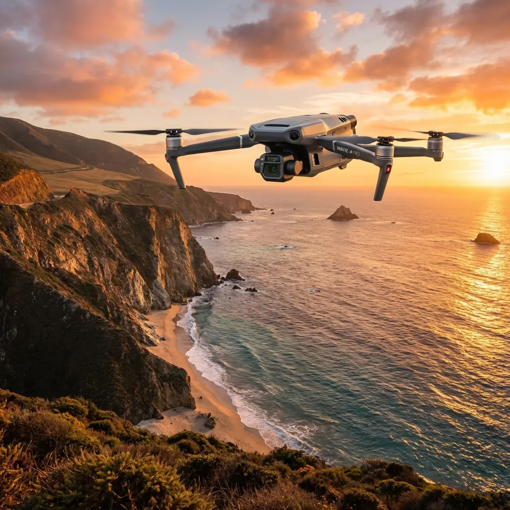
Mavic 3T in Windy Field Surveys: What Redundancy and Structural Thinking Actually Mean on the Job
META: A field-focused Mavic 3T article for windy survey work, connecting redundancy, warning logic, thermal workflows, EMI handling, and structural design principles to safer, cleaner data capture.
Wind changes everything in field surveying. Not in the abstract, but in the way a pilot reads the aircraft, trusts the telemetry, plans overlap, and reacts when the environment starts working against clean data. If your platform is the Mavic 3T, that reality becomes even sharper because this aircraft often sits at the crossroads of visual inspection, thermal interpretation, and mapping support. It is not just collecting imagery. It is carrying the burden of decisions made later in the office.
For windy agricultural and land-survey missions, the conversation usually stays shallow: flight time, camera payload, range, maybe RTK workflow, maybe thermal signature interpretation. Useful, but incomplete. The more serious question is this: how do you preserve decision-quality data when the aircraft is under aerodynamic stress, the radio environment is noisy, and your mission cannot afford ambiguity?
That is where older aircraft design logic still has real value.
Two reference ideas matter here. First, avionics redundancy: one display failing should not cause the pilot to lose access to critical information. Second, warning systems should not wait until control is already degrading; they must alert early, clearly, and with usable margin. In one of the source references, stall warning is described as needing to begin before the actual stall event, with a margin of at least 5 knots and no more than 10 knots for certain aircraft classes. That number is not directly transplanted onto a Mavic 3T mission, but the principle is gold for drone fieldwork: useful warning comes before the aircraft becomes difficult to manage, not after.
That sounds obvious until you are flying low over a windy field edge with crosswind shear, trying to maintain line spacing for photogrammetry while watching signal quality fluctuate near irrigation infrastructure or power runs.
The real problem in windy field surveying
When survey teams say “the wind was bad,” they often mean several different failures stacked together.
The aircraft may still fly safely, but yaw corrections become more frequent. Ground track no longer matches the neat geometry designed in the app. Overlap consistency starts drifting, especially on edge passes. Thermal frames become harder to compare because aircraft attitude and speed vary more than intended. If you are using GCP-backed workflows, the control can save your absolute accuracy, but it cannot fully rescue weak image geometry caused by unstable capture conditions.
Then there is electromagnetic interference. In rural settings, people underestimate it. The field itself looks clean, but the survey perimeter may include pump motors, elevated lines, steel-roof structures, solar installations, or communications hardware. A Mavic 3T running on O3 transmission can handle a lot, but not everything is solved by the radio link alone. Antenna orientation, body shielding effects, and pilot position still matter.
The result is a mission that does not fail dramatically. It degrades quietly. And quiet degradation is more dangerous to survey quality than a hard abort, because the team may only discover it when stitching, classifying, or comparing thermal anomalies later.
What redundancy thinking looks like on a Mavic 3T mission
The avionics reference describes a practical design philosophy: if one display fails, the other must still show all required information. That is redundancy serving the operator, not the engineer’s ego. For Mavic 3T fieldwork, the direct operational lesson is to avoid single-point dependence in your situational awareness.
In practice, that means building your mission around at least three independent layers of judgment:
- Primary flight telemetry from the controller
- Live visual behavior of the aircraft in wind, especially during turns and braking
- Mission-quality indicators such as consistency of ground speed, line holding, image timing, and signal integrity
Many pilots overweight the screen and underweight the airframe’s behavior. In wind, the aircraft often tells you first. A Mavic 3T that begins making more aggressive attitude corrections, especially while trying to hold track over open fields, is effectively giving you an early-warning cue. Treat that as your drone equivalent of a pre-limit warning. Don’t wait for a severe deviation, a weak-link alert, or unusable data.
This is also where hot-swap batteries, even as a workflow concept rather than a literal feature on this platform, influence mission discipline. Teams that structure battery changes as clean mission segments generally perform better than those trying to stretch one sortie too far into worsening conditions. Wind compounds battery pressure. Segmenting the work protects overlap consistency and reduces the temptation to “just finish this block” after conditions have already shifted.
Early warning beats post-flight regret
The stall-warning reference is useful not because the Mavic 3T stalls like a manned aircraft in your survey pattern, but because it formalizes something drone operators often ignore: a warning must be clear, early, and actionable.
The source text rejects warnings that are merely visual attention-getters if they are not sufficiently distinct. That has a direct echo in UAV field operations. In wind, a pilot overloaded with map view, camera feed, thermal palette, obstacle context, and battery status can easily miss weak warning signals. Your workflow should therefore elevate only the cues that force a decision.
On a Mavic 3T agricultural survey, those cues usually are:
- repeated heading correction beyond what the route geometry should require,
- transmission instability in a known clean segment,
- speed inconsistency that threatens overlap,
- thermal image blur or perspective inconsistency on preview,
- and aircraft attitude changes that look more aggressive than the telemetry alone suggests.
The point is not paranoia. It is margin.
In manned aircraft logic, the source notes a warning margin of 5 to 10 knots before the critical event for certain classes. The drone equivalent is procedural rather than numeric: establish your own “leave now” threshold before the mission becomes salvageable only in theory. That threshold might be two consecutive line deviations, a repeat EMI fluctuation over the same sector, or an observable deterioration in cross-track hold. Once triggered, pause, reposition, adjust, or split the mission.
Handling electromagnetic interference without turning it into folklore
The brief called for antenna adjustment, and that deserves a practical treatment because EMI discussions in the drone world are often sloppy.
When O3 transmission quality starts fluctuating over a field route, many pilots blame distance first. That is often wrong. In mixed agricultural environments, interference can be directional and localized. A pivot irrigation system, a utility corridor, or reflective steel outbuilding can disturb the link in ways that look random until you test body position and antenna orientation.
Here is the field method I recommend for Mavic 3T teams:
- Stop treating the controller like a fixed object.
- Re-orient your body so your torso is not shielding the antenna plane from the aircraft.
- Adjust the controller antennas to maintain broadside orientation toward the aircraft rather than pointing the tips directly at it.
- If the route repeatedly degrades over the same sector, move the takeoff point laterally and test again before blaming the aircraft.
- Use a short verification leg, not a full rerun, to confirm whether the issue is environmental or geometric.
This matters because BVLOS planning, even when kept within legal and operational frameworks, depends on confidence in link behavior, not just nominal range capability. AES-256 and robust transmission architecture help protect data and link integrity, but encryption does not solve poor antenna geometry. Good field technique does.
If your team needs a quick field checklist for controller positioning and interference triage, I usually share one directly here: message Dr. Lisa Wang’s survey support line.
Structural design principles and why they matter to a small survey drone
The second reference deals with helicopter structural design, specifically heat-affected zones, resin selection, impact resistance, and laminate layup strategy. At first glance, that seems far removed from a Mavic 3T flying over crops or boundary lines. It is not.
One key detail from the source is the use of specialized high-temperature, flame-retardant resin systems in heat-affected areas, including materials such as 5231, KH-304, and LP-15. Another is the recommendation that components exposed to concentrated loads should receive local reinforcement, with enough material aligned with the load direction and additional layers at plus or minus 45 degrees to disperse impact energy. The text even specifies that any given ply angle should generally represent at least 6% to 10% of the laminate. Again, those numbers are from manned-aircraft composite design, not a Mavic repair manual. But the underlying engineering logic is highly relevant.
Why? Because windy field surveying is hard on small aircraft structures in subtle ways.
Not because the Mavic 3T is under extreme load in normal use, but because repeated gust response, rough landings on uneven farm tracks, dust contamination, and transport knocks all accumulate around hinges, landing contact points, folding interfaces, and shell attachments. Survey operators tend to think in batteries and firmware. They should also think in fatigue pathways.
The helicopter design reference also notes that surfaces vulnerable to foreign-object impact should distribute the outer layers in multiple directions and keep adjacent layer-angle differences small to reduce matrix damage and delamination. In plain survey language: if a drone repeatedly works in field environments where grit, stubble, and incidental debris are normal, structural toughness is not cosmetic. It influences long-term platform consistency.
That matters to data quality because a survey aircraft does not need a dramatic crack to become less trustworthy. Slight structural looseness can alter vibration behavior, gimbal isolation consistency, and thermal image interpretability. If you have ever seen a mission where the map still stitched but fine detail looked subtly uneven, you know the problem is not always software.
Building a wind-ready Mavic 3T workflow
A better Mavic 3T field workflow borrows from both references: redundancy in information, and structural respect in operations.
1. Preflight as a margin-setting exercise
Do not just confirm battery and satellites. Define your mission abort or split thresholds before takeoff. If the field is windy, specify what level of track deviation, signal fluctuation, or image inconsistency will trigger a stop. This is your drone version of a meaningful warning margin.
2. Use GCPs to protect the mission, not excuse sloppy capture
Ground control points remain valuable in wind because they preserve reference quality when image geometry is not perfect. But GCPs are not a license to ignore unstable flight behavior. For photogrammetry, image consistency still drives the strength of the model.
3. Treat thermal and mapping as related but not identical jobs
The Mavic 3T’s thermal signature output can reveal irrigation irregularities, drainage patterns, stressed vegetation zones, or heat-retaining surface anomalies. But thermal interpretation in wind is vulnerable to changing angles, changing dwell times, and changing altitude behavior. A route optimized for one thermal question may not be ideal for clean photogrammetry. Separate the objectives if needed.
4. Rehearse EMI response, don’t improvise it
Survey teams should practice antenna adjustment and pilot repositioning on ordinary flights, not only when a live mission is degrading. You want the response to be procedural, not emotional.
5. Inspect the airframe like a survey instrument
A total station with a loose component would never be shrugged off. A field drone deserves the same attitude. Check shell fit, hinge feel, landing contact surfaces, and gimbal steadiness after windy or rough-ground operations.
The operational takeaway
What makes the Mavic 3T effective in windy field surveys is not only the aircraft itself. It is the operator’s ability to think like a systems engineer while flying like a surveyor.
From the avionics reference, the lesson is that warnings must come early enough to preserve options, and information access should survive partial failure. From the structural reference, the lesson is that load paths, heat exposure, and impact resistance are not academic details; they shape whether a platform remains consistent after repeated real-world use.
Put those together and a clearer picture emerges. The best Mavic 3T survey work is not produced by pushing the aircraft to its limits. It is produced by protecting margin, reading subtle cues before they become obvious, and respecting that clean geospatial data depends on stable systems all the way down—from radio link behavior to airframe integrity.
That is the difference between simply completing a windy field mission and coming back with data you can defend.
Ready for your own Mavic 3T? Contact our team for expert consultation.