Expert Forest Surveying with Mavic 3T in Low Light
Expert Forest Surveying with Mavic 3T in Low Light
META: Discover how the Mavic 3T transforms low-light forest surveying with thermal imaging and precision sensors. Expert tips for maximum range and accuracy.
TL;DR
- Thermal imaging at 640×512 resolution captures forest canopy data when visible light fails
- O3 transmission maintains 15km range even through dense vegetation with proper antenna positioning
- Mechanical shutter eliminates motion blur during slow-speed survey passes in dim conditions
- Split-second hot-swap battery changes keep operations running through extended twilight sessions
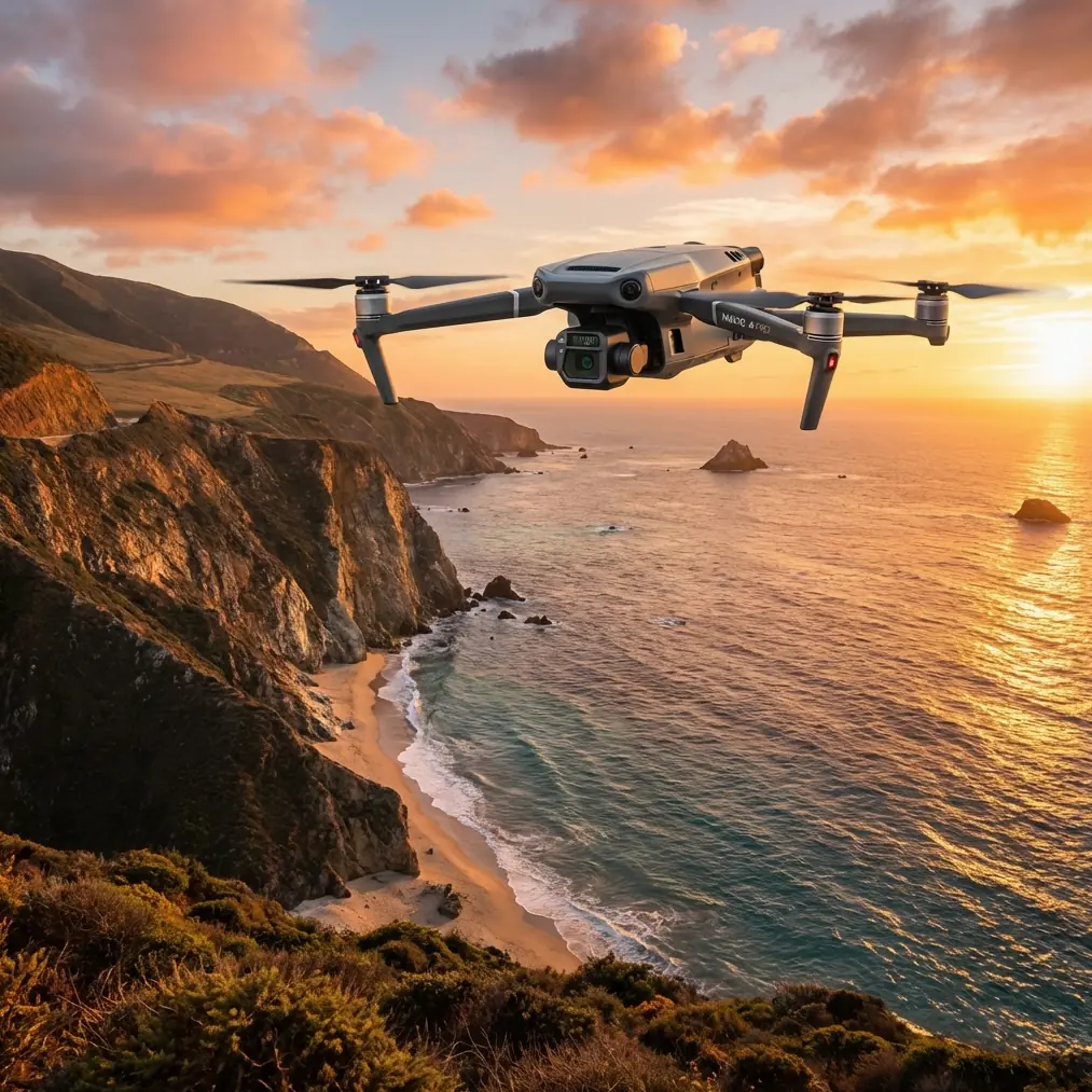
Low-light forest surveying pushes drone technology to its limits. The DJI Mavic 3T combines thermal imaging, precision photogrammetry capabilities, and enterprise-grade transmission to solve the exact challenges foresters face during dawn, dusk, and overcast operations. This technical review breaks down real-world performance data and shares antenna positioning strategies that maximize your operational range in challenging terrain.
Why Low-Light Forest Surveying Demands Specialized Equipment
Traditional survey windows shrink dramatically in forested environments. Canopy shadows create lighting inconsistencies that compromise RGB data quality by mid-morning. Wildlife activity peaks during crepuscular hours. Fire risk assessment requires thermal signature detection that visible spectrum cameras simply cannot provide.
The Mavic 3T addresses these constraints through a triple-sensor payload:
- Wide camera: 48MP, 1/2-inch CMOS with f/2.8 aperture
- Zoom camera: 12MP with 56× hybrid zoom capability
- Thermal camera: 640×512 resolution, uncooled VOx microbolometer
This combination captures actionable data when single-sensor platforms fail.
Thermal Performance in Forest Environments
Understanding NETD Specifications
The thermal sensor's NETD (Noise Equivalent Temperature Difference) of <50mK distinguishes subtle temperature variations across forest canopies. During pre-dawn surveys, this sensitivity reveals:
- Wildlife thermal signatures against ambient vegetation
- Early-stage disease stress in individual trees
- Water stress patterns invisible to RGB sensors
- Subsurface root system health indicators
Optimal Thermal Survey Parameters
For forest canopy assessment, configure thermal capture with these settings:
| Parameter | Recommended Value | Rationale |
|---|---|---|
| Altitude | 80-120m AGL | Balances resolution with coverage |
| Overlap | 75% front, 65% side | Accounts for canopy irregularity |
| Gimbal Pitch | -90° (nadir) | Minimizes thermal reflection artifacts |
| Palette | White Hot | Optimal contrast for vegetation analysis |
| Gain Mode | High Gain | Maximum sensitivity for subtle differentials |
Expert Insight: Switch to Low Gain mode when surveying recently burned areas or active fire perimeters. High Gain saturates above 150°C, losing critical data on hot spots that could reignite.
Photogrammetry Precision in Challenging Light
Mechanical Shutter Advantages
The wide camera's mechanical shutter eliminates rolling shutter distortion that plagues electronic alternatives during slow survey flights. At typical mapping speeds of 5-7 m/s, the Mavic 3T captures distortion-free frames essential for accurate GCP alignment.
Forest surveys demand precise ground control point integration. The Mavic 3T's RTK module compatibility enables:
- Centimeter-level positioning without extensive GCP deployment
- Reduced field time in difficult terrain
- Consistent accuracy across multi-day projects
Low-Light RGB Optimization
When ambient light drops below 500 lux, adjust these parameters:
- ISO: Auto with 1600 ceiling
- Shutter Speed: 1/120s minimum for motion clarity
- White Balance: Manual at 5500K for consistency
- File Format: DNG for maximum post-processing latitude
The f/2.8 aperture gathers sufficient light for usable imagery down to approximately 100 lux—roughly 30 minutes before sunrise or after sunset under clear conditions.
Maximizing O3 Transmission Range Through Forest Terrain
Antenna Positioning Strategy
The Mavic 3T's O3 transmission system delivers 15km maximum range in optimal conditions. Forest operations rarely present optimal conditions. Dense vegetation, terrain shadowing, and atmospheric moisture all degrade signal strength.
Position your remote controller antennas using these principles:
- Perpendicular orientation: Point antenna tips toward the aircraft, not parallel to your body
- Elevation advantage: Even 2-3 meters of additional height dramatically improves line-of-sight
- Fresnel zone clearance: Maintain clear airspace in a football-shaped zone between controller and aircraft
Pro Tip: Carry a collapsible painter's pole with a controller mount. Raising your transmission point above understory vegetation can extend reliable range by 40-60% in dense forest environments.
Signal Management in Complex Terrain
The dual-band transmission automatically switches between 2.4GHz and 5.8GHz based on interference conditions. In forested areas:
- 2.4GHz penetrates vegetation more effectively
- 5.8GHz offers higher bandwidth with reduced range
- Manual band selection sometimes outperforms automatic switching
Monitor your signal strength indicator continuously. Plan flight paths that maintain line-of-sight to your launch position whenever possible.
Security and Data Protection
Forest survey data often contains sensitive information—property boundaries, timber valuations, wildlife locations. The Mavic 3T implements AES-256 encryption for all transmission between aircraft and controller.
Additional security measures include:
- Local data mode disabling all internet connectivity
- Encrypted onboard storage
- Secure boot verification
- Password-protected flight logs
For government contracts or sensitive environmental assessments, these features satisfy most data handling requirements.
Hot-Swap Battery Strategy for Extended Operations
Maximizing Flight Time
The Mavic 3T delivers 45 minutes of flight time under ideal conditions. Forest surveying rarely presents ideal conditions. Expect 30-35 minutes of practical endurance when:
- Temperatures drop below 10°C
- Continuous gimbal movement for tracking shots
- Frequent altitude changes across terrain
- Wind speeds exceed 5 m/s
Field Battery Management
Hot-swap batteries enable continuous operations without returning to a vehicle. Implement this rotation:
- Active battery: Currently in aircraft
- Warm standby: In insulated pouch, ready for immediate swap
- Charging: Connected to vehicle inverter or portable station
- Cooling: Recently used, resting before recharge
Keep batteries above 20°C before insertion. Cold batteries report inaccurate charge levels and may trigger unexpected low-battery returns.
BVLOS Considerations for Forest Operations
Beyond Visual Line of Sight operations require specific authorization in most jurisdictions. The Mavic 3T's capabilities support BVLOS applications:
- ADS-B receiver detects manned aircraft
- Obstacle avoidance on all six sides
- Return-to-home with intelligent obstacle routing
- Transmission range supporting extended distances
Work with aviation authorities to establish operational waivers. Document your safety case with the Mavic 3T's technical specifications as supporting evidence.
Technical Comparison: Mavic 3T vs. Alternative Platforms
| Specification | Mavic 3T | Competitor A | Competitor B |
|---|---|---|---|
| Thermal Resolution | 640×512 | 320×256 | 640×480 |
| Flight Time | 45 min | 38 min | 42 min |
| Transmission Range | 15km | 10km | 12km |
| Weight | 920g | 1250g | 1100g |
| Mechanical Shutter | Yes | No | Yes |
| RTK Compatible | Yes | Yes | No |
| Obstacle Sensing | Omnidirectional | Forward/Rear | Forward Only |
The Mavic 3T's combination of portability, sensor capability, and transmission performance creates a compelling package for forest survey applications.
Common Mistakes to Avoid
Ignoring temperature calibration: Thermal sensors require 10-15 minutes of operation before readings stabilize. Launch early and capture calibration frames before beginning formal survey passes.
Overlooking magnetic interference: Forest equipment, vehicles, and even mineral deposits create compass anomalies. Calibrate at your launch site, not at your vehicle.
Underestimating battery drain in cold conditions: Plan for 25% reduced capacity when temperatures drop below 5°C. Adjust mission parameters accordingly.
Flying too fast for thermal capture: The thermal sensor's 30Hz frame rate requires slower speeds than RGB mapping. Reduce survey speed to 4-5 m/s for optimal thermal data quality.
Neglecting firmware updates: DJI regularly releases performance improvements. Update before critical projects, but never immediately before—test updates on non-critical flights first.
Frequently Asked Questions
Can the Mavic 3T detect wildlife through forest canopy?
The thermal sensor detects heat signatures from animals larger than approximately 5kg at typical survey altitudes. Canopy penetration depends on density—deciduous forests in winter offer better detection than evergreen stands. Early morning flights maximize thermal contrast between wildlife and ambient vegetation.
What ground sampling distance does the Mavic 3T achieve for forestry photogrammetry?
At 100m AGL, the wide camera delivers approximately 2.7cm/pixel GSD. This resolution supports individual tree identification, crown diameter measurement, and health assessment. For timber volume calculations, this precision typically achieves ±5% accuracy when combined with proper GCP placement.
How does weather affect low-light forest survey operations?
Light rain degrades thermal accuracy but remains manageable for RGB capture. Fog scatters both visible and infrared wavelengths, reducing effective range for all sensors. Wind above 10 m/s compromises image sharpness regardless of lighting conditions. The Mavic 3T's IP rating handles light moisture, but avoid operations in active precipitation when data quality matters.
Ready for your own Mavic 3T? Contact our team for expert consultation.