Mavic 3T for Coastal Forest Surveys: A Practical Workflow
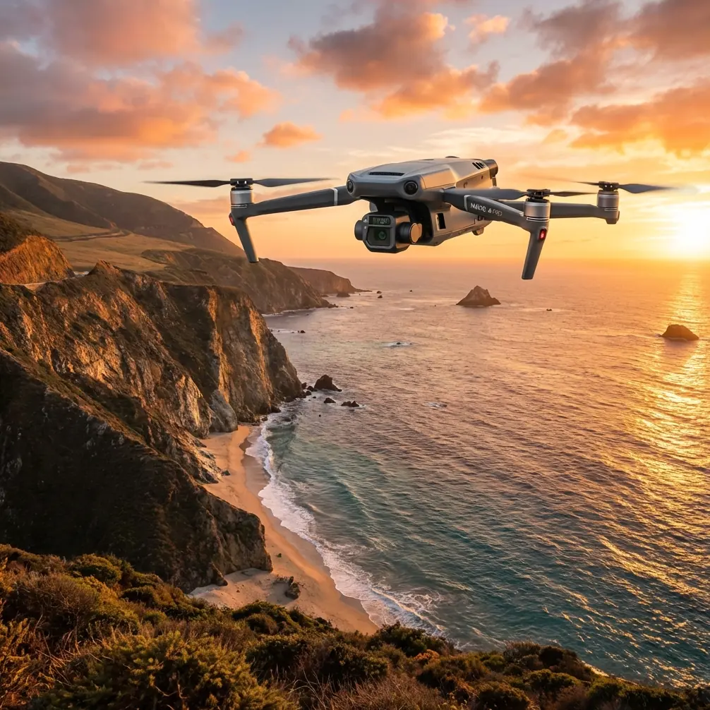
Mavic 3T for Coastal Forest Surveys: A Practical Workflow That Turns Flights Into Usable Site Intelligence
META: Expert tutorial on using Mavic 3T for coastal forest surveying, with practical advice on thermal interpretation, antenna positioning, cloud mapping outputs, drainage analysis, elevation review, and field collaboration.
Coastal forest surveying has a nasty habit of exposing weak workflows.
Dense canopy blocks ground visibility. Salt air punishes equipment. Drainage patterns shift after weather events. Teams are often spread across different locations, which means even when the aircraft performs well, the real bottleneck becomes interpretation and coordination. That is why the Mavic 3T matters less as a flying camera and more as the front end of a complete information pipeline.
If you are surveying coastal woodland, marsh-edge timber, access tracks, retention zones, or development interfaces, the aircraft alone is not the story. The story is what happens after the flight: how quickly you can produce accurate map products, how well remote teams can read them, and whether those outputs support real site decisions.
That is where the reference material points to something useful. One documented workflow built around DJI aircraft and DroneDeploy produced four distinct deliverables from a single project stream: lossless imagery, a digital elevation model, a high-resolution orthomosaic, and an interactive zoomable 3D reconstruction of the full site. For anyone using a Mavic 3T in coastal forests, those four outputs form a practical backbone.
Why this matters specifically in coastal forests
A coastal site is rarely just “trees.”
You are usually dealing with drainage ditches, low-lying terrain, erosion-sensitive boundaries, service roads, standing water, and vegetation transitions that affect access and planning. In these conditions, standard visual inspection misses too much. A Mavic 3T adds thermal awareness, but thermal images by themselves do not answer bigger survey questions. You still need structure, elevation, and map-grade context.
That is why the combination of orthomosaic + DEM + 3D model + field imagery is so effective.
- The orthomosaic gives you a corrected overhead view for tracing access paths, canopy gaps, edge conditions, and work zones.
- The digital elevation model helps you read slope, water flow tendencies, berms, ditch lines, and low spots that can turn into recurring drainage problems.
- The interactive 3D model lets stakeholders inspect terrain and vegetation structure more intuitively than a flat map.
- Lossless imagery preserves visual detail for later review when subtle site changes matter.
This is not abstract value. The source material describes teams using precise maps and 3D models to analyze project progress, calculate stockpile volume, and evaluate elevation models, while also communicating on mobile devices directly against the map. Translate that into a coastal forest context and the operational significance becomes obvious: you can track clearing boundaries, estimate biomass or soil movement in staging areas, verify drainage interventions, and discuss exact problem points without everyone being physically on site.
The best way to think about the Mavic 3T on this kind of mission
The Mavic 3T is strongest when you assign each sensor and output a clear job.
Do not send it up with a vague goal like “check the forest.” Build the mission around questions.
For example:
- Where is water collecting after tide influence or heavy rain?
- Are drainage channels still functioning?
- Has vegetation encroached into planned access lanes?
- Are there temperature anomalies around equipment, retained water, or exposed ground?
- Do remote planners need a 3D site model or just annotated imagery?
Once the questions are clear, your flight settings and post-processing choices become much better.
A practical coastal forest workflow with the Mavic 3T
1. Start with a visual grid mission for mapping
For broad-area survey work, your first pass should usually be a repeatable autonomous route. The source case highlights the value of autonomous flight paths paired with scalable cloud image processing. That is a major advantage in coastal forests, where consistency matters more than improvisation.
A repeatable mission gives you:
- comparable outputs across different survey dates
- reliable overlap for photogrammetry
- less pilot variability
- faster processing into orthomosaics and 3D models
If your deliverable needs accurate surface interpretation, use GCPs where practical. In sandy, brushy, or mixed-terrain coastal areas, control can be awkward, but even a modest GCP plan can tighten confidence in edge alignment and elevation consistency. If you cannot deploy GCPs everywhere, at least control key access points, drainage intersections, and visible open patches.
2. Build for the four outputs, not just one image set
This is where many teams underperform. They fly for “photos,” then later wish they had enough consistency for modeling.
The reference workflow is valuable because it identifies four outputs from one survey process. That is exactly how a Mavic 3T operation should be planned in a professional environment. Even if your primary immediate need is orthomapping, you should capture with enough overlap and discipline to preserve the option of generating:
- lossless image archive
- high-resolution orthomosaic
- digital elevation model
- zoomable 3D reconstruction
The 3D model is especially useful in coastal forests because terrain breaks and vegetation edge conditions are often easier to understand in perspective. A project manager looking at ditching, embankments, or work pads can identify issues much faster in a model than in a spreadsheet or static still.
3. Use thermal with purpose
The Mavic 3T’s thermal camera is not a replacement for photogrammetry. It is a layer of interpretation.
In coastal forest surveys, thermal signatures can help you flag:
- retained water that remains cooler or warmer than surrounding ground depending on timing
- stressed vegetation patches
- drainage path discontinuities
- recently disturbed surfaces
- equipment left in the field with heat signatures that stand out
But thermal data is timing-sensitive. Early morning and late evening can be useful, yet the best window depends on what you are trying to separate. Wet ground, dense canopy shade, and marine humidity can flatten thermal contrast. So if the objective is drainage detection, pair thermal flights with a standard RGB mapping run and compare anomalies against the DEM instead of trusting the thermal view alone.
That layered interpretation is what turns “interesting heat spots” into defensible site findings.
Antenna positioning advice for maximum range
Most range problems blamed on transmission are really geometry problems.
The Mavic 3T benefits from strong transmission, and in open areas O3 performs very well, but coastal forests are not open areas. Tree trunks, wet foliage, uneven ground, and operator positioning all reduce effective link quality long before the spec sheet becomes relevant.
Here is the field rule I give crews: point the flat faces of the controller antennas toward the aircraft’s operating area, not the antenna tips.
A few specifics matter:
- Keep the controller at chest to eye level when possible.
- Do not let your body block the signal path.
- If the aircraft is flying low over treetops, move to slightly elevated or cleared ground.
- Avoid standing beside vehicles, metal fencing, or site cabins that create reflections and attenuation.
- In long corridor flights near forest edges, rotate your body gradually to keep the antenna faces aligned with the aircraft’s path.
In coastal environments, humidity and foliage moisture can punish low-altitude links. If you notice repeated drops, the first fix is usually not to push farther. It is to improve sightline and antenna orientation. That one habit often does more for practical range than any other operator adjustment.
And for teams planning advanced operations, remember this: BVLOS discussions are meaningless if your near-field signal discipline is poor. Get the basics right first.
Why cloud processing changes the economics of fieldwork
The reference material repeatedly points to a simple operational win: distributed teams in different locations can use accurate maps and 3D models to assess progress and communicate instantly on mobile devices.
That is a bigger deal than it sounds.
In coastal forestry and adjacent site work, the ecologist, survey lead, contractor, drainage specialist, and project manager are rarely all standing in the same place. If your Mavic 3T data stays trapped on one workstation, the aircraft saved almost no decision time.
Cloud processing and map sharing turn the survey into a live coordination tool. The documented workflow even describes sending a single link containing the deliverables. That is exactly how a Mavic 3T mission should feed project operations: one accessible reference point, not a pile of exported files.
Field teams can upload geotagged ground photos from mobile devices, pin them to the map, and discuss exact locations against the orthomosaic or 3D view. In practice, this means a drainage concern spotted on the model can be checked by a boot-on-ground crew, photographed, tagged, and reviewed by remote stakeholders without confusion over where the issue actually sits.
If you want a quick discussion on building that kind of shareable workflow around your own survey program, you can reach us directly on WhatsApp for field mapping questions.
Elevation analysis is where many coastal surveys either succeed or fail
The source case mentions analyzing elevation models and even using software to identify areas that exceed regulated thresholds in a site context. For coastal forest work, the principle is the same even if the exact compliance target is different.
What matters is that elevation products let you move beyond “it looks wet” to “the terrain is directing water here.”
A DEM can help you:
- identify blocked outfalls
- verify whether ditching is continuous
- spot micro-relief that traps runoff
- compare pre- and post-work grading
- support remediation planning after storms
This becomes especially useful where visual imagery is deceptive. Dense vegetation may hide the real shape of the ground, while a processed elevation surface can reveal the site logic underneath. If you are surveying timber margins near development, this is often the difference between reacting to symptoms and understanding the drainage mechanism.
Security and transmission considerations for shared survey projects
For commercial site work, data handling matters almost as much as image quality. When teams are sharing maps, models, and geotagged photos across organizations, secure transfer is not optional. If your workflow uses encrypted handling such as AES-256 in storage or transfer layers, that supports a cleaner chain for client data, infrastructure context, and environmental documentation.
Likewise, solid transmission performance matters not because of headline range claims, but because unstable links create incomplete capture, pilot distraction, and inconsistent mission execution. In a forest survey, consistency is everything. Miss a section, and your orthomosaic edge quality or reconstruction fidelity suffers.
A realistic mission example
Say you are surveying a coastal forest strip bordering a construction access route and drainage retention area.
A disciplined Mavic 3T workflow might look like this:
- Run an autonomous RGB mapping mission over the full site.
- Capture enough overlap to support orthomosaic, DEM, and 3D reconstruction.
- Fly a thermal pass over likely wet retention zones and disturbed ground.
- Add geotagged mobile photos from field staff where culverts, ditch blockages, or erosion scars are observed.
- Push the dataset to cloud processing.
- Share a single project link to planners, environmental consultants, and operations leads.
- Review the 3D model for access constraints and terrain breaks.
- Use the DEM to confirm whether observed water retention matches actual drainage gradients.
That is not just a “drone flight.” It is a site intelligence loop.
Where the Mavic 3T fits best
For coastal forest surveying, the Mavic 3T shines when the job sits between pure mapping and pure inspection.
It is not only about finding a thermal anomaly. It is about tying thermal observations to high-resolution orthomosaics, digital elevation context, and an interactive 3D model. The source material shows exactly why that matters: a single linked output environment can support measurement, remote coordination, progress review, and terrain analysis across distributed teams.
That is the real productivity gain.
Not more flying. Better decisions from each flight.
If you build your workflow around repeatable autonomous missions, disciplined antenna positioning, cloud-based sharing, and deliverables that include both elevation and visual context, the Mavic 3T becomes far more useful in coastal forest operations than a basic “look and see” platform ever could.
Ready for your own Mavic 3T? Contact our team for expert consultation.