Mavic 3T Field Report: Surveying Highways in Low Light
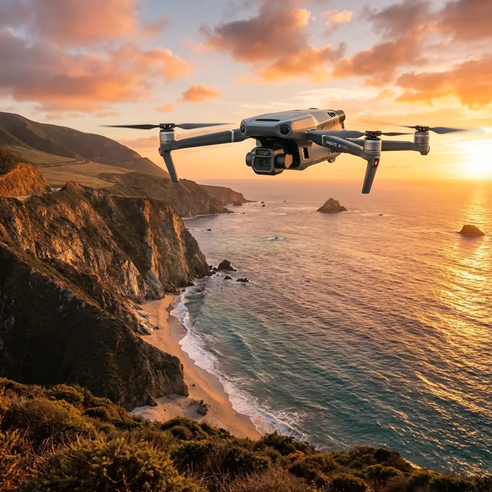
Mavic 3T Field Report: Surveying Highways in Low Light Without Losing Thermal Detail
META: Expert field report on using the DJI Mavic 3T for low-light highway surveys, including optimal flight altitude, thermal signature capture, transmission reliability, and operational workflow.
Highway work before sunrise has a different rhythm from daytime mapping. Traffic is thinner, the asphalt is cooling unevenly, embankments still hold residual heat, and small defects can reveal themselves more clearly in thermal than they ever do in visible light. That is exactly where the Mavic 3T becomes more than a compact drone with a thermal payload. In the right workflow, it becomes a decision-making tool for inspectors who need to cover distance quickly, preserve evidence quality, and avoid wasting sorties on poor capture geometry.
I have used larger thermal platforms for corridor work, but the Mavic 3T fills a very specific operational gap. For low-light highway surveying, it is not trying to replace heavy-lift mapping aircraft or long-endurance fixed-wing systems. Its strength is targeted reconnaissance with enough sensor flexibility to move from anomaly detection to visual verification in a single flight. On a highway job, that matters. Crews rarely have the luxury of flying once for thermal, landing, re-tasking, and then returning later with a separate system for context imagery. You need a clean chain of evidence while the scene conditions are still stable.
The Mavic 3T is particularly effective when the survey objective is not broad daytime photogrammetry of a full corridor, but early-morning identification of heat-retaining voids, drainage irregularities, shoulder moisture, utility issues, bridge deck inconsistencies, or wildlife and human presence near active lanes. In those cases, thermal signature quality matters more than pretty orthomosaics. That changes how you should fly it.
The first mistake many operators make is flying too high because they are thinking like daytime mapping pilots. If your scenario is a low-light highway survey, the optimal altitude for the Mavic 3T is often lower than teams expect, typically in the 45 to 70 meter range above ground level for anomaly detection passes. That altitude band is a practical sweet spot because it preserves enough thermal contrast to distinguish narrow linear features, patchwork temperature differences, and edge effects along the shoulder, while still giving you efficient forward movement along the corridor. Push much higher and small heat differentials begin to flatten into ambiguity. Go too low and you lose route efficiency, create more frequent angle corrections, and increase workload when operating near signs, gantries, lighting poles, and roadside vegetation.
For bridge approaches, culverts, drainage crossings, or suspected pavement segregation zones, I often tighten that altitude further to around 35 to 45 meters for a confirmation pass. The reason is operational, not theoretical. At that lower height, the thermal image can better separate a genuine anomaly from surface clutter such as pooled water, fresh tire heating, or reflective interference from roadside objects. On a highway, false positives are expensive because every questionable spot can trigger a follow-up inspection or lane management decision.
That is why the Mavic 3T works best when flown as a two-layer mission. The first layer is corridor screening at moderate altitude. The second is selective descent over thermal events that warrant a closer look. Trying to do both jobs from one fixed height usually degrades one of them.
Low-light conditions also change your assumptions about visible imaging. Operators sometimes think darkness makes the optical side secondary, but that is not really true. The optical payload still provides essential positional context, surface geometry clues, lane marking references, and asset identification. However, in pre-dawn work the thermal camera often becomes your primary detection sensor while the visual camera serves more as a confirmation and documentation layer. That shift in sensor priority should influence flight speed. If you are relying on thermal first, slower and steadier passes are usually worth the extra time, especially over ramps, shoulders, and joints where signature variation can be subtle.
Transmission reliability becomes a bigger deal than people admit. On a long, linear highway mission, you are often dealing with a difficult radio environment: moving vehicles, roadside barriers, utility infrastructure, uneven topography, and extended stand-off distances from the area of interest. The Mavic 3T’s O3 transmission system matters here because corridor work punishes unstable links. If the feed degrades just as you are trying to assess whether a warm patch is a drainage issue, buried service line effect, or simply retained heat from traffic, you lose confidence in the mission. Stable transmission is not just a convenience feature. It directly affects whether the remote pilot and observer can classify findings in real time or need to repeat sections later.
Security is another overlooked point in infrastructure operations. The Mavic 3T supports AES-256 encryption, and for highway contractors, utilities, and public agencies, that is not just a specification sheet detail. It has operational significance when flights involve critical transport corridors, incident scenes, or sensitive utility alignments. A secure link reduces exposure when transmitting live imagery from sites that may include restricted layouts, emergency activity, or strategic transport assets. For teams writing standard operating procedures, this is one of those details that helps justify the platform in regulated or security-conscious environments.
Where the Mavic 3T requires discipline is in photogrammetry expectations. It can absolutely support mapping tasks, but low-light highway surveying with this aircraft should not be approached as if thermal and precision corridor photogrammetry are interchangeable outputs. If the job includes measurements that need tighter spatial confidence, GCP planning still matters. Ground control points remain the simplest way to anchor imagery products when the deliverable extends beyond reconnaissance and into defensible engineering documentation. In practice, that means separating “find the issue” from “model the issue.” Use the Mavic 3T to detect suspect zones under favorable thermal conditions, then determine whether a follow-up daylight mission with stricter photogrammetric settings is required.
That distinction can save a lot of frustration. I have seen teams attempt to derive too much geometric certainty from a low-light thermal sortie simply because the aircraft can collect multiple data types. The better approach is staged evidence gathering. Let thermal reveal where attention is needed. Let targeted optical capture and GCP-supported workflows handle the measurement-grade tasks that follow.
Battery strategy matters more on highway work than on compact site inspections. Corridor surveys create a strong temptation to stretch each sortie to the limit, especially when the mission area extends across interchanges and long shoulder segments. Resist that urge. Even with hot-swap batteries in your field workflow, the smarter practice is to plan conservative legs and preserve enough reserve for a controlled reposition or a second look at a critical finding. Highways are dynamic spaces. Wind funnels differently around overpasses, moving vehicles alter situational awareness, and emergency access constraints can change your recovery options quickly. A neatly planned battery rotation is not just about endurance. It is about keeping enough margin for the unexpected.
This is also where crews start thinking about BVLOS, especially on long infrastructure corridors. The use case is obvious. Highways are linear, repetitive, and often ideal candidates for extended standoff operations. But the Mavic 3T’s usefulness in this context should not tempt operators into treating the mission as administratively simple. BVLOS can transform corridor efficiency, but only when the regulatory framework, risk controls, and detect-and-avoid procedures are fully built out. For many teams, the real near-term value lies in flying segmented visual-line-of-sight missions with disciplined leapfrog positioning and clear communication between pilot, observer, and ground support. That approach keeps the data usable without forcing the operation beyond what the site and authorizations can safely support.
One practical field method I recommend is to break the highway into thermal behavior zones rather than equal map lengths. A bridge deck, shaded cutting, median drainage segment, paved shoulder repair area, and interchange ramp all cool and retain heat differently. If you divide the mission by thermal logic instead of by neat distance blocks, your flight settings become more accurate. You may hold 60 meters over a broad straight section, then intentionally step down to 40 meters over a culvert crossing or approach slab where finer discrimination is needed. This is a much better use of the Mavic 3T than a rigid one-size-fits-all route.
Another point that deserves attention is timing. For low-light highway surveys, the best window is often not full darkness but the period just before sunrise, when solar loading has not yet started to flatten temperature differences. That timing helps expose residual thermal patterns in pavement and roadside features. Once the sun begins affecting the surface, interpretation gets harder fast. A warm patch that was meaningful twenty minutes earlier can become visually and thermally less distinct, especially on complex surfaces with mixed materials.
If your team is building an inspection workflow around the Mavic 3T, the most effective habit is immediate annotation in the field. Do not trust memory after a long corridor sortie. Mark thermal events by location, classify whether they are likely pavement, drainage, structural, vegetation, or intruder-related, and note the altitude used when the signature was captured. This is especially useful when you later compare a 65-meter screening image against a 40-meter confirmation pass. Those altitude notes help explain why one image looked inconclusive and the other clearly separated the issue from surrounding thermal noise.
For crews refining their process, I usually suggest a simple sequence: pre-dawn launch, first pass at around 60 meters, deliberate speed control, descent only where anomalies justify it, and immediate cross-reference with visible context before moving on. That workflow keeps the Mavic 3T inside its strengths. It is fast enough to cover meaningful distance, flexible enough to verify findings in the same sortie, and compact enough to deploy from constrained roadside staging areas.
The Mavic 3T is not magic, and highway surveying in low light still demands judgment. But when operators stop treating it like a generic camera drone and start using it as a thermal-first corridor inspection platform, the results improve quickly. The sensor fusion, O3 link stability, and AES-256-secured transmission are not abstract features in this scenario. They shape whether you can trust what you are seeing, classify it on the spot, and move the mission forward without unnecessary repeats.
If you are refining a corridor workflow and want to compare mission planning notes with another operator, you can message our field desk here. That kind of practical exchange often saves more time than another round of office speculation.
For low-light highway work, my core advice is straightforward: fly lower than you would for broad daytime mapping, think in thermal zones rather than equal distances, and treat anomaly confirmation as a separate task from simple coverage. The Mavic 3T rewards that discipline. Used well, it gives inspectors a fast, secure, and highly targeted way to detect what the road surface and roadside environment are trying to hide before daylight washes the clues away.
Ready for your own Mavic 3T? Contact our team for expert consultation.