Mavic 3T Surveying Tips for Dusty Highway Projects
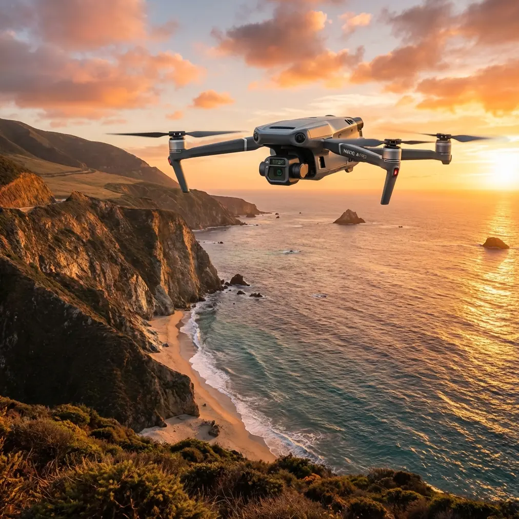
Mavic 3T Surveying Tips for Dusty Highway Projects: What Actually Matters in the Field
META: Practical Mavic 3T highway surveying tips for dusty conditions, with expert guidance on flight control, telemetry, thermal use, mission planning, and safer data capture workflows.
I learned this lesson on a road corridor job where the terrain looked simple on paper and punishing in real life. Long stretches of exposed surface. Constant traffic movement nearby. Fine dust hanging in the air by mid-morning. The client wanted repeatable progress records, thermal checks on select assets, and clean visual documentation for engineering review. What slowed us down was not the aircraft’s camera. It was the management of the flight itself.
That is why the Mavic 3T makes sense for highway work when you treat it as more than a flying sensor. On dusty survey projects, the useful question is not just image quality. It is how the aircraft’s control, telemetry, planning, and monitoring stack work together under field pressure.
The deeper engineering logic behind that matters. A classic unmanned aircraft flight control and management system is built around four core parts: a sensor subsystem, a control and management computer, a servo actuation subsystem, and a ground control and display terminal. That framework comes straight from UAV flight-control engineering, and it is still the right way to think about a compact enterprise platform like the Mavic 3T. If you understand those four pieces in a highway workflow, your missions become more consistent, and your rework rate drops.
Why dusty highway surveys expose weak workflows
Highway projects create a special kind of friction for drone teams. Dust degrades visibility and contrast. Heat shimmer builds over paved sections. Long linear routes tempt operators to push link limits or rush mission setup. Small mistakes compound fast.
On one corridor inspection, we were trying to document shoulder erosion and drainage issues while also collecting thermal views of a few suspect structures. Every extra landing meant more dust near the aircraft, more time spent checking the lens, and more opportunities for inconsistency between flight segments. The aircraft itself was capable. The bottleneck was workflow discipline.
This is where the Mavic 3T stands out in practice. Not because it erases field complexity, but because it gives you enough integrated control to keep the operation tidy when conditions are not.
Start with the system, not the sensor
Most pilots talk about the thermal payload first. Fair enough. Thermal signature review is useful on highway jobs for spotting water intrusion patterns, abnormal heat on electrical or roadside equipment, and surface differences that are easy to miss in RGB. But for reliable field output, the camera sits inside a bigger operational chain.
The source material on UAV control systems makes a sharp point: the control and management computer is the core of the system because it handles information collection, processing, control and navigation computation, management, monitoring, and control output. That is not abstract theory. On a Mavic 3T survey, it translates directly into what saves time:
- position and velocity awareness during corridor flights
- altitude and air data interpretation in changing terrain
- attitude stability in crosswinds and dusty air
- continuous monitoring through the ground display terminal
- cleaner mission repeatability from one segment to the next
If you have ever run the same section twice because the first pass drifted, your problem was not “the map.” It was system control.
Tip 1: Build highway missions around the ground terminal, not around improvisation
The same flight-control reference places mission planning, telemetry display, remote control, and flight-state monitoring inside the ground control terminal. That is operationally significant for highway work because the ground interface is where repeatability lives.
With the Mavic 3T, do not treat the controller as a live view screen. Treat it as your command center. Before wheels start moving on site, structure each run around:
- route segmentation by chainage or station interval
- predefined takeoff and recovery points away from active dust plumes
- overlap targets for photogrammetry where surface reconstruction matters
- alternate short legs for thermal passes when heat interpretation is the priority
- pre-briefed telemetry thresholds for wind, battery reserve, and signal quality
This matters on a long corridor because a highway is deceptive. It looks linear, but the work is rarely uniform. Embankments, culverts, barriers, lane shifts, stockpiles, and utility crossings all ask slightly different things from the aircraft. Planning in the ground terminal lets you standardize those differences instead of reacting to them.
If your team needs to compare route planning habits or field setup logic before deployment, I usually suggest sending the mission sketch here: share your corridor layout for a field workflow check.
Tip 2: Use thermal only where thermal adds operational value
The Mavic 3T’s thermal capability is useful on highway jobs, but only when deployed with a purpose. In dust-heavy projects, thermal should not become a default mode for everything. Use it where temperature contrast reveals something actionable.
Good civilian uses include:
- checking drainage paths or trapped moisture patterns near subgrade trouble spots
- reviewing roadside electrical cabinets or equipment enclosures for abnormal heating
- inspecting bridge joints, deck transitions, or retaining features when heat differences support maintenance review
- identifying water retention zones that affect construction staging
Where teams go wrong is trying to run thermal and photogrammetry as if they are identical tasks. They are not. Thermal is interpretive. Photogrammetry is geometric. The first asks, “What is behaving differently?” The second asks, “Can I measure this reliably later?”
That distinction affects flight height, timing, overlap, and even when you fly. Midday dust and radiant heat can reduce the usefulness of thermal interpretation on some surfaces. Early morning often gives cleaner thermal contrast, while later light may work better for visual progress records.
Tip 3: Respect the sensor chain in dusty air
The reference document describes how UAV sensor subsystems may include position and speed sensors such as GPS and inertial navigation equipment, airspeed and altitude sensors including pressure-based inputs, attitude and heading sensors such as gyros and heading references, and angular rate sensors. The exact hardware implementation differs by platform, but the principle is universal: stable data comes from multiple sensing layers working together.
For a Mavic 3T operator, that means dusty highway work is never just about the image sensor. Dust affects how confidently you can launch, hold position, descend, and land. Practical adjustments help:
Choose launch points with airflow in mind
Do not lift off from the edge of a freshly trafficked shoulder if a few meters of cleaner ground are available. Rotor wash plus surface dust creates unnecessary contamination risk.
Inspect optics after every low-altitude segment
Short flights near stockpiles, gravel shoulders, or milling zones can leave residue that weakens both visual and thermal interpretation.
Reduce unnecessary low hover time
Dust concentration rises when the aircraft hangs close to the ground. If the task allows it, keep transitions efficient.
Watch telemetry, not just the frame
A clear live image can hide unstable flight behavior. Monitor the aircraft state continuously, especially when terrain or wind corridors create subtle disturbances.
That last point is where experienced survey teams separate themselves from casual operators. They do not trust only what the camera sees. They trust what the flight system is reporting.
Tip 4: Divide mapping, inspection, and corridor review into separate mission types
A lot of poor Mavic 3T highway output comes from trying to do three jobs in one flight. The aircraft can carry a lot of responsibility, but your data quality improves when you divide objectives.
Mission type A: Photogrammetry pass
Use this for orthomosaic or progress documentation where overlap and consistent geometry matter. If GCPs are part of your workflow, place them where dust, vehicle movement, and shadow transitions will not compromise visibility.
Mission type B: Thermal diagnostic pass
Fly this lower or at a different time window if necessary. Focus on features where thermal signature tells a maintenance or engineering story.
Mission type C: Visual engineering review
Use obliques and targeted framing for slopes, drainage structures, retaining walls, or pavement edge conditions that stakeholders need to interpret quickly.
This separation saves time later. Engineers do not want to dig through mixed-purpose files to extract one useful deliverable. Clear mission logic produces cleaner downstream decisions.
Tip 5: Think about route length like an aircraft designer thinks about margins
One of the reference materials, though written for manned civil aircraft, underlines a discipline that drone teams should borrow: operations must respect performance boundaries and verification margins. It mentions a 15 m (50 ft) obstacle reference in takeoff performance definitions and also notes regulatory distinctions for aircraft above 2720 kg (6000 lb). Those numbers are not directly about the Mavic 3T, but the underlying mindset absolutely applies.
For dusty highway missions, build your own margins:
- battery reserve margin for unplanned repositioning
- signal margin for long corridor sections
- altitude margin for wires, signs, and uneven ground
- visibility margin when dust thickens with site activity
- time margin for repeat runs if one segment is compromised
The point is simple. Do not fly the corridor right up against the edge of your available capacity just because the path looks straight. A long straight line is where operators become careless.
Tip 6: Use O3 transmission and AES-256 thinking as operational tools, not brochure terms
On highway jobs, transmission quality is not just convenience. It affects confidence in frame review, flight-state awareness, and command continuity across a stretched work area. O3 transmission matters because corridor work often pressures the link in exactly the places where you need clean telemetry the most.
AES-256 also matters in a practical way for infrastructure documentation. Survey data, thermal captures, and progress imagery may involve sensitive construction records or utility-adjacent details. Secure handling is part of professional workflow, especially when files are distributed across project stakeholders.
Neither feature replaces planning. Both become more valuable when your mission structure is disciplined.
Tip 7: BVLOS discussions should start with process, not ambition
Many highway clients eventually ask about BVLOS potential because roads are long and repetitive. The right answer is not a quick yes or no. It is a process conversation.
The flight-control source emphasizes that UAV systems are tied to external interfaces with telemetry, task equipment, electrical systems, and broader operational support. That matters because highway operations are systems work. A compliant BVLOS pathway is not just an aircraft capability question. It touches communications reliability, observer logic where required, mission management, data handling, site risk controls, and local regulations.
So if you are using the Mavic 3T today in VLOS corridor work, prepare for future BVLOS thinking by improving your current procedures first:
- standardize route templates
- document launch and recovery criteria
- formalize telemetry callouts
- record environmental limitations
- separate payload objectives clearly
Teams that do this well move into advanced operations much more smoothly.
Tip 8: Battery strategy in dust is about continuity, not speed
Hot-swap batteries are often discussed as a convenience feature. On highway projects, the real value is continuity. Dusty environments punish rushed handling. If your battery change process is chaotic, your lenses get dirtier, your notes get messier, and your mission segmentation becomes inconsistent.
A clean battery workflow should include:
- sheltered change point if possible
- lens and sensor face check at each swap
- segment naming before relaunch
- quick telemetry sanity check before takeoff
- log note on dust conditions if they worsened
That sounds basic. It is also the difference between a corridor dataset that stitches smoothly and one that leaves the office team guessing.
Tip 9: Build deliverables around decisions the client needs to make
The Mavic 3T is often underused because teams deliver images instead of answers. For highway work, tie each flight to a decision category:
- progress verification
- drainage assessment
- slope or shoulder condition review
- heat anomaly follow-up
- asset maintenance prioritization
When your mission planning, telemetry discipline, and payload use all point toward one of those outcomes, the aircraft’s strengths become obvious. The Mavic 3T is not just helping you collect media. It is helping you reduce ambiguity.
What made this model easier for me on real corridor work
The biggest change was not any single feature. It was how much easier it became to keep the entire flight-control loop coherent in bad field conditions. Dusty highway work rewards systems that keep sensing, navigation, actuation, and ground monitoring tightly connected. That is exactly the architecture described in formal UAV flight-control literature, and it is exactly how a professional operator should think about the Mavic 3T.
When that mindset clicks, your surveys become less dramatic. Fewer improvised reruns. Better consistency across segments. More usable thermal captures. Cleaner photogrammetry. Less friction between field crew and office team.
That is the real win.
Ready for your own Mavic 3T? Contact our team for expert consultation.