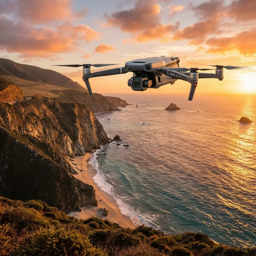
Mavic 3T for Windy Power Line Surveys: A Field Tutorial
Mavic 3T for Windy Power Line Surveys: A Field Tutorial from an Operator’s Perspective
META: Practical Mavic 3T tutorial for windy power line inspections, covering thermal workflow, flight planning, battery management, transmission stability, data integrity, and field tips for safer civilian utility surveys.
Power line surveying in wind exposes every weakness in a drone workflow. Not just the aircraft. The plan, the battery routine, the camera settings, the way the pilot handles handoff between visual checks and thermal review—everything gets tested.
The Mavic 3T is often discussed as a compact thermal platform, but that description is too shallow for utility work. In windy transmission corridor surveys, its value comes from how several systems behave together: flight stability, thermal imaging, transmission reliability, georeferenced data capture, and how quickly the crew can cycle through sorties without degrading decision quality.
I’ve seen teams focus on headline specs and then lose time to preventable mistakes in the field. The bigger issue usually isn’t whether the Mavic 3T can see a hot connector. It’s whether the operator can keep data consistent across multiple spans, maintain battery discipline as conditions shift, and preserve enough link confidence to finish the route without cutting corners.
This tutorial is built around that real use case: civilian power line survey work in windy conditions.
Why windy line work changes the way you use the Mavic 3T
Power line surveying is repetitive in the best and worst sense. The task seems simple—follow the corridor, inspect structures, document anomalies—but wind introduces small disturbances that compound over time. Crosswind drift affects framing. Gusts affect hover precision. Battery consumption rises. Thermal interpretation gets harder because you are often trying to confirm a signature while the aircraft is making continuous micro-corrections.
That matters because line inspection is not just image collection. It is evidence collection.
The Mavic 3T’s thermal signature workflow is strongest when the aircraft can hold stable enough for repeatable views of insulators, splices, clamps, jumpers, and hardware transitions. In wind, you should think less like a casual drone pilot and more like a systems operator. Stability, orientation, and sortie timing become part of image quality.
This is where a lesson from conventional aircraft design is surprisingly useful. In civil aircraft wing design, engineers do not assume one section of a wing behaves exactly like another. Even when the planform looks smooth, designers still introduce control airfoil sections around 30% to 40% of the semi-span to manage the transition from root-influenced flow to the main working wing section. That detail exists because airflow is three-dimensional, not uniform.
The field equivalent for Mavic 3T operators is straightforward: do not assume one part of a power line route behaves like the rest. A river crossing, a ridge edge, a substation approach, and an open agricultural span can all produce different wind effects on the same mission. Treat the corridor in segments, not as one continuous pattern flight. If the environment changes, your spacing, altitude, and inspection angle should change with it.
That mindset alone improves data quality.
Start with segmentation, not a single route
For windy utility work, I break a line survey into operational blocks:
- Open-span passes
- Tower or pole structure inspections
- Crossings and terrain transitions
- Thermal verification re-checks
This sounds basic, but it prevents a common mistake: trying to capture everything in one linear run. In smooth air, that may be tolerable. In wind, it is inefficient and often unsafe from a workflow standpoint.
Open spans usually allow a steadier cadence and better lateral offset. Structure inspections demand tighter positioning and slower movement. Terrain transitions can create rotor-level turbulence. Thermal re-checks often need a return pass from a slightly different angle to confirm whether a hotspot is real, reflection-driven, or load-related.
The Mavic 3T handles these roles well when the pilot stops treating the whole task as one flight mode.
Use the thermal camera as a confirmation tool, not a search crutch
The thermal payload is the reason many utility teams choose the Mavic 3T, but thermal can be overtrusted. In windy conditions, thermal imagery is at its best when used to confirm suspected anomalies after a disciplined visual pass, not as a substitute for one.
For example, on a line with mixed hardware ages, you may spot a subtle alignment issue or connector discoloration in visual imaging first. Thermal then helps determine whether that component is operating differently from adjacent hardware. That two-step process usually produces fewer false positives than scanning everything thermally and hoping the heat pattern tells the whole story.
Wind complicates interpretation because unstable framing can make tiny hot areas harder to compare. If the aircraft is bouncing slightly while you are trying to assess a connector, the problem is not always the sensor. It may be the way the pass was flown.
A good rule: if the hotspot matters, get a second look from a controlled position before you log it as actionable.
Transmission confidence matters more than people admit
For corridor work, video link quality is not just a convenience. It affects inspection confidence. The Mavic 3T’s O3 transmission gives crews a strong foundation for live review, especially when dealing with distance, vegetation edges, or mild terrain shielding. But power line environments are not always clean radio environments, and wind often encourages operators to drift into less favorable positions because they’re focused on holding visual geometry.
The operational point is simple: preserve your link margin before you need it.
That means:
- Keep your antenna orientation intentional.
- Avoid flying behind structures or terrain masks just because the aircraft feels stable.
- Do not let crosswind drift carry the aircraft into a worse transmission angle during a thermal hold.
- If your route includes steel-heavy infrastructure or dense utility hardware, assume local interference can be uneven.
There’s another useful parallel from classical aircraft systems thinking. In flight management design, digital control interfaces are standardized for a reason. A reference like ARINC 429 exists because reliable data exchange matters when systems must speak clearly under operational load. The same principle applies in Mavic 3T utility work: when link quality, aircraft state, and payload data stay coherent, the operator makes better decisions faster.
That is also why teams handling sensitive infrastructure imagery should take data protection seriously. The Mavic 3T workflow benefits from secure handling practices, and features such as AES-256 encryption are not just check-box items. For utility asset work, they support chain-of-custody discipline, client trust, and internal compliance when thermal and visual records are transferred or archived.
My field battery tip: rotate by wind exposure, not just percentage
Here is the battery management habit that saves more missions than people expect.
Do not rotate batteries purely in numerical order or simply fly each one down to the same percentage. In windy power line work, track batteries by exposure profile.
A battery used for a gusty tower section has lived a different life than one used for a smoother open-span pass, even if both come back with similar remaining charge. One saw repeated throttle corrections, more hover stress, and probably more rapid current draw. The other may have had a comparatively easy sortie.
My method is simple:
- Mark batteries physically.
- Log which batteries were used on the hardest wind-facing segments.
- Do not immediately reuse the most stressed pack for the next precision inspection leg.
- Give it time to normalize while another pack handles a lighter section.
This matters because battery voltage behavior under load can feel fine right up until the moment the aircraft starts giving you less margin than expected during a hold or return. When surveying utilities, the worst time to discover reduced confidence is while trying to complete a detailed tower pass in a crosswind.
If your operation supports hot-swap batteries at the workflow level—not literally changing them in the air, of course, but keeping the ground turnover fast and organized—use that advantage to protect mission quality. Fast turnaround is only useful if your battery rotation logic is smarter than “next pack up.”
Build your route around inspection geometry, not map neatness
Power line teams sometimes over-prioritize clean route lines because they want tidy mission planning. The problem is that power assets rarely reward neat geometry. Wind definitely does not.
Instead, build your route around:
- Safe stand-off distance
- The dominant wind direction
- Sun angle for visual contrast
- Repeatable thermal viewing angles
- The likely locations of turbulent air
For poles and towers, I prefer establishing one primary inspection side and one fallback side. If gusts make one approach unstable, the crew already knows the alternate angle rather than improvising on the spot.
This also helps with photogrammetry-adjacent tasks. While the Mavic 3T is not the first platform most people choose when pure photogrammetry is the main deliverable, utility teams often still need geographically consistent visual documentation tied to structures, access roads, vegetation encroachment, or site conditions. When that documentation must align with broader survey datasets, disciplined route geometry matters.
If you are integrating the outputs into a larger spatial workflow, GCP strategy should be decided before deployment, not after the fact. Many inspection teams leave survey control as an afterthought because the immediate task is thermal or visual asset review. Then later they wish the location consistency was tighter for engineering follow-up. If the mission may feed asset management, maintenance planning, or vegetation mapping, plan for control from the start.
Windy inspections demand stricter abort criteria
One habit separates experienced utility drone teams from optimistic ones: they stop early when the evidence starts getting weak.
You do not need to abort only when flight safety is obviously compromised. Sometimes the right call is to stop because the data is no longer trustworthy enough for utility decisions. That threshold should be defined before takeoff.
Abort or pause if:
- Hover corrections are degrading framing on critical components
- Repeated thermal confirmation passes still produce ambiguous signatures
- The link margin becomes inconsistent at the exact standoff distance you need
- Battery draw is increasing faster than expected on precision segments
- Wind direction shifts enough to break your planned inspection geometry
That last point gets overlooked. A route that was well designed for one wind direction can become inefficient or unreliable when the corridor starts channeling air differently.
What BVLOS changes—and what it does not
Some operators think BVLOS capability or planning automatically solves corridor efficiency. It does not. For civilian utility work, BVLOS mainly changes the scale and structure of operations, not the fundamentals of data collection. You still need reliable visual and thermal evidence, stable transmission behavior, battery discipline, and clear contingency logic.
If your regulatory environment and operating framework support BVLOS, the Mavic 3T can become part of a more productive inspection program. But windy power line survey quality still comes down to the same practical questions:
- Can you hold the angle you need?
- Can you trust the thermal observation?
- Can you maintain enough link confidence for the task?
- Can you bring the aircraft home with proper reserves after a harder-than-expected segment?
The aircraft can only answer those questions if the crew is organized enough to ask them.
A simple mission flow that works well with the Mavic 3T
Here is the workflow I recommend for windy line surveys:
1. Pre-brief by segment
Review the corridor and split it into wind-exposed zones, structure zones, and likely thermal verification points.
2. Assign primary and secondary viewing angles
Do this before launch. Do not leave critical structure geometry to field improvisation.
3. Use visual first, thermal second
Find the component, stabilize the view, then confirm with thermal.
4. Watch link quality during holds
O3 transmission is strong, but the best link is the one you preserve before interference, drift, or terrain begin to erode it.
5. Rotate batteries by stress history
This is the field habit that keeps later flights more predictable.
6. Tag uncertain findings for re-check
Do not force a decision from poor evidence.
7. Sync and secure data quickly
For teams building repeatable utility workflows, secure handling matters. If you want to compare setup notes or inspection workflow details with an experienced team, you can message our field crew directly on WhatsApp: https://wa.me/85255379740.
The real strength of the Mavic 3T in utility surveys
The Mavic 3T is not valuable because it turns power line work into a one-click task. It is valuable because it compresses serious inspection capability into a platform that can be deployed quickly, repositioned easily, and used by disciplined teams to gather useful thermal and visual evidence without dragging a large-aircraft logistics chain into every job.
For windy power line surveying, that compactness only pays off when the operator respects the mission’s complexity. Segment the route. Manage the link. Treat thermal as evidence, not magic. Rotate batteries based on stress, not habit. Build your geometry around wind and asset visibility instead of pretty map lines.
Do that, and the Mavic 3T becomes more than a thermal drone. It becomes a practical utility instrument.
Ready for your own Mavic 3T? Contact our team for expert consultation.